
Mountain · Spain
Teide
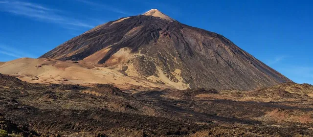
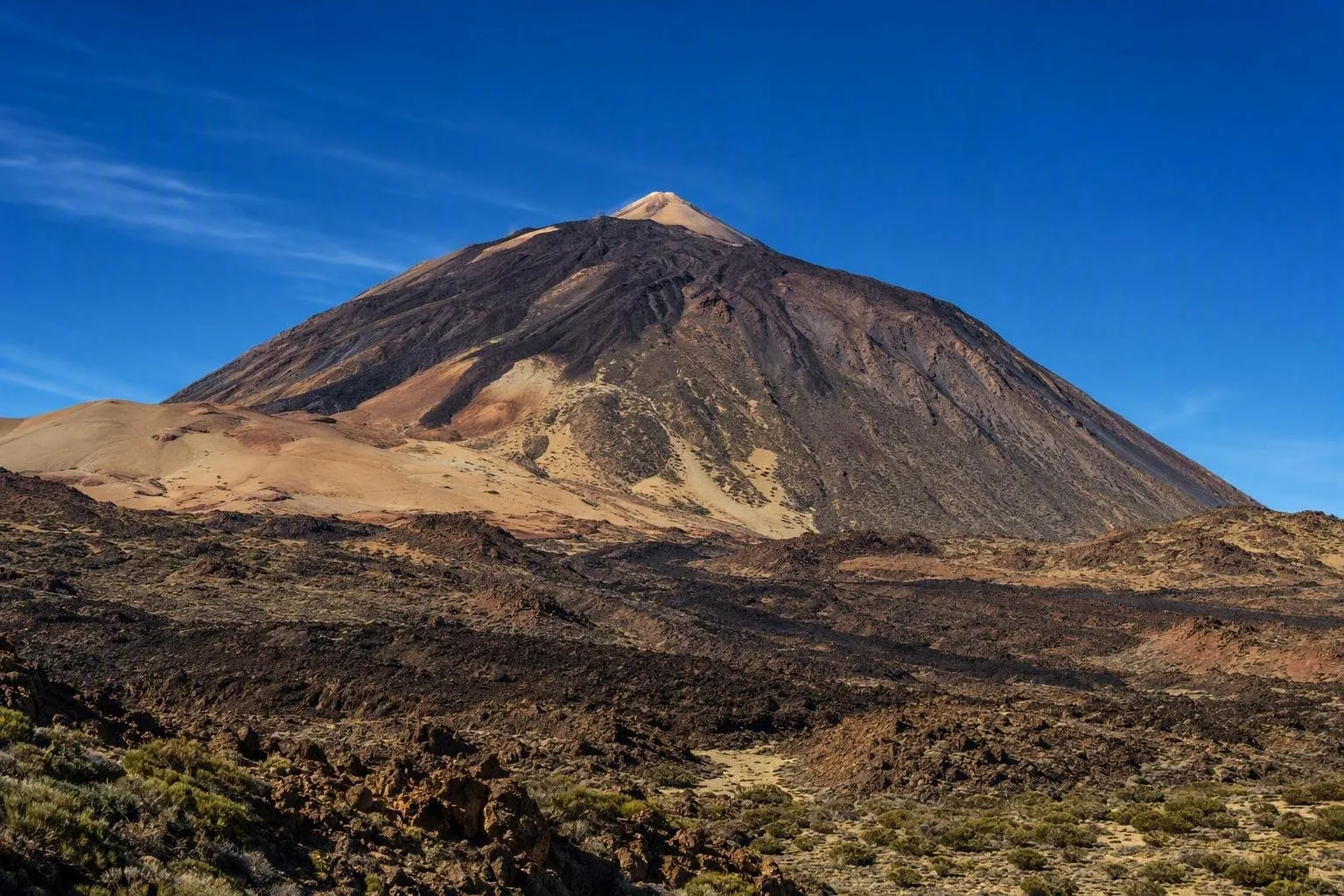
Teide is Tenerife’s 3,715-metre volcano and Spain’s highest peak, standing within Teide National Park in the centre of the Canary Island. Its high-altitude trails, cable car and volcanic caldera make it a serious mountain outing, not a coastal detour.
The mountain
Teide is the summit of the Teide–Pico Viejo volcanic complex, rising from the vast Las Cañadas caldera. At 3,715 metres, it is Spain’s highest point. The setting is defined by lava flows, pumice, volcanic cones and exposed rock rather than alpine meadow or forest.
The peak sits well above Tenerife’s resorts and beaches. Expect a marked change in temperature, wind and sun exposure as the road climbs into the national park.
Choose your level
Road-level Teide is the practical choice for seeing the volcano and caldera without a major ascent. Drive the park roads and use the signed viewpoints; the Roques de García and the broad caldera floor show the scale of the landscape particularly clearly.
Cable car runs from the base station at 2,356 metres to La Rambleta at 3,555 metres. From the upper station, the free paths to the La Fortaleza and Pico Viejo viewpoints give northern and southern perspectives without going to the summit.
On foot is a high-mountain undertaking. The Montaña Blanca–La Rambleta route is 8.2 km and takes about 5½ hours uphill; its height gain and altitude make it demanding.
Reaching the summit
The summit is not included with a cable-car journey. The final PNT 10 Telesforo Bravo trail starts at La Rambleta and reaches the peak in about 45 minutes over 0.69 km. It is steep, with gradients up to 60%, and requires a timed advance reservation.
Carry the reservation and matching identification. A permit for the summit trail does not guarantee that the cable car or trail will operate: wind, ice, snow and other conditions can close high routes. If approaching on foot, check whether the approach trail also needs authorisation.
Getting there
A car gives the most flexibility. The main approaches are TF-21 from La Orotava in the north or from Granadilla via Vilaflor in the south, TF-24 from La Laguna, and TF-38 from Chío in the west. Public buses connect Puerto de la Cruz on line 348 and Costa Adeje on line 342.
Allow time for the winding ascent and for stops; this is a large, spread-out mountain landscape rather than a single roadside sight.
Mountain rules and conditions
Most of the park lies above 2,000 metres. Wear proper mountain footwear and layers even on a warm coastal day; take water, sun protection and food for a walk. Altitude and lower oxygen make the summit ascent unsuitable for people with certain cardiopulmonary conditions.
Stay on signed trails. Do not collect rocks, plants or animals, camp freely, light fires or drive off public roads. These are protected volcanic terrain and enforceable park rules.
From the magazine
Stories about Teide
Editorial stories linked directly to Teide.
Routes from our editors
Travel through Teide
Editorial routes connecting Teide with other countries, cities and hotspots.
No routes through Teide have been published yet.
More in Spain
Related hotspots
Other cities, nature areas and places within Spain.
Manises: City of Ceramics
1 linked stories and routes
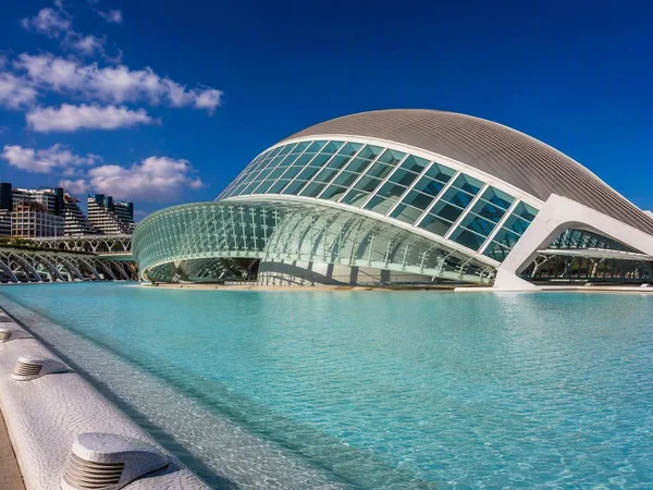
Valencia
1 linked stories and routes
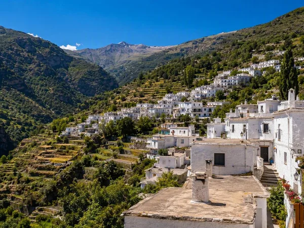
Alpujarras
1 linked stories and routes
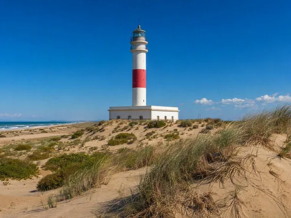
Ebro Delta
1 linked stories and routes
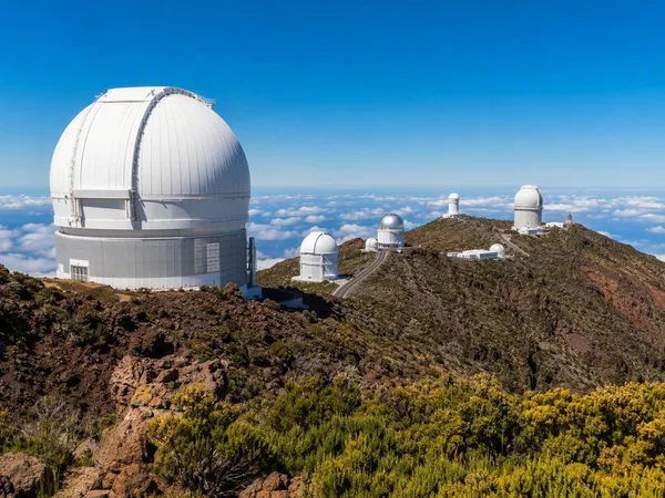
La Palma
1 linked stories and routes
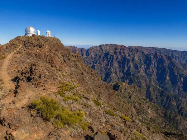
Roque de los Muchachos
1 linked stories and routes
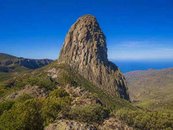
La Gomera
1 linked stories and routes
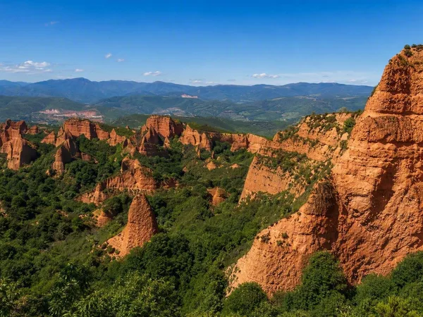
Las Médulas
1 linked stories and routes
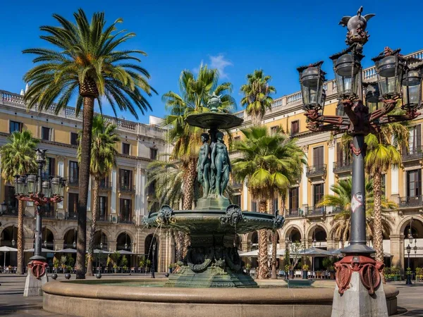
Plaça Reial
1 linked stories and routes
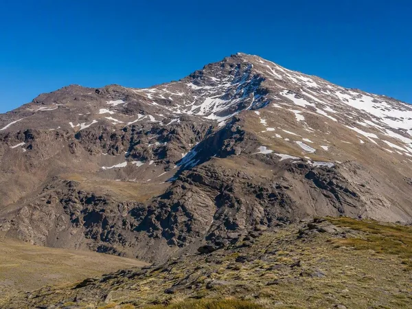
Sierra Nevada
0 linked stories and routes
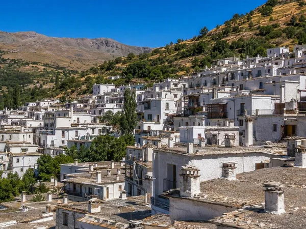
Trevélez
0 linked stories and routes
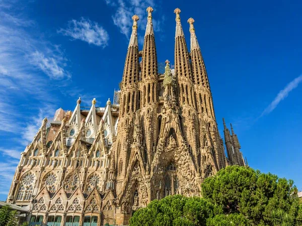
Barcelona
0 linked stories and routes