
National park · Spain
Picos de Europa National Park
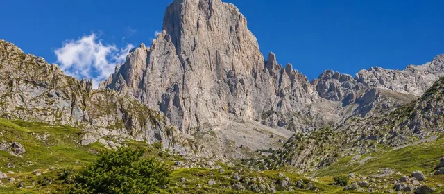
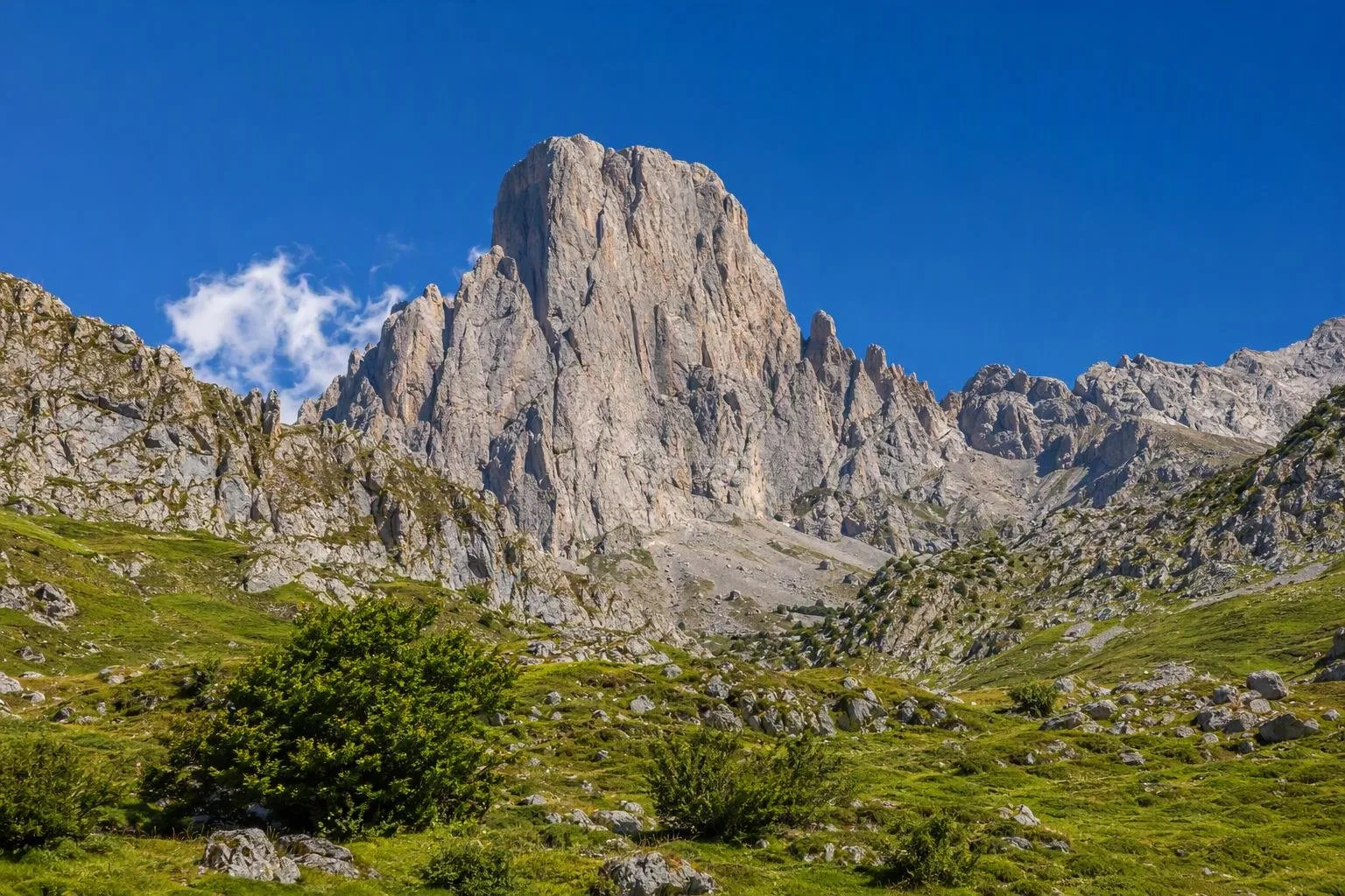
Picos de Europa is a limestone national park in eastern Asturias, part of the Cantabrian Mountains. Its Asturian side combines Covadonga’s high lakes, the Cares gorge, isolated mountain villages and the unmistakable Picu Urriellu.
The Asturian Picos
Picos de Europa National Park occupies the high limestone country of the Cantabrian Mountains and extends across Asturias, Cantabria and Castilla y León. This guide focuses on its Asturian approaches: Cangas de Onís and Covadonga in the west; Cabrales, Poncebos, Bulnes and Sotres in the north-east.
The terrain is steep, karstic and highly varied. Roads reach valleys and villages rather than crossing the mountain heart, so choose one sector for a day rather than trying to cover the park end to end.
Covadonga and the lakes
From Cangas de Onís, the road reaches the Sanctuary of Covadonga and then climbs to the Lakes Enol and Ercina, above 1,000 metres in the Western Massif. The lakes are the straightforward introduction to the park: a signed circular route from Buferrera offers a short 3 km option or a 5 km circuit, with old mines, viewpoints, pasture and beech woodland.
- Allow: about one hour for the short walk; about 2.5 hours for the longer circuit.
- Stop at: the Pedro Pidal visitor centre before walking.
- Conditions: fog can arrive quickly around the lakes; take warm layers and proper footwear.
At busy times, private vehicles are excluded from the CO-4 road to the lakes and access is by the dedicated bus network from Cangas de Onís and designated car parks. Covadonga itself remains separately accessible, subject to parking capacity.
Cabrales, Poncebos and Urriellu
Arenas de Cabrales is the practical base for the northern side. Continue to Poncebos for the Bulnes funicular, or drive onward through Tielve towards Sotres. Bulnes has no road access; reach it on foot or by its underground funicular.
For the classic view of Picu Urriellu, also known as Naranjo de Bulnes, head to Camarmeña’s viewpoint above Poncebos. The pale rock tower is the defining landmark of the Central Massif. Urriellu itself is mountaineering terrain; enjoy it from the village viewpoints unless you have appropriate alpine experience and equipment.
The Cares Gorge
The Ruta del Cares follows a former hydraulic-service route through the gorge between Poncebos and Caín. The full out-and-back from Poncebos is about 22 km and takes more than five hours. It is not a casual promenade: the path is narrow in places, exposed above the river and has loose rock underfoot.
Essential rules: carry enough water, wear mountain boots and do not cycle the trail. Rockfall is a natural hazard, and there are no side barriers along parts of the route. Plan a return before setting out; Caín is in León, not a transport-connected end point for a simple walk back to Poncebos.
Getting in and moving around
Approach the western sector via Cangas de Onís, using the AS-114 towards Onís and Cabrales for the northern approaches. Poncebos is the trailhead for the Cares route and the funicular station for Bulnes. Seasonal public-transport plans serve the lakes and, during selected periods, the Arenas–Poncebos corridor; they reduce pressure on the narrow mountain roads.
Dogs must be kept on a leash in the national park. Keep clear of grazing livestock and working mastiffs, and take all waste away.
From the magazine
Stories about Picos de Europa National Park
Editorial stories linked directly to Picos de Europa National Park.
No stories about Picos de Europa National Park have been published yet.
Routes from our editors
Travel through Picos de Europa National Park
Editorial routes connecting Picos de Europa National Park with other countries, cities and hotspots.
No routes through Picos de Europa National Park have been published yet.
More in Spain
Related hotspots
Other cities, nature areas and places within Spain.
Asturias
2 linked stories and routes
Manises: City of Ceramics
1 linked stories and routes
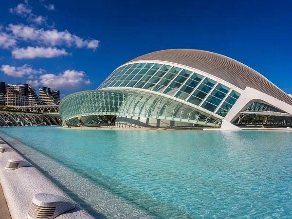
Valencia
1 linked stories and routes
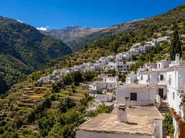
Alpujarras
1 linked stories and routes
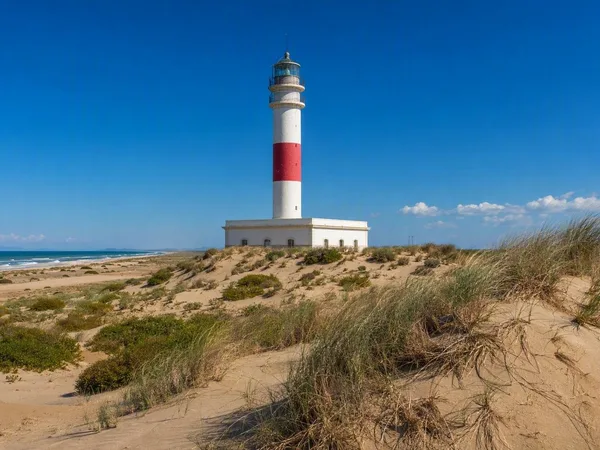
Ebro Delta
1 linked stories and routes
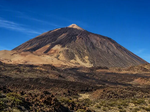
Teide
1 linked stories and routes
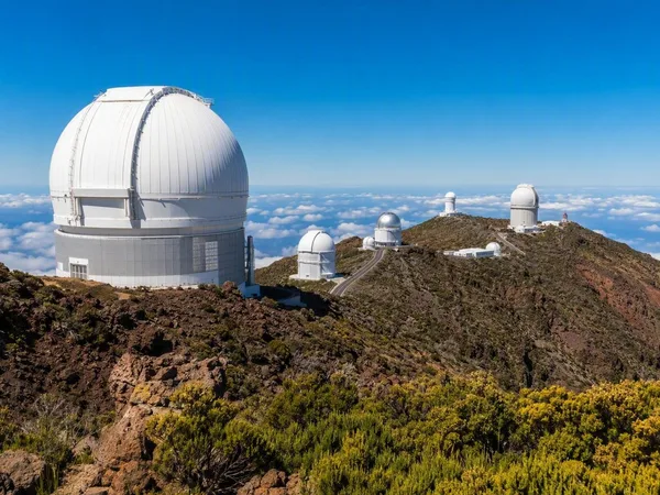
La Palma
1 linked stories and routes
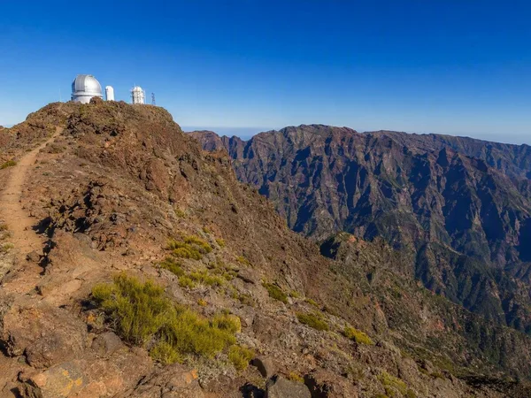
Roque de los Muchachos
1 linked stories and routes
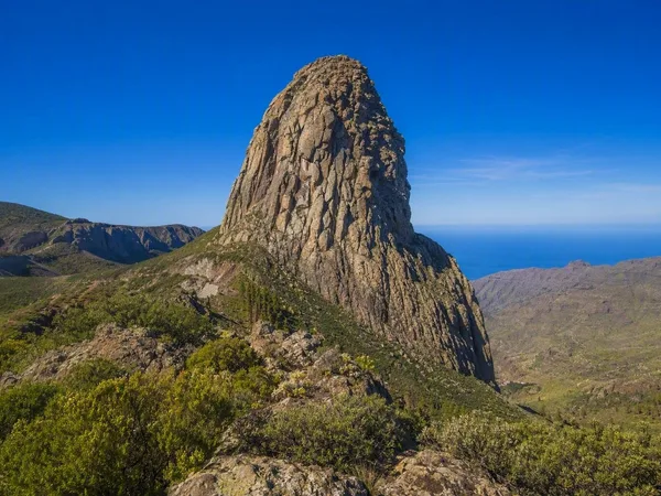
La Gomera
1 linked stories and routes
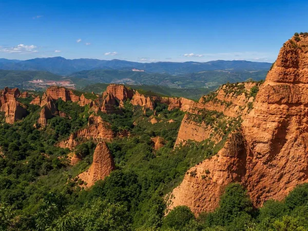
Las Médulas
1 linked stories and routes
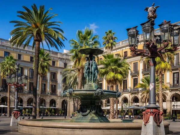
Plaça Reial
1 linked stories and routes
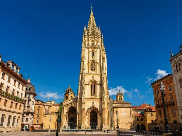
Oviedo
1 linked stories and routes
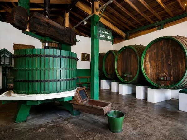
Colloto
1 linked stories and routes
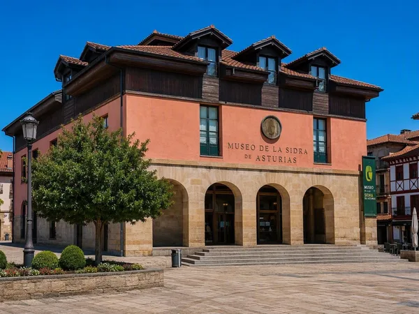
Nava
1 linked stories and routes
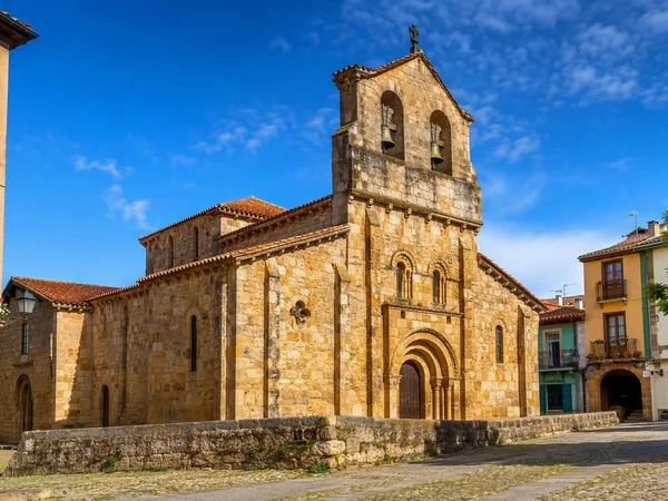
Villaviciosa
1 linked stories and routes
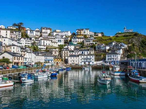
Luarca
1 linked stories and routes
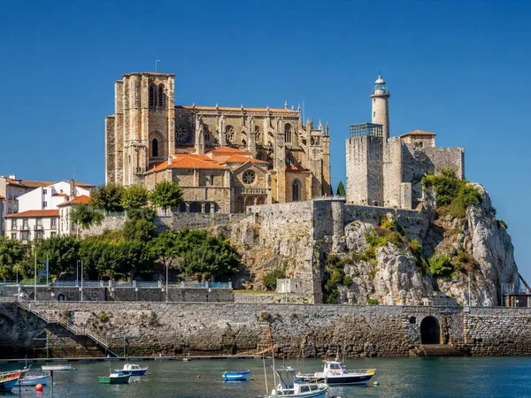
Castro Urdiales
1 linked stories and routes
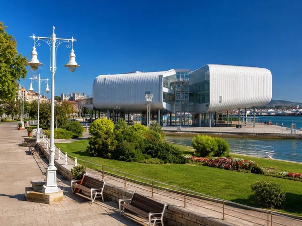
Santander
1 linked stories and routes
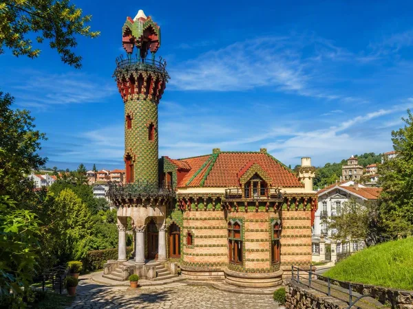
Comillas
1 linked stories and routes
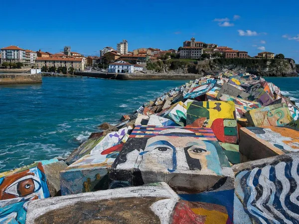
Llanes
1 linked stories and routes
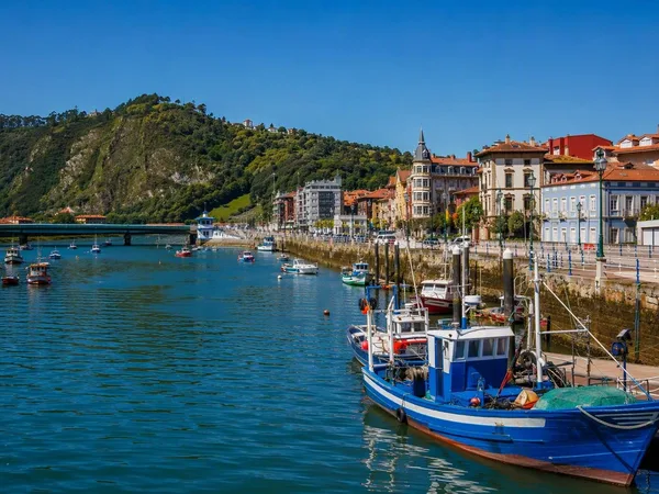
Ribadesella
1 linked stories and routes
Cudillero
1 linked stories and routes
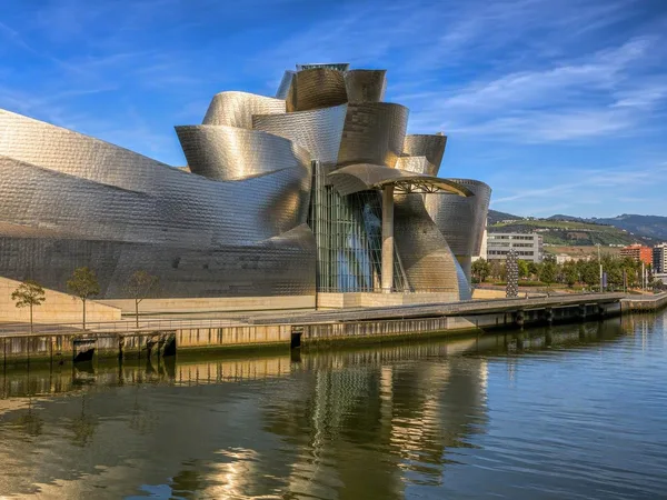
Bilbao
1 linked stories and routes
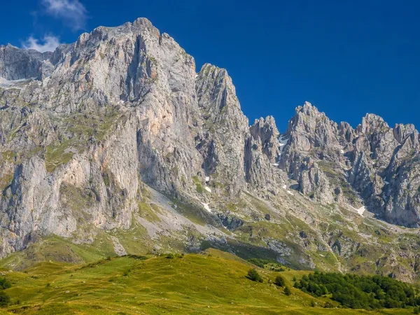
Cantabria
1 linked stories and routes
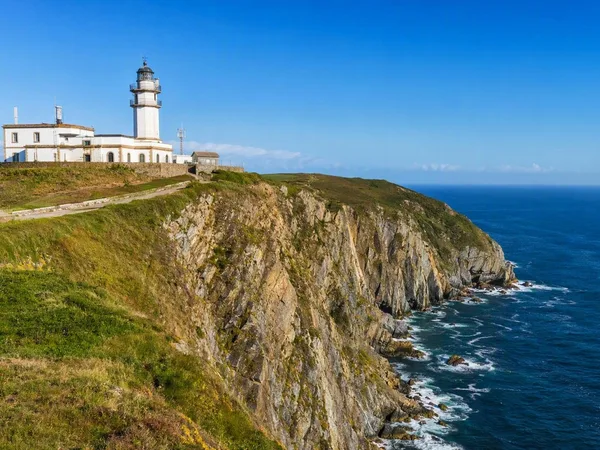
Cabo Vidio, Asturias
1 linked stories and routes

Córdoba
1 linked stories and routes
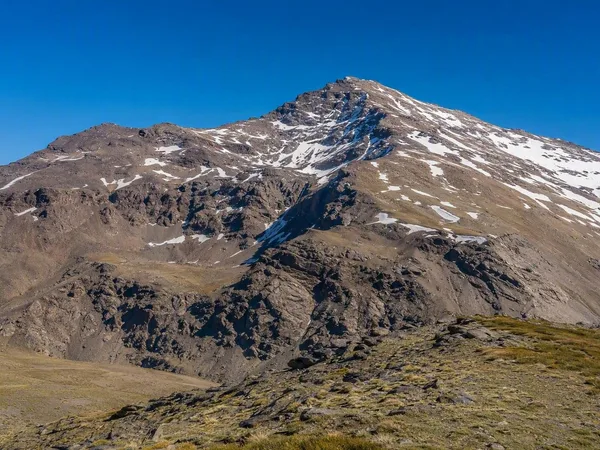
Sierra Nevada
0 linked stories and routes
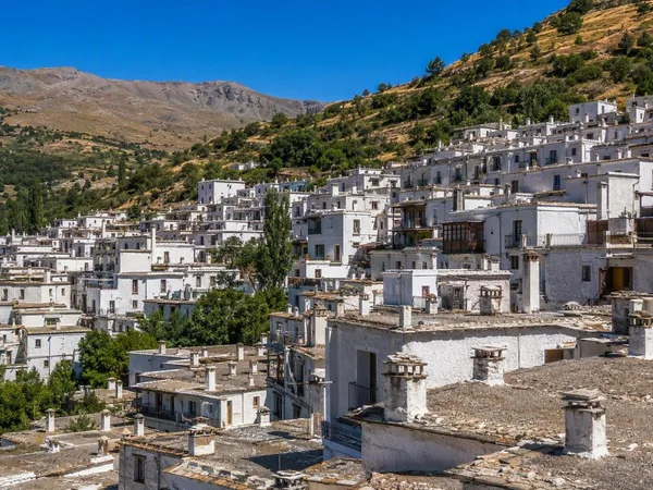
Trevélez
0 linked stories and routes
Barcelona
0 linked stories and routes
Lastres
0 linked stories and routes