
Region · Spain
Alpujarras
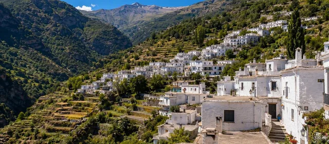
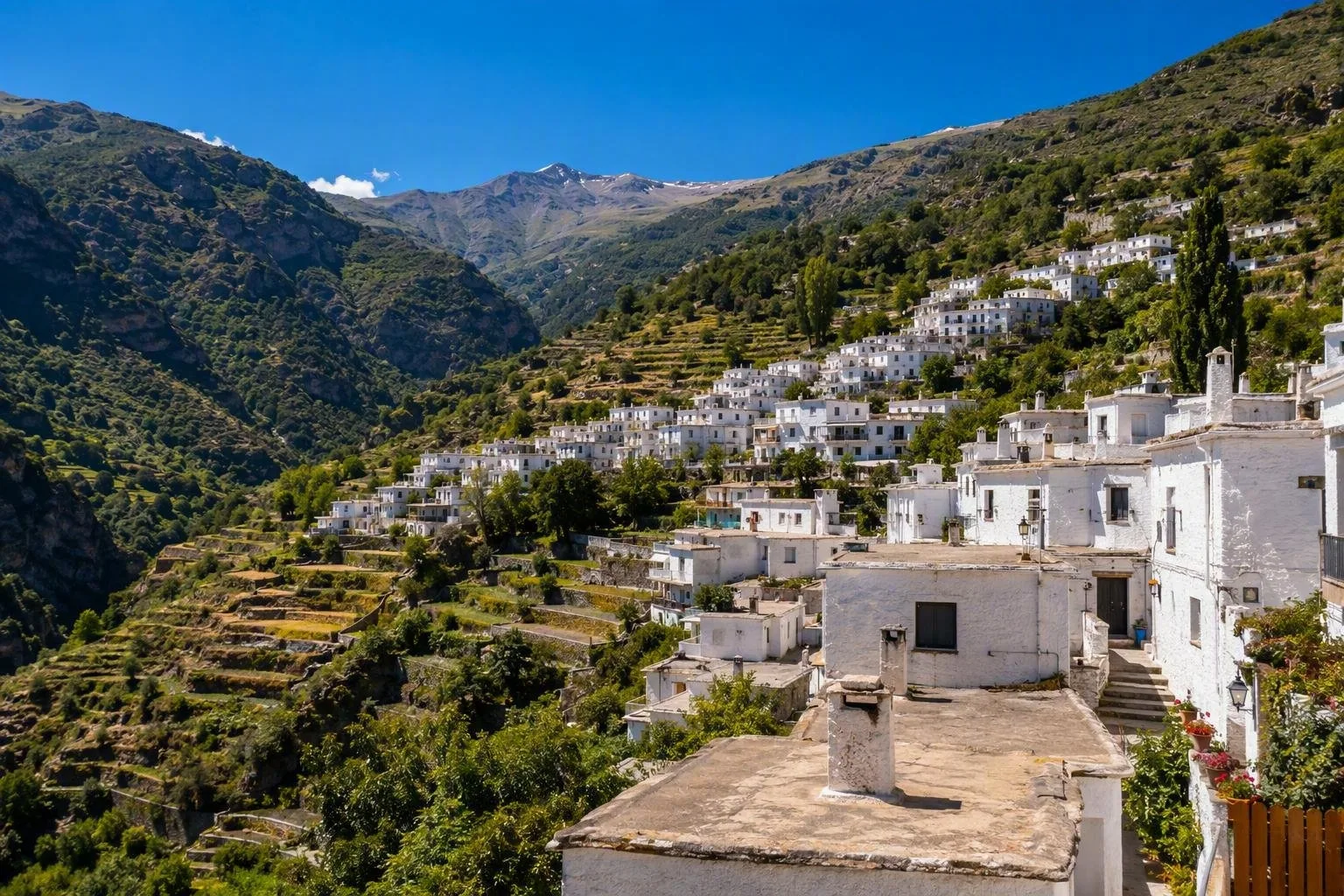
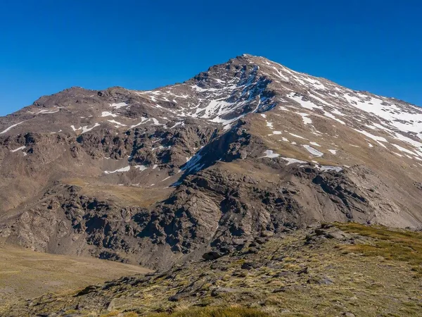
The Alpujarras is a historic mountain region on the southern slopes of the Sierra Nevada in Andalusia, spanning Granada and Almería. Its terraces, snowmelt channels and compact white villages form a working cultural landscape rather than a single stop.
Read the landscape
The Alpujarras runs from the Sierra Nevada down towards the Mediterranean, across Granada and Almería provinces. It is a large region, so do not treat it as a drive-through. Choose one valley or cluster of villages and allow time for short walks.
The practical divide is between the lower, warmer valleys around Lanjarón and Órgiva, and the high villages. The latter sit among ravines, chestnut woodland and the upper slopes of Sierra Nevada.
Water, terraces and roofs
Snowmelt has long been directed through acequias: channels that water terraces and, in the high country, can also feed water into the ground for slower release at springs. These channels remain part of an active agricultural system.
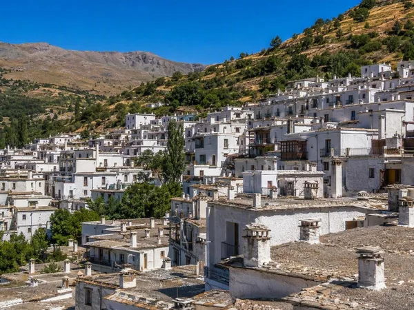
Look closely in the villages. Traditional houses use whitewashed stone walls, flat terraos sealed with local launa clay, and distinctive chimneys. A tinao is a covered passage where a house spans the street. Terraces, channels, lanes and houses are one connected piece of infrastructure.
Respect the system: do not walk in channels, move gates or cut across cultivated terraces. Keep to marked paths where they cross farmland.
Start with the right valley
- Lanjarón and Órgiva: practical western gateways, with more services and access to the lower Alpujarras.
- Poqueira Gorge: Pampaneira, Bubión and Capileira are the classic three-village sequence. Their steep lanes, flat roofs and views over the ravine make this the clearest introduction to the regional building style.
- La Tahá and Pórtugos: a quieter network of small settlements, paths, orchards and water features.
- Trevélez: a high, three-tiered village known for mountain-cured ham and as a starting point for serious high-mountain routes.
Walks and mountain access
The GR-7 crosses the Alpujarras, while old mule paths link villages at a more local scale. The Poqueira circuit between Pampaneira, Bubión and Capileira is a sensible first walk: it combines the gorge, terrace farming and village architecture without committing to the high peaks.
Routes from Trevélez and Capileira toward Sierra Nevada are a different proposition. They involve major ascent, rapidly changing conditions and, in colder months, snow and ice. Treat them as mountain days, not extensions of a village stroll.
Getting around and eating
A car gives the most useful reach between valleys, but mountain roads are slow, narrow and winding. Park in designated village-edge areas and explore the old centres on foot; driving into their tight lanes is rarely worthwhile. Bus links exist from Granada, but they are less useful for combining high villages in one day.
For food, look for plato alpujarreño, typically potatoes, egg and cured meats, or migas. In Trevélez, seek out jamón carrying the protected geographical indication if origin matters to you. Jarapas—bright woven rugs—are a longstanding local craft, especially visible in the Poqueira villages.
From the magazine
Stories about Alpujarras
Editorial stories linked directly to Alpujarras.
Routes from our editors
Travel through Alpujarras
Editorial routes connecting Alpujarras with other countries, cities and hotspots.
No routes through Alpujarras have been published yet.
More in Spain
Related hotspots
Other cities, nature areas and places within Spain.
Manises: City of Ceramics
1 linked stories and routes
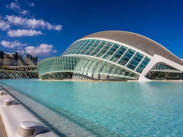
Valencia
1 linked stories and routes
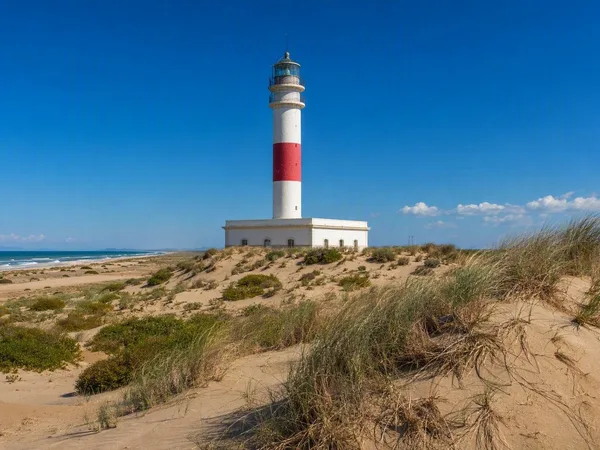
Ebro Delta
1 linked stories and routes
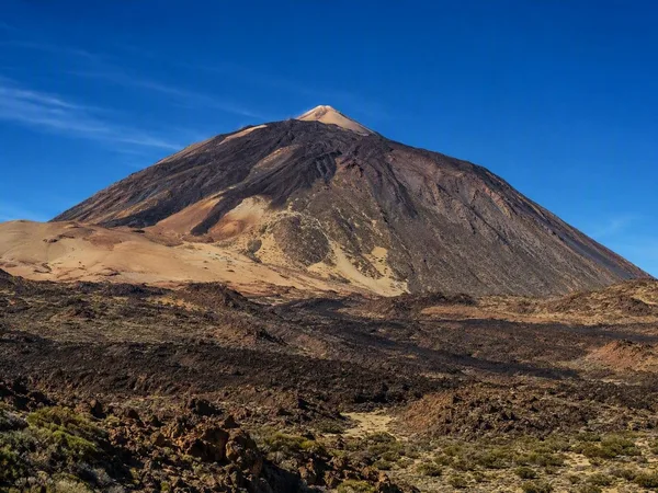
Teide
1 linked stories and routes
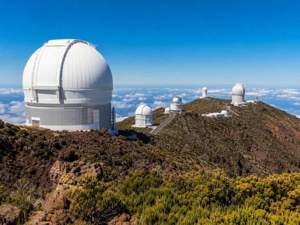
La Palma
1 linked stories and routes
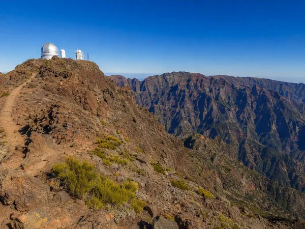
Roque de los Muchachos
1 linked stories and routes
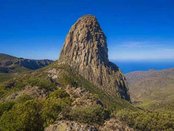
La Gomera
1 linked stories and routes
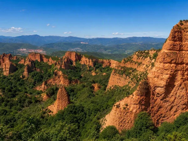
Las Médulas
1 linked stories and routes
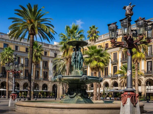
Plaça Reial
1 linked stories and routes
Sierra Nevada
0 linked stories and routes
Trevélez
0 linked stories and routes
Barcelona
0 linked stories and routes