
Mountain · Spain
Roque de los Muchachos
Roque de los Muchachos is La Palma’s 2,426-metre high point, on the rim of Caldera de Taburiente National Park. It combines a short summit walk, sheer caldera views and the telescope domes of the adjacent observatory.
The summit and its setting
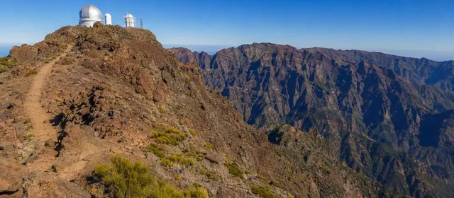
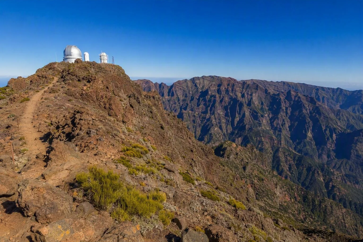
Roque de los Muchachos is the highest point on La Palma, on the northern rim of the Caldera de Taburiente. The mountain rises to 2,426 metres. From the summit area, the ground drops sharply into the vast erosion basin of the caldera; its surrounding ridges form an eight-kilometre-wide mountain amphitheatre.
The observatory complex sits alongside the summit area, while the peak itself remains a mountain and viewpoint rather than an observatory visit. Expect exposed volcanic ground, sparse high-altitude vegetation and very little shelter.
What to do
Start with the signed path from the Roque de los Muchachos car park to Espigón del Roque. This out-and-back route is 600 metres long and takes about an hour with stops. It crosses porous red rock and grey scree to a viewpoint above the Cantos de Turugumay cliffs.
The view is the main event: look down into the caldera’s ravines and rock spurs, then across the summit rim. On clear days, Tenerife, La Gomera and El Hierro are visible beyond La Palma.
For a longer walk, the GR 131 continues along the ridge. The Roque de los Muchachos–Torre del Time route is a serious one-way descent: 9.9 kilometres, typically five to six hours, with 1,360 metres of descent. Arrange transport at the far end before committing.
Observatory and landscape
The nearby Roque de los Muchachos Observatory occupies the edge of the national park at 2,396 metres and contains a major concentration of research telescopes. Its domes are a defining part of the skyline, but access to operational facilities is separate from the public summit paths.
Stay on marked paths around the summit. Restoration plots and fenced areas protect fragile high-mountain plants. Do not climb over fences or approach cliff edges for a better photograph.
Getting there
The practical approach is by car or taxi on the LP-4, which climbs from the Santa Cruz side of the island toward the summit and observatory area. There is no regular bus service to the observatory; do not plan this as a public-transport excursion.
The final roads are high-mountain roads with bends and exposed stretches. Allow more time than the map suggests, especially if cloud reduces visibility.
Conditions and timing
This is a high, exposed mountain rather than a warm coastal stop. Bring water, sun protection and a warm layer in every season. Above 2,000 metres, winter snow and ice are common enough to make paths and roads hazardous; strong wind and fog can also make the ridge unpleasant or unsafe.
Morning or late afternoon gives the clearest relief in the caldera walls. In poor weather, skip the summit walk rather than treating the viewpoint as a routine roadside stop.
From the magazine
Stories about Roque de los Muchachos
Editorial stories linked directly to Roque de los Muchachos.
Routes from our editors
Travel through Roque de los Muchachos
Editorial routes connecting Roque de los Muchachos with other countries, cities and hotspots.
No routes through Roque de los Muchachos have been published yet.
More in Spain
Related hotspots
Other cities, nature areas and places within Spain.
Manises: City of Ceramics
1 linked stories and routes
Valencia
1 linked stories and routes
Alpujarras
1 linked stories and routes
Ebro Delta
1 linked stories and routes
Teide
1 linked stories and routes
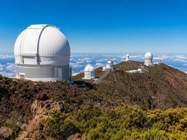
La Palma
1 linked stories and routes
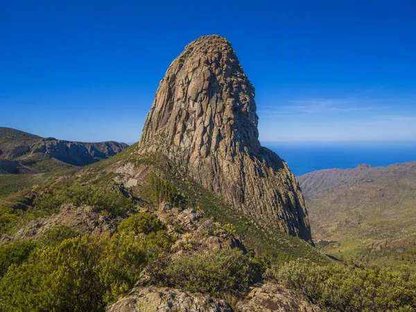
La Gomera
1 linked stories and routes
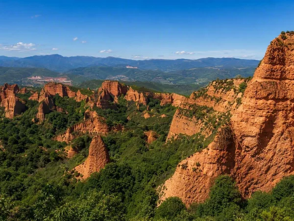
Las Médulas
1 linked stories and routes
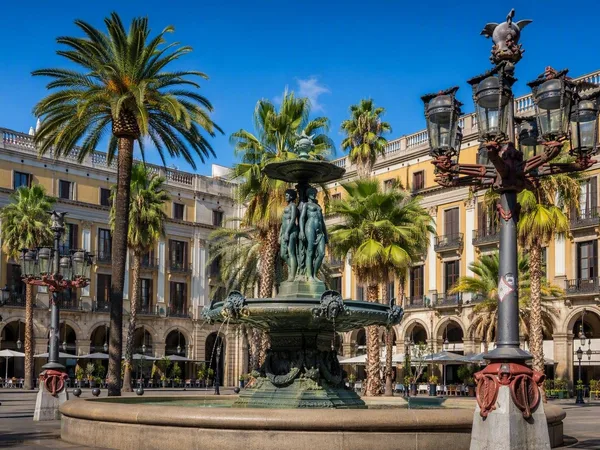
Plaça Reial
1 linked stories and routes
Sierra Nevada
0 linked stories and routes
Trevélez
0 linked stories and routes
Barcelona
0 linked stories and routes