
Island · Spain
La Gomera
La Gomera is a volcanic Canary Island of deep ravines, steep slopes and a humid central highland in Spain’s Atlantic archipelago. Its compact size conceals sharply different north, south and summit landscapes, with Garajonay National Park at its centre.
The island at a glance
La Gomera lies in the western Canary Islands and covers roughly 370 sq km. Its terrain rises to Alto de Garajonay at 1,487 metres, then drops through deep barrancos—ravines—towards an abrupt coast. This is not an island for quick cross-island hops: the roads follow ridges and valleys rather than straight lines.
The central uplands are cooler and often cloudier than the coast. The north is notably wetter and greener; the south is drier. Build that contrast into a day’s plan rather than packing for one uniform climate.
Garajonay and the highlands
Garajonay National Park protects the island’s defining highland landscape: humid laurel forest, heath and volcanic rock formations. Trade-wind cloud keeps the north-facing forest damp, with mosses and ferns thriving under the canopy.
For a short, low-effort introduction, take the La Laguna Grande I loop: 0.9 km, around 30 minutes, with little elevation change. For a more substantial forest walk, the Reventón Oscuro–El Cedro route is 5.8 km and classed medium; it follows a stone-paved track and shares part of its course with road traffic.
Choose routes realistically. Park walks range from short 20-minute circuits to long, high-difficulty rounds of more than six hours. Stay on marked paths: leaving them makes it easy to lose your way. Carry a warm layer even when the coast is sunny, and treat rain, heat and low cloud as serious changes to walking conditions.
Ravines, ridges and villages
The island’s old footpaths reflect a landscape where hamlets, terraces and palm groves were separated by steep ground. From the high roads, look for the radial pattern of ravines cutting down towards places such as Hermigua, Vallehermoso and Valle Gran Rey.
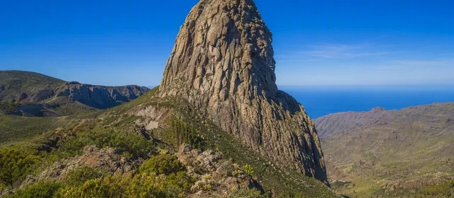
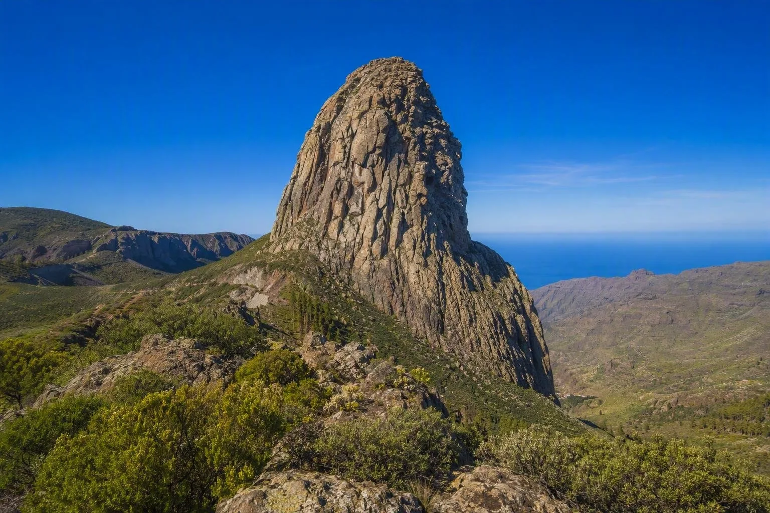
Roque de Agando is the essential geological landmark: a dramatic volcanic plug among the central rock formations. Pair it with the highland forest rather than treating it as a detached roadside stop; together they show the island’s hard volcanic structure and its wetter summit ecology.
Arriving and moving around
The standard sea arrival is San Sebastián de La Gomera. Ferries from Los Cristianos in Tenerife run daily year-round and take about 50 minutes; services take foot passengers and vehicles.
A car is the most efficient way to link trailheads, viewpoints and separate valleys, but allow time for winding, steep roads. Reserve vehicle space when your itinerary depends on it. On foot, base plans around a single valley or the park rather than assuming every trail can be conveniently connected in one day.
Timing a visit
Use clear mornings for exposed viewpoints and ridge walks; reserve the forest for conditions when cloud is part of the experience. In the park, download route material before setting out because mobile coverage is weak on many trails. Closed shoes are appropriate even on the short forest walks.
From the magazine
Stories about La Gomera
Editorial stories linked directly to La Gomera.
Routes from our editors
Travel through La Gomera
Editorial routes connecting La Gomera with other countries, cities and hotspots.
No routes through La Gomera have been published yet.
More in Spain
Related hotspots
Other cities, nature areas and places within Spain.
Manises: City of Ceramics
1 linked stories and routes
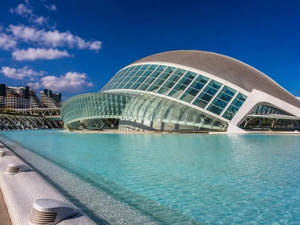
Valencia
1 linked stories and routes
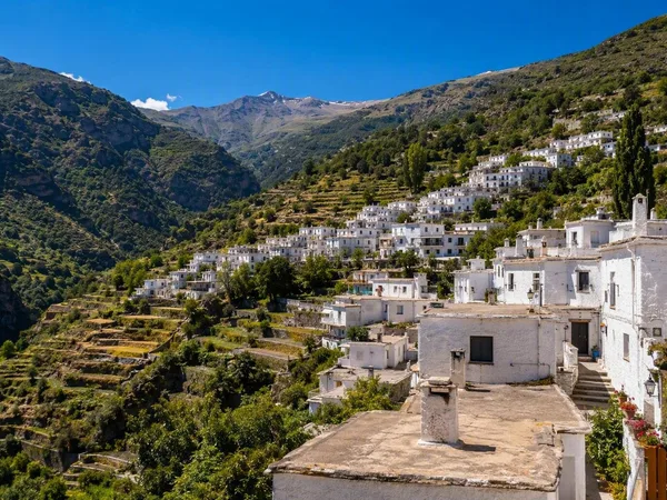
Alpujarras
1 linked stories and routes
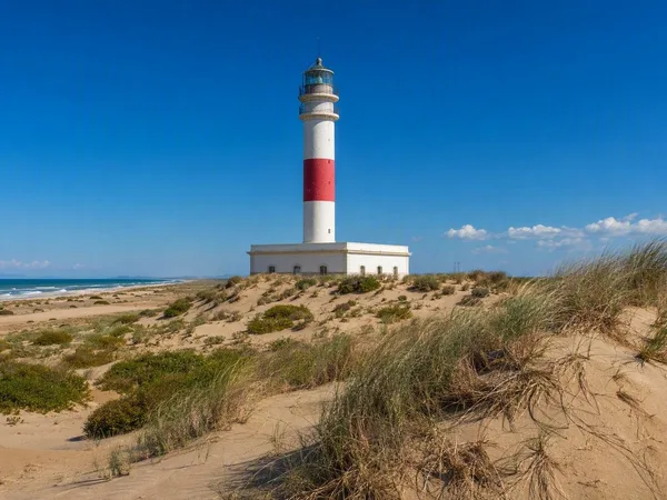
Ebro Delta
1 linked stories and routes
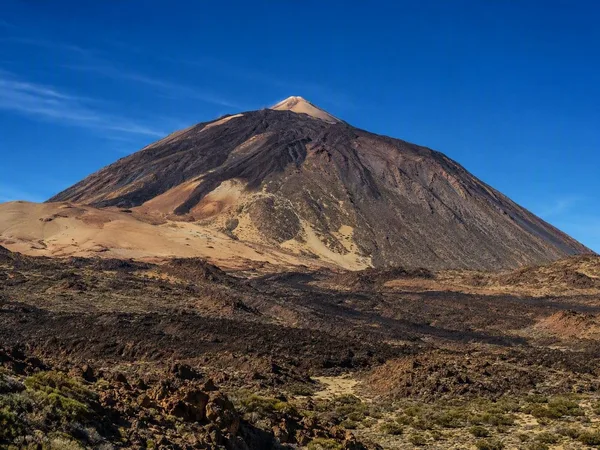
Teide
1 linked stories and routes
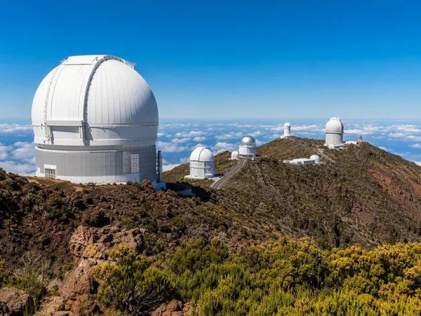
La Palma
1 linked stories and routes
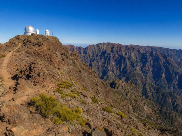
Roque de los Muchachos
1 linked stories and routes
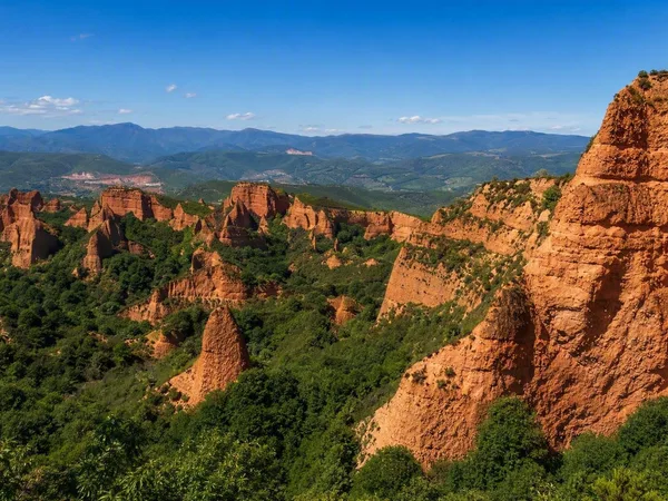
Las Médulas
1 linked stories and routes
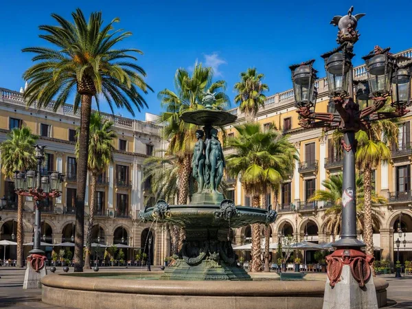
Plaça Reial
1 linked stories and routes
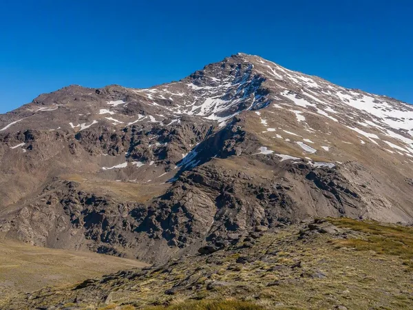
Sierra Nevada
0 linked stories and routes
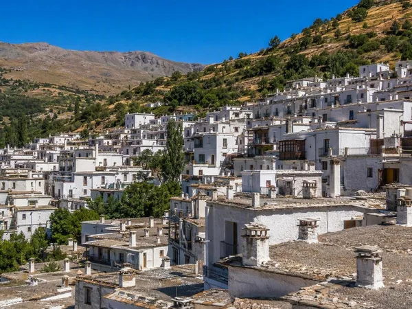
Trevélez
0 linked stories and routes
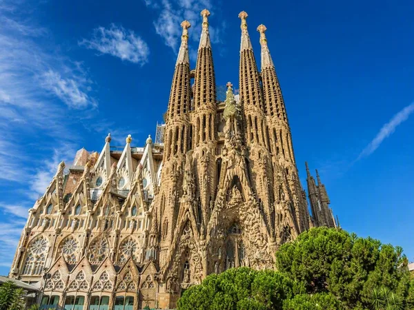
Barcelona
0 linked stories and routes