
Mountain · Spain
Sierra Nevada
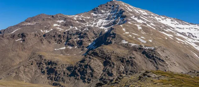
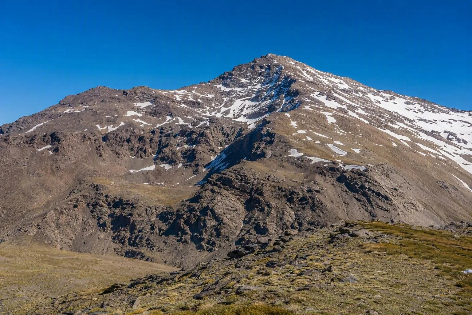
Sierra Nevada is the great high-mountain massif of Andalusia, spanning the provinces of Granada and Almería. Its protected heights contain Mulhacén, the highest summit on the Iberian Peninsula, while its southern foothills lead into the Alpujarra.
The massif at a glance
Sierra Nevada is a large, compact mountain massif in the Penibetic Range of southern Spain. It holds the Iberian Peninsula’s highest peaks: Mulhacén (3,482 m) and Veleta (3,392 m). The national park covers the highest mountain country; the surrounding natural park includes lower slopes, settlements and working landscapes.
This is not one resort or one trailhead. Sierra Nevada stretches from south-east Granada into western Almería, with markedly different approaches: the northern side links to Granada and the Veleta road, while the southern side falls towards the villages of the Alpujarra.
High summits and southern slopes
For high-mountain terrain, the two reference points are Mulhacén and Veleta. Mulhacén is the principal summit objective; Veleta gives a direct sense of the massif’s high plateau, ridges and glacially shaped ground. Valleys and rock shelters at altitude support plants adapted to severe mountain conditions.
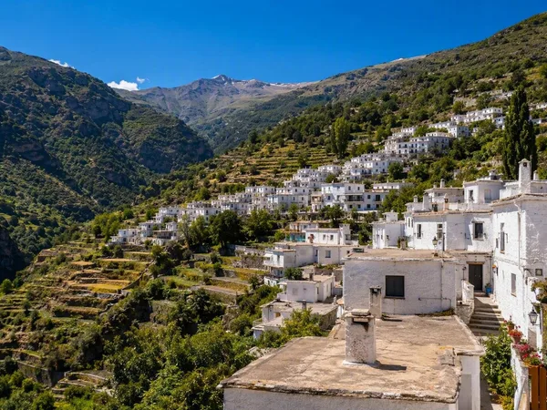
The south side is equally important, but quieter in character. Around the Alpujarra, steep slopes are worked as terraces, orchards and small fields. White villages sit below the high country rather than within the summit zone.
The acequia landscape
Look beyond the peaks and the mountain’s water management becomes visible. Earthen acequias carry snowmelt across the southern slopes. In an acequia de careo, water is deliberately led onto porous ground, where it infiltrates and later reappears lower down through springs and river flow, supporting pasture and cultivation.
These channels are living infrastructure, not abandoned ruins. Keep clear of their banks and water controls, and do not block, alter or enter them. Their routes are part of the agricultural landscape as much as the terraces themselves.
Access and route planning
Choose an approach that matches the day:
- North side: the seasonal high-summit interpretation service runs from Hoya de la Mora to the Posiciones del Veleta area.
- South side: a seasonal guided minibus runs from Capileira via Puerto Molina towards Alto del Chorrillo/Mirador de Trevélez, where several high routes begin.
- Independent exploration: use established paths from mountain villages and allow for long ascents.
The seasonal services can be altered or suspended for weather or safety. Confirm the current route and timetable before relying on them.
Mountain conditions and conduct
At over 3,000 metres, Sierra Nevada is serious mountain terrain even in a Mediterranean setting. Carry water, sun protection, warm and windproof layers, and navigation suitable for open ground. Turn back if cloud, wind or snow makes route-finding uncertain.
Stay on marked paths where provided, take all litter out, and leave plants, rock features and water systems undisturbed. Protection here covers both the high-mountain ecosystems and the cultivated slopes below.
From the magazine
Stories about Sierra Nevada
Editorial stories linked directly to Sierra Nevada.
No stories about Sierra Nevada have been published yet.
Routes from our editors
Travel through Sierra Nevada
Editorial routes connecting Sierra Nevada with other countries, cities and hotspots.
No routes through Sierra Nevada have been published yet.
More in Spain
Related hotspots
Other cities, nature areas and places within Spain.
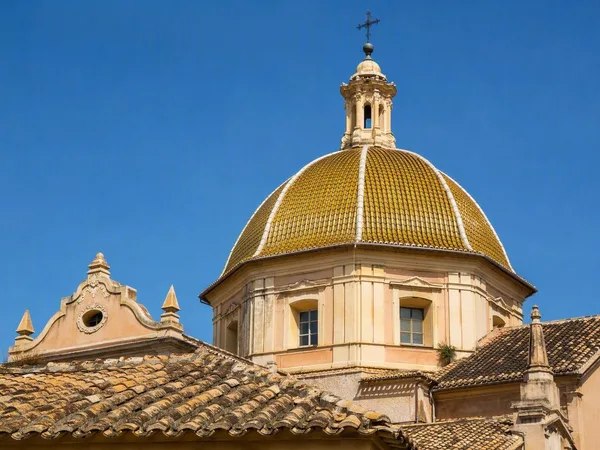
Manises: City of Ceramics
1 linked stories and routes
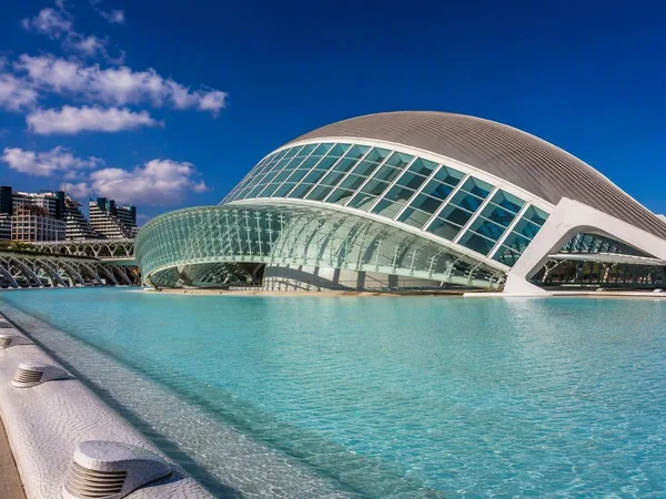
Valencia
1 linked stories and routes
Alpujarras
1 linked stories and routes
Ebro Delta
1 linked stories and routes
Teide
1 linked stories and routes
La Palma
1 linked stories and routes
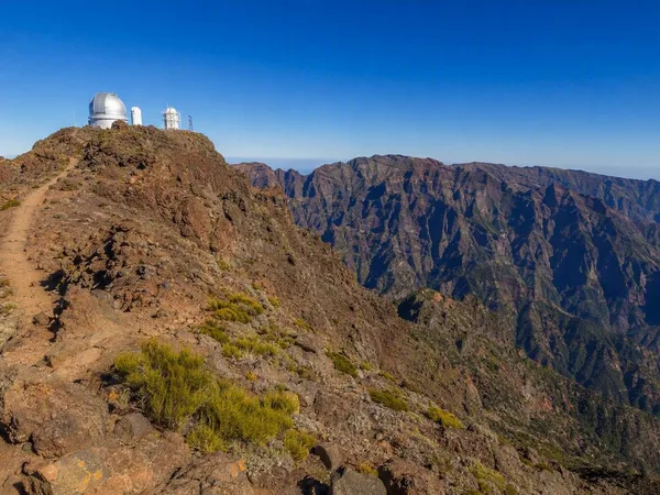
Roque de los Muchachos
1 linked stories and routes
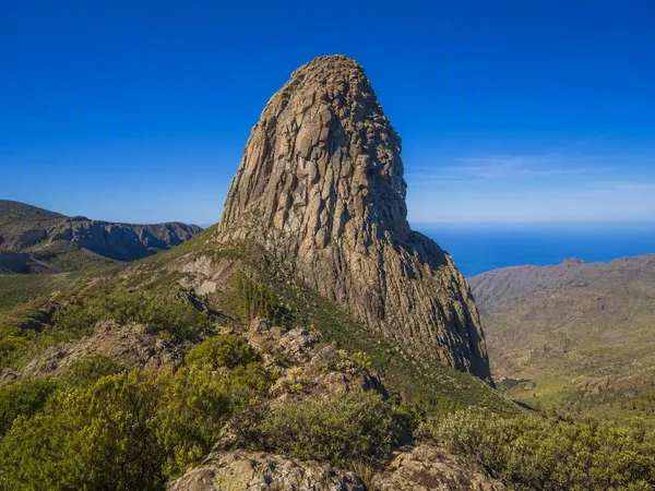
La Gomera
1 linked stories and routes
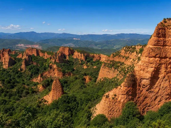
Las Médulas
1 linked stories and routes
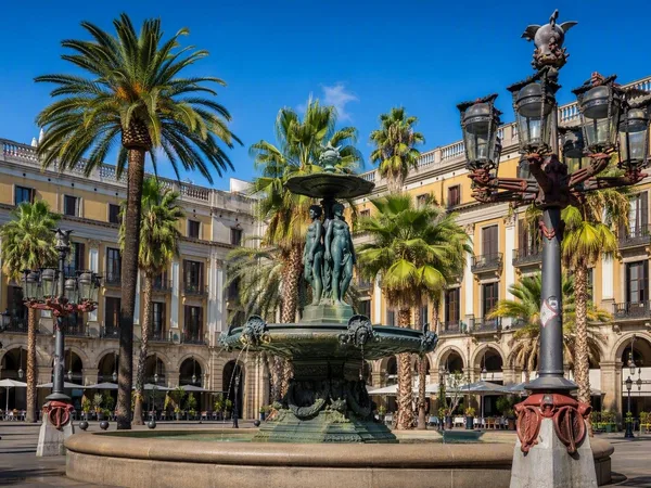
Plaça Reial
1 linked stories and routes
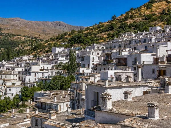
Trevélez
0 linked stories and routes
Barcelona
0 linked stories and routes