
Sight · Norway
Trollstigen
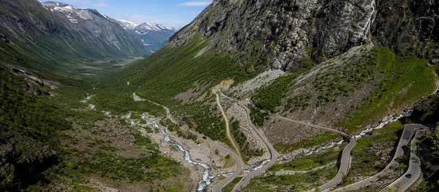
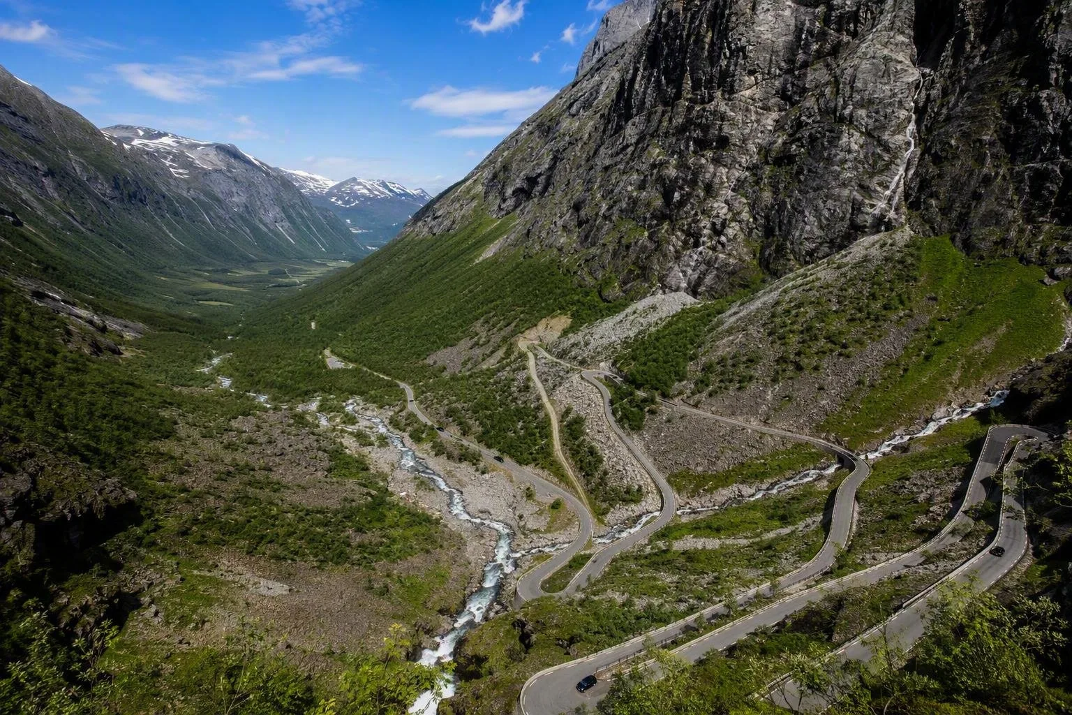
Trollstigen is the steep, eleven-bend section of County Road 63 in Møre og Romsdal, western Norway, linking Isterdalen with the Trollstigen plateau. The road climbs beside Stigfossen and is part of the Geiranger–Trollstigen National Scenic Route.
The road and its setting
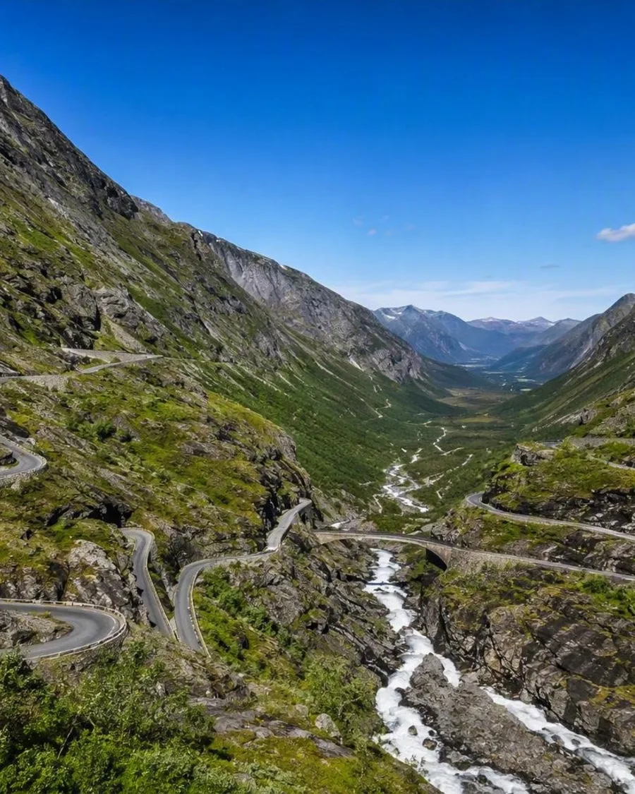
Trollstigen is a mountain-pass road between Åndalsnes/Romsdalen and Valldal in Møre og Romsdal. Its defining stretch rises from Isterdalen through 11 hairpin bends beneath Stigfossen. The road opened in 1936 and forms part of County Road 63 and the 104-kilometre Geiranger–Trollstigen National Scenic Route.
This is a driving destination, not a village or a single stop: the road, waterfall, steep valley walls and plateau viewpoints are the experience.
What to see at the plateau
At the top, Trollstigen plateau sits at about 850 metres above sea level. Park here for the designed paths and steel-and-glass viewing platforms by Reiulf Ramstad Architects.
The main platform projects over the mountainside, around 200 metres above the road and Stigfossen. It gives the clearest overhead view of the bends tracing the slope below. Walk the full network rather than stopping at the first overlook; the platforms frame different views of the waterfall, Isterdalen and the road.
Facilities at the plateau include parking, a café, shop and toilets in the summer season. The paths and viewpoints are only partly wheelchair accessible.
Driving the hairpins
Approach from Åndalsnes via Isterdalen for the classic uphill sequence, or come from Valldal to reach the plateau first. The road is narrow and sharply curved, with designated passing places on constrained sections.
- Keep speeds low and use passing places to let oncoming traffic through.
- Park only in marked parking areas; stopping in the carriageway or on bends obstructs traffic.
- Expect buses, cyclists and queues during the main summer period.
- The road itself is free to drive.
The stone bridge over Stigfossen is partway up the climb. It is best appreciated from the plateau viewpoints; do not stop on the road for photographs.
Season and access
Trollstigen is generally open from around mid-May until autumn snow, but dates vary with snow clearance and mountain conditions. Heavy rain and rockfall risk can close the road at short notice; closures may apply to vehicles, cyclists and pedestrians.
This is a serious constraint rather than a minor inconvenience: access from the Valldal side to the plateau can sometimes remain possible while the hairpin section from Isterdalen is shut. Confirm the live County Road 63 status before committing to a through-drive.
On foot
Kløvstien, the older mountain route, offers a separate way to approach the road from Isterdalen. It follows the slope beside Stigfossen and is a demanding hike; the final approach before the bridge is steep and chain-secured, especially hazardous when wet. Use proper walking footwear and treat it as a mountain hike, not a roadside stroll.
From the magazine
Stories about Trollstigen
Editorial stories linked directly to Trollstigen.
Routes from our editors
Travel through Trollstigen
Editorial routes connecting Trollstigen with other countries, cities and hotspots.
No routes through Trollstigen have been published yet.
More in Norway
Related hotspots
Other cities, nature areas and places within Norway.
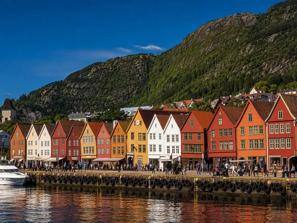
Bergen
2 linked stories and routes
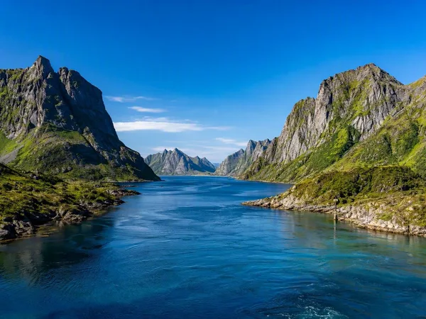
Lofoten
2 linked stories and routes
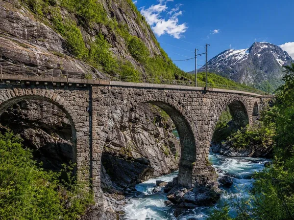
Romsdal, Norway
1 linked stories and routes
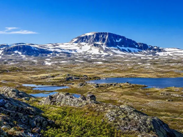
Hardangervidda
1 linked stories and routes
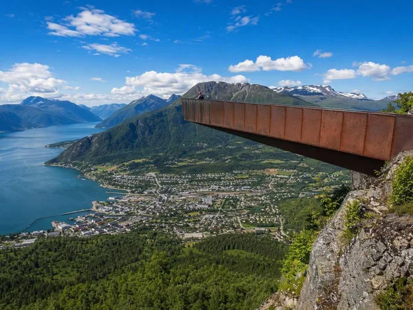
Åndalsnes
1 linked stories and routes
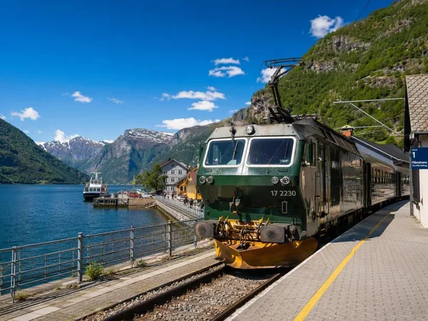
Flåm
1 linked stories and routes
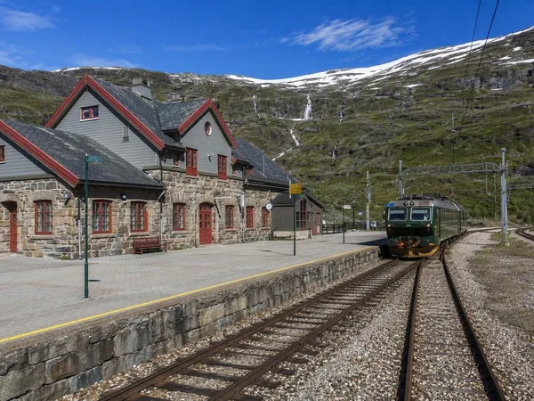
Myrdal
1 linked stories and routes
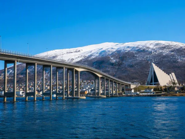
Tromsø
1 linked stories and routes
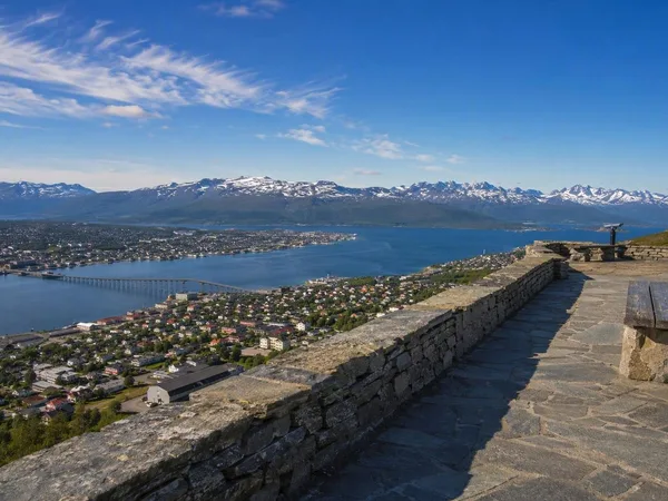
Storsteinen
1 linked stories and routes