
City · Norway
Åndalsnes
Åndalsnes is a small town at the head of Romsdalen, where the Rauma River reaches the Romsdalsfjord in western Norway. It is the rail terminus and practical base for mountain viewpoints, the Rauma Line and the surrounding valleys.
At the fjord’s inner end
Åndalsnes sits at the meeting point of the Romsdalen valley, the Rauma River and the Romsdalsfjord. The compact centre is easy to cover on foot, with the railway station, waterfront, Romsdal Gondola and Norsk Tindesenter close together.
This is a working transport town as much as a mountain base. Use it for a short overnight around a Rauma Line journey, or as a base for routes and hikes in Romsdal.
Go up Nesaksla
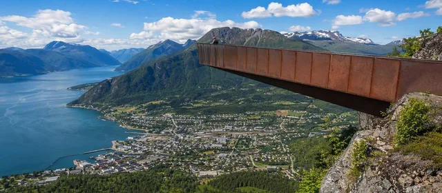
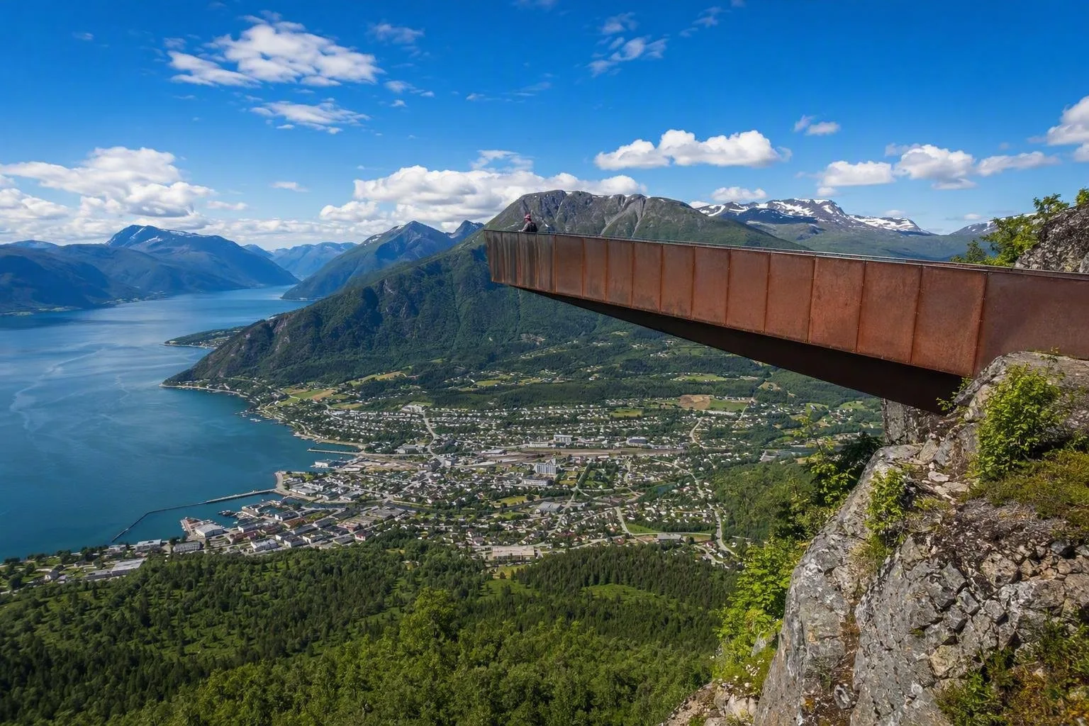
The most direct town-centre ascent is Romsdalstrappa, the marked path and stone stairway towards Nesaksla. Its principal stop is Rampestreken, a steel platform 537 metres above the fjord, looking over Åndalsnes, the valley and surrounding mountains.
- On foot: allow about 1.5 hours uphill from the centre to Rampestreken. The route is steep, with roots, rock and stair sections; sturdy shoes matter, particularly when wet.
- By gondola: take the Romsdal Gondola to Nesaksla, then walk downhill for roughly 15 minutes to Rampestreken. Continue another 15–30 minutes from the platform to the summit area if walking uphill.
- In winter: ice can make the trail unsuitable without traction equipment. The viewpoint platform can also be busy in summer.
Rail and mountain context
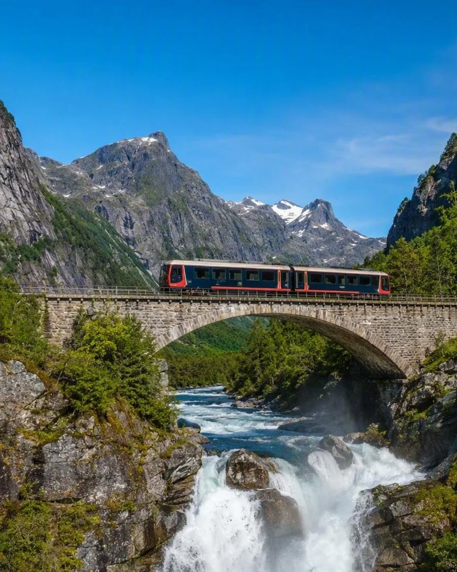
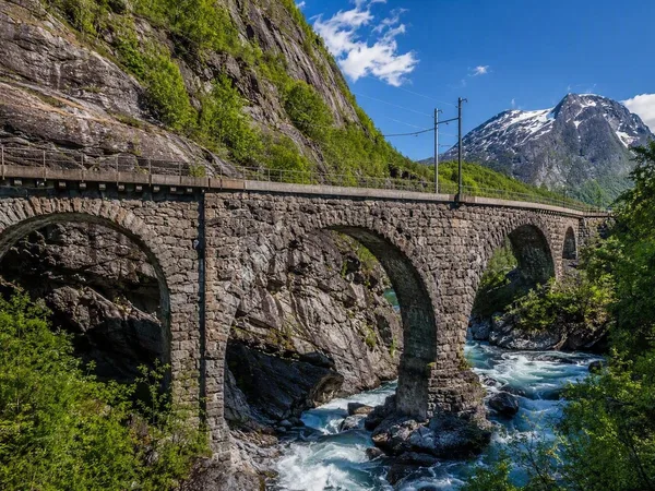
Åndalsnes station is the western terminus of the 115-kilometre Rauma Line from Dombås. The regular passenger journey takes just under 80 minutes and connects at Dombås with trains on the Dovre Line. It runs through Romsdalen past the Rauma River, Trollveggen and the Kylling Bridge area; a separate tourist train operates between Åndalsnes and Bjorli in summer.
In town, Norsk Tindesenter introduces Norway’s mountaineering tradition through interactive exhibits and has a 21-metre indoor climbing wall. It is a useful indoor option when mountain weather closes in.
Getting in and moving on
Arrive by train from Dombås, with onward connections from Oslo and Trondheim. Åndalsnes station also has connecting buses to Molde and Ålesund. By road, E136 links the town with Dombås and Ålesund; county road 64 leads north towards Molde and Kristiansund.
The nearest airport is Molde Airport, about 1.5 hours away by car. For walking trips, start from town where possible; it avoids parking pressure at popular trailheads.
Plan for mountain conditions
Romsdalseggen is a demanding, sometimes exposed ridge hike that finishes via Nesaksla and Romsdalstrappa. It is not a casual extension of Rampestreken. Choose it only with suitable fitness, weather, equipment and daylight.
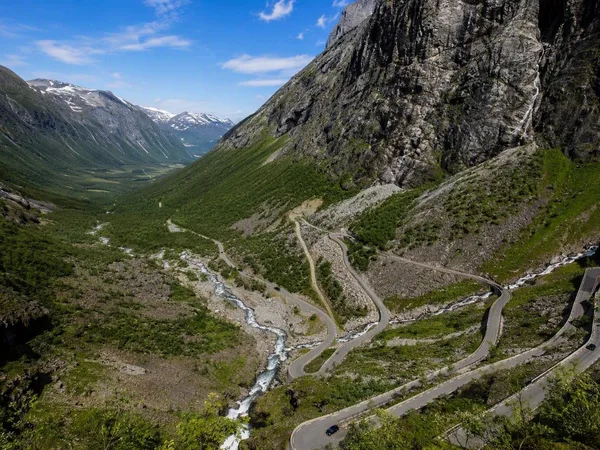
Trollstigen and higher mountain roads can have seasonal or safety closures. Treat Åndalsnes as the base, but confirm road and trail conditions before committing to a day beyond town.
From the magazine
Stories about Åndalsnes
Editorial stories linked directly to Åndalsnes.
Routes from our editors
Travel through Åndalsnes
Editorial routes connecting Åndalsnes with other countries, cities and hotspots.
No routes through Åndalsnes have been published yet.
More in Norway
Related hotspots
Other cities, nature areas and places within Norway.
Bergen
2 linked stories and routes
Lofoten
2 linked stories and routes
Romsdal, Norway
1 linked stories and routes
Hardangervidda
1 linked stories and routes
Flåm
1 linked stories and routes
Myrdal
1 linked stories and routes
Trollstigen
1 linked stories and routes
Tromsø
1 linked stories and routes
Storsteinen
1 linked stories and routes