
Island · Norway
Flakstadøya
Flakstadøya is a mountainous island in western Lofoten, Norway, linked to Vestvågøya by the E10’s subsea Nappstraum Tunnel. Its outer coast combines broad beaches, fishing settlements and steep, glaciated terrain.
Orientation
Flakstadøya is the main island of Flakstad municipality in western Lofoten. The Norwegian Sea meets its northwestern shore; the more sheltered Vestfjorden lies to the southeast. Ramberg, on the E10 near the mouth of Flakstadpollen, is the practical centre for fuel, groceries and everyday services.
The island is compact but sharply divided by mountains and inlets. Flakstadpollen enters from the north, while Skjelfjorden and Nusfjorden cut into the south. Stjerntinden, at 934 metres, is its highest summit.
The outer coast
The E10 makes the northwestern coast unusually accessible. Use the signed stops rather than pulling over on the road.
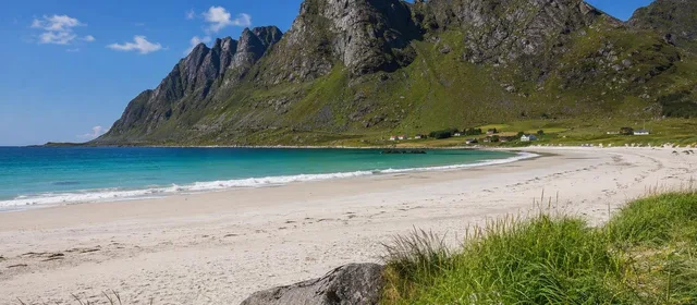
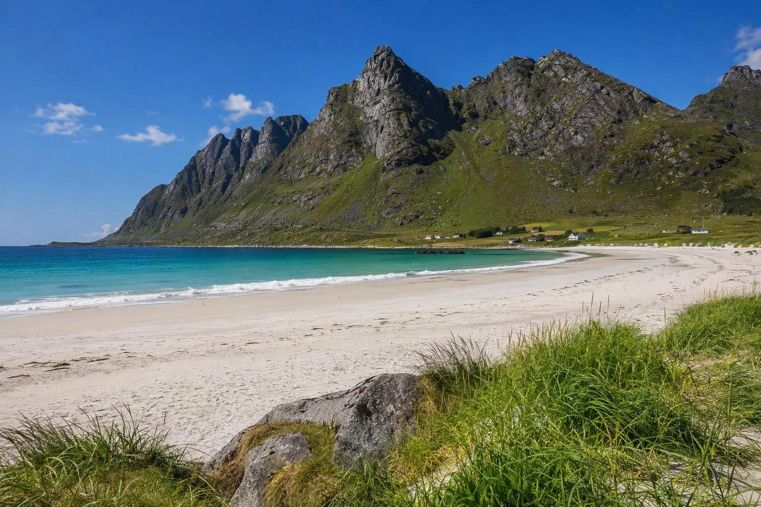
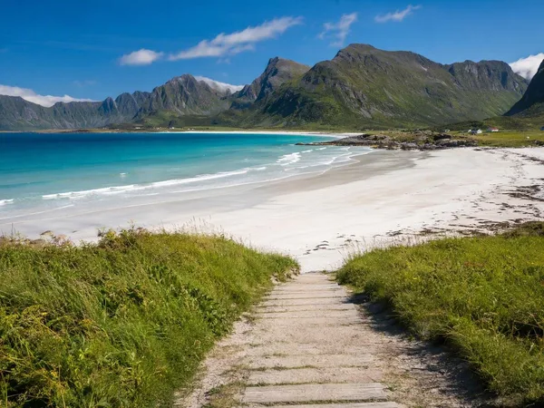
- Rambergstranda: a wide pale-sand beach directly beside Ramberg. The scenic-route rest area has parking, a toilet and a short sleeper-built path down to the shore.
- Skagsanden: east of Ramberg, a broad beach open to the sea and used for surfing. Conditions are exposed and change quickly; treat it as a cold-water coast, not a sheltered swimming beach.
- Flakstad and Vikten: take the local roads off the E10 for Flakstad Church and Vikten’s rocky shoreline. Vikten is also home to a working glass studio.
The coast faces north and west, so wind can be a defining part of a stop even in summer.
Fishing settlements and inland fjords
Nusfjord, on the southern side of the island, is a preserved nineteenth-century fishing village with protected historic buildings. Leave the E10 between Napp and Ramberg and follow the six-kilometre approach road. Its tight harbour, rorbuer and working waterfront make it a focused cultural stop rather than a detour for a beach.
Sund occupies the southwest side of the island; Napp sits by Nappstraumen at the northeastern end. Together with Ramberg, these settlements show the island’s continuing fishing-based character. Keep driving slow on local roads: they are narrow, shared with residents and often lack room for casual stopping.
Getting there and moving around
The E10 crosses Flakstadøya. From Vestvågøya it enters through the 1.78-kilometre Nappstraum Tunnel; bridges over Sundstraumen connect onward toward Moskenesøya. A car is the most direct way to reach beaches, villages and side roads.
Tunnel upgrades are scheduled through December 2027. Traffic may be controlled in convoys by day and restricted overnight; walking and cycling through the tunnel are prohibited during the works. Cyclists can use the Nusfjord–Ballstad cycle ferry or arrange other transport. On the wider scenic route, summer traffic can be heavy, so leave time between short map distances.
When to go
Summer gives long daylight and straightforward road access, while the outer beaches remain wind-exposed. In darker months, the north-facing beaches offer open skies, but conditions and road travel demand more flexibility. Bring windproof layers for every season and use marked parking areas; roadside verges and passing places are not viewpoints.
From the magazine
Stories about Flakstadøya
Editorial stories linked directly to Flakstadøya.
No stories about Flakstadøya have been published yet.
Routes from our editors
Travel through Flakstadøya
Editorial routes connecting Flakstadøya with other countries, cities and hotspots.
No routes through Flakstadøya have been published yet.
More in Norway
Related hotspots
Other cities, nature areas and places within Norway.
Lofoten
3 linked stories and routes
Bergen
2 linked stories and routes
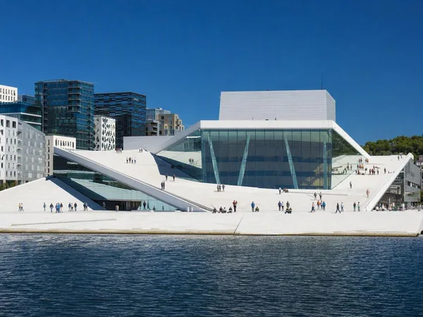
Oslo
2 linked stories and routes
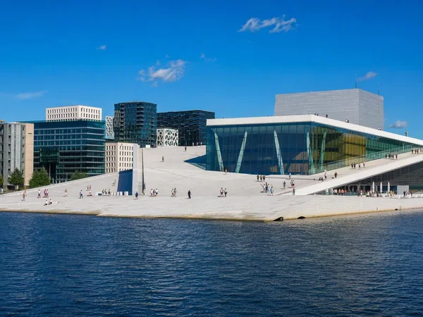
Bjørvika
2 linked stories and routes
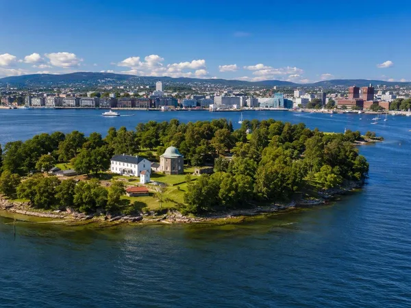
Oslofjord
2 linked stories and routes
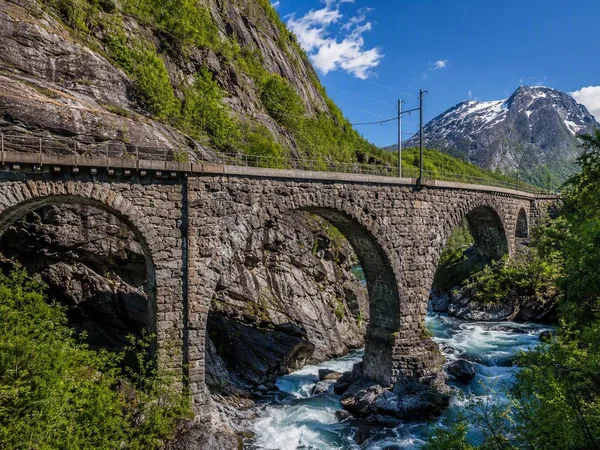
Romsdal, Norway
1 linked stories and routes
Hardangervidda
1 linked stories and routes
Åndalsnes
1 linked stories and routes
Flåm
1 linked stories and routes
Myrdal
1 linked stories and routes
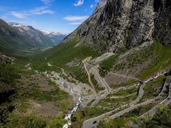
Trollstigen
1 linked stories and routes
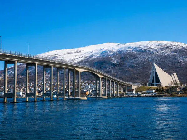
Tromsø
1 linked stories and routes
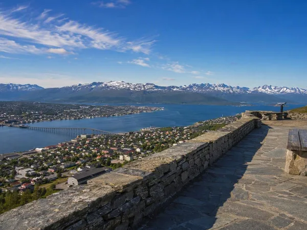
Storsteinen
1 linked stories and routes
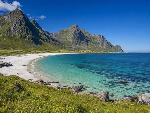
Vestvågøya
1 linked stories and routes
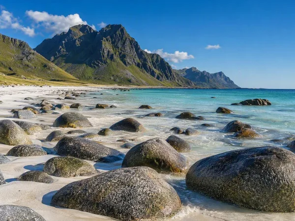
Uttakleiv Beach
1 linked stories and routes
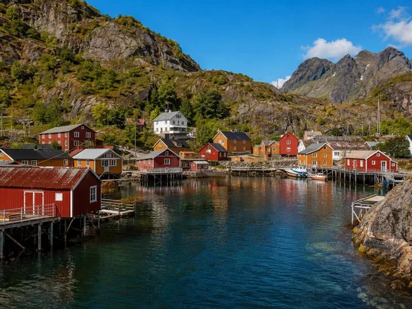
Nusfjord
1 linked stories and routes
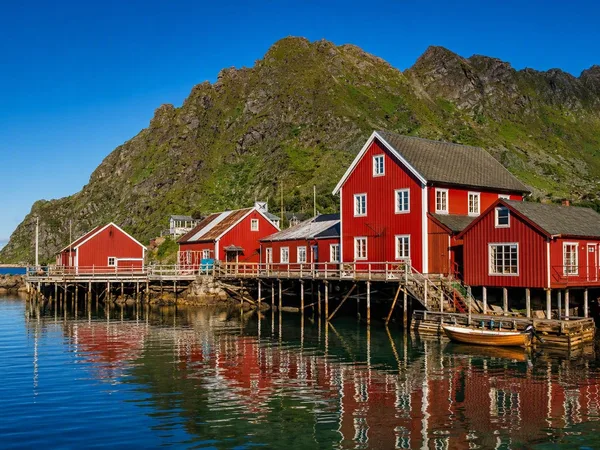
Å i Lofoten
1 linked stories and routes
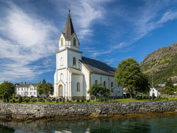
Kabelvåg
1 linked stories and routes
Gimsøya
1 linked stories and routes
Haukland Beach
1 linked stories and routes
Leknes
1 linked stories and routes
Svolvær
1 linked stories and routes
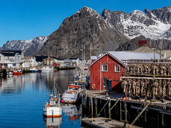
Henningsvær
1 linked stories and routes
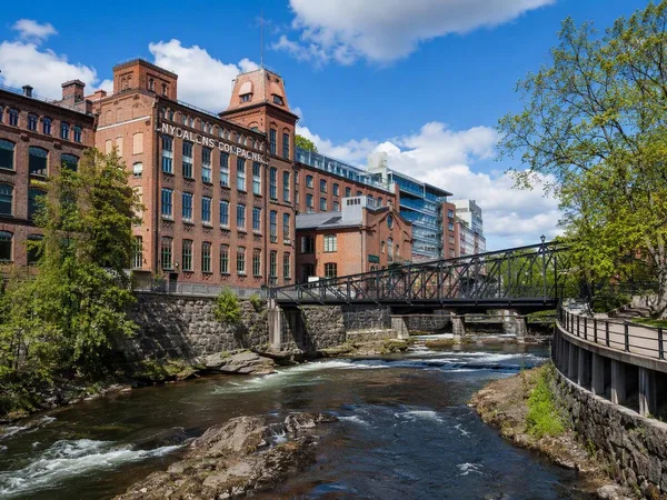
Nydalen
1 linked stories and routes
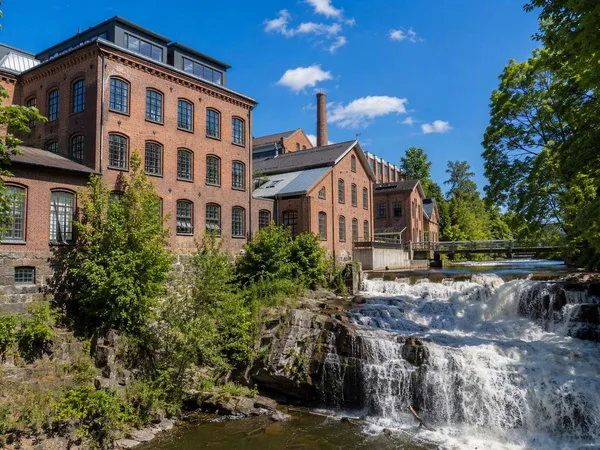
Sagene, Oslo
1 linked stories and routes
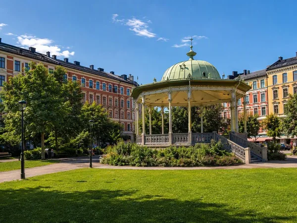
Grünerløkka
1 linked stories and routes
Akerselva
1 linked stories and routes
Maridalsvannet
1 linked stories and routes
Rambergstranda
0 linked stories and routes
Hamnøy
0 linked stories and routes
Sakrisøy
0 linked stories and routes
Reine
0 linked stories and routes
Moskenesøya
0 linked stories and routes
Sørvågen
0 linked stories and routes
Moskenes
0 linked stories and routes