
Nature area · Norway
Akerselva
Akerselva is Oslo’s 9.8-kilometre river corridor, running from Maridalsvannet to Bjørvika. Its riverside path links woodland, waterfalls and the brick-built remains of the city’s industrial growth.
The river through Oslo
Akerselva drops 149 metres from Maridalsvannet in northern Oslo to Bjørvika on the Oslofjord. The river itself is 9.8 kilometres long; the signed riverside walk from Maridalsvannet to Vaterland is roughly eight kilometres. Walk north to south to keep the descent gentle and see the city change from wooded banks to dense streets.
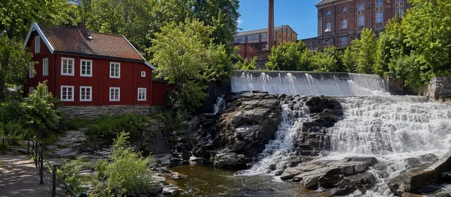
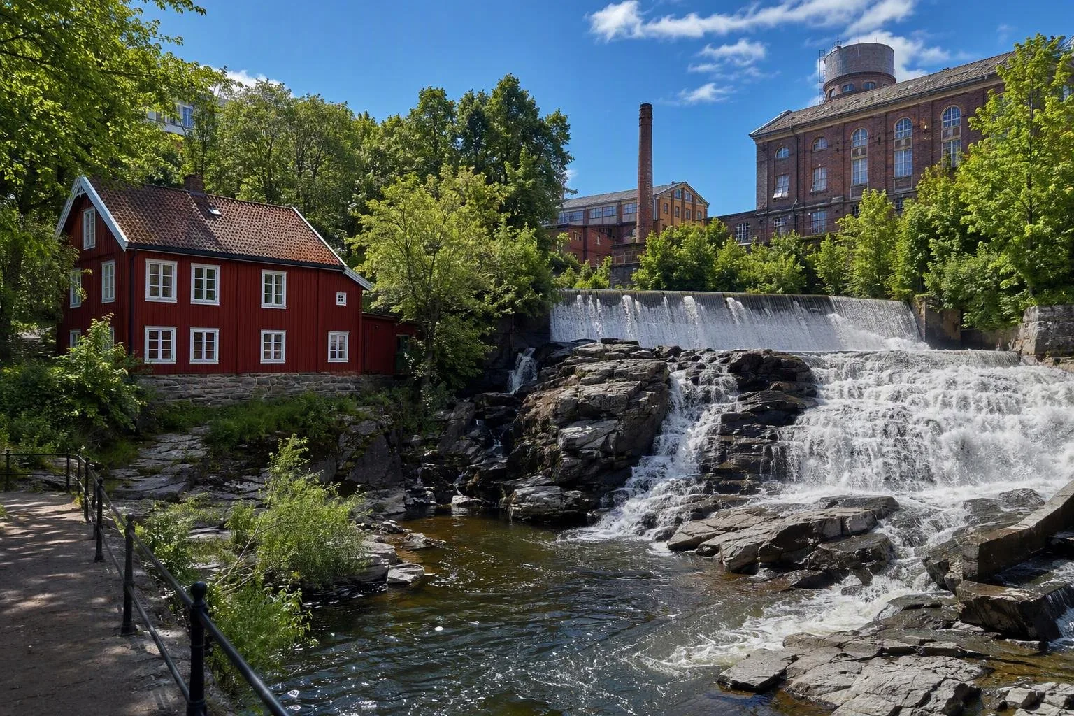
The falls supplied mills, saws and factories for centuries. More than 20 waterfalls punctuate the route, and their power made this corridor central to Oslo’s 19th-century industrialisation.
Choose a stretch
Upper river — Maridalsvannet to Nydalen. Start near Frysja for the quietest section: trees, small falls and Brekkedammen. This is the place for a shorter nature-focused walk.
Industrial core — Nydalen to Vulkan. Old factory complexes, bridges and falls become the main event. At Bjørlsen, the river’s falls show why industry gathered here; farther south, the former mill and factory buildings around Sagene and Grünerløkka now hold workplaces, cultural venues and cafés.
Lower river — Vulkan to Vaterland. This is the compact urban section, passing Mathallen at Vulkan, the riverside venues near Brenneriveien and Ankerbrua. Look closely at Ankerbrua’s sculptures, based on Norwegian folktale figures.
Key stops
- Nedre Vøyenfossen and Hønse-Lovisas hus: a strong pairing of waterfall, industrial setting and a small red wooden house.
- Aamot bru: a historic chain suspension bridge with wooden decking.
- Vulkan: former ironworks and engineering buildings reused for food, dance and other everyday city functions.
- Ankerbrua: the point where the route enters central Oslo more decisively.
The river is not a museum strip: the value lies in reading the old brick mills, workers’ neighbourhoods, parks and newer development together.
Route and transport
For the full downhill walk, begin near Maridalsvannet or Frysja; bus 54 serves the northern approach. Nydalen metro station is the most convenient starting point for the middle section. The route is easy to divide: Nydalen, Sagene and Vulkan all make practical start or finish points.
Allow two to three hours to walk Maridalsvannet–Vaterland without long stops. The southern end is close to Grønland and Oslo Central Station. Wear shoes suited to mixed paving, gravel and occasional wet ground around the falls.
The final section
At Vaterlandsparken, the visible river enters the 430-metre Akerselva culvert beneath the rail and road corridor. It is not a pedestrian continuation. The river reappears at Bjørvika by the fjord; reach that waterfront on foot around the rail area rather than trying to follow the water underground.
Brekkedammen at Frysja is a designated bathing spot. Avoid swimming for a day after heavy rain, when water quality can be affected.
From the magazine
Stories about Akerselva
Editorial stories linked directly to Akerselva.
No stories about Akerselva have been published yet.
Routes from our editors
Travel through Akerselva
Editorial routes connecting Akerselva with other countries, cities and hotspots.
No routes through Akerselva have been published yet.
More in Norway
Related hotspots
Other cities, nature areas and places within Norway.
Lofoten
3 linked stories and routes
Bergen
2 linked stories and routes
Oslo
2 linked stories and routes
Bjørvika
2 linked stories and routes
Oslofjord
2 linked stories and routes
Romsdal, Norway
1 linked stories and routes
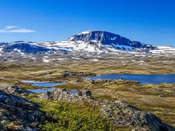
Hardangervidda
1 linked stories and routes
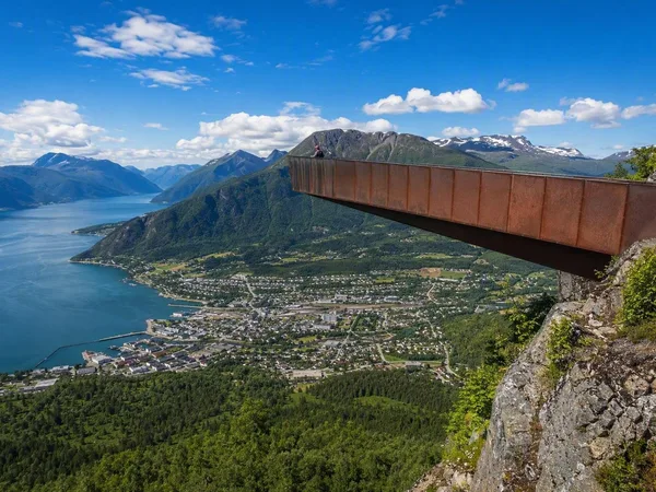
Åndalsnes
1 linked stories and routes
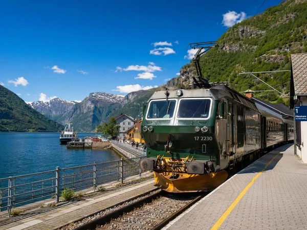
Flåm
1 linked stories and routes
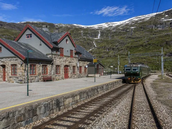
Myrdal
1 linked stories and routes
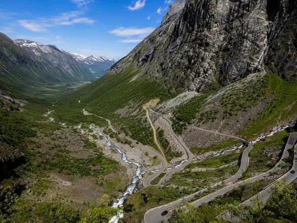
Trollstigen
1 linked stories and routes
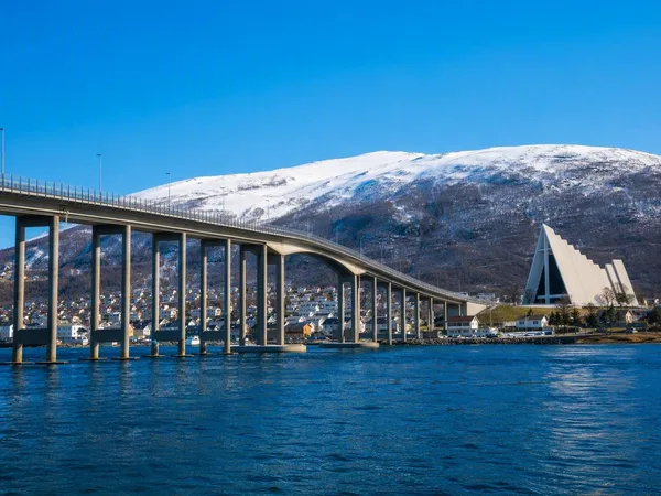
Tromsø
1 linked stories and routes
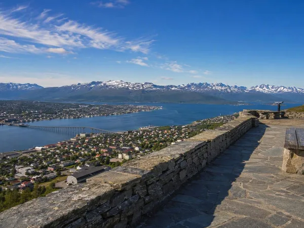
Storsteinen
1 linked stories and routes
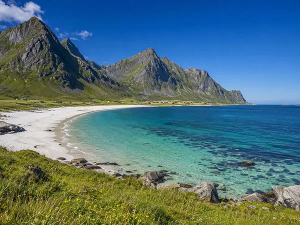
Vestvågøya
1 linked stories and routes
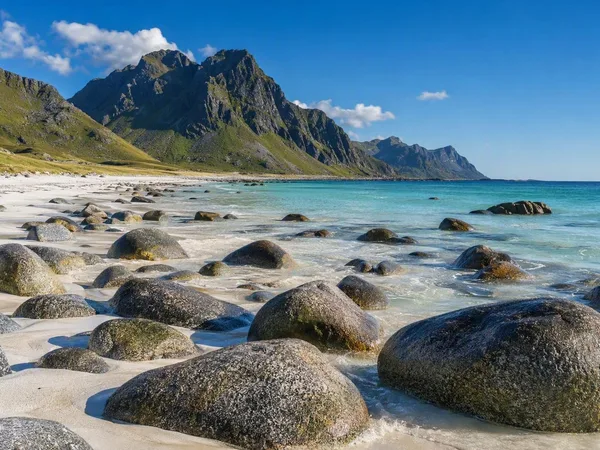
Uttakleiv Beach
1 linked stories and routes
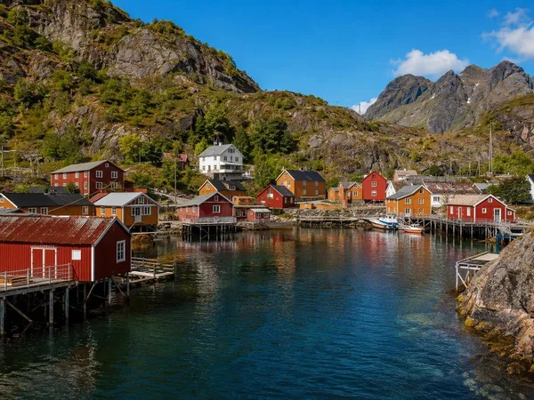
Nusfjord
1 linked stories and routes
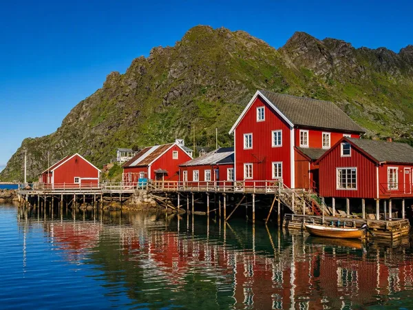
Å i Lofoten
1 linked stories and routes
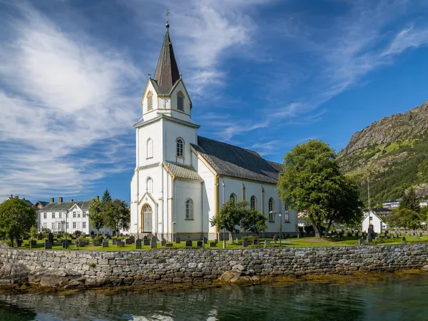
Kabelvåg
1 linked stories and routes
Gimsøya
1 linked stories and routes
Haukland Beach
1 linked stories and routes
Leknes
1 linked stories and routes
Flakstadøya
1 linked stories and routes
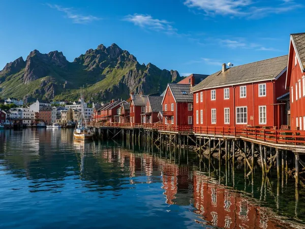
Svolvær
1 linked stories and routes
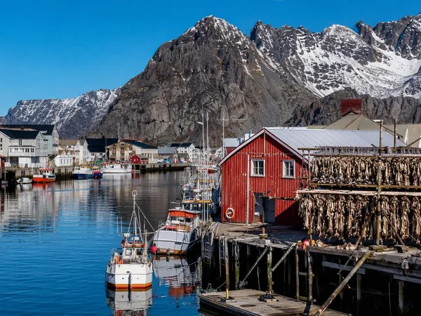
Henningsvær
1 linked stories and routes
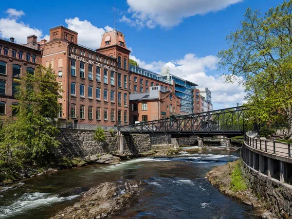
Nydalen
1 linked stories and routes
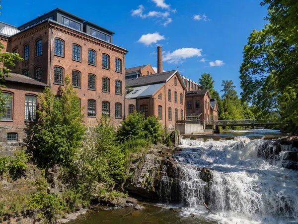
Sagene, Oslo
1 linked stories and routes
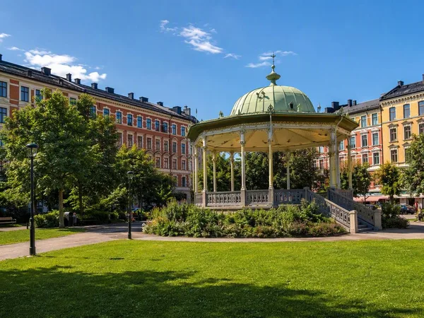
Grünerløkka
1 linked stories and routes
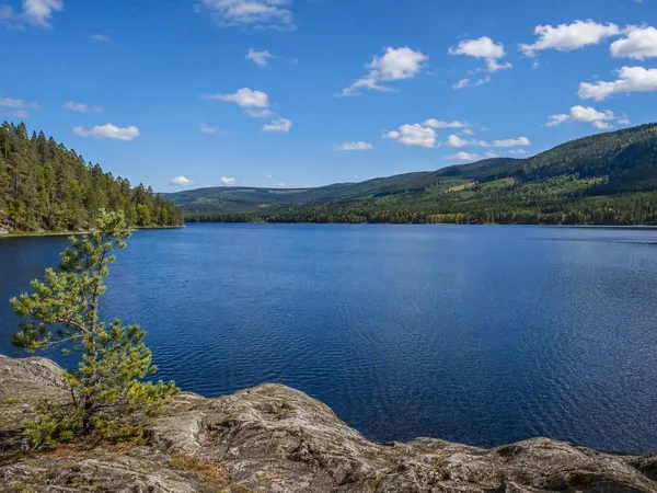
Maridalsvannet
1 linked stories and routes
Rambergstranda
0 linked stories and routes
Hamnøy
0 linked stories and routes
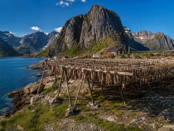
Sakrisøy
0 linked stories and routes
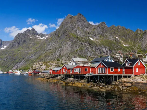
Reine
0 linked stories and routes
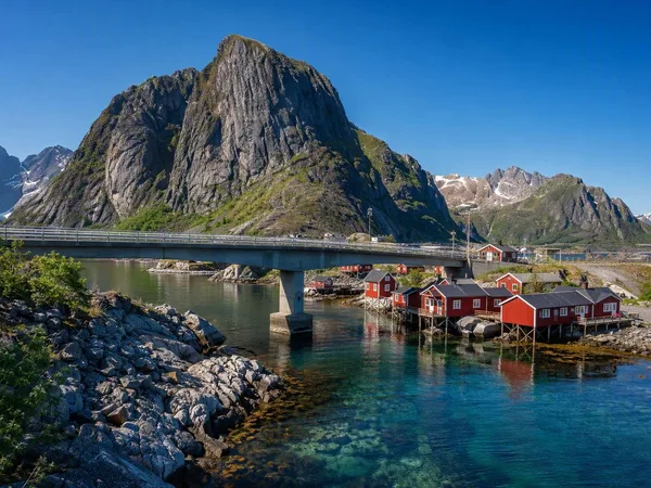
Moskenesøya
0 linked stories and routes
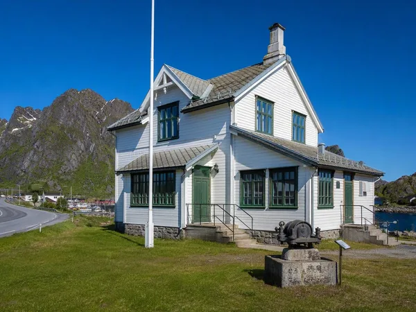
Sørvågen
0 linked stories and routes
Moskenes
0 linked stories and routes