
Island · Norway
Vestvågøya
Vestvågøya is the large, inhabited island at the centre of Lofoten, Norway, linked by the E10 to Gimsøya in the northeast and Flakstadøya in the southwest. It combines farming lowlands, working fishing settlements, Viking archaeology and an exposed coast of beaches and mountains.
Island at a glance
Vestvågøya is Lofoten in a compact cross-section: a broad, cultivated interior set between sharp coastal mountains and deeply cut bays. The island covers about 411 square kilometres and holds Leknes, the main service town, alongside the fishing communities of Ballstad and Stamsund.
The E10 is the practical spine. It crosses the island, reaching Gimsøya over the Sundklakkstraumen bridge and Flakstadøya through the Nappstraum Tunnel. Use Leknes as the point for supplies, transport connections and a sensible base for exploring both coasts.
The north and outer coast
The northern side is where the landscape tightens into mountains and open-sea beaches.
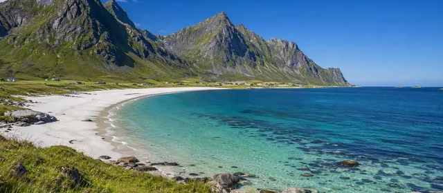
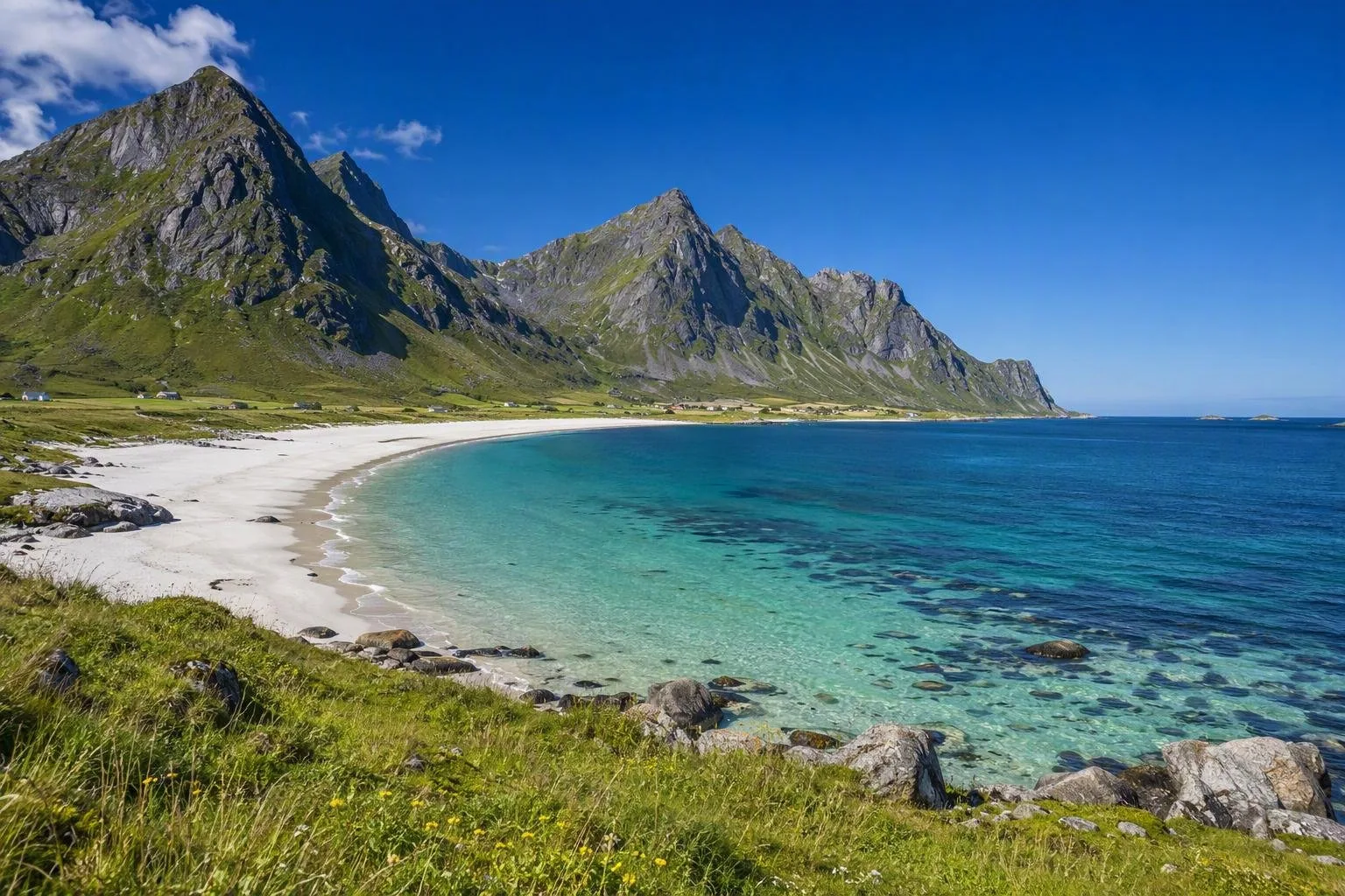
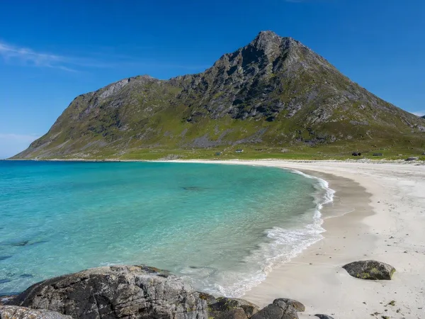
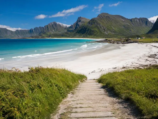
- Haukland Beach: A wide strip of white sand backed by steep slopes, about 10 minutes by road from Leknes. Marked paths and a sizeable car park make this the straightforward beach stop.
- Uttakleiv: Nearby but more exposed, with sand broken by large rounded boulders. The old road around the headland links it to Haukland on foot.
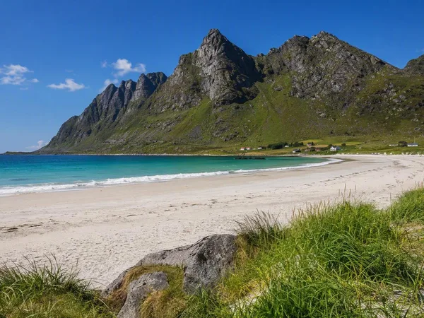
- Unstad: A wave-exposed beach on the north coast, known for surfing rather than sheltered swimming.
- Eggum: A useful north-coast stop for its shore, open horizon and remains of a wartime installation.
Treat the beaches as coastal terrain, not warm-water resorts. Wind and sea conditions can change the character of a stop quickly.
Settlements and Viking-era Borg
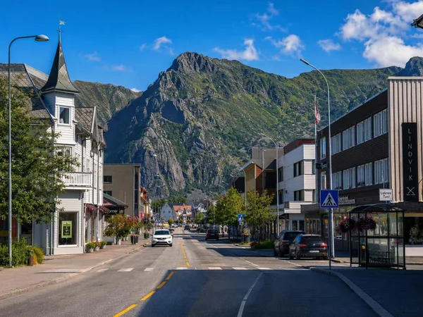
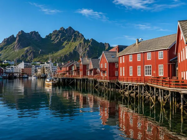
Leknes and neighbouring Gravdal form the island’s practical centre. South of them, Ballstad and Stamsund remain fishing communities, with harbours, fish-processing activity and rorbuer along the water.
At Borg, the Lofotr Viking Museum stands on the site of a Viking-age chieftain’s seat. Its reconstructed longhouse is the world’s longest reconstructed example. The museum gives the island’s agricultural landscape a historical frame: this was a place of power and long-distance contacts, not simply a remote fishing outpost.
Getting around
A car gives the greatest reach: beach roads, trailheads and small coastal settlements sit well away from the E10. Buses connect the main settlements, but are less useful for piecing together the outer coast.
The E10 is scenic but not fast. Allow extra time for narrow sections, weather and stops. The Nappstraum Tunnel is undergoing safety upgrades, with managed traffic and closures possible through 2027; build flexibility into westbound or eastbound drives.
Timing and access
Summer brings long daylight and the midnight sun; exposed west- and north-facing shores are good places to see it. Winter provides dark hours for northern lights, but driving conditions and weather become more demanding.
Use designated parking at Haukland and Uttakleiv, where charges help maintain facilities and the landscape. At Uttakleiv, park only in the managed area; the surrounding community and grazing land are part of a working cultural landscape.
From the magazine
Stories about Vestvågøya
Editorial stories linked directly to Vestvågøya.
No stories about Vestvågøya have been published yet.
Routes from our editors
Travel through Vestvågøya
Editorial routes connecting Vestvågøya with other countries, cities and hotspots.
No routes through Vestvågøya have been published yet.
More in Norway
Related hotspots
Other cities, nature areas and places within Norway.
Lofoten
3 linked stories and routes
Bergen
2 linked stories and routes
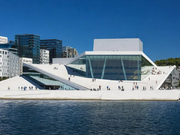
Oslo
2 linked stories and routes
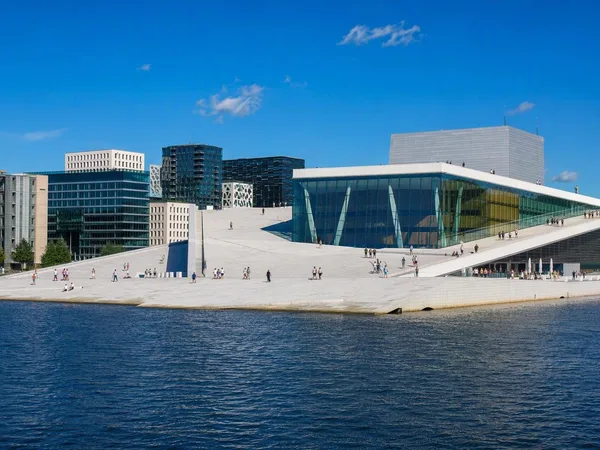
Bjørvika
2 linked stories and routes
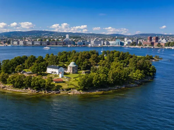
Oslofjord
2 linked stories and routes
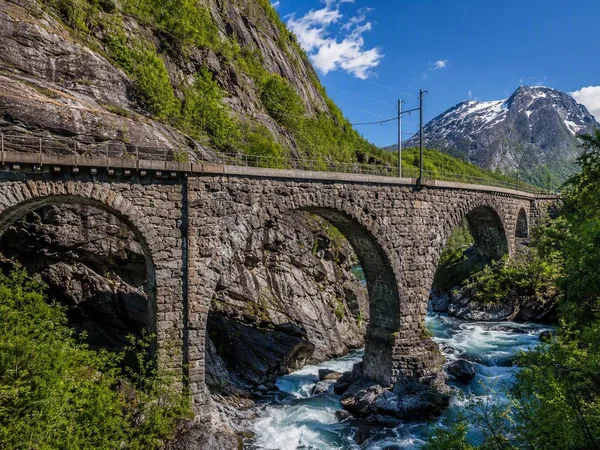
Romsdal, Norway
1 linked stories and routes
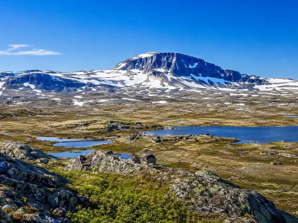
Hardangervidda
1 linked stories and routes
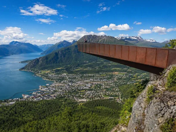
Åndalsnes
1 linked stories and routes
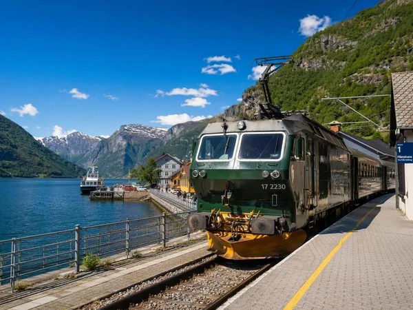
Flåm
1 linked stories and routes
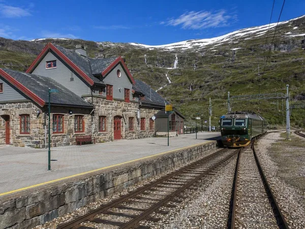
Myrdal
1 linked stories and routes
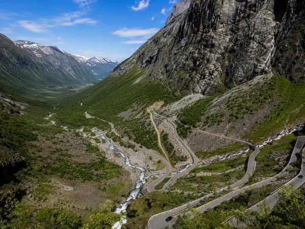
Trollstigen
1 linked stories and routes
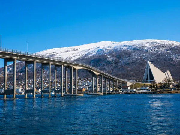
Tromsø
1 linked stories and routes
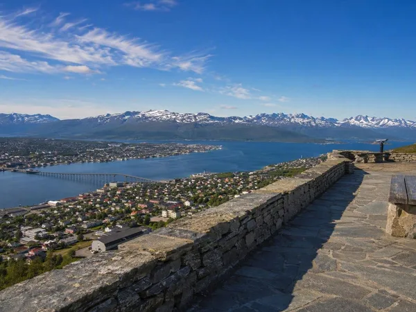
Storsteinen
1 linked stories and routes
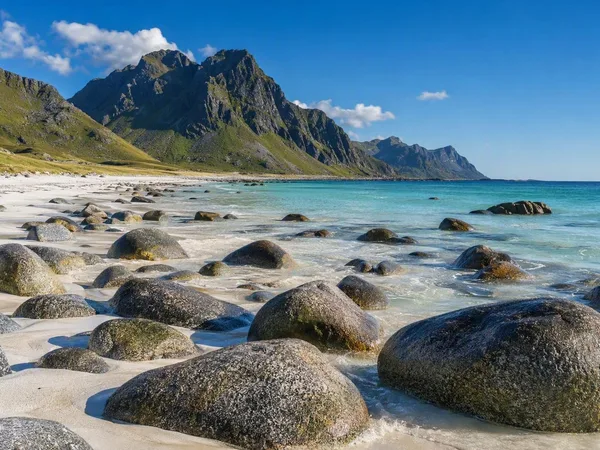
Uttakleiv Beach
1 linked stories and routes
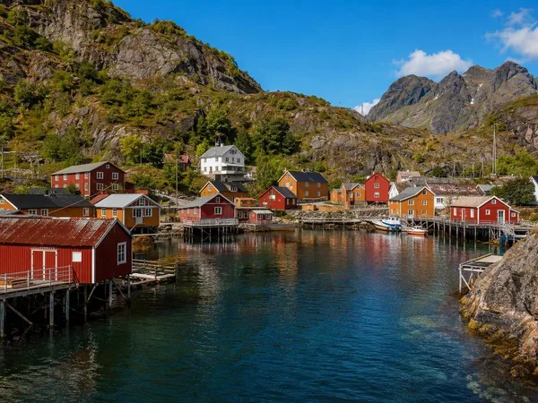
Nusfjord
1 linked stories and routes
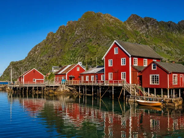
Å i Lofoten
1 linked stories and routes
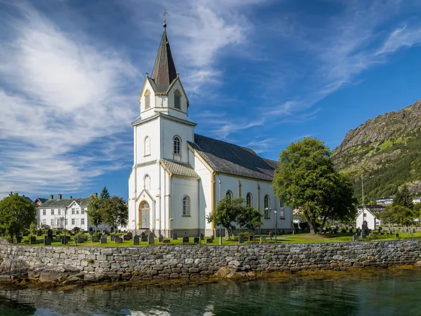
Kabelvåg
1 linked stories and routes
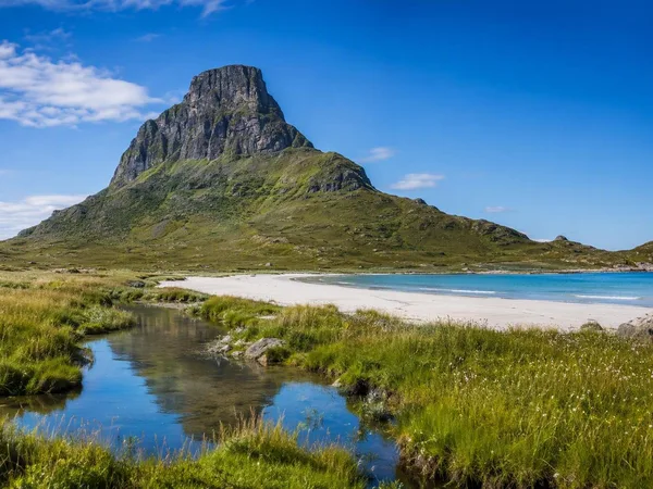
Gimsøya
1 linked stories and routes
Haukland Beach
1 linked stories and routes
Leknes
1 linked stories and routes
Flakstadøya
1 linked stories and routes
Svolvær
1 linked stories and routes
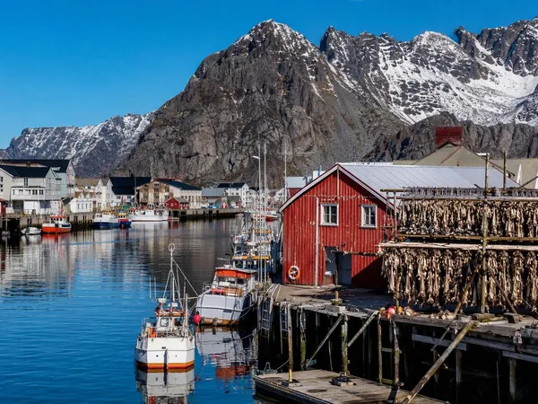
Henningsvær
1 linked stories and routes
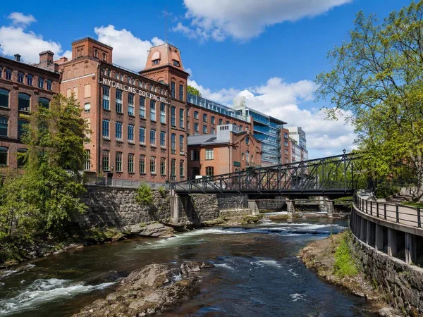
Nydalen
1 linked stories and routes
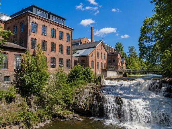
Sagene, Oslo
1 linked stories and routes
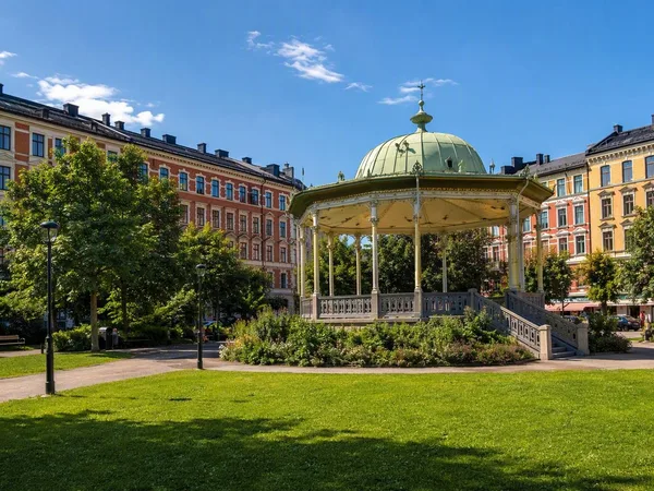
Grünerløkka
1 linked stories and routes
Akerselva
1 linked stories and routes
Maridalsvannet
1 linked stories and routes
Rambergstranda
0 linked stories and routes
Hamnøy
0 linked stories and routes
Sakrisøy
0 linked stories and routes
Reine
0 linked stories and routes
Moskenesøya
0 linked stories and routes
Sørvågen
0 linked stories and routes
Moskenes
0 linked stories and routes