
Nature area · Norway
Hardangervidda
Hardangervidda is Northern Europe’s largest high-mountain plateau, spanning Vestland, Telemark and Buskerud in southern Norway. Its open moorland, lakes and long-distance routes form the high point of the Oslo–Bergen corridor.
The plateau
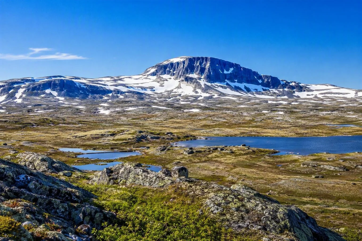
Hardangervidda is a vast, exposed upland rather than a single park entrance or village. Much of it lies within Hardangervidda National Park, mainland Norway’s largest national park, while protected landscapes extend beyond it. The terrain shifts noticeably: broad, gentler moors dominate to the east; rockier, steeper ground builds towards Hardanger in the west.
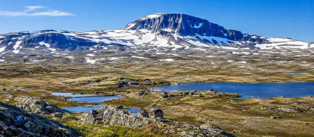
The essential scene is treeless alpine ground cut by shallow lakes, streams and marshes. Hårteigen, a 1,690-metre peak, is the plateau’s most recognisable landmark. Hardangerjøkulen glacier rises on the northern side.
Walks and mountain cabins
This is a place for proper mountain travel: short outings from the edges, or multi-day crossings using marked routes and mountain cabins. Finse is the classic northern launch point; routes from there head south across the plateau. Dyranut, Haukeliseter, Kalhovd and the Rjukan side provide other access points.
Choose the scale honestly. A day walk near a trailhead gives the landscape without committing to a traverse. A hut-to-hut trip requires a route plan, food, waterproof layers and navigation that does not depend on a phone. In the interior there are no shops, medical services or reliable mobile coverage.
Season: Snow-free walking is generally concentrated in July and August. Winter is for experienced skiers equipped for a serious, unmarked mountain environment; snow and wind can erase navigation cues quickly.
Reindeer country
Hardangervidda supports Europe’s largest wild-reindeer herd. Treat a sighting as wildlife, not an approach opportunity: stop, keep well away and let the animals choose their route. Stay on marked trails and keep dogs controlled.
The calving period, from mid-April to mid-June, is especially sensitive. Reindeer protection is also reshaping some cabin opening periods and marked routes. Plan around established, currently available routes rather than improvising deep in the plateau.
Getting in and across
By train: The Bergen Line stops at Finse, with Finsehytta beside the station; Hallingskeid is another rail access point. Finse makes the plateau accessible without a car.
By bus: Services reach Rjukan in the east and Haukeliseter in the south. In summer, bus route 991 runs between Geilo and Eidfjord on Rv7, serving trailheads including Fagerheim, Dyranut and Garen.
By car: Rv7 crosses the northern plateau between Haugastøl and Eidfjord. The 67-kilometre scenic-road section gives a quick visual introduction, with open upland, Hardangerjøkulen views and the descent through Måbødalen. In winter, conditions can bring temporary closures or convoy driving; the road may also close to give reindeer undisturbed grazing.
Before setting out
Carry a topographic map and compass, plus warm windproof and waterproof clothing even in summer. Fog, low temperatures and rapid weather changes are normal high-plateau conditions. Fishing requires permission from the landowner or relevant permit holder.
From the magazine
Stories about Hardangervidda
Editorial stories linked directly to Hardangervidda.
Routes from our editors
Travel through Hardangervidda
Editorial routes connecting Hardangervidda with other countries, cities and hotspots.
No routes through Hardangervidda have been published yet.
More in Norway
Related hotspots
Other cities, nature areas and places within Norway.
Bergen
2 linked stories and routes
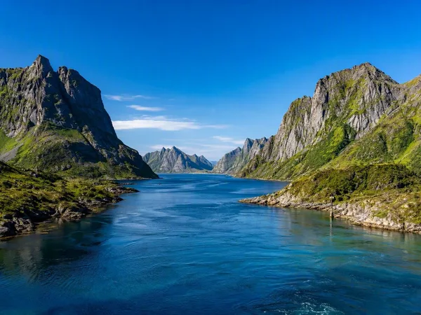
Lofoten
2 linked stories and routes
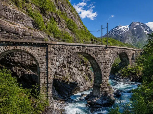
Romsdal, Norway
1 linked stories and routes
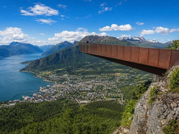
Åndalsnes
1 linked stories and routes
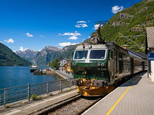
Flåm
1 linked stories and routes
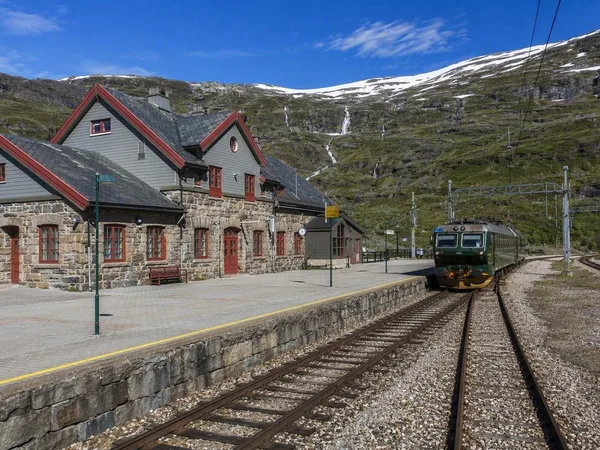
Myrdal
1 linked stories and routes
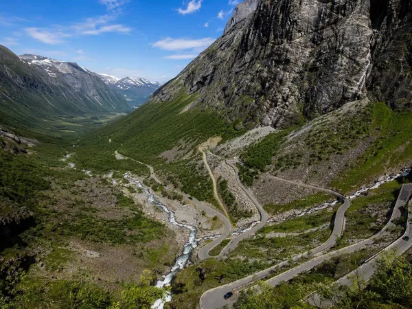
Trollstigen
1 linked stories and routes
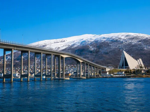
Tromsø
1 linked stories and routes
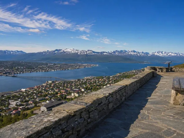
Storsteinen
1 linked stories and routes