Ecuador

Volcanoes, cloud forest and Pacific islands

Ecuador

Ecuador brings the Andes, Amazon, Pacific coast and Galápagos into one compact country.

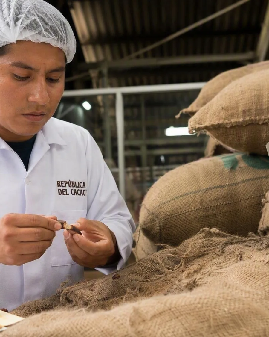
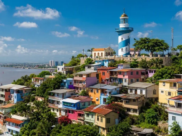
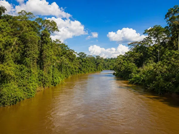
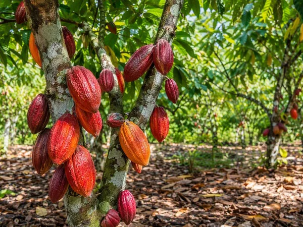
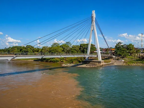
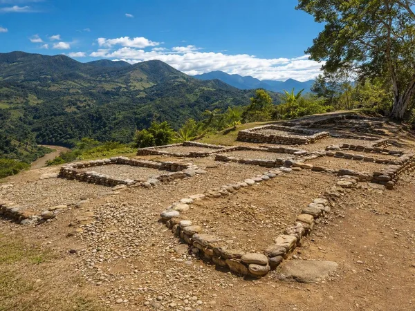
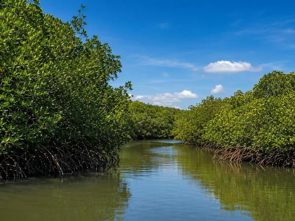
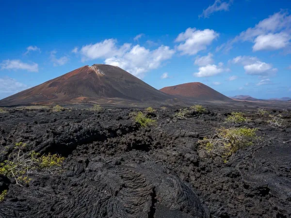
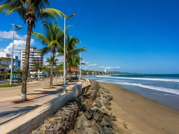
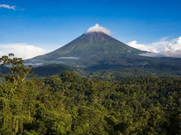
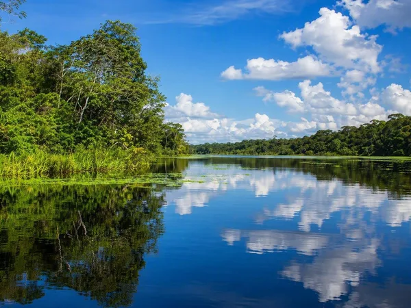
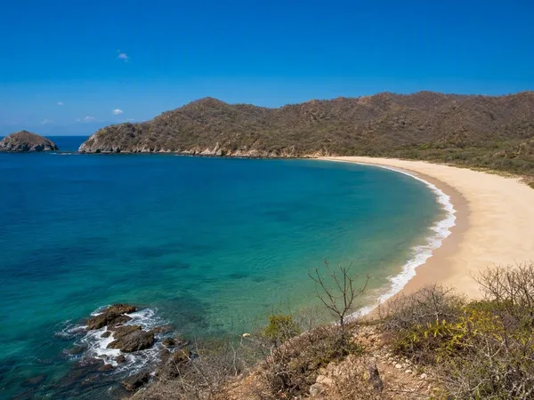
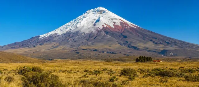
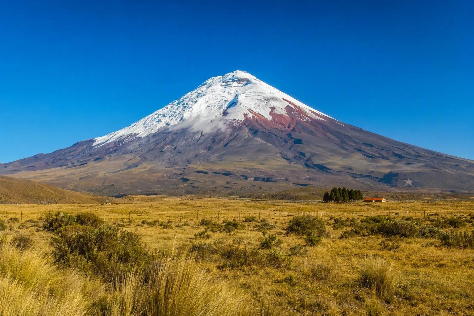
Ecuador makes its scale felt in quick, striking changes of ground and weather. Cotopaxi stands above the high páramo south of Quito, its snow-covered cone visible beyond open grassland and small farms. West of the Andes, cloud forest covers steep slopes before the land drops towards cacao farms and the Pacific. To the east, Amazon rivers run through forest communities. The Galápagos lie far offshore, with their own dry volcanic terrain and marine life. Ecuador is compact on a map, but each region has its own food, work and pace of life.

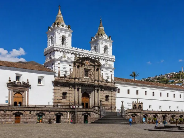
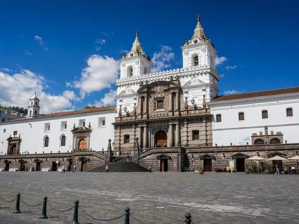
Quito runs along a long Andean valley beneath Pichincha. In the historic centre, people cross steep cobbled streets between churches, plazas and family businesses. North of the old town, cafés, galleries and apartment blocks fill newer districts. Cuenca takes a different shape: tiled roofs, riverside paths, craft workshops and markets sit among its colonial streets. At Otavalo, traders lay out woven blankets, hats and bags in a market that still supports local makers.

Meals show the same shifts in altitude. Highland cooks make locro de papa with potatoes, cheese and avocado. On the coast, bowls of ceviche and encebollado arrive with cassava and pickled onion. Amazon communities grow plantain, cassava and fruit, and keep food traditions tied to their territories. Take time in a market, sit down for lunch, and walk a few blocks beyond the headline sights. Ecuador gives curious travellers plenty to come back for.

When to go

Best time to travel

The monthly values are indicative average maximum temperatures for Quito and the central Andean highlands. Temperatures and rainfall vary meaningfully between the coast, Andes, Amazon and Galápagos. The monthly values are indicative average maximum temperatures for Quito and the central Andean highlands. Temperatures and rainfall vary meaningfully between the coast, Andes, Amazon and Galápagos.

jan19°C feb19°C mar19°C apr19°C may19°C jun19°C jul19°C aug20°C sep20°C oct19°C nov19°C dec19°C

Weather in the capital

Practical Ecuador

On every country page we show the current weather for the capital.

Quito
Morning13°Cpartly cloudy
Afternoon22°Cpartly cloudy
Evening14°Covercast
today22°C / 9°Chigh and low

Current forecast by Open-Meteo

Visa and entry

Entry arrangements vary by nationality, travel purpose and length of stay. Check the current details from Ecuador’s Ministerio del Interior (MDI) before departure.

Getting around

Intercity buses connect most mainland towns and cities. Domestic flights cover longer mainland journeys and link Quito and Guayaquil with the Galápagos. Taxis and app-based rides operate in major cities.

Paying in Ecuador

Cash is useful in markets, small restaurants and rural areas. Larger hotels, shops and restaurants usually accept cards, but small dollar notes make everyday purchases easier.

Where to stay

Options include city hotels, family-run guesthouses, Andean haciendas, Amazon lodges and Galápagos properties. Book island stays and major public-holiday dates well ahead.

Before you leave

Worth knowing

A practical starting point for your trip. Check current conditions and local information before you leave.

01

Calling code

Ecuador’s international calling code is +593. Drop the initial zero from a domestic area or mobile code when calling from abroad.

02

Languages

Spanish is the official language. Kichwa and Shuar have official status for intercultural relations, while other Indigenous languages are spoken in their communities.

03

Driving conventions

Traffic drives on the right. Road signs use standard Latin American symbols.

04

Long-distance buses

Intercity buses usually leave from dedicated terminals. Many routes run frequently, while overnight services and public-holiday departures can require reserved seats.

05

Mainland flights

Quito and Guayaquil are the main air hubs. Scheduled flights also serve cities including Cuenca, Manta, Loja and Coca.

06

Galápagos transfers

Scheduled speedboats connect several inhabited islands, and small aircraft serve selected routes. Boat transfers run at fixed times, so booking ahead is useful.

07

Mobile connectivity

Claro, Movistar and CNT operate mobile networks. Shops register local SIM cards with passport details, and coverage can be limited in remote mountain and rainforest areas.

08

Tipping

Many restaurants add a 10% service charge to the bill. An additional tip is optional; guides and drivers often receive tips for good service.

09

Meal times

Lunch is often the main meal and commonly falls between noon and mid-afternoon. Many restaurants offer an almuerzo set menu with soup, a main course and a drink.

10

Business hours

Many shops open from about 9am to 6pm, Monday to Saturday. Banks and public offices usually keep shorter weekday hours, while malls often open daily.

11

Measurements

Ecuador uses the metric system. Distances are in kilometres, fuel is sold by the US gallon, and food may be priced by the kilogram or pound.

12

Addresses and directions

Urban addresses often list a main street, cross street and building number. In smaller towns and rural areas, people commonly add a nearby landmark or neighbourhood name.