
City · Ecuador
Tena, Napo
Tena is the provincial capital of Napo in Ecuador’s northwestern Amazon, set where the Pano and Tena rivers meet. It is a compact city base for river landscapes, rainforest outings and the cacao-growing Kichwa communities of the surrounding canton.
Orientation
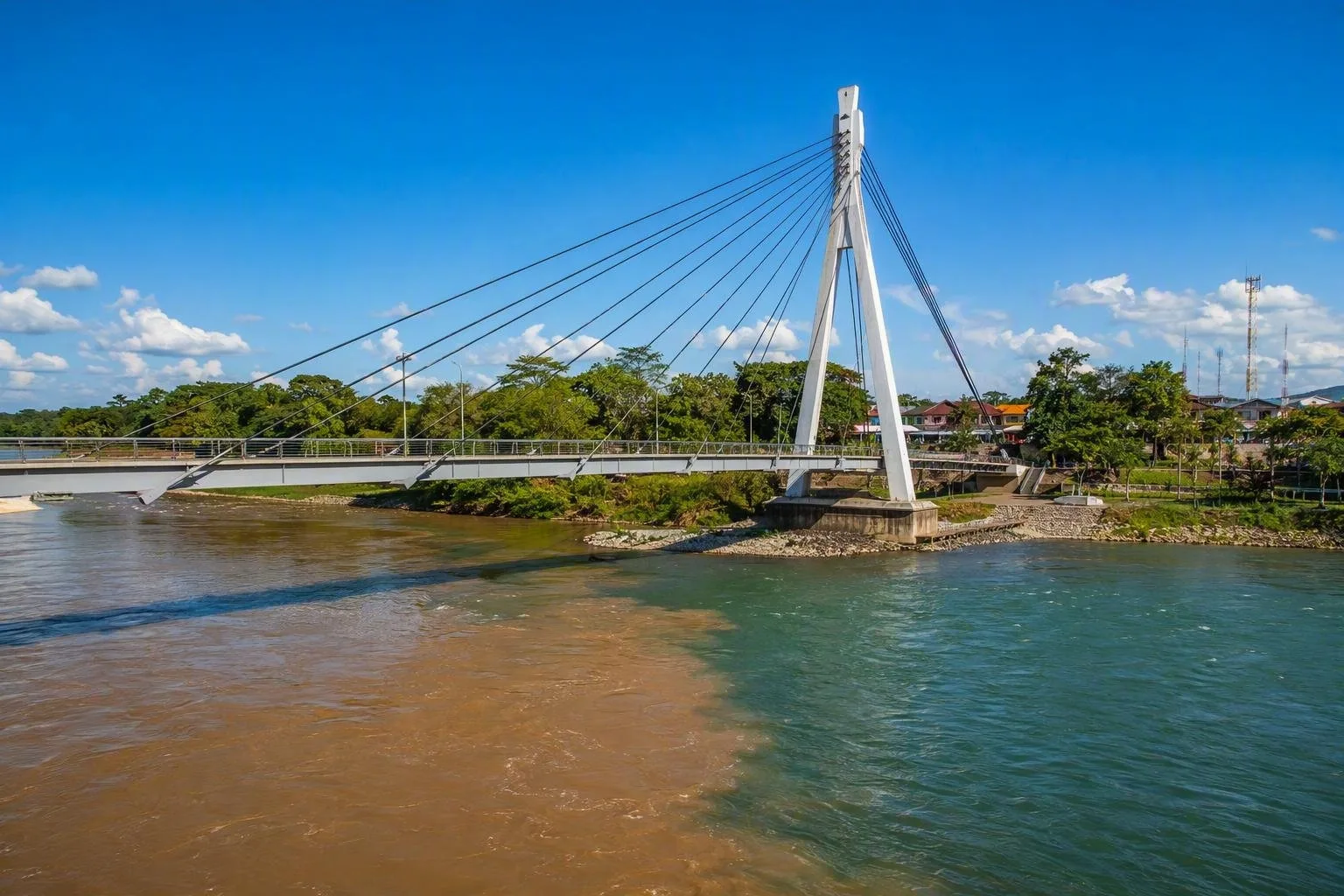
Tena is Napo Province’s administrative capital, in Ecuador’s Amazonian foothills. The city is shaped by water: the Pano and Tena rivers meet at its southern side, then flow onward toward the Misahuallí and Napo systems. The urban centre is manageable on foot, while the surrounding canton spreads far beyond it into rural parishes and forest.
The climate is hot, humid and wet. Expect rain in any month; quick-drying clothes, a rain layer, insect repellent and waterproof protection for electronics are practical rather than optional.
Start by the rivers
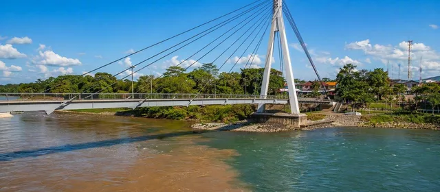
Parque Amazónico La Isla is the essential in-town stop. This riverside environmental park sits at the Pano–Tena confluence and is reached by its distinctive pedestrian bridge. Use it to get your bearings, walk among Amazonian vegetation and see why rivers define the city’s layout.
The waterfront and central streets are for a short urban circuit rather than a full-day sightseeing programme. Tena works best as a base: spend time in town, then use it to reach swimming areas, waterfalls, rafting put-ins and community-run experiences within the canton.
Cacao and Kichwa farming
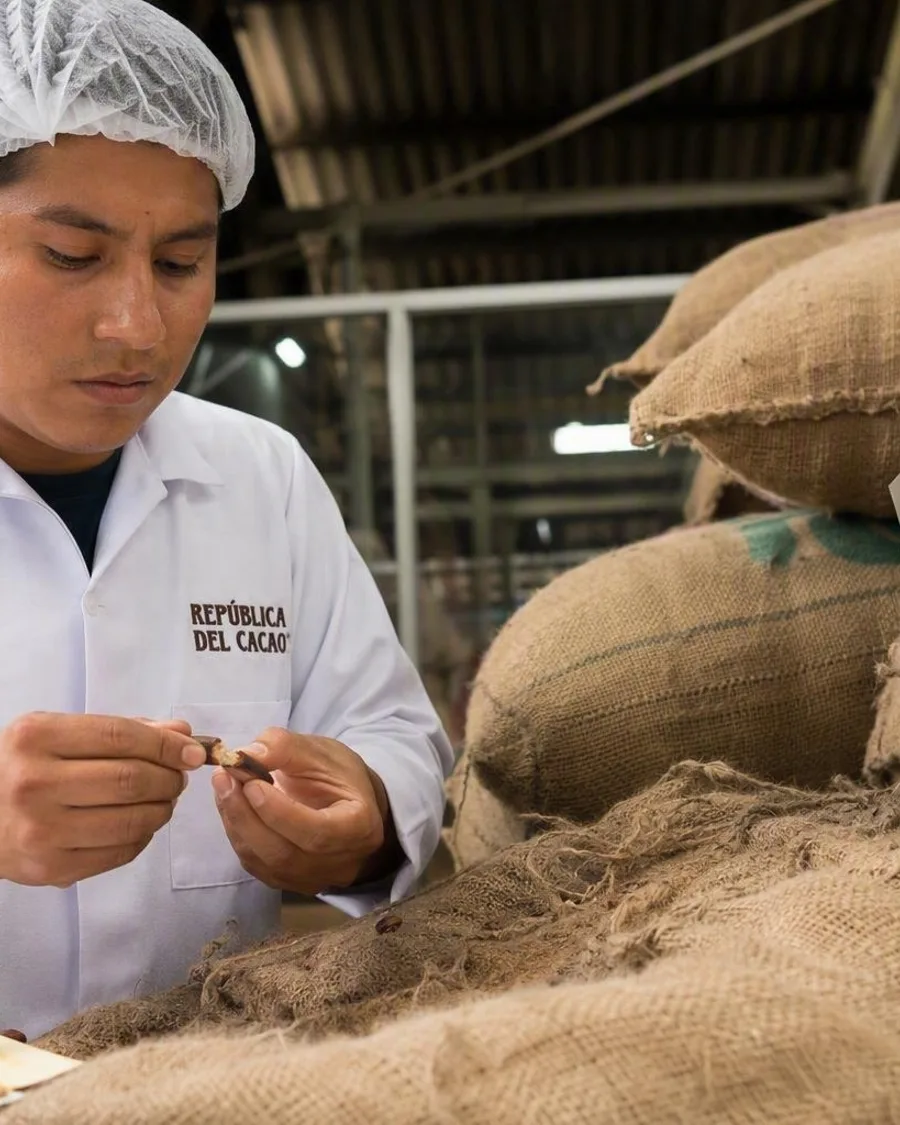
Cacao is one of the canton’s tropical crops. Around Tena, Kichwa producers cultivate fine-aroma cacao in chakra agroforestry plots, where cacao grows alongside food, fruit, medicinal and timber plants rather than as a single crop. Kallari, a Kichwa producer association based in Tena, links local growers with chocolate and cocoa markets.
This is an agricultural landscape, not a staged plantation attraction. If you join a community visit, treat it as someone’s working land: agree the visit locally, follow instructions and ask before photographing people, homes or cultivation work.
Getting there and around
Tena is reached overland. From Quito, the road distance is about 196 km and bus journeys take roughly four hours. Within the city, taxis cover the useful gaps between the terminal, centre and riverfront; walking handles the core.
For places outside town, arrange transport before leaving the urban area. Distances can look short on a map but road conditions, rain and river crossings affect journey times.
Rivers, swimming and rain
The nearby Jatun Yaku and Misahuallí are used for rafting and kayaking, and several local swimming spots have pools and waterfalls. Water conditions change fast after heavy rain.
Important: do not enter strong currents or unsupervised river sections. At managed swimming sites, use marked access points, observe operating hours and follow local safety staff or guides.
From the magazine
Stories about Tena, Napo
Editorial stories linked directly to Tena, Napo.
Routes from our editors
Travel through Tena, Napo
Editorial routes connecting Tena, Napo with other countries, cities and hotspots.
No routes through Tena, Napo have been published yet.
More in Ecuador
Related hotspots
Other cities, nature areas and places within Ecuador.
Quito
2 linked stories and routes
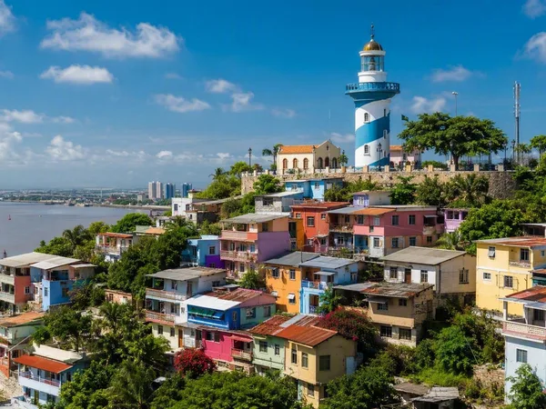
Guayaquil
2 linked stories and routes
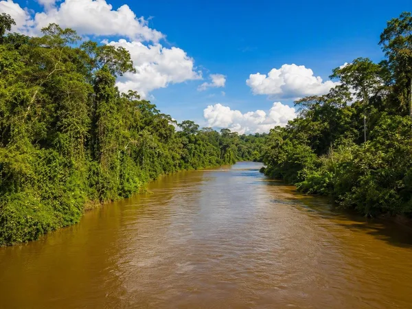
Amazon
1 linked stories and routes
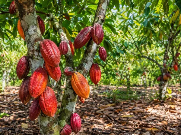
Los Ríos Province
1 linked stories and routes
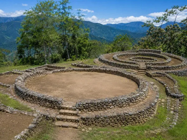
Zamora Chinchipe Province
1 linked stories and routes
Manabí Province
1 linked stories and routes
Santa Ana–La Florida Archaeological Site
1 linked stories and routes
Guayas Province
1 linked stories and routes
Galápagos Islands
1 linked stories and routes
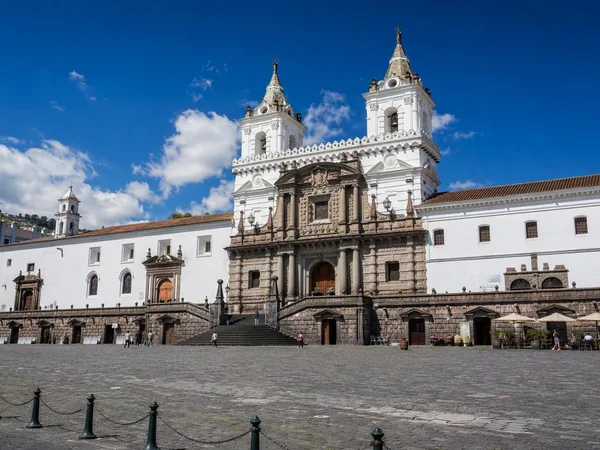
Plaza de San Francisco
0 linked stories and routes
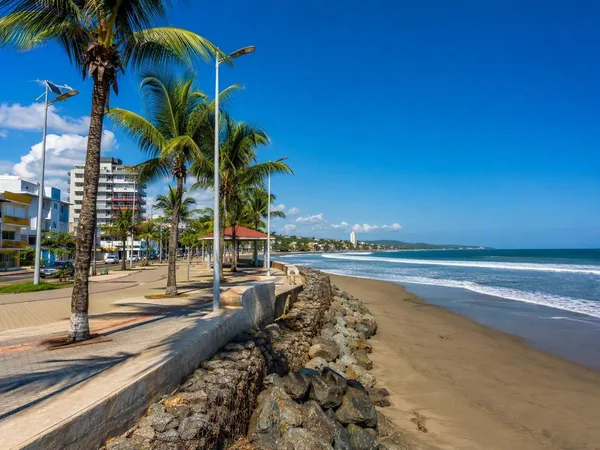
Esmeraldas Province
0 linked stories and routes
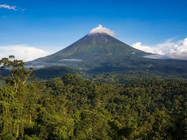
Napo Province
0 linked stories and routes
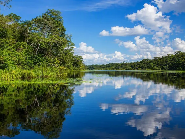
Sucumbíos Province
0 linked stories and routes
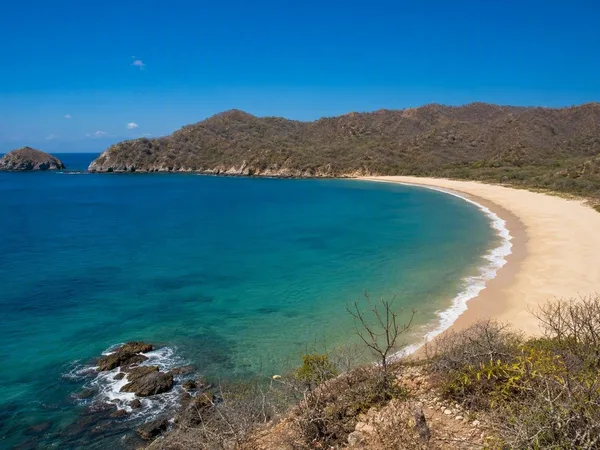
Playa de Los Frailes
0 linked stories and routes