
Province · Ecuador
Los Ríos Province
Los Ríos is a lowland province in Ecuador’s coastal region, with Babahoyo as its capital and Quevedo as its largest city. It is a major agricultural landscape, particularly for cacao.
Orientation
Los Ríos sits in central-western Ecuador, between the coastal plains and the routes leading inland. Babahoyo is the provincial capital; Quevedo, farther north, is the largest city. The province is divided into 13 cantons, including Babahoyo, Baba, Mocache, Palenque, Quevedo, Valencia, Ventanas and Vinces.
This is working farmland rather than a single compact visitor destination. Rivers, roads, small settlements and cultivated land define the landscape, so plan around a specific town, farm visit or local contact rather than treating the province as one walkable stop.
Cacao country
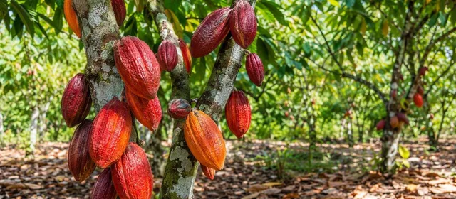
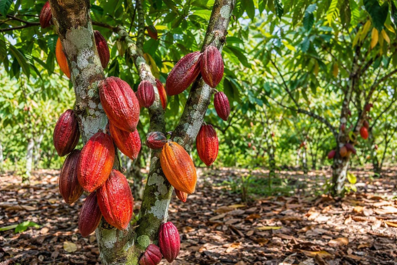
Cacao is central to Los Ríos’ identity and economy. The province is Ecuador’s leading cacao-producing province, with cultivation spread across rural cantons. Its farms contribute both Nacional/fino de aroma cacao and productive CCN-51 plantings to Ecuador’s chocolate supply chain.
Cacao begins as pods growing from the trunk and older branches of the tree. After harvest, the beans are removed from their white pulp, then fermented and dried before moving to buyers and chocolate makers. A chocolate bar labelled Ecuadorian can therefore begin in fields here but be processed elsewhere, including Quito or Guayaquil.
When buying chocolate, look beyond the country name. A bar that identifies Los Ríos, a farm, a cooperative or a cacao variety gives a more useful indication of origin.
What to look for
The province is best approached as an agricultural landscape. Useful points of focus include:
- Cacao orchards: pods on trunks, shade trees and drying areas show the first stages of chocolate production.
- Rural roads and river corridors: these connect farming communities with the towns where produce is traded and transported.
- Babahoyo: the administrative base and a practical reference point in the south of the province.
- Quevedo: the province’s largest urban centre and a key northern hub.
Do not assume that every cacao farm receives visitors. Production sites are private workplaces; arrange permission before entering fields, fermentation sheds or drying patios.
Getting around
Road travel is the practical way to move between the province’s towns and rural areas. Babahoyo lies on major connections between the coast and the highlands, while the E25 corridor serves much of the province. Public transport links the principal towns, but a hired vehicle or local driver is more efficient for reaching farms and smaller settlements.
Distances can look short on a map but rural routes may be slow, particularly in wet conditions. Keep footwear suitable for mud and uneven ground if a farm visit is on the plan.
Local calendar and culture
Los Ríos has a strong montuvio rural culture. Rodeos montuvios are staged in many cantons, especially around October, alongside local food, craft and community events. They are town- and date-specific rather than a province-wide daily attraction.
For cacao-focused travel, the useful question is not simply where cacao grows, but which farm or association can receive visitors on the day. Confirm access directly and treat harvest, fermentation and drying as active agricultural work.
From the magazine
Stories about Los Ríos Province
Editorial stories linked directly to Los Ríos Province.
Routes from our editors
Travel through Los Ríos Province
Editorial routes connecting Los Ríos Province with other countries, cities and hotspots.
No routes through Los Ríos Province have been published yet.
More in Ecuador
Related hotspots
Other cities, nature areas and places within Ecuador.
Quito
2 linked stories and routes
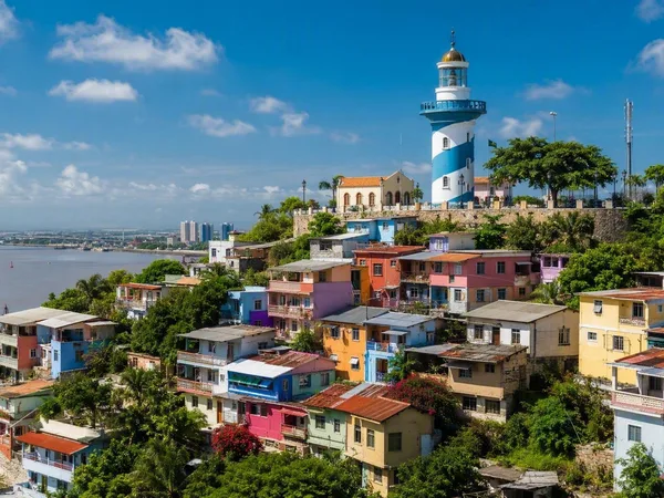
Guayaquil
2 linked stories and routes
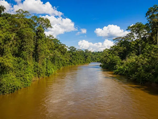
Amazon
1 linked stories and routes
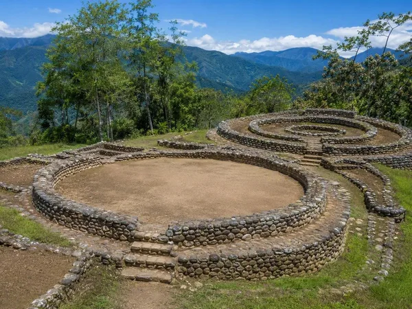
Zamora Chinchipe Province
1 linked stories and routes
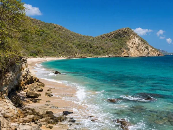
Manabí Province
1 linked stories and routes
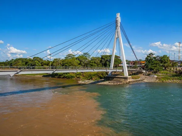
Tena, Napo
1 linked stories and routes
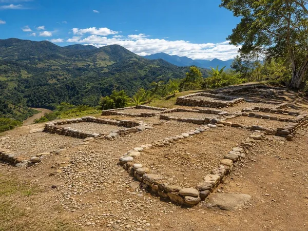
Santa Ana–La Florida Archaeological Site
1 linked stories and routes
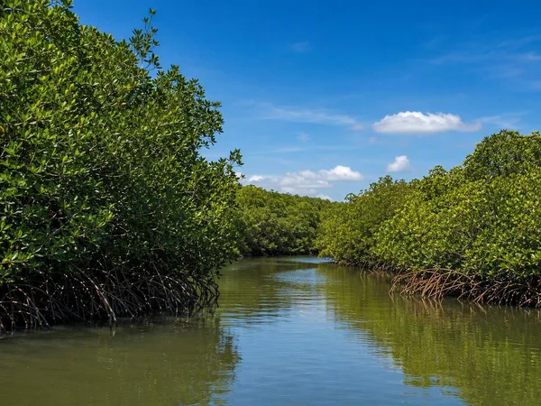
Guayas Province
1 linked stories and routes
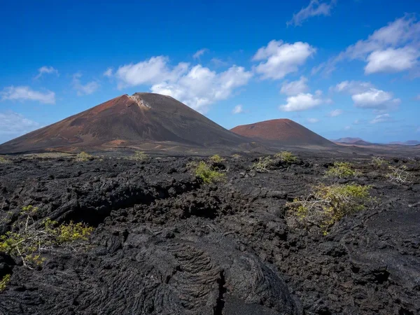
Galápagos Islands
1 linked stories and routes
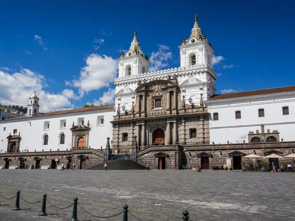
Plaza de San Francisco
0 linked stories and routes
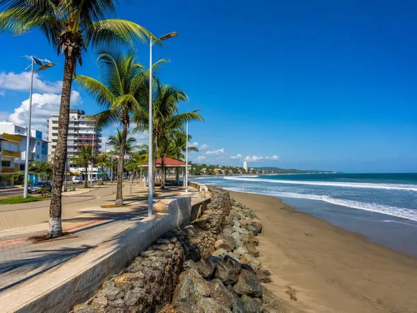
Esmeraldas Province
0 linked stories and routes
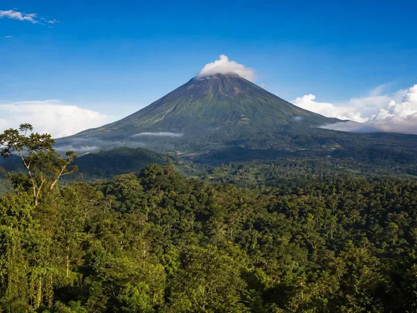
Napo Province
0 linked stories and routes
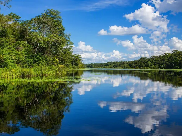
Sucumbíos Province
0 linked stories and routes
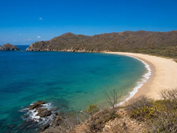
Playa de Los Frailes
0 linked stories and routes