
Province · Ecuador
Napo Province
Napo is an Ecuadorian Amazon province where Andean slopes meet rainforest plains. Its capital, Tena, is the practical base for rivers, community-led visits, caves, hot springs and the volcanic landscapes around Sumaco.
The shape of Napo
Napo occupies Ecuador’s central-northern Amazon, extending from Andean slopes into broad rainforest lowlands. The province takes its name from the Napo River and is divided into five cantons: Tena, Archidona, Carlos Julio Arosemena Tola, El Chaco and Quijos.
This is not one uniform jungle destination. Elevation, rivers and road access change sharply across the province. Use Tena, the provincial capital, as the main service centre and starting point; it sits between the Tena and Pano rivers.
Tena: the working base
Tena is the place to organise a stay, buy supplies and meet operators before heading into the province. In town, Parque Amazónico provides a compact introduction to local vegetation. The rivers frame the city rather than merely decorate it: riverbanks and bathing areas are part of its everyday layout.
From Tena, choose a direction instead of trying to cover Napo in one sweep:
- North and west: the road climbs toward Papallacta and its thermal-water area.
- North of Tena: Archidona combines a small town stop with access to the Jumandy cave complex.
- East and southeast: Puerto Misahuallí connects visitors with the Napo River and deeper Amazon travel.
Sumaco and the forest edge
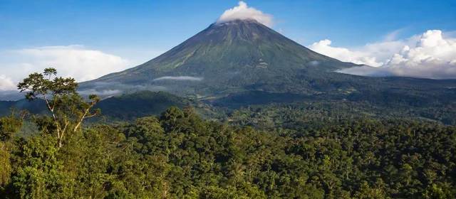
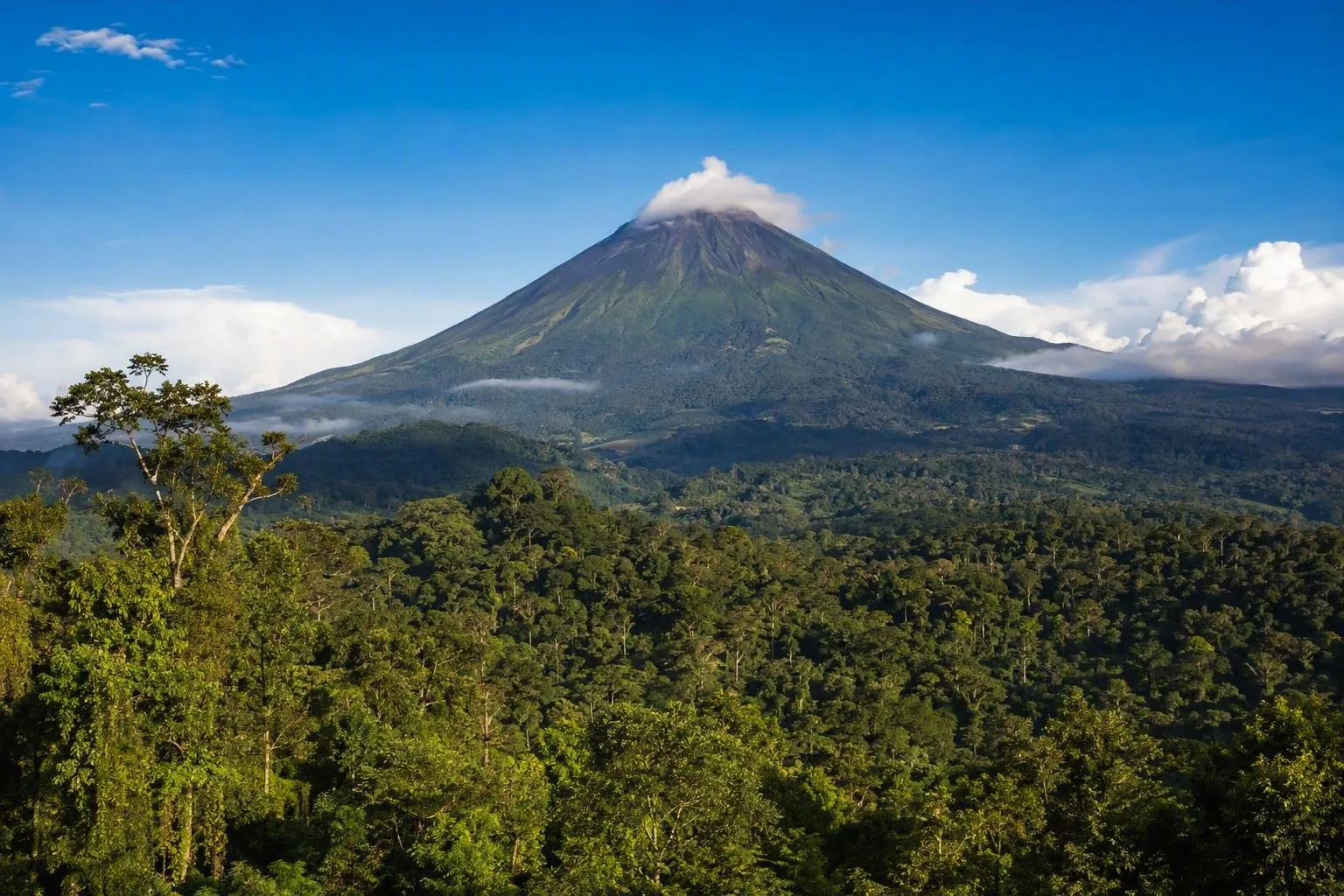
Volcán Sumaco is Napo’s defining landform: an isolated, potentially active volcano rising from the Amazonian landscape. It is the high point of the Napo Sumaco UNESCO Global Geopark, where slopes, mesas, valleys and forest show the meeting of Andes and Amazon.
The wider Sumaco Napo-Galeras protected landscape includes tropical lowland forest, foothill forest and higher mountain environments. Do not treat a volcano outing as a casual Tena day walk. Routes, conditions and access vary; use locally qualified guides for remote geosites and forest trails.
Communities, craft and cacao
Amazonian Kichwa communities are central to Napo’s cultural landscape. Community tourism is run by host communities, with services and benefits managed locally. Visits work best when they are arranged as a specific community-led experience rather than an unscheduled stop.
Look for locally made shigras (fibre bags), ceramics and other crafts in Tena, Archidona and Misahuallí. Napo also forms part of a cacao-and-chocolate route that links fine-aroma cacao, agroecological chakra production, food and tourism. Cacao from Napo travels beyond the province for processing, including to Quito’s chocolate workshops; the growing landscape remains here.
Plan for wet, varied terrain
Napo has a humid tropical climate, while higher Andean sectors are markedly cooler. Pack rain protection, footwear that handles mud and riverbanks, and a dry bag for electronics.
Access rule: remote sites and community territories are not public shortcuts. Follow local entry arrangements, stay on agreed routes and treat photography, river travel and cultural activities as matters for the host guide to set.
From the magazine
Stories about Napo Province
Editorial stories linked directly to Napo Province.
No stories about Napo Province have been published yet.
Routes from our editors
Travel through Napo Province
Editorial routes connecting Napo Province with other countries, cities and hotspots.
No routes through Napo Province have been published yet.
More in Ecuador
Related hotspots
Other cities, nature areas and places within Ecuador.
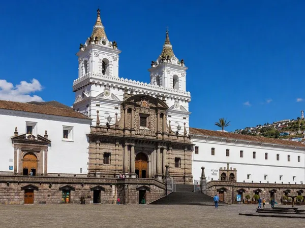
Quito
2 linked stories and routes
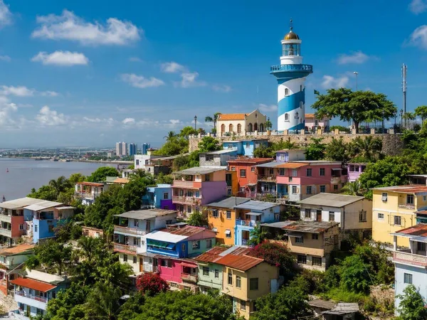
Guayaquil
2 linked stories and routes
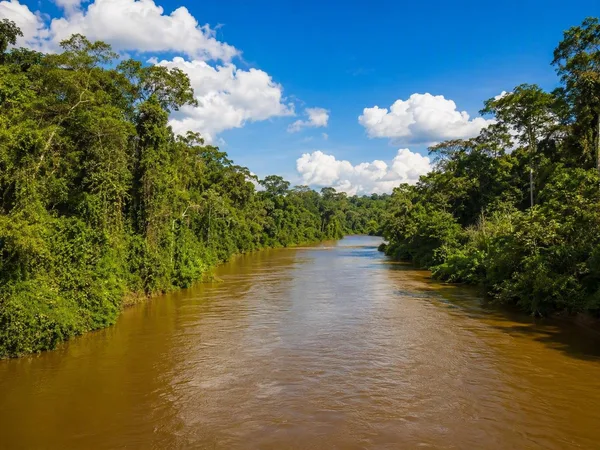
Amazon
1 linked stories and routes
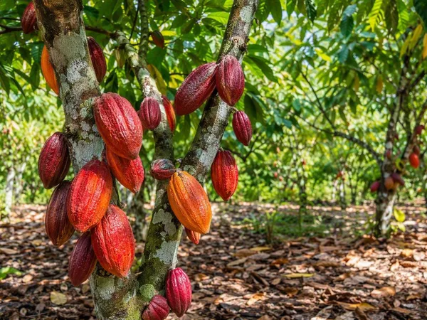
Los Ríos Province
1 linked stories and routes
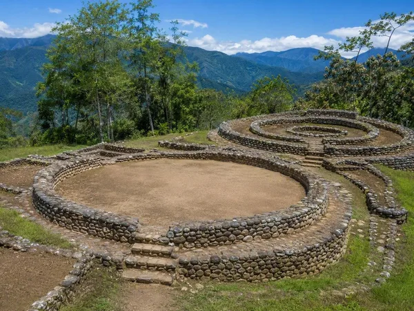
Zamora Chinchipe Province
1 linked stories and routes
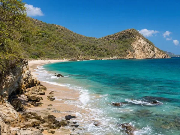
Manabí Province
1 linked stories and routes
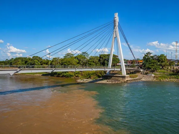
Tena, Napo
1 linked stories and routes
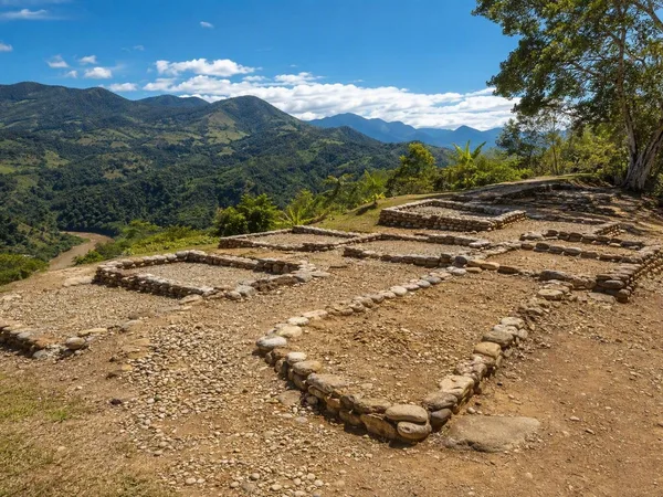
Santa Ana–La Florida Archaeological Site
1 linked stories and routes
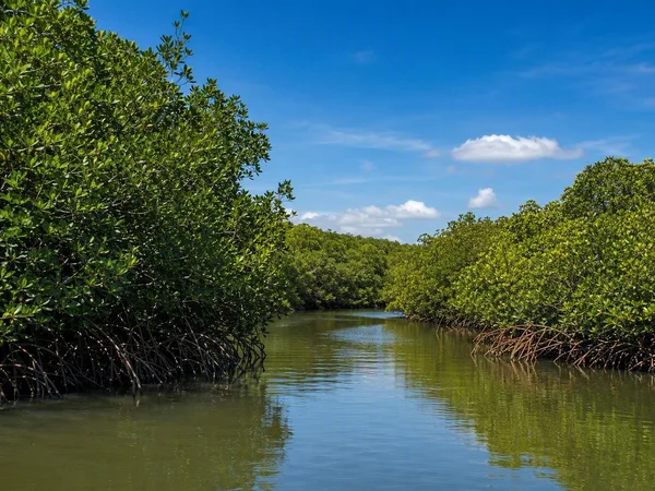
Guayas Province
1 linked stories and routes
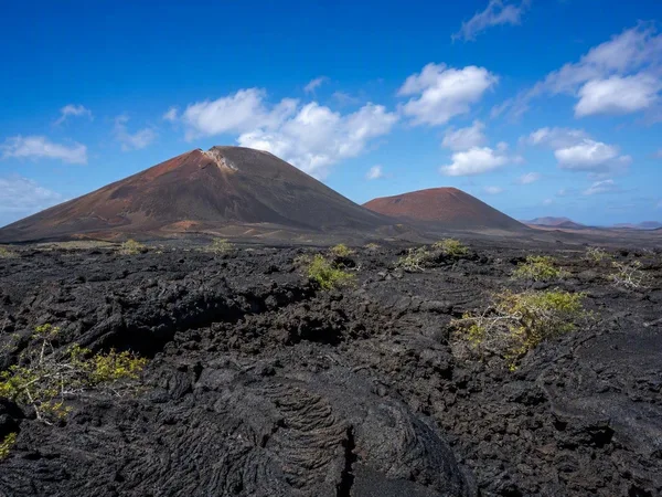
Galápagos Islands
1 linked stories and routes
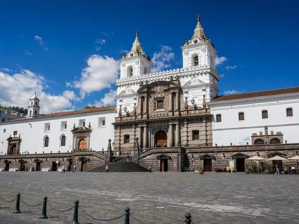
Plaza de San Francisco
0 linked stories and routes
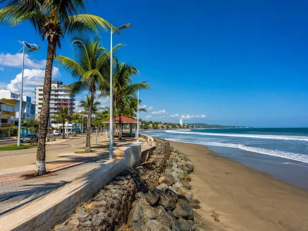
Esmeraldas Province
0 linked stories and routes
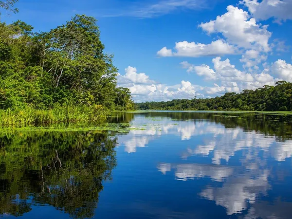
Sucumbíos Province
0 linked stories and routes
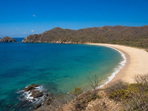
Playa de Los Frailes
0 linked stories and routes