
City · Chile
Valparaíso
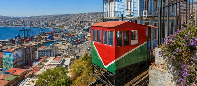
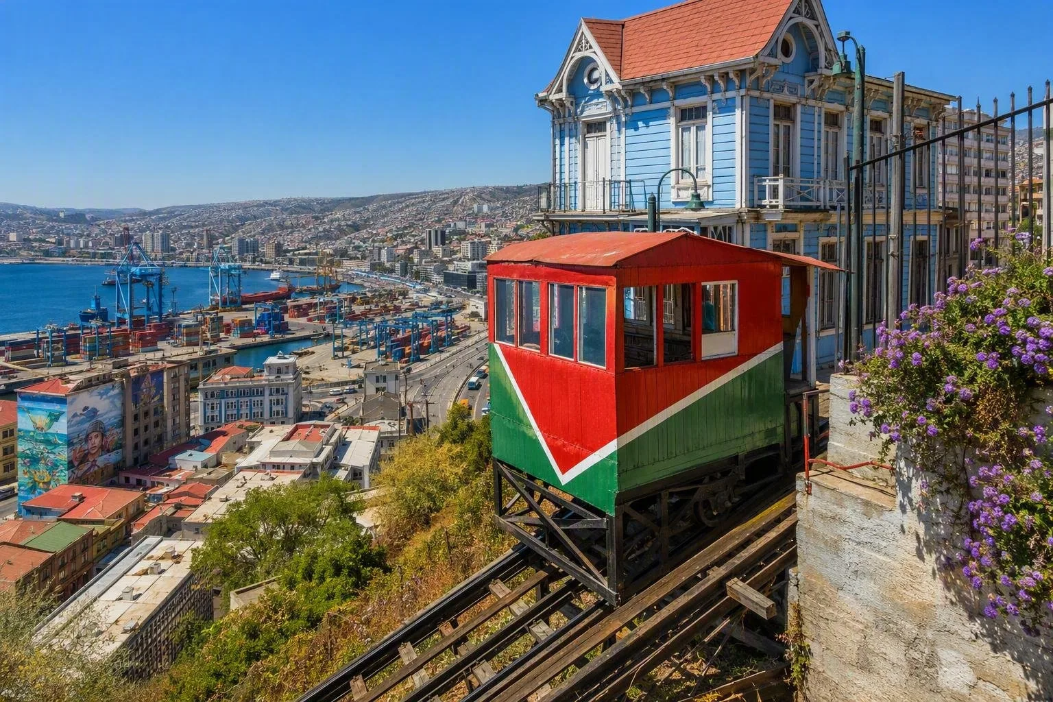
Valparaíso is Chile’s historic Pacific port, about 120 km northwest of Santiago. Its narrow waterfront plain, steep cerros and working funiculars form a city built vertically around the bay.
Read the city vertically
Valparaíso is arranged in three useful layers: the port and civic streets on the narrow plan at sea level; the slopes; and the cerros, the residential hills above. This is why a short distance on a map can involve a long climb.
The historic quarter became a UNESCO World Heritage site in 2003. Its significance lies in the late-19th- and early-20th-century port city: commercial buildings and formal streets below, with hillside neighbourhoods, stairways and funicular infrastructure rising behind them.
Start at Plaza Sotomayor, beside Muelle Prat, to understand the port-facing centre. From there, the older Barrio Puerto and the hill districts spread outward rather than follow a neat grid.
Work the hills into the route
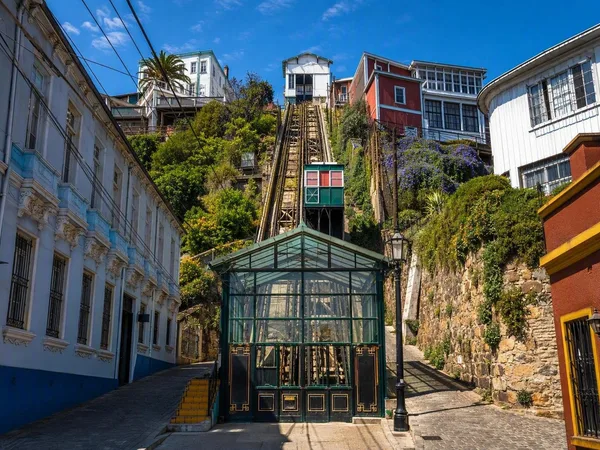
Cerro Alegre and Cerro Concepción are the most straightforward hills for a first walk. Use their lanes, staircases, murals and public lookouts as the route itself, rather than treating them as a checklist of addresses.
Useful stops include:
- Paseo Gervasoni on Cerro Concepción, reached near the upper end of Ascensor Concepción.
- Paseo Yugoslavo on Cerro Alegre, above Plaza de Justicia and close to Ascensor El Peral.
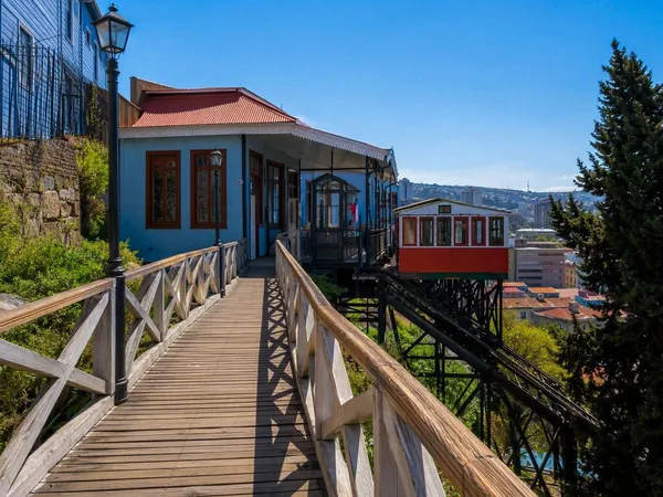
- Paseo Dimalow, a pedestrian passage on Cerro Alegre beside Ascensor Reina Victoria.
Street art is part of the contemporary streetscape, but the city’s structure is the main sight: narrow passages, stairways and houses fitted to steep ground. Wear shoes with reliable grip; gradients and uneven paving are routine.
Ride an ascensor
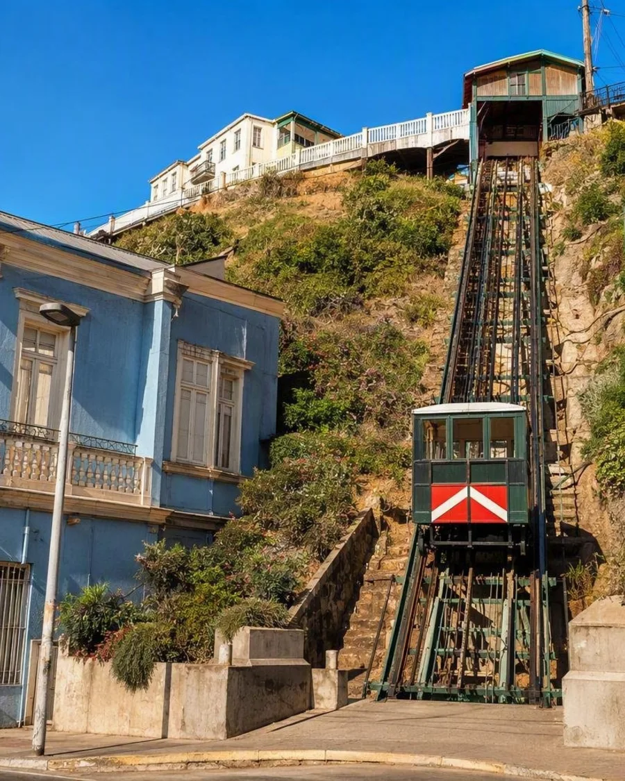
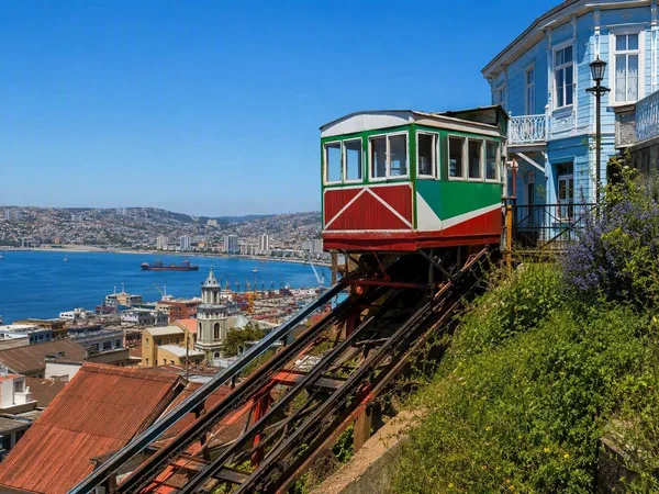
The ascensores are cable funiculars, not conventional lifts. They were developed to connect the commercial lower town with the hills during Valparaíso’s port boom. The city built 30; 16 are protected as Historic Monuments.
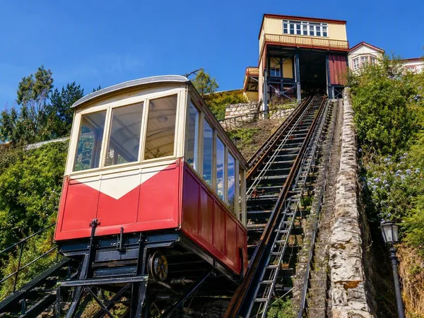
Ascensor Concepción, inaugurated in 1883, is the oldest. Ascensor El Peral links Plaza de Justicia with Cerro Alegre. Ascensor Reina Victoria, in service since 1903, runs roughly 40 metres between Calle Elías and Paseo Dimalow on a notably steep slope.
These are transport infrastructure with heritage value, and maintenance can interrupt individual lines. Carry cash for tickets and regard stairs as the practical fallback, not an optional detour.
Arriving and moving around
From Santiago, Route 68 reaches Valparaíso in roughly 1 hour 30 minutes by road; buses, transfers and rental cars use the same corridor. The city bus terminal is inland from the historic port. Central ascensores such as Concepción and El Peral are about 15 minutes away by taxi or car.
On foot, keep the day geographically tight: explore the plan and one or two adjoining cerros rather than repeatedly descending and climbing. The metro connects Valparaíso with neighbouring Viña del Mar and towns inland, while local buses serve the wider urban area.
Practical street sense
The hills are lived-in neighbourhoods as well as visitor areas. Keep valuables out of sight, especially on quieter streets, and choose direct, active routes after dark. Do not enter port or railway areas that are signed as restricted. The terrain, not the distance, determines how long a walk takes.
From the magazine
Stories about Valparaíso
Editorial stories linked directly to Valparaíso.
Routes from our editors
Travel through Valparaíso
Editorial routes connecting Valparaíso with other countries, cities and hotspots.
No routes through Valparaíso have been published yet.
More in Chile
Related hotspots
Other cities, nature areas and places within Chile.
Atacama
2 linked stories and routes
Cerro Alegre
1 linked stories and routes
Cerro Concepción
1 linked stories and routes
Ascensor Reina Victoria
1 linked stories and routes
Paseo Dimalow
1 linked stories and routes

Rapa Nui
1 linked stories and routes
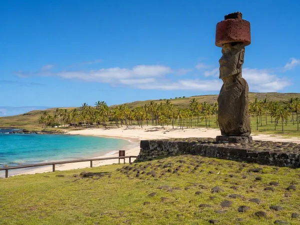
Anakena
1 linked stories and routes
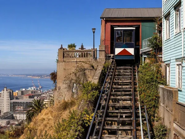
Ascensor Concepción
0 linked stories and routes
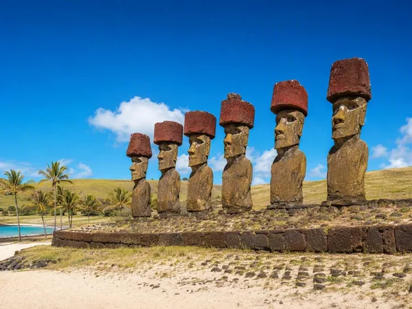
Ahu Nau Nau
0 linked stories and routes