
Sight · Chile
Strait of Magellan
The Strait of Magellan is the 330-nautical-mile passage across southern Chile linking the Atlantic and Pacific oceans. It separates mainland Patagonia from Tierra del Fuego and its island-studded western reaches.
What it is
The Strait of Magellan is a long, winding sea passage in Chile’s Magallanes and Chilean Antarctica Region. From Punta Dungeness at the Atlantic entrance to the Evangelistas Islets at the Pacific exit, it runs for 330 nautical miles. Mainland Patagonia lies to the north; Tierra del Fuego and a complex chain of islands lie to the south and west.
This is not one compact sight with a single viewpoint. It is a working waterway with distinct eastern narrows, the Punta Arenas waterfront, and increasingly rugged western channels. Punta Arenas is the practical urban base and the strait’s principal port.
Why it matters
Ferdinand Magellan’s expedition made the first European transit in 1520. For centuries before the Panama Canal opened in 1914, the strait was a major natural route between the Atlantic and Pacific. Its protected inland course offered an alternative to rounding Cape Horn, though it was never an easy passage.
The waterway remains entirely under Chilean jurisdiction, and navigation is guaranteed to vessels of all flags. Its significance is best read in the landscape: a broad maritime corridor, headlands, islands and coastal settlements shaped by a route that connected oceans.
See it from land
Start on Punta Arenas’s waterfront for the most direct, accessible encounter with the waterway. The city faces the central strait and makes the scale of the crossing to Tierra del Fuego clear.
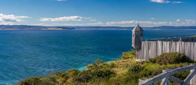
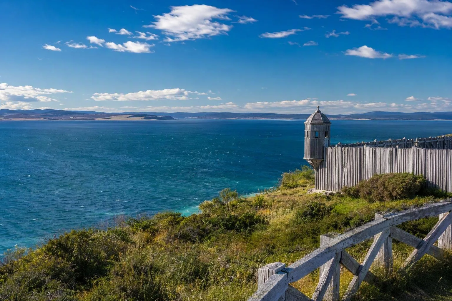
For a more substantial shore visit, travel south to Parque del Estrecho de Magallanes, 52 km from Punta Arenas. On Punta Santa Ana, the park combines Strait-facing lookouts and trails with Fuerte Bulnes and the ruins of Ciudad Rey Don Felipe, also known as Puerto del Hambre. These sites place Chile’s 19th-century assertion of control over the strait alongside an earlier, failed Spanish settlement.
The park has a visitor centre, parking, toilets and food service. Entry is charged; opening hours and last entry vary by season.
On the water
A scheduled crossing or licensed excursion is the realistic way to experience the strait afloat. Do not treat it as casual recreational water: changing wind and sea conditions are a defining feature of far-southern Chile.
The First and Second Narrows are especially important tidal passages. Currents in the First Narrows can reach eight knots during spring tides. Commercial and private vessels operating through the strait are subject to Chilean maritime rules; channel pilotage is compulsory in the designated southern inland-water zone.
Timing and conditions
Summer brings up to 20 hours of daylight; June has roughly six. Long days do not mean settled conditions. Wind can rise quickly in any season, and rain and cold are possible even in summer.
Bring a windproof outer layer, insulation and footwear suited to wet ground for shore walks. If visiting Punta Santa Ana, allow enough time for the coastal setting and heritage sites rather than treating the park as a quick roadside stop.
From the magazine
Stories about Strait of Magellan
Editorial stories linked directly to Strait of Magellan.
No stories about Strait of Magellan have been published yet.
Routes from our editors
Travel through Strait of Magellan
Editorial routes connecting Strait of Magellan with other countries, cities and hotspots.
No routes through Strait of Magellan have been published yet.
More in Chile
Related hotspots
Other cities, nature areas and places within Chile.
Valparaíso
4 linked stories and routes
Cerro Alegre
3 linked stories and routes
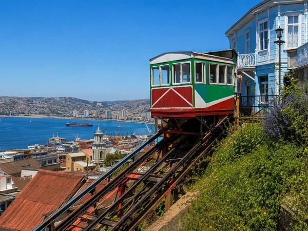
Cerro Concepción
3 linked stories and routes
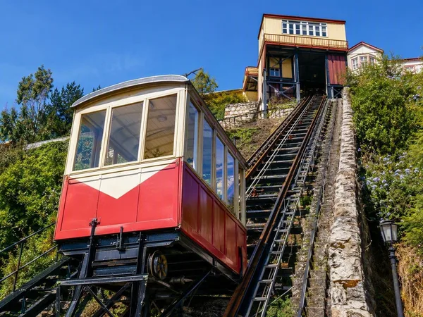
Ascensor Reina Victoria
2 linked stories and routes
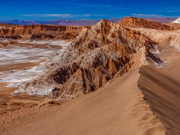
Atacama
2 linked stories and routes
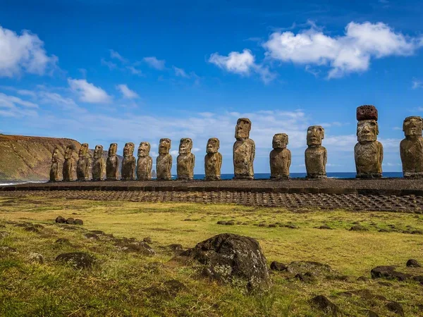
Rapa Nui
2 linked stories and routes
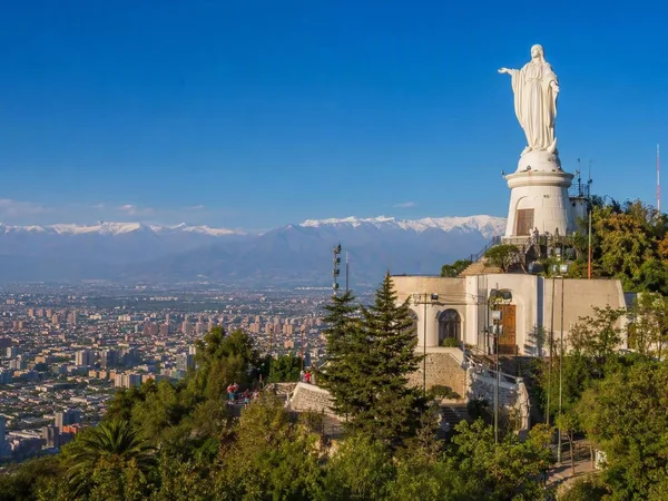
Santiago
2 linked stories and routes
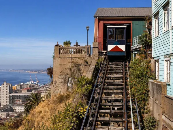
Ascensor Concepción
1 linked stories and routes
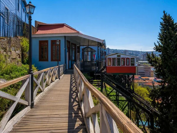
Paseo Dimalow
1 linked stories and routes
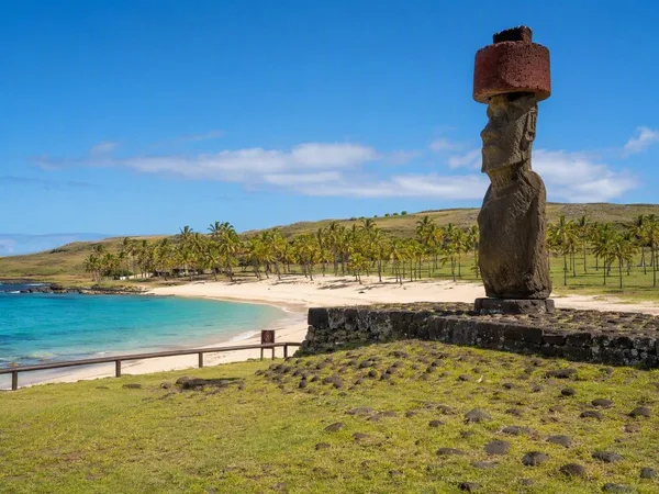
Anakena
1 linked stories and routes
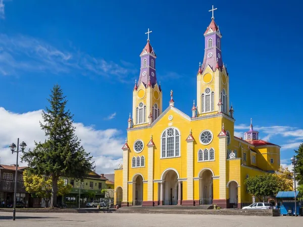
Chiloé
1 linked stories and routes
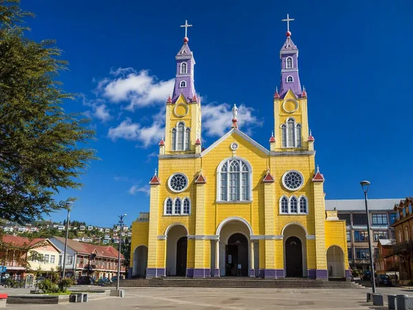
Castro, Chiloé
1 linked stories and routes
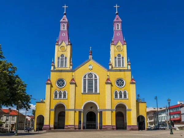
San Francisco Church, Castro
1 linked stories and routes
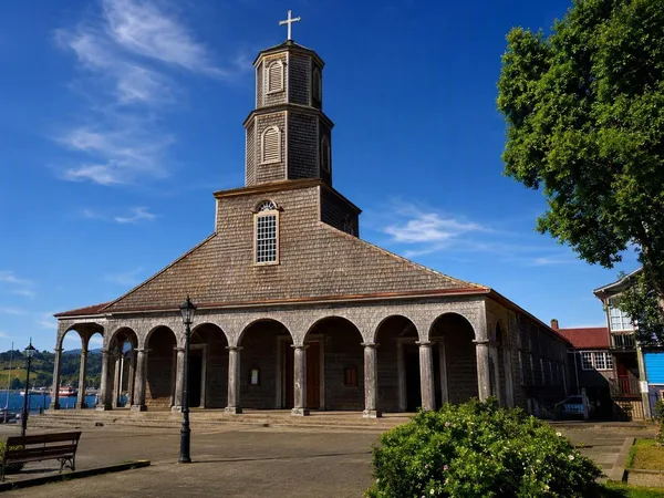
Dalcahue
1 linked stories and routes
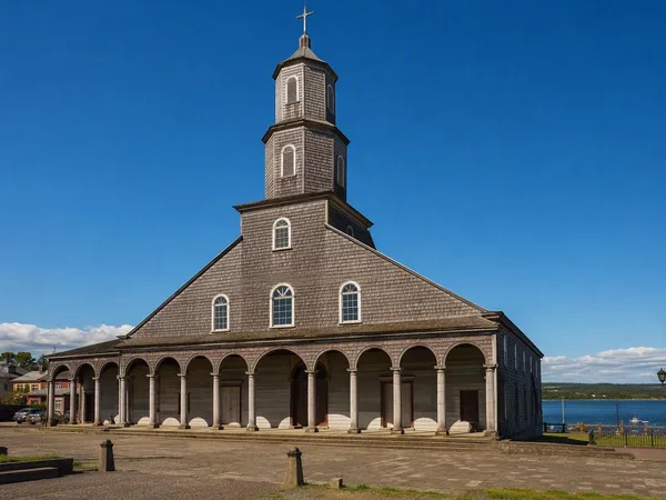
Nuestra Señora de los Dolores, Dalcahue
1 linked stories and routes
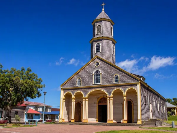
Isla Quinchao
1 linked stories and routes
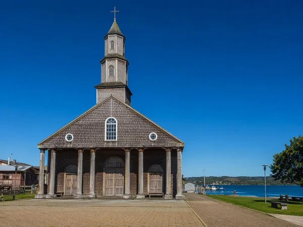
Achao
1 linked stories and routes
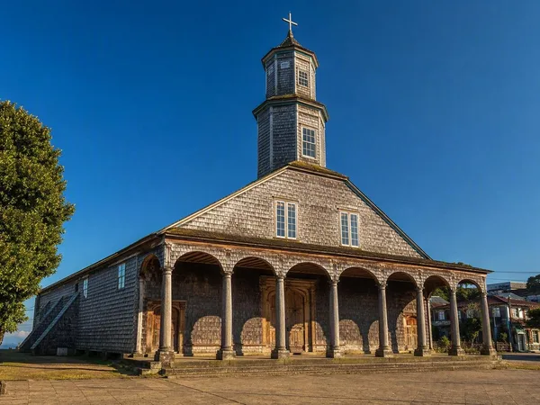
Santa María de Loreto Church, Achao
1 linked stories and routes
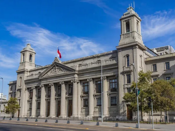
El Almendral, Valparaíso
1 linked stories and routes

National Congress of Chile
1 linked stories and routes
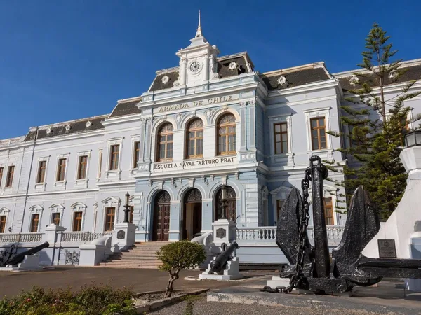
Museo Marítimo Nacional
1 linked stories and routes
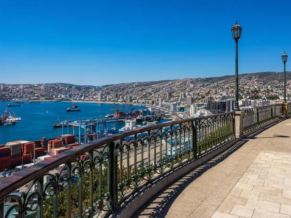
Cerro Artillería, Valparaíso
1 linked stories and routes
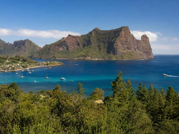
Juan Fernández Archipelago
1 linked stories and routes
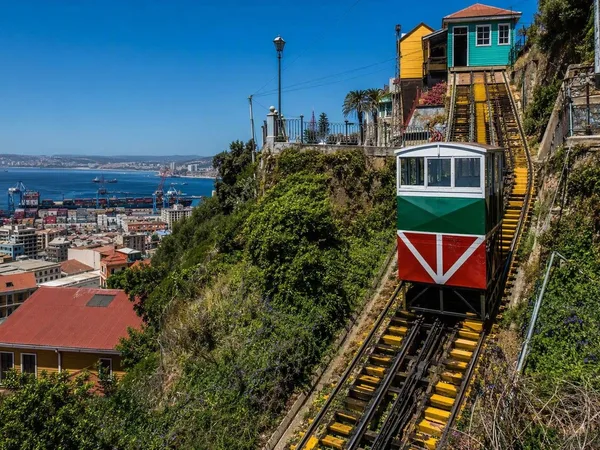
Cerro Barón
1 linked stories and routes
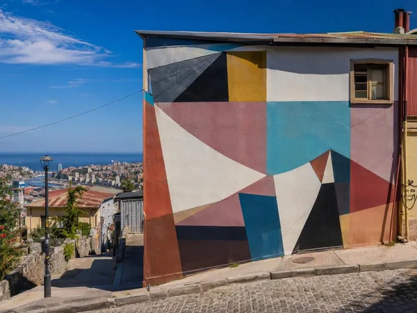
Cerro Bellavista
1 linked stories and routes
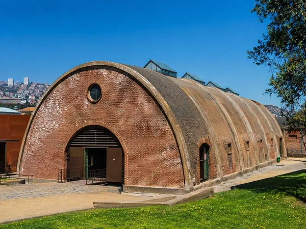
Cerro Cárcel
1 linked stories and routes
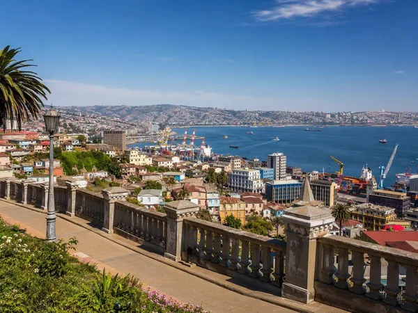
Playa Ancha, Valparaíso
1 linked stories and routes
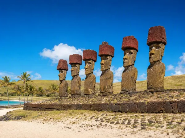
Ahu Nau Nau
0 linked stories and routes