
Neighbourhood · Chile
Cerro Concepción
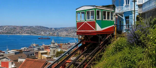
Cerro Concepción is a steep historic neighbourhood above central Valparaíso, Chile, shaped by 19th-century European settlement, funicular access and bay-facing promenades. Its lanes, stairs and viewpoints are best explored on foot.
What Cerro Concepción is
Cerro Concepción is one half of Valparaíso’s protected Alegre–Concepción historic area; Calle Urriola marks the divide with Cerro Alegre. The hillside was largely developed by English and German immigrants from the first half of the 19th century, leaving timber, corrugated-metal and European-influenced houses adapted to a sharply falling site.
This is a residential quarter as well as a visitor area. Its appeal is not one monument but the relationship between narrow passages, stairways, lookout walks and buildings that step down the slope toward the bay.
Start with the funicular
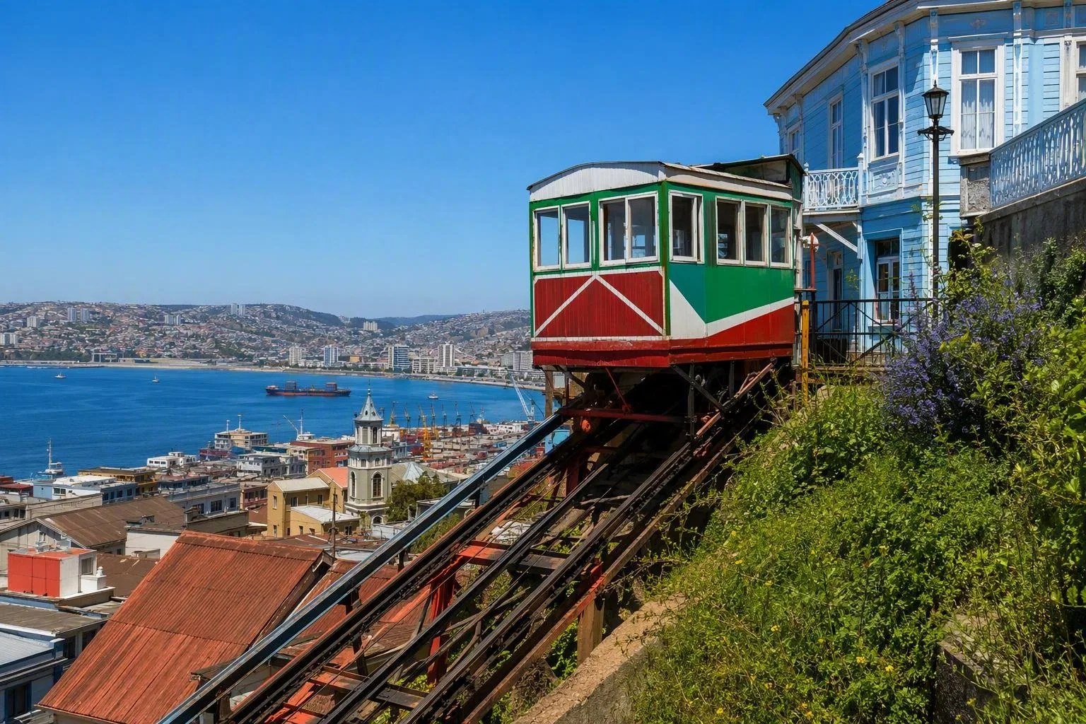
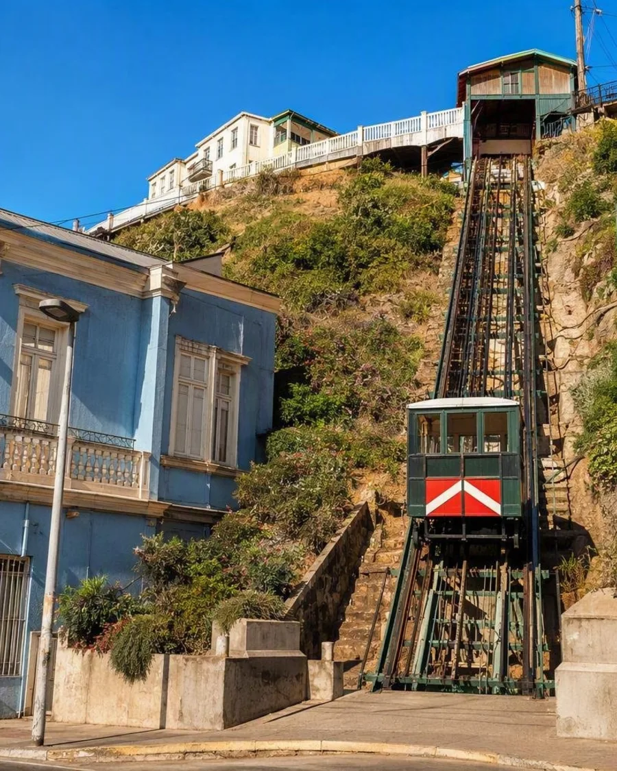
Ascensor Concepción is the cleanest arrival point. Opened in 1883, it was Valparaíso’s first funicular. Its lower station is on Pasaje Elías, off Calle Prat by Reloj Turri; the upper station opens onto Paseo Gervasoni.
From the top, use the hill as a walk rather than a checklist:
- Follow Paseo Gervasoni for a broad look across the port and bay.
- Continue via Templeman and Papudo toward Paseo Atkinson.
- Take the stairs and passages as connectors, not shortcuts: they are central to the neighbourhood’s layout.
The funicular is a working transport link, so service can be affected by maintenance. If it is not running, approach uphill on foot via Almirante Montt or Urriola.
Key streets and viewpoints
Paseo Atkinson is the essential second stop. Its houses, gardens and bay outlook show how the hill was planned as a residential terrace rather than a conventional street grid. The promenade also gives a clear view down toward Plaza Aníbal Pinto and the lower city.
Look closely at how the architecture handles the terrain. A building that appears low from the street can reveal several levels on the seaward side. Balconies, galleries, sloping roofs and corrugated cladding are practical responses to limited flat ground, as well as part of the area’s visual character.
For the more irregular side of Cerro Concepción, work through Pasaje Gálvez, Escalera Fischer, Escalera Apolo and the stairways around Templeman. These routes link the outlooks with the dense, vertical fabric of the hill.
Practical approach
Allow around three hours for Cerro Concepción and adjoining Cerro Alegre without rushing. Start in the lower city, ride or walk up, then move across the ridge before descending by a different route.
Wear shoes with grip. The route includes steep gradients, uneven paving and long flights of steps. Keep to active public routes after dark; the neighbourhood’s passages can become quiet quickly. Cafés and restaurants are concentrated around the main promenades, while the smaller lanes remain primarily residential.
From the magazine
Stories about Cerro Concepción
Editorial stories linked directly to Cerro Concepción.
Routes from our editors
Travel through Cerro Concepción
Editorial routes connecting Cerro Concepción with other countries, cities and hotspots.
No routes through Cerro Concepción have been published yet.
More in Chile
Related hotspots
Other cities, nature areas and places within Chile.
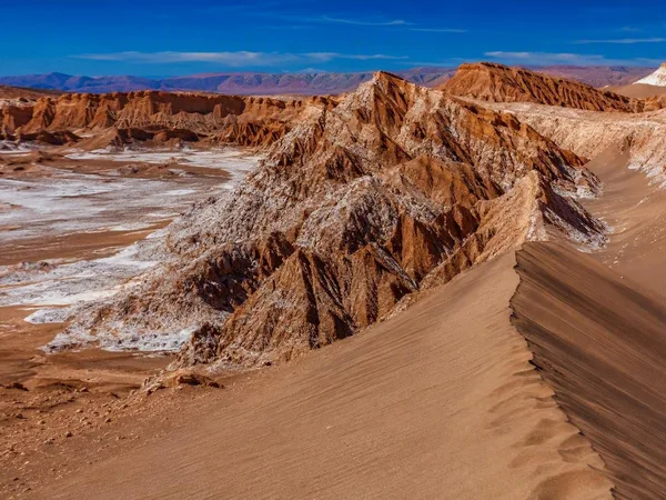
Atacama
2 linked stories and routes
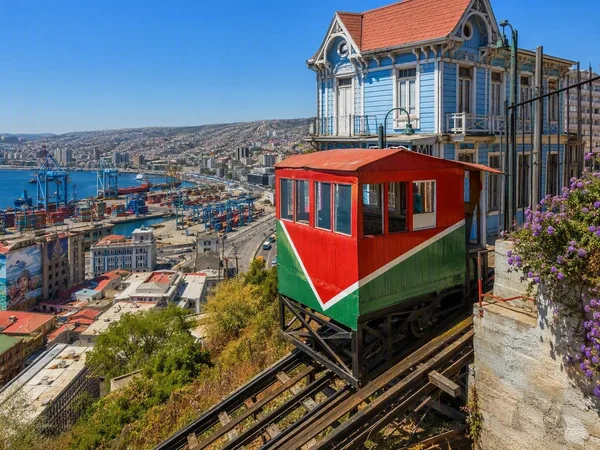
Valparaíso
1 linked stories and routes
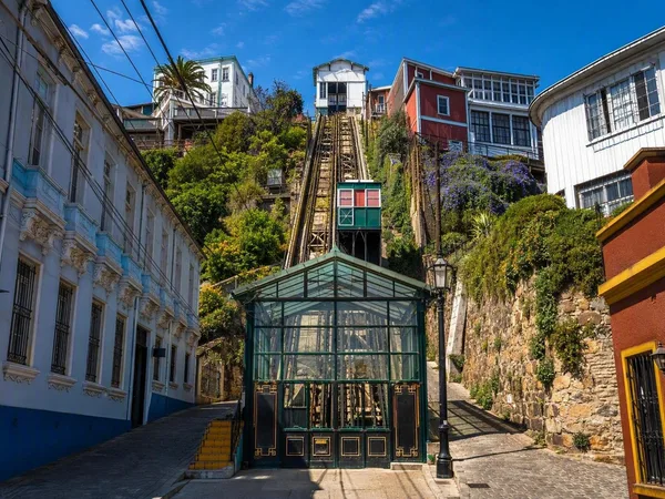
Cerro Alegre
1 linked stories and routes
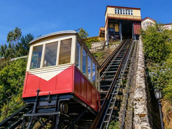
Ascensor Reina Victoria
1 linked stories and routes
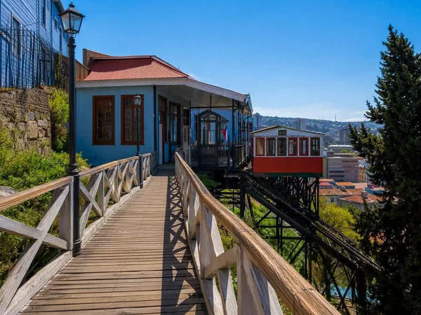
Paseo Dimalow
1 linked stories and routes

Rapa Nui
1 linked stories and routes
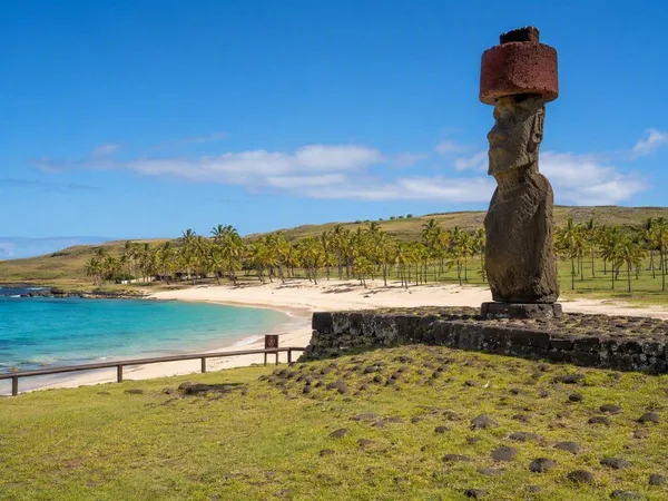
Anakena
1 linked stories and routes
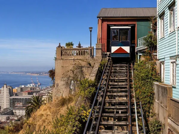
Ascensor Concepción
0 linked stories and routes
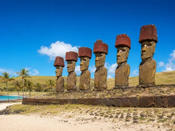
Ahu Nau Nau
0 linked stories and routes