
Nature area · Uruguay
Río de la Plata
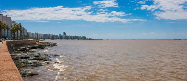
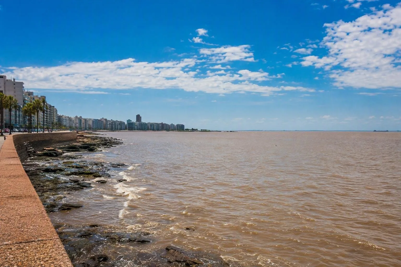
The Río de la Plata is the vast estuary between Uruguay and Argentina, where the Paraná and Uruguay rivers meet the South Atlantic. Montevideo stands on its northern shore, facing a horizon that looks like sea but is shaped by river water, sediment and wind.
What it is
Río de la Plata means “River of Silver,” but its geography is best understood as an estuary. The Paraná and Uruguay rivers feed this broad, shallow water body, which opens eastward toward the Atlantic and forms the boundary between Uruguay and Argentina.
It is about 290 km long and reaches roughly 220 km across at its outer end. From the Uruguayan shore, the opposite coast is usually beyond sight. That scale explains Montevideo’s maritime-looking horizon, although this is not simply ocean.
Water, wind and colour
Fresh river water meets saltier Atlantic water here. The mix changes along the estuary and with river flow, tide and wind. Near Montevideo and Canelones, water can range from fresh to brackish and vary sharply in clarity.
Fine sediment carried chiefly by the Paraná gives the water its familiar beige, brown or grey cast. Do not expect clear-blue Atlantic water. Wind also matters: this is a microtidal estuary, but strong weather systems can alter water level and conditions along the coast.
The Uruguayan shore
Uruguay has around 452 km of Río de la Plata coast, across Colonia, San José, Montevideo and Canelones. The shore changes character as you travel east:
- Colonia and Canelones: mostly sandy beaches.
- San José: bluffs and abrupt coastal edges in places.
- Montevideo: rocky points and reefs alternating with urban beaches.
- Toward Punta del Este: the Atlantic influence becomes progressively stronger; Punta del Este marks the estuary’s outer limit on the Uruguayan side.
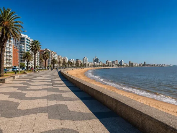
Montevideo is the most direct place to read the estuary. The Rambla combines continuous public waterfront paths, beaches, rocky edges and open views across the water.
How to experience it
Treat the Río de la Plata as a coastal landscape rather than a single attraction with an entrance. Walk or cycle stretches of the Rambla in Montevideo; use beaches and headlands to compare sheltered bays with exposed water; or follow the shoreline west toward Colonia or east through Ciudad de la Costa.
For a clear sense of its scale, choose a long, unobstructed waterfront section rather than a harbour basin. The view is strongest where pavement, low shore and open water meet, particularly around Montevideo’s southern waterfront.
Useful context
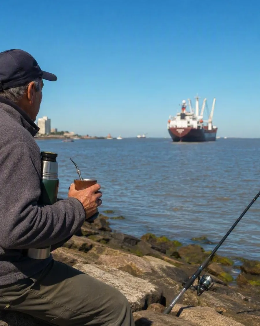
The estuary is a working waterway as well as a public coast. Major ports, marked navigation channels and dredged routes serve Montevideo, Buenos Aires and the inland river system. Keep well clear of port infrastructure and do not interpret the open horizon as an unregulated sea route.
Conditions at the water’s edge are variable. Wind, waves, runoff and sediment affect visibility and water quality; use designated beaches and follow local notices when entering the water.
From the magazine
Stories about Río de la Plata
Editorial stories linked directly to Río de la Plata.
Routes from our editors
Travel through Río de la Plata
Editorial routes connecting Río de la Plata with other countries, cities and hotspots.
No routes through Río de la Plata have been published yet.
More in Uruguay
Related hotspots
Other cities, nature areas and places within Uruguay.
Montevideo
1 linked stories and routes
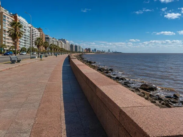
Rambla Sur
1 linked stories and routes
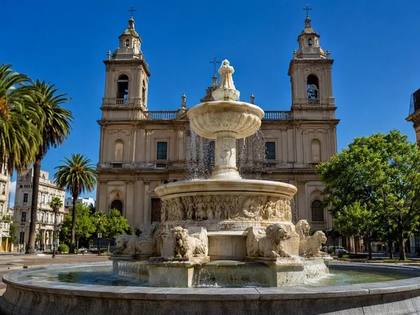
Ciudad Vieja, Montevideo’s Old City
1 linked stories and routes
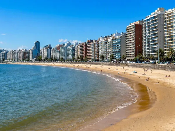
Pocitos
1 linked stories and routes
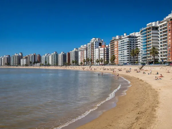
Playa Pocitos
1 linked stories and routes
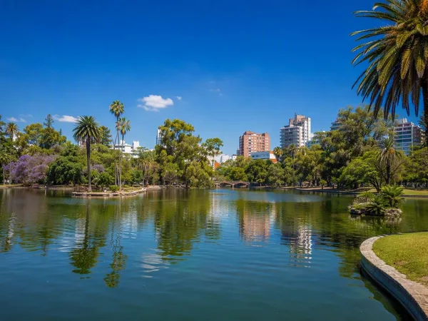
Parque Rodó
1 linked stories and routes
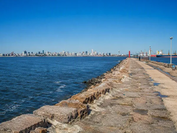
Escollera Sarandí
1 linked stories and routes
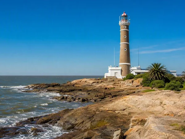
Punta Carretas
1 linked stories and routes
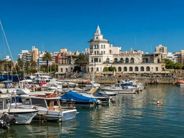
Buceo, Montevideo
1 linked stories and routes
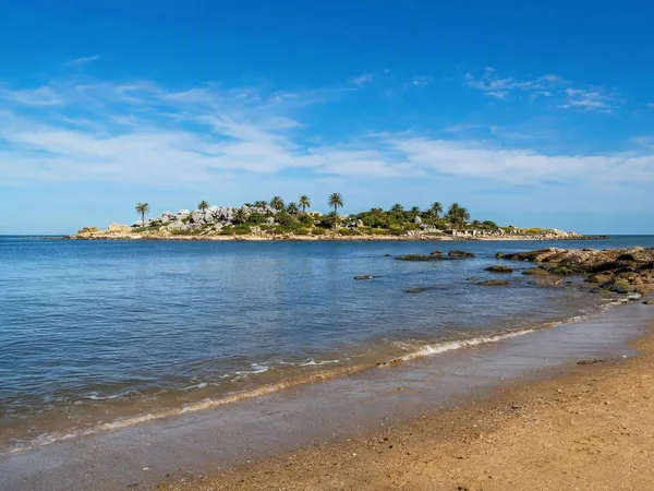
Malvín, Montevideo
1 linked stories and routes
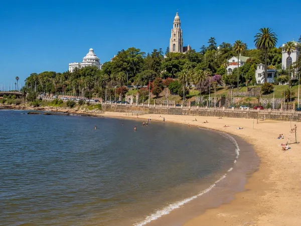
Playa Ramírez
1 linked stories and routes
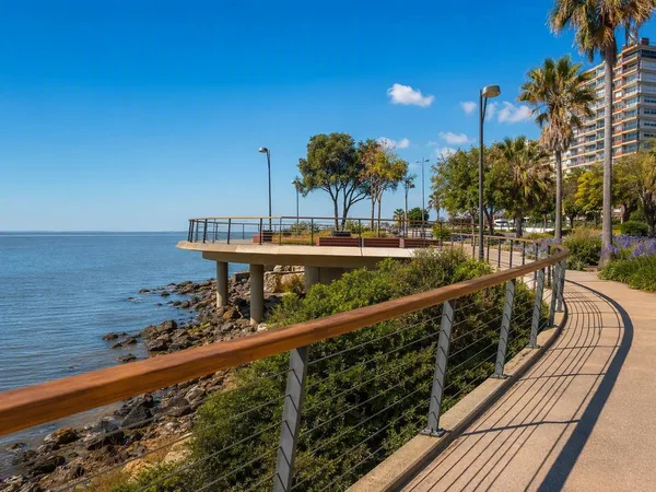
Paseo Verde
1 linked stories and routes
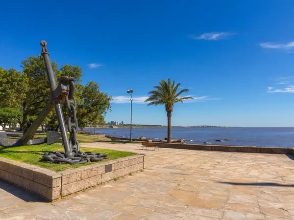
Punta Gorda, Montevideo
0 linked stories and routes
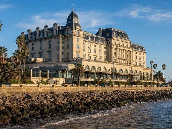
Carrasco, Montevideo
0 linked stories and routes
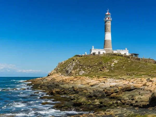
Cabo Polonio
0 linked stories and routes
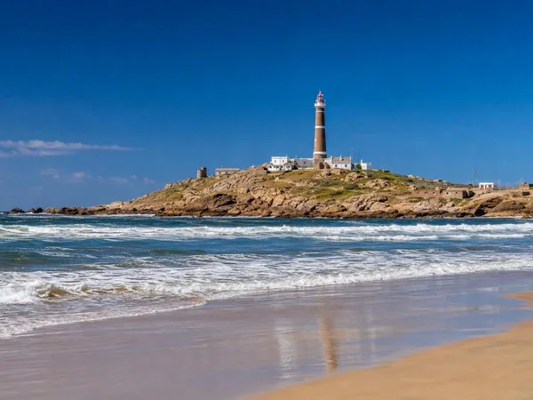
Playa Sur, Cabo Polonio
0 linked stories and routes