
Neighbourhood · Uruguay
Pocitos
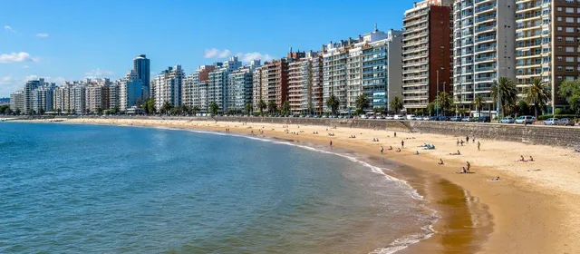
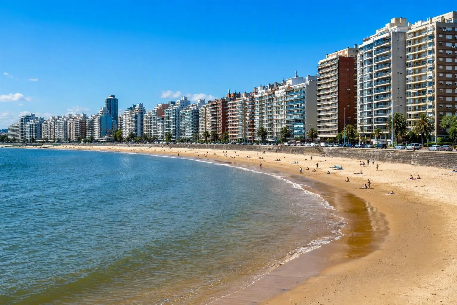
Pocitos is Montevideo’s dense waterfront neighbourhood on the Río de la Plata, centred on its crescent-shaped urban beach and the Rambla República del Perú.
Orientation
Pocitos is a residential barrio on Montevideo’s southern waterfront. Its defining scene is direct and unmistakable: Playa de los Pocitos curves along the Río de la Plata, the Rambla runs beside it, and apartment towers rise immediately behind the road.
This is an urban beach rather than a separate resort. Come for the combination of sand, promenade and everyday city life; the inland grid adds cafés, shops and residential streets.
The waterfront
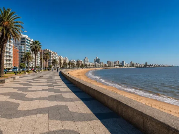
The main public axis is Rambla República del Perú, alongside Playa de los Pocitos. Walk its length to read the neighbourhood properly: beach on one side, dense housing on the other.
- Playa de los Pocitos: the broad sandy bay is used for sunbathing, swimming and beach sports in the warmer months.
- Rambla: a level route for walking, running and cycling, with open estuary views.
- Kibón end: the eastern end of the beach leads toward Buceo and the large MONTEVIDEO letters.
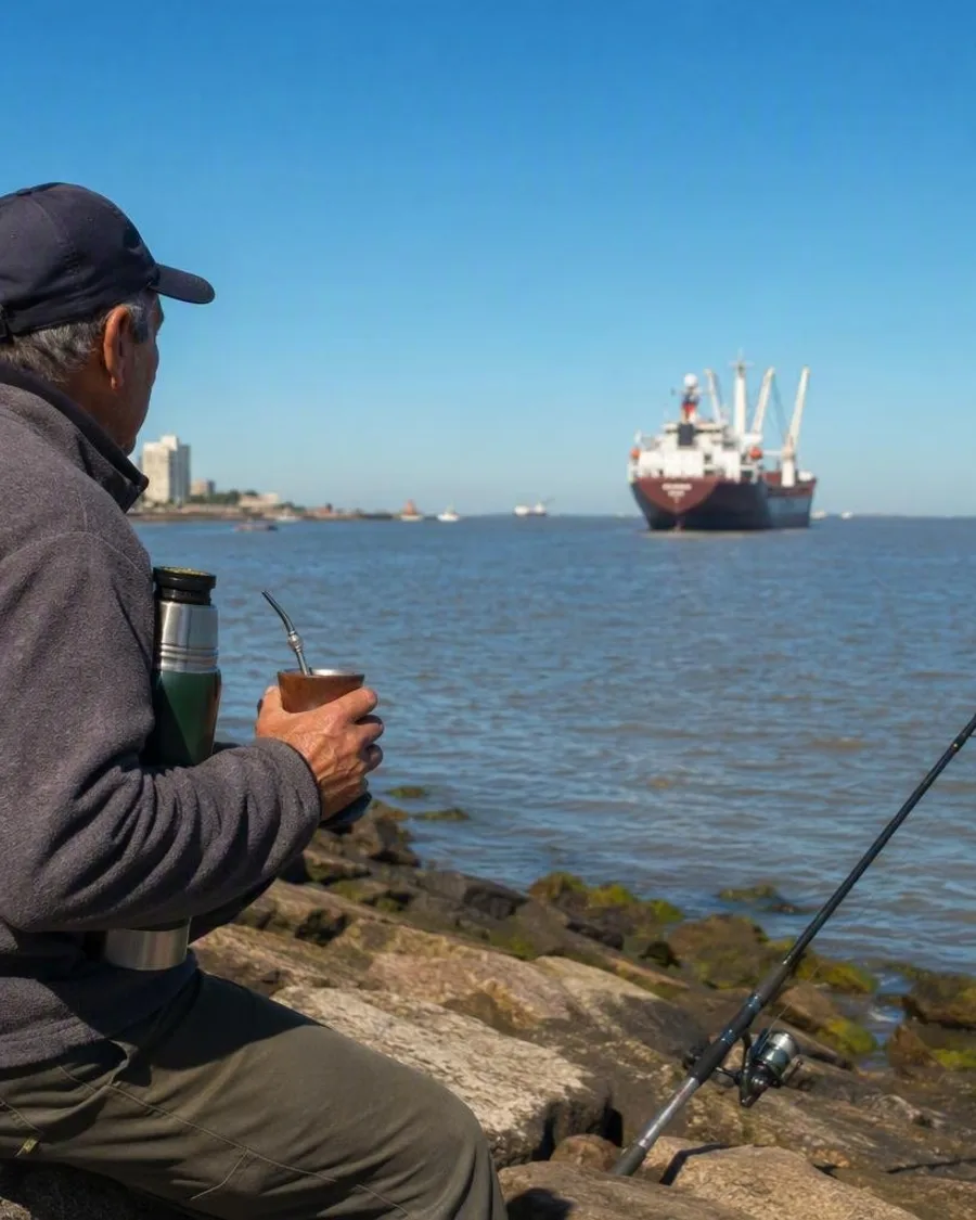
The water belongs to the Río de la Plata estuary, not the open ocean. If swimming, use the designated bathing area and follow current beach flags and water-condition notices.
A practical walk
Start near Plaza Tomás Gomensoro at the western side of the beach. The square has an upper terrace and a lower level reached by steps; its circular pergola and brick paths make a useful break from the exposed waterfront.
Continue east along the Rambla across the arc of the beach. This is the best route for seeing the relationship between Pocitos’ beach, road and apartment skyline. Finish at Kibón, or continue along the waterfront towards the small harbour at Buceo.
For a shorter visit, walk one direction and return by bus or taxi rather than treating the whole coast as a quick loop.
Inland Pocitos
Leave the Rambla for the streets behind it when you want food, coffee or a more residential perspective. Avenida Brasil and the area around Benito Blanco are useful connectors. The neighbourhood developed from a former seaside settlement into a permanent residential district; that change explains the contrast between scattered older houses inland and the taller waterfront blocks.
The name Pocitos refers to the small wells once dug in the sand by washerwomen using fresh water from the former stream.
Timing and conditions
Summer brings the strongest beach use and organised sports. Outside the bathing season, Pocitos still works well as a waterfront walk. Wind can make the Rambla feel markedly cooler than inland Montevideo, particularly in winter; bring a windproof layer for a long coastal walk.
From the magazine
Stories about Pocitos
Editorial stories linked directly to Pocitos.
Routes from our editors
Travel through Pocitos
Editorial routes connecting Pocitos with other countries, cities and hotspots.
No routes through Pocitos have been published yet.
More in Uruguay
Related hotspots
Other cities, nature areas and places within Uruguay.
Montevideo
1 linked stories and routes
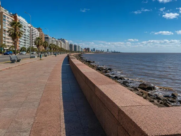
Rambla Sur
1 linked stories and routes
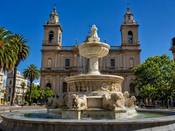
Ciudad Vieja, Montevideo’s Old City
1 linked stories and routes
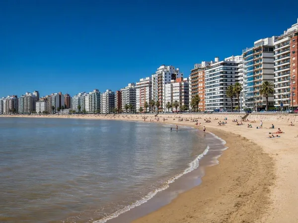
Playa Pocitos
1 linked stories and routes
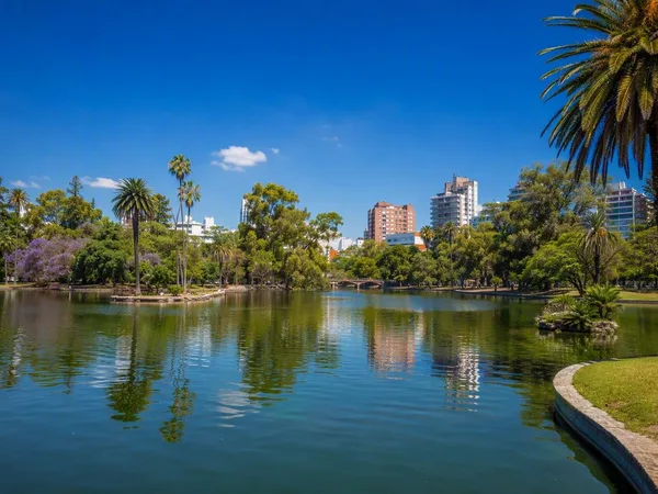
Parque Rodó
1 linked stories and routes
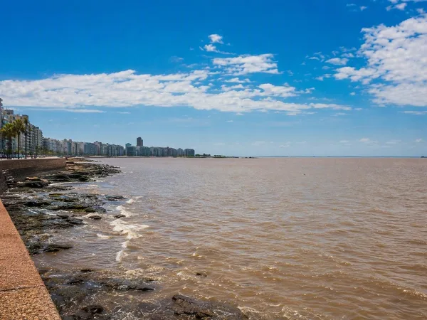
Río de la Plata
1 linked stories and routes
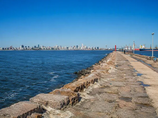
Escollera Sarandí
1 linked stories and routes
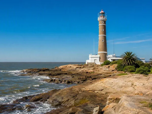
Punta Carretas
1 linked stories and routes
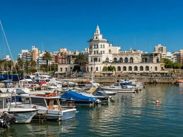
Buceo, Montevideo
1 linked stories and routes
Malvín, Montevideo
1 linked stories and routes
Playa Ramírez
1 linked stories and routes
Paseo Verde
1 linked stories and routes
Punta Gorda, Montevideo
0 linked stories and routes
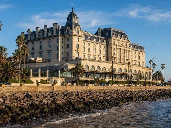
Carrasco, Montevideo
0 linked stories and routes
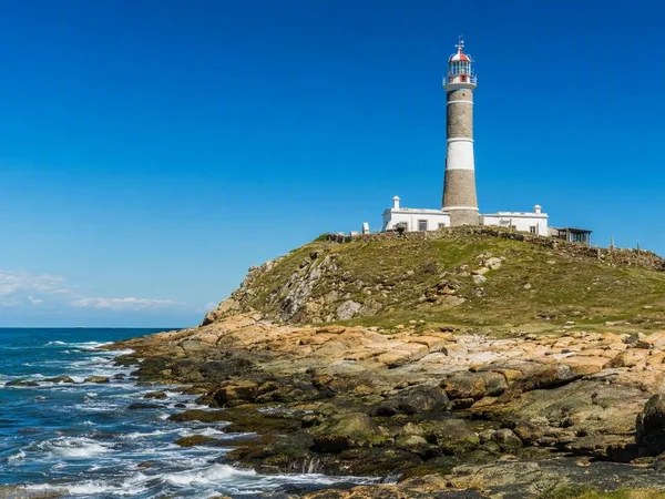
Cabo Polonio
0 linked stories and routes
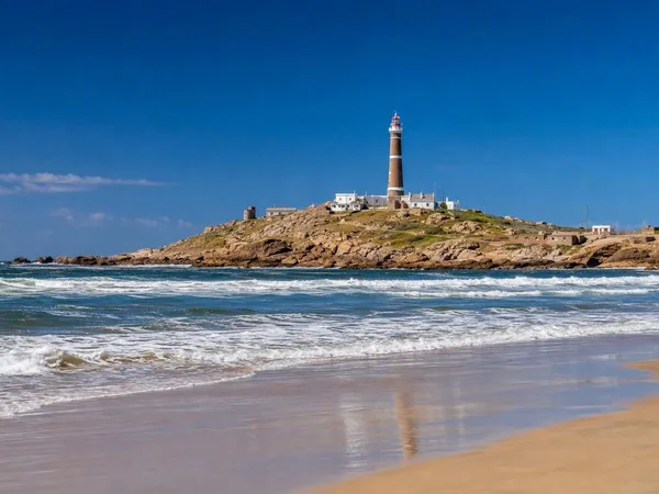
Playa Sur, Cabo Polonio
0 linked stories and routes