
Neighbourhood · Uruguay
Punta Gorda, Montevideo
Punta Gorda is a low-rise residential neighbourhood on Montevideo’s eastern Río de la Plata coast, between Malvín and Carrasco. Come for the promontory, small coves and the rambla rather than a dense sightseeing itinerary.
Orientation
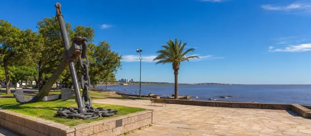
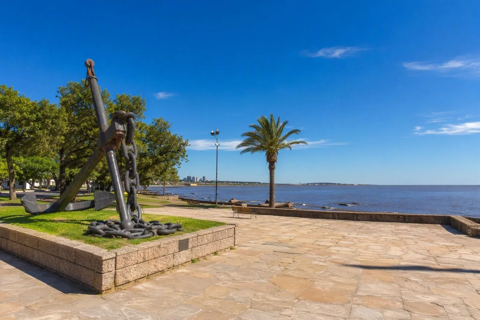
Punta Gorda occupies a wedge of Montevideo’s eastern waterfront, ending at a rocky promontory above the Río de la Plata. It is a residential district of houses, gardens and quiet streets, with little retail activity. The coast is the reason to visit: Rambla O’Higgins and Rambla República de México follow the shore past bluffs, small beaches and open water.
The district is best treated as a walking or cycling stretch of the larger Rambla, not as a separate beach resort. Bring water and anything else you need before arriving; services are limited away from Avenida Rivera.
The coastal circuit
Start at Plaza de la Armada, still widely called Plaza Virgilio. This cliff-top park marks the point of Punta Gorda and holds Eduardo Díaz Yepes’s bronze memorial to naval personnel who died in service. Its raised position makes it the clearest place to read the curve of the coastline and the broad estuary.
Walk west or east along the rambla for a changing sequence of stone, grass and sand. The small local beaches include:
- Playa de los Ingleses, below the plaza, with a compact sandy and rocky bay.
- Playa Verde, another small waterfront stop along the promenade.
- Playa Honda and La Mulata, smaller coves toward the Malvín side.
These are urban Río de la Plata beaches, not surf-and-service beaches. For a walk, the shore is the main event; do not assume facilities on every section.
Molino de Pérez
Near the Punta Gorda–Malvín edge, the stone Molino de Pérez sits in Parque Baroffio beside the old watercourse. The building began as an 18th-century structure and operated as a water-powered flour mill from about 1840 until flooding damaged it in 1895. Its stone base, restored wheel and milling story make it a useful counterpoint to the coastal views.
The mill has hosted cultural uses, but interior access and programming can vary. The exterior and surrounding park remain worthwhile on a rambla walk.
Getting there and around
A car, taxi or ride-hail makes Punta Gorda easy to reach from central Montevideo; buses also serve the wider area. On foot, link it with Malvín to the west or Carrasco to the east. The terrain around Plaza de la Armada includes slopes and bluffs, while the rambla itself is the simplest route for wheels.
Road note
The República de México section of the rambla has undergone road and drainage works around the curve between Araucana and 6 de Abril. Follow any temporary signs and diversions, particularly when driving westbound, and keep speeds low on the coastal curve.
From the magazine
Stories about Punta Gorda, Montevideo
Editorial stories linked directly to Punta Gorda, Montevideo.
No stories about Punta Gorda, Montevideo have been published yet.
Routes from our editors
Travel through Punta Gorda, Montevideo
Editorial routes connecting Punta Gorda, Montevideo with other countries, cities and hotspots.
No routes through Punta Gorda, Montevideo have been published yet.
More in Uruguay
Related hotspots
Other cities, nature areas and places within Uruguay.
Montevideo
1 linked stories and routes
Rambla Sur
1 linked stories and routes
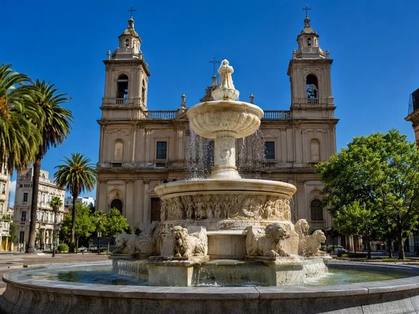
Ciudad Vieja, Montevideo’s Old City
1 linked stories and routes
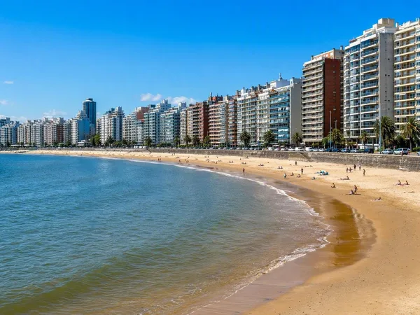
Pocitos
1 linked stories and routes
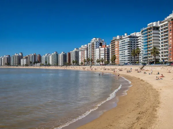
Playa Pocitos
1 linked stories and routes
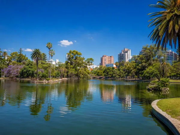
Parque Rodó
1 linked stories and routes
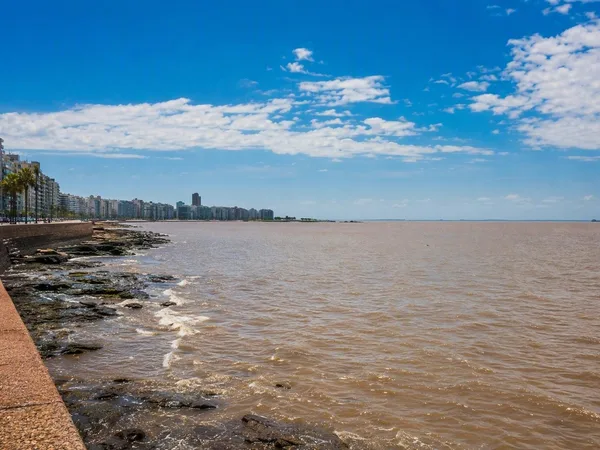
Río de la Plata
1 linked stories and routes
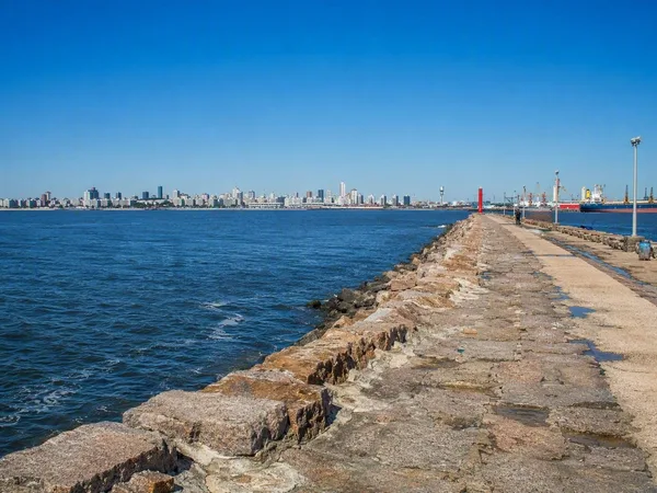
Escollera Sarandí
1 linked stories and routes
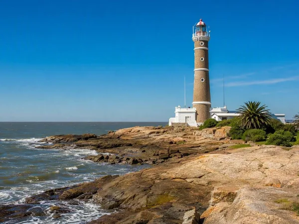
Punta Carretas
1 linked stories and routes
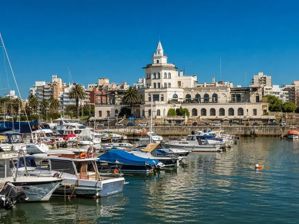
Buceo, Montevideo
1 linked stories and routes
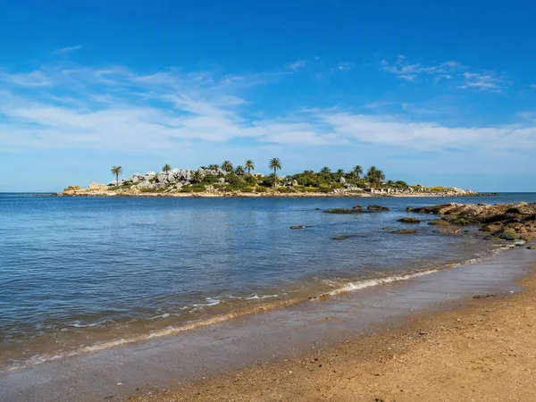
Malvín, Montevideo
1 linked stories and routes
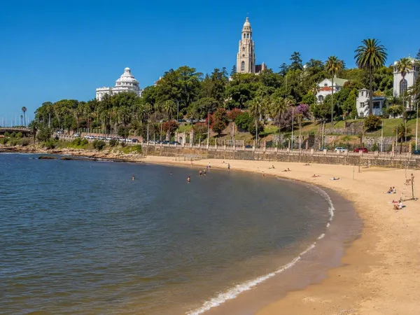
Playa Ramírez
1 linked stories and routes
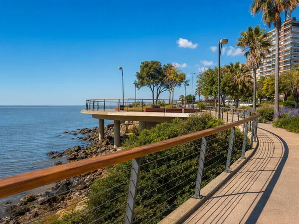
Paseo Verde
1 linked stories and routes
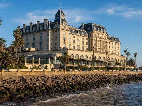
Carrasco, Montevideo
0 linked stories and routes
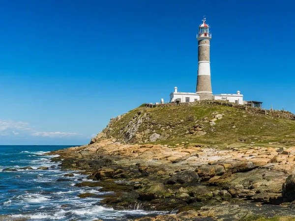
Cabo Polonio
0 linked stories and routes
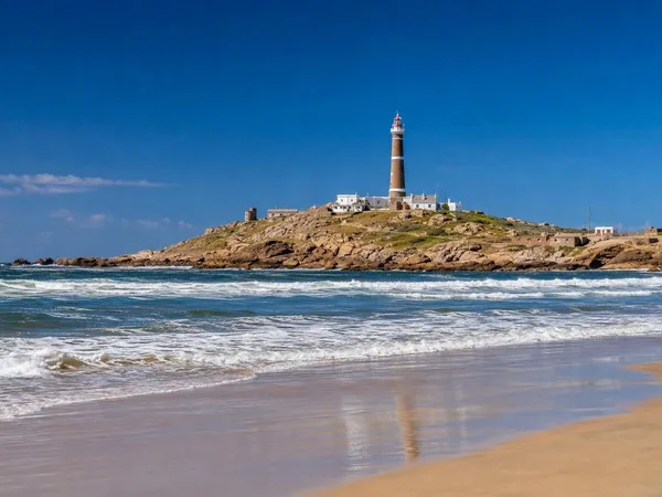
Playa Sur, Cabo Polonio
0 linked stories and routes