
Sight · Uruguay
Rambla Sur
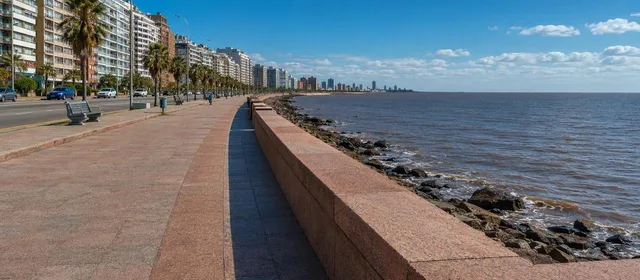
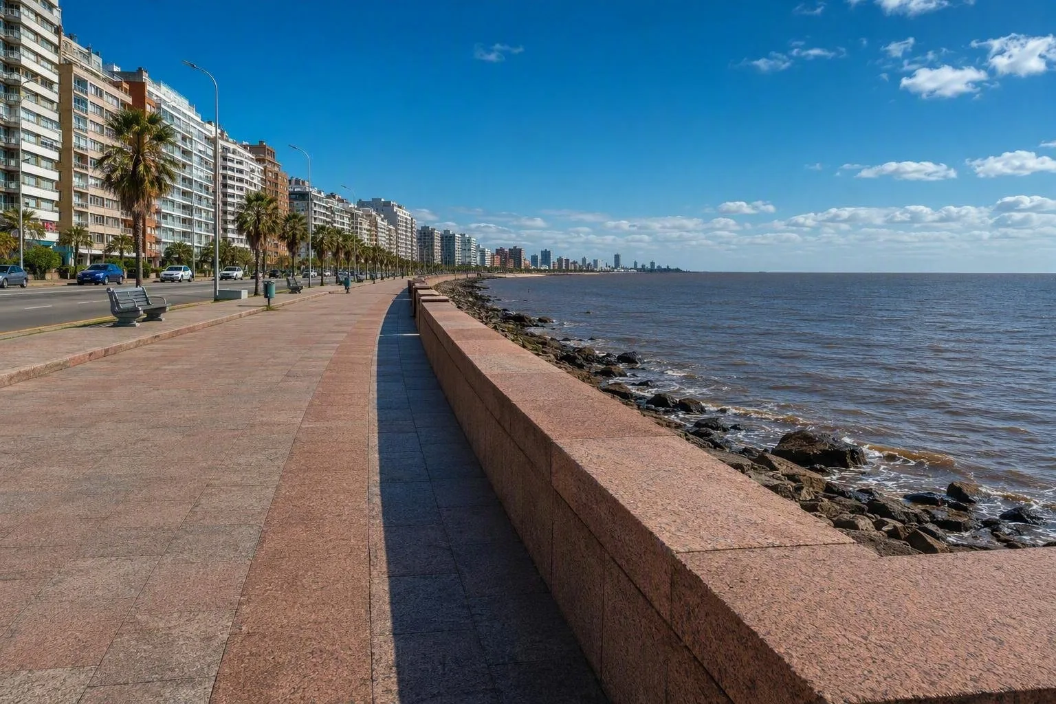
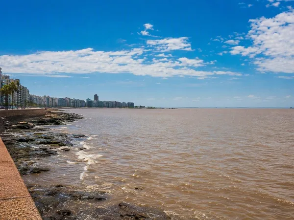
Rambla Sur is Montevideo’s historic Río de la Plata waterfront promenade between Escollera Sarandí and Jackson Street. Its broad pavement, red-granite seawall and river-facing terraces make it the city’s clearest lesson in engineered coastline.
Orientation
Rambla Sur is the western historic section of Montevideo’s waterfront road and promenade. It begins by Escollera Sarandí, at the southern edge of Ciudad Vieja, and runs east past Barrio Sur and Palermo towards Jackson Street and Parque Rodó.
This is a public urban shoreline, not a beach strip: a broad pavement, road lanes, grassy margins and a low river wall sit between the city and the Río de la Plata. Use it as a walking or cycling link between Ciudad Vieja, the central districts and Parque Rodó.
What to notice
The essential feature is the continuous red national-granite wall-bench along the water. Its pared-back construction—granite, concrete, long horizontal lines and regular openings—gives the route a deliberate early-20th-century character.
Four terraces project over the river. They are the best places to step away from the traffic corridor and read the scale of the shoreline. The water can look more like an open sea than a river; the opposite shore is normally beyond view.
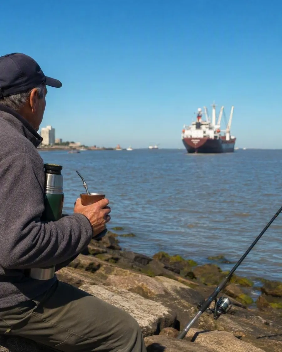
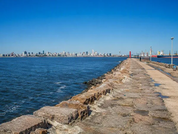
At the western end, Escollera Sarandí continues Sarandí Street out beside the port. It is a practical stop for watching ships enter the harbour and for seeing Ciudad Vieja from the water’s edge. Fishing is common there and at other points along the rambla.
A coastline made, not found
Construction began in 1923 and Rambla Sur officially opened in 1935. The works built a retaining wall, filled land along the shore and removed the Santa Ana and Patricio beaches. They also demolished El Bajo, a low-income waterfront neighbourhood.
That history matters because the promenade’s expansive surface is reclaimed ground, not a surviving natural waterfront. The project also created a fast connection between Ciudad Vieja and the coastal districts, a role the road still performs.
Walking and cycling
Walk the waterside pavement at your own pace; the most coherent short section is between Escollera Sarandí and the terraces around Barrio Sur. Continue east for the greener approach to Parque Rodó.
A 4.7-kilometre cycleway follows the south, waterside edge from Escollera Sarandí towards the fishing clubs near Parque Rodó. Keep out of the cycle lane when walking, and do not treat the road as part of the promenade.
Access and street sense
Rambla Sur is open public space with no entry ticket or gate. It is served by the city street network, with Ciudad Vieja providing the most useful starting point for a walk.
Important: this remains a multi-lane traffic route. Use marked or signalised crossings, especially where you move between the city side and the water. Vehicle lanes beside the cycleway have lower posted limits than other lanes, but the road still demands attention.
From the magazine
Stories about Rambla Sur
Editorial stories linked directly to Rambla Sur.
Routes from our editors
Travel through Rambla Sur
Editorial routes connecting Rambla Sur with other countries, cities and hotspots.
No routes through Rambla Sur have been published yet.
More in Uruguay
Related hotspots
Other cities, nature areas and places within Uruguay.
Montevideo
1 linked stories and routes
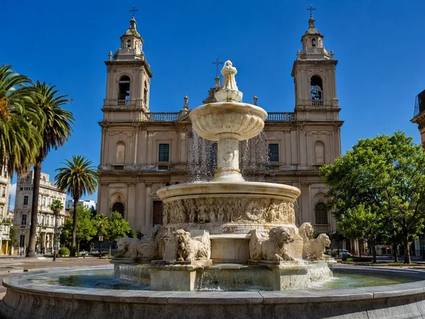
Ciudad Vieja, Montevideo’s Old City
1 linked stories and routes
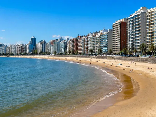
Pocitos
1 linked stories and routes
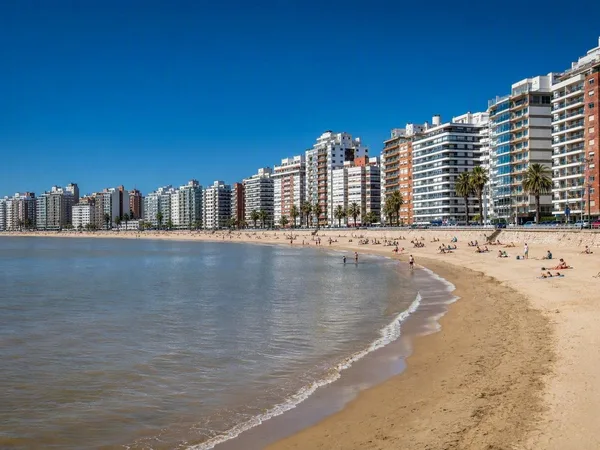
Playa Pocitos
1 linked stories and routes
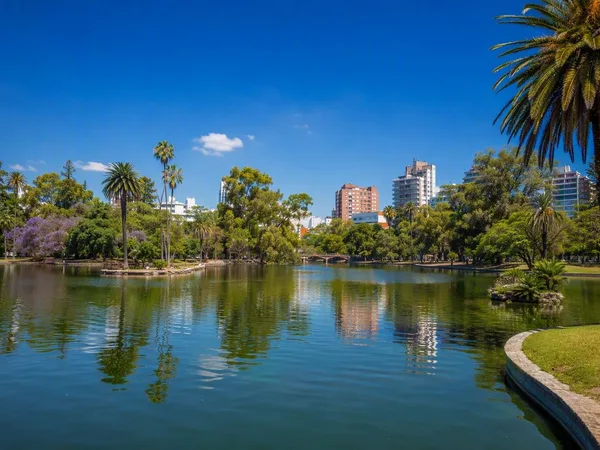
Parque Rodó
1 linked stories and routes
Río de la Plata
1 linked stories and routes
Escollera Sarandí
1 linked stories and routes
Punta Carretas
1 linked stories and routes
Buceo, Montevideo
1 linked stories and routes
Malvín, Montevideo
1 linked stories and routes
Playa Ramírez
1 linked stories and routes
Paseo Verde
1 linked stories and routes
Punta Gorda, Montevideo
0 linked stories and routes
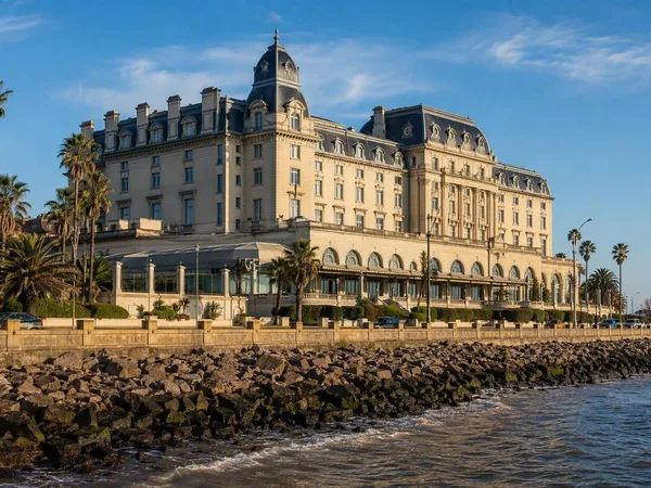
Carrasco, Montevideo
0 linked stories and routes
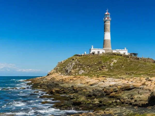
Cabo Polonio
0 linked stories and routes
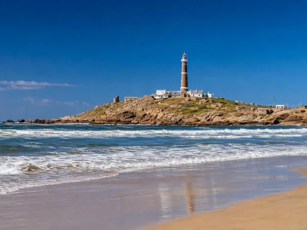
Playa Sur, Cabo Polonio
0 linked stories and routes