
Town · Uruguay
Cabo Polonio
Cabo Polonio is a small Atlantic coastal settlement in Uruguay’s Rocha Department, set inside a national park behind a broad field of dunes. Its landmark lighthouse, rocky sea-lion coast and car-free arrival define the place.
Orientation
Cabo Polonio sits on Uruguay’s Atlantic coast in Rocha Department, within Cabo Polonio National Park. It is a compact settlement of simple houses linked by sandy, uneven paths rather than streets. The setting is unusually exposed: beaches and dunes meet a rocky headland facing the Islas de Torres.
This is a working settlement within a protected landscape, not a resort built around road access. The lack of public electricity and piped water is part of the basic infrastructure reality, so overnight stays are deliberately simple.
Arrival across the dunes
Private cars do not enter the park. Travel to Puerta del Polonio, at Route 10 km 264.5, leave a vehicle there if needed, then continue in an authorised all-terrain vehicle across the dune fields. The crossing takes roughly 20 minutes.
Walking in is also possible, but it is a serious sandy route rather than a roadside stroll. Carry water, protect yourself from sun and wind, and travel light. The beach and paths are the local transport network once you arrive.
Important: tents and pets are not permitted in the national park.
The cape and lighthouse
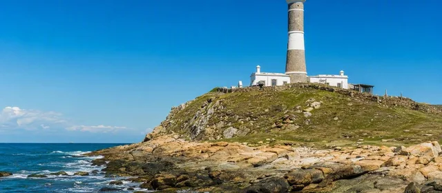
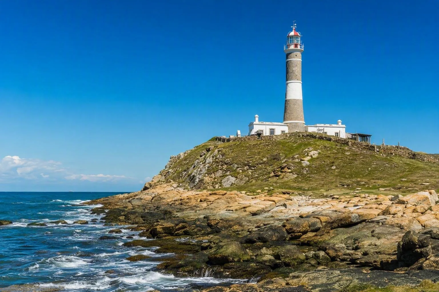
Walk from the village to the Faro de Cabo Polonio, the stone lighthouse on the headland. Built in 1881 and designated a national historic monument in 1976, it is the physical anchor of the settlement and a useful way to read the terrain: dunes, village, beaches, rocky shoreline and the offshore islands all meet here.
The tower has 132 steps. Its visitor access is limited to set days and hours, so treat a climb as an optional extra rather than the foundation of the day. From the cape, stay on established viewing areas around the rocks.
Sea lions and shore walks
A permanent sea-lion colony occupies the rocks by the lighthouse and offshore islands. Watch from shore without approaching or trying to cross onto the rocks. The colony is a defining feature of Cabo Polonio, not a beachside photo stop.
For a longer walk, follow the coast south toward Playa Sur or north toward La Calavera. Conditions are Atlantic and exposed; wind and surf can be forceful. Beaches here work best for walking, looking and taking the day at the pace set by the weather.
Staying practical
Services exist but are limited. Bring the essentials you will need for the day, including drinking water and a charged phone or power bank. Expect sand underfoot everywhere and little shade on the approach and beaches. Pack a wind layer even in warmer months.
If returning the same day, establish the last authorised vehicle departure before setting out around the cape. The transport timetable is the one fixed point in a place designed to remain lightly built.
From the magazine
Stories about Cabo Polonio
Editorial stories linked directly to Cabo Polonio.
No stories about Cabo Polonio have been published yet.
Routes from our editors
Travel through Cabo Polonio
Editorial routes connecting Cabo Polonio with other countries, cities and hotspots.
No routes through Cabo Polonio have been published yet.
More in Uruguay
Related hotspots
Other cities, nature areas and places within Uruguay.
Montevideo
1 linked stories and routes
Rambla Sur
1 linked stories and routes
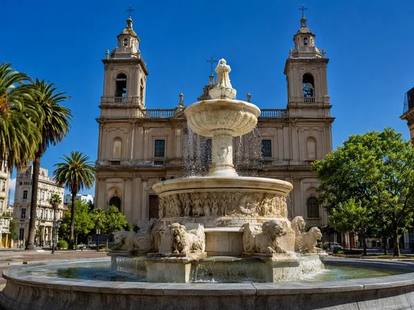
Ciudad Vieja, Montevideo’s Old City
1 linked stories and routes
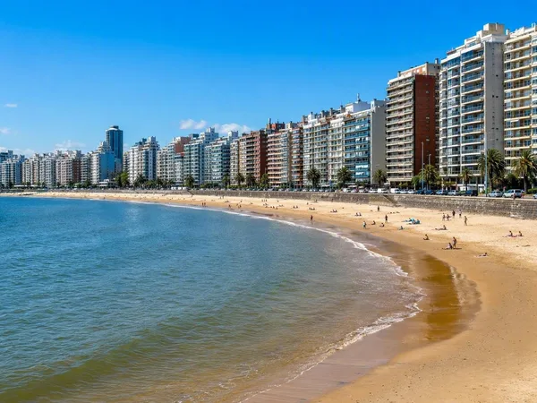
Pocitos
1 linked stories and routes
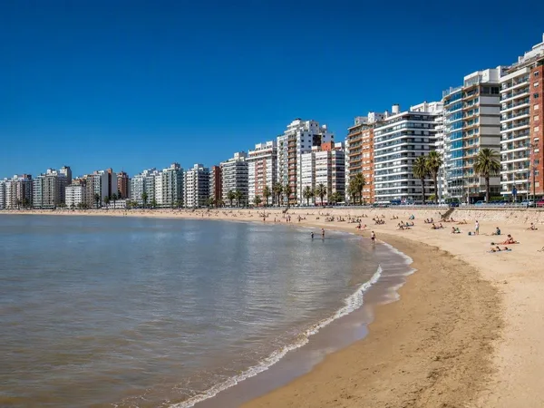
Playa Pocitos
1 linked stories and routes
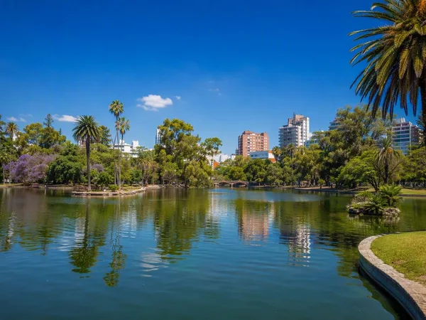
Parque Rodó
1 linked stories and routes
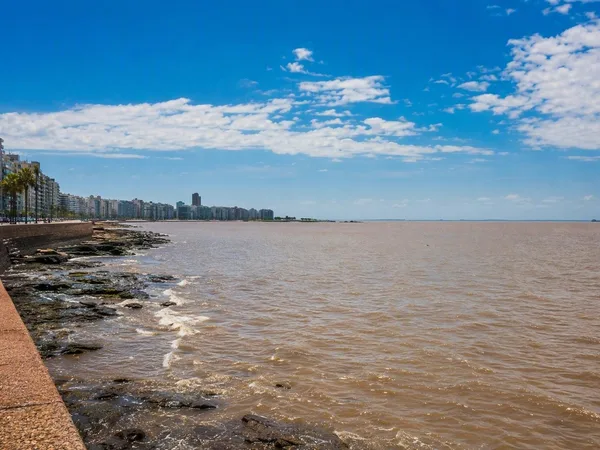
Río de la Plata
1 linked stories and routes
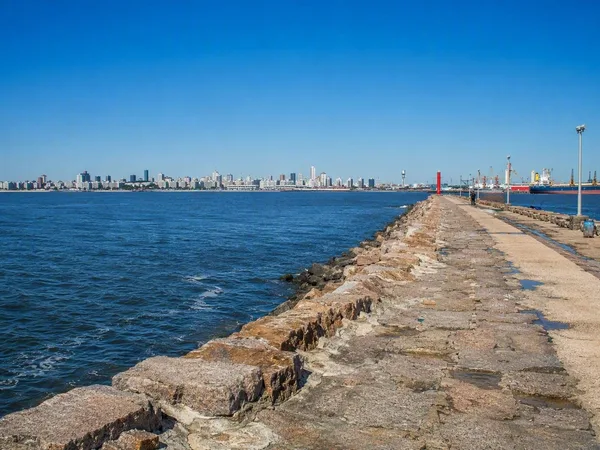
Escollera Sarandí
1 linked stories and routes
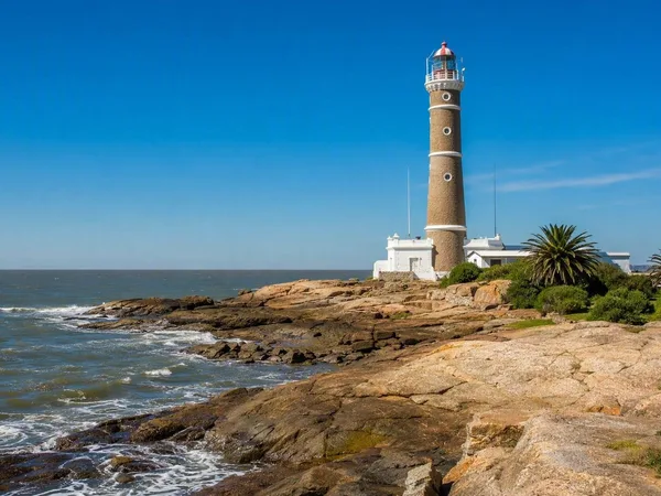
Punta Carretas
1 linked stories and routes
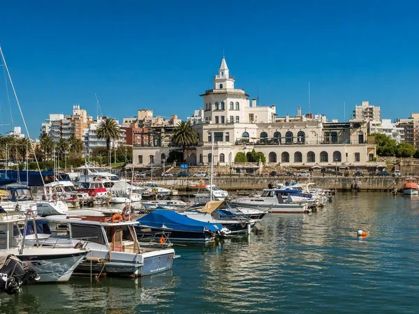
Buceo, Montevideo
1 linked stories and routes
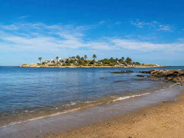
Malvín, Montevideo
1 linked stories and routes
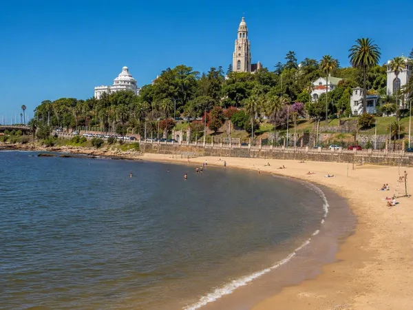
Playa Ramírez
1 linked stories and routes
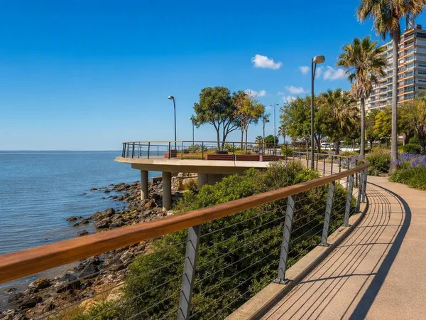
Paseo Verde
1 linked stories and routes
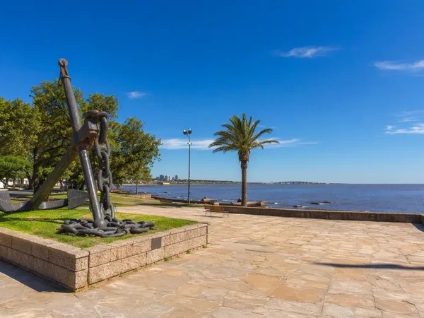
Punta Gorda, Montevideo
0 linked stories and routes
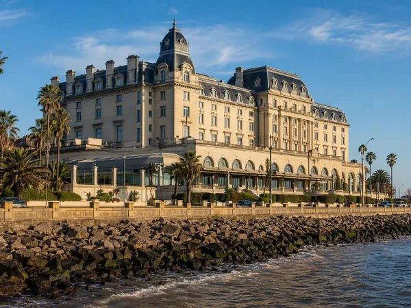
Carrasco, Montevideo
0 linked stories and routes
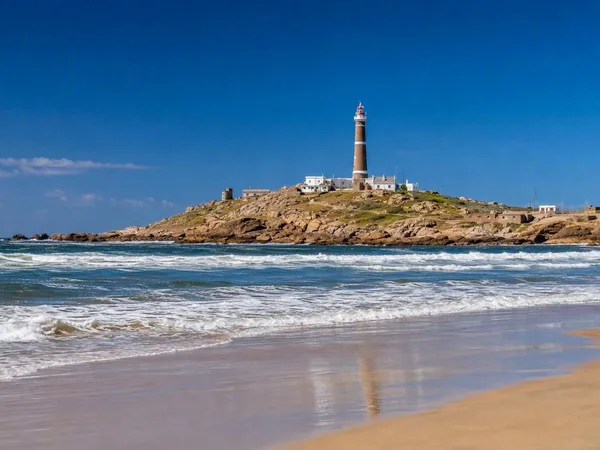
Playa Sur, Cabo Polonio
0 linked stories and routes