
Neighbourhood · Uruguay
Malvín, Montevideo
Malvín is a coastal neighbourhood in eastern Montevideo, Uruguay, between Buceo and Punta Gorda. Its defining features are Rambla O’Higgins, Playa Malvín and the offshore rocks of Isla de las Gaviotas.
Orientation
Malvín faces the Río de la Plata on Montevideo’s eastern waterfront. Buceo lies to the west, Punta Gorda to the east and Malvín Norte inland. The coast is the reason to come: Rambla O’Higgins runs beside the water, linking a broad public promenade with sand, rocks and residential streets behind it.
This is a neighbourhood rather than a concentrated sightseeing district. Treat the rambla and beach as the main route, then turn inland for the quieter, green residential fabric. Do not confuse Malvín with the separate neighbourhood of Malvín Norte.
The waterfront
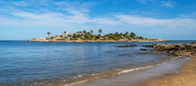
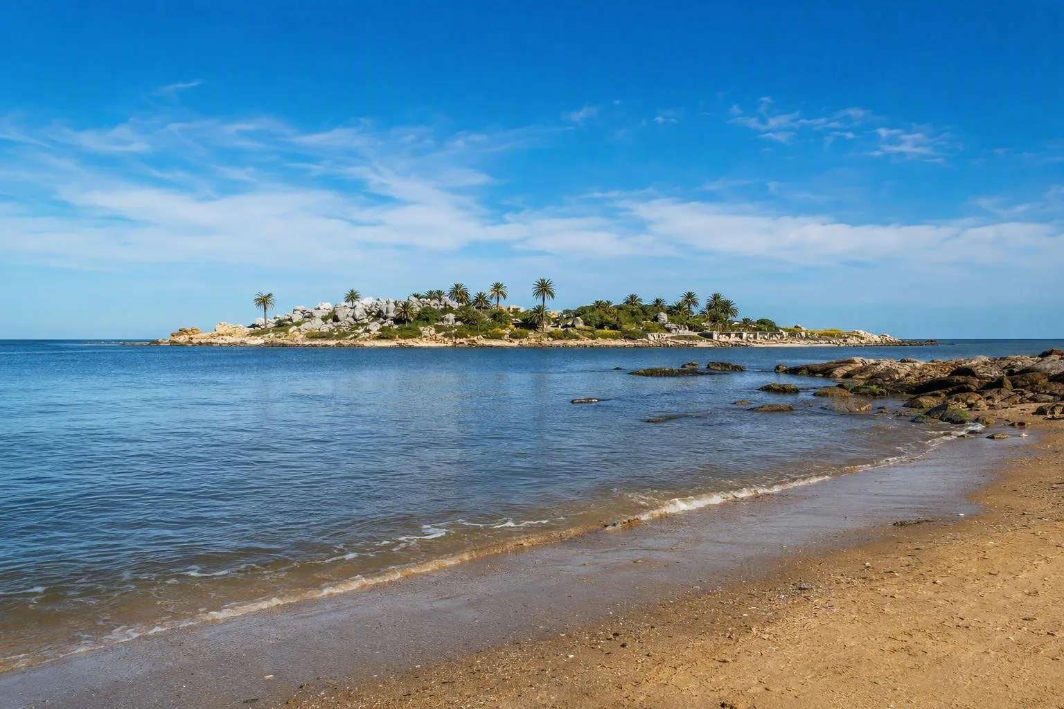
Playa Malvín is the central stop: a wide sandy beach with a direct view across the water to Isla de las Gaviotas. The small rocky islet is the unmistakable landmark in the seascape; view it from shore rather than treating it as a day-trip destination.
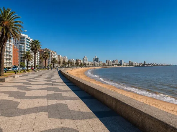
Walk the Rambla O’Higgins in either direction to see how the shoreline changes between open beach, rocky edges and planted verges. It is a useful stretch for a simple coastal walk or cycle ride, and it connects naturally with the wider Montevideo rambla.
The beach has a wooden access walkway to the sand. In the summer season, accessible chemical toilets are provided.
Isla de las Gaviotas
The islet offshore from Playa Malvín is a protected ecological reserve and a nesting habitat for birds. Its rocks and palms make a strong visual counterpoint to the low, open shore.
Important: landing on the island is not an informal excursion. Access requires authorization; admire it from Playa Malvín or the rambla and leave the reserve undisturbed.
Neighbourhood character
Malvín developed from a seasonal beach resort into a residential part of Montevideo. That history still explains its scale: the coast is public and open, while the streets behind it are largely homes, local institutions and gardens rather than a continuous tourist strip.
For a short visit, keep the plan simple:
- Start at Playa Malvín and identify the islet offshore.
- Follow Rambla O’Higgins east or west at an unhurried pace.
- Use the beach access facilities in season if needed.
- Continue to another coastal neighbourhood only after exploring Malvín itself; the waterfront is continuous, but each barrio has its own character.
Best timing
Choose daylight for the clearest view of Isla de las Gaviotas and for the beach-and-rambla circuit. Summer is the practical time for beach facilities. Outside the beach season, Malvín works best as a waterfront walk rather than a swimming stop.
From the magazine
Stories about Malvín, Montevideo
Editorial stories linked directly to Malvín, Montevideo.
Routes from our editors
Travel through Malvín, Montevideo
Editorial routes connecting Malvín, Montevideo with other countries, cities and hotspots.
No routes through Malvín, Montevideo have been published yet.
More in Uruguay
Related hotspots
Other cities, nature areas and places within Uruguay.
Montevideo
1 linked stories and routes
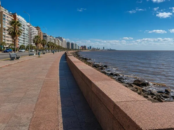
Rambla Sur
1 linked stories and routes
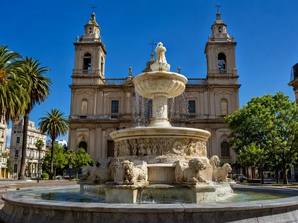
Ciudad Vieja, Montevideo’s Old City
1 linked stories and routes
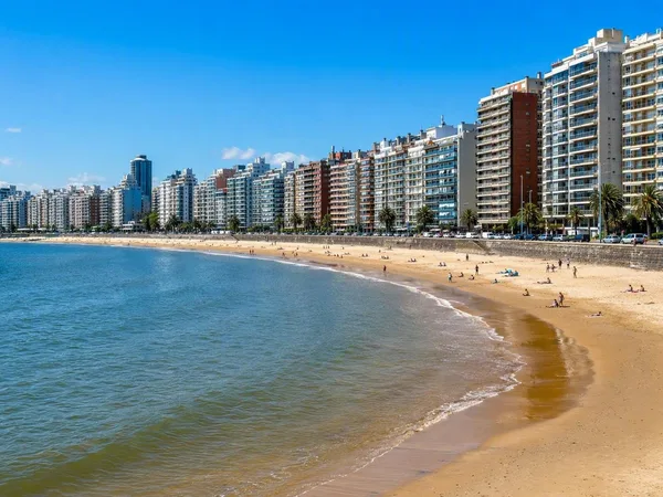
Pocitos
1 linked stories and routes
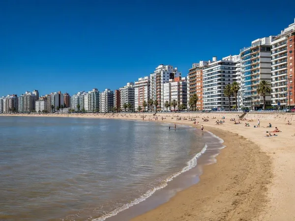
Playa Pocitos
1 linked stories and routes
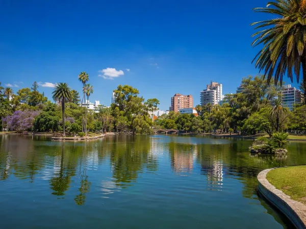
Parque Rodó
1 linked stories and routes
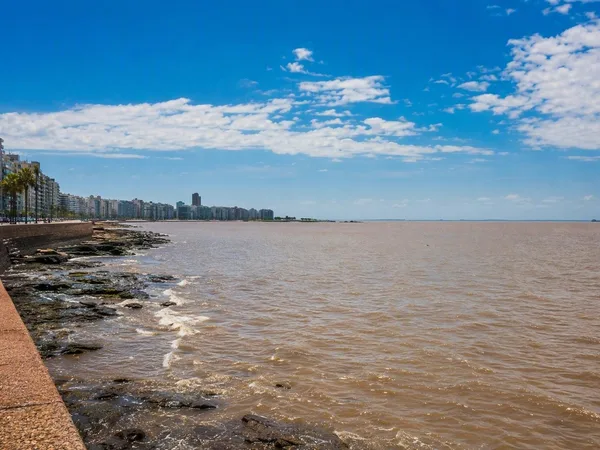
Río de la Plata
1 linked stories and routes
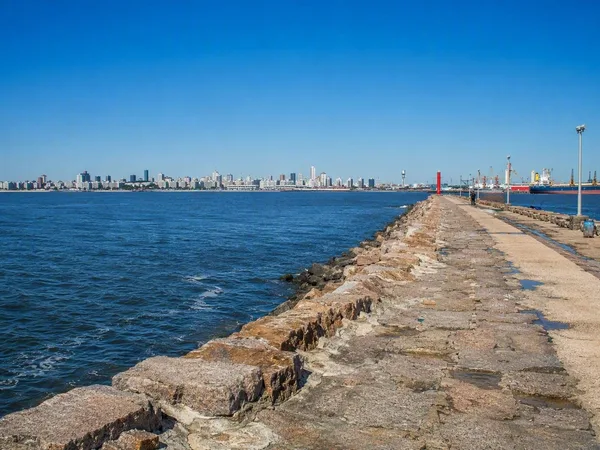
Escollera Sarandí
1 linked stories and routes
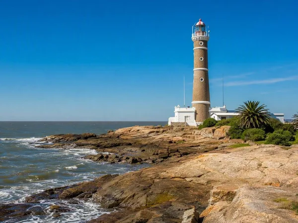
Punta Carretas
1 linked stories and routes
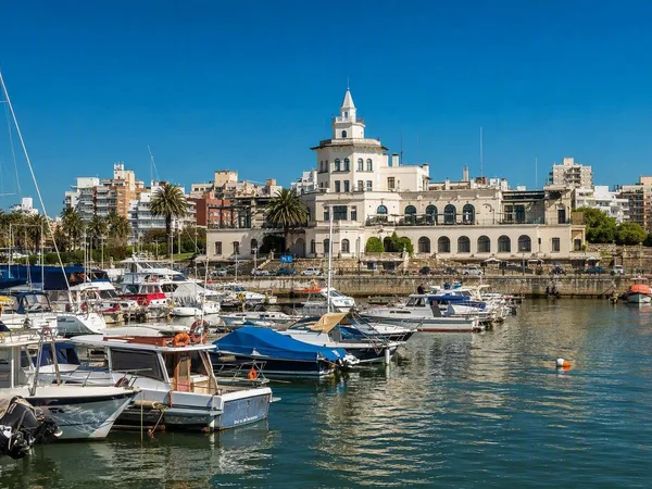
Buceo, Montevideo
1 linked stories and routes
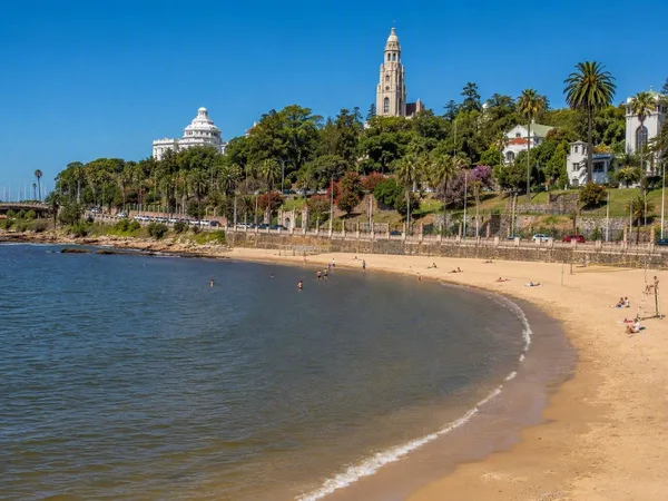
Playa Ramírez
1 linked stories and routes
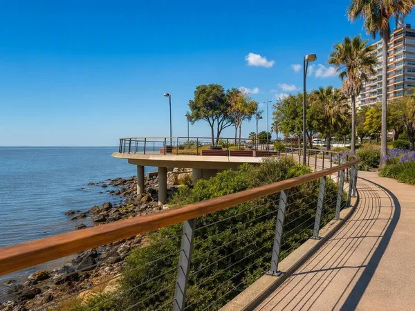
Paseo Verde
1 linked stories and routes
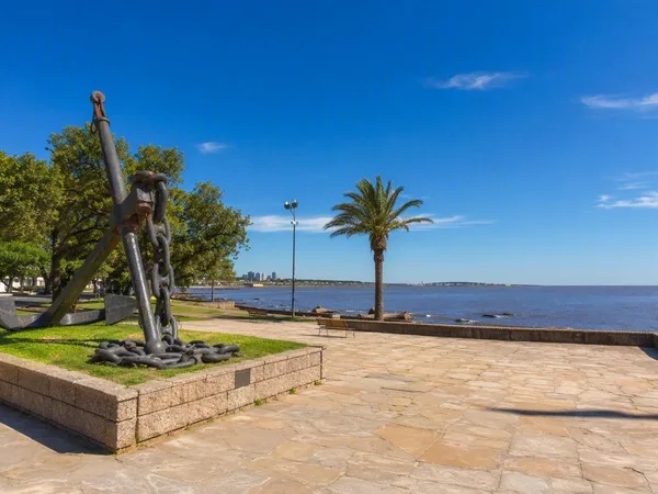
Punta Gorda, Montevideo
0 linked stories and routes
Carrasco, Montevideo
0 linked stories and routes
Cabo Polonio
0 linked stories and routes
Playa Sur, Cabo Polonio
0 linked stories and routes