Montevideo Carries Its Mate to the Water
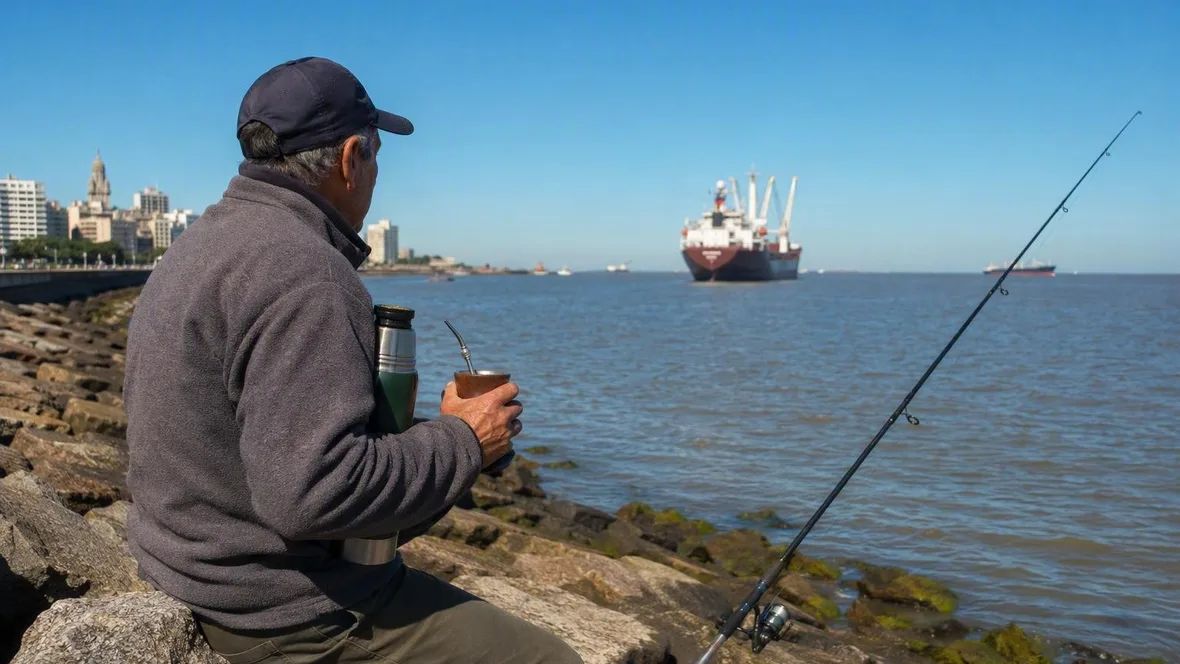
Along Montevideo’s waterfront, mate appears with its working kit: a small cup, a metal bombilla, and a thermos under the arm. The thermos keeps hot water available away from home, so mate can stay with a walk, a fishing session, or an afternoon beside the Río de la Plata.
Escollera Sarandí: fishing rods, ships and a thermos
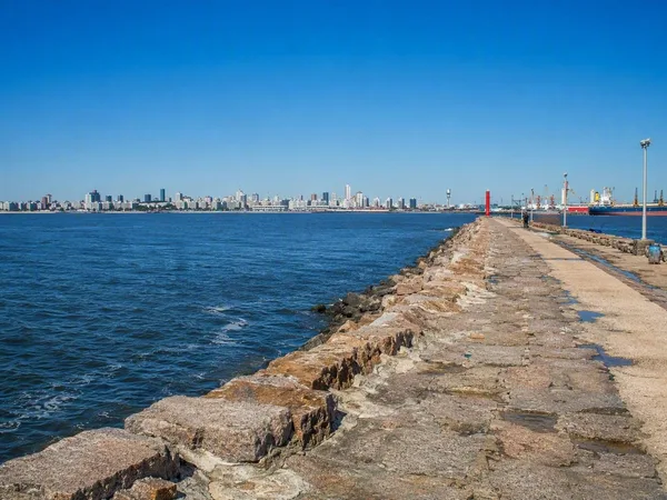
Escollera Sarandí extends into the water from the end of Ciudad Vieja. Fishers use the breakwater, with the harbour and arriving ships on one side and views across the bay towards the Cerro on the other.
Mate sits among those ordinary pursuits without taking over the scene. One person may carry a cup and thermos; a group may share a cup and bombilla in a ronda, passing it from one participant to the next. The cup usually circulates within an existing group, not as an automatic invitation to people nearby.
The kit is visible for a practical reason. Prepared mate has traditionally had little place on café and restaurant menus, so drinkers carry their own cup, yerba, and hot water rather than depend on a counter or waiter. Uruguayan magazines had already linked the thermos with mate on streets, beaches, and buses in the 1960s.
That portability matters more than folklore. Mate belongs to the wider Río de la Plata region, and indigenous practices have been reshaped by colonisation, gaucho imagery, and twentieth-century urban life. A cup on the rambla does not prove that every Uruguayan drinks mate, nor does it flatten the drink into a national costume. Images of mate have also carried assumptions about class, race, gender, and masculinity.
Rambla Sur made this public shoreline
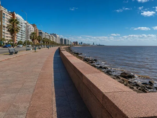
East of the old city, Rambla Sur runs beside broad pavements, low sitting walls, and terraces of rose-red granite. Traffic moves on the city side; on the water side, people walk, sit, cycle, and fish in open public space.
This edge was built, not simply inherited. Montevideo first grew around its harbour and across the peninsula, largely turning away from the southern shore. In the late nineteenth century, planners began to treat the Río de la Plata coast as an urban promenade. Separate waterfront stretches appeared near Parque Urbano, Pocitos, and Carrasco before later works joined them.
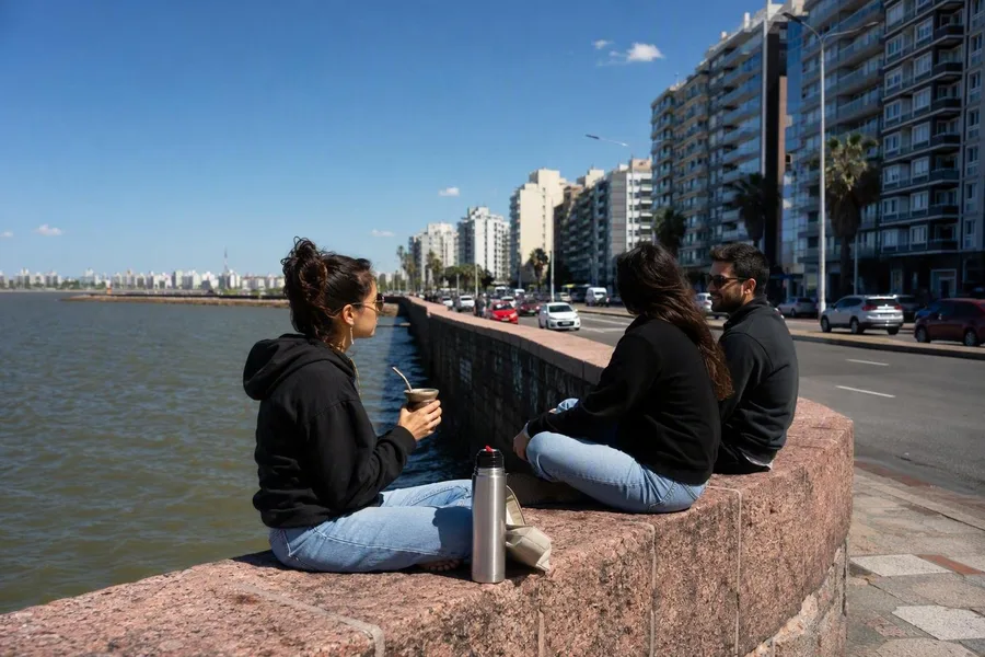 A small group sits with mate and a thermos on Rambla Sur’s granite wall.
Rambla Sur brought the most severe alteration. Juan P. Fabini’s 1922 plan set out a coastal road from Escollera Sarandí to Parque Rodó; the stretch opened in 1935 after reclamation and construction. Retaining walls and fill created new land, while the beaches of Santa Ana and Patricios disappeared. The works also demolished El Bajo, a poor waterfront neighbourhood, and displaced its residents.
The present-day promenade came from civic ambition, engineering, and removal. It now links central Montevideo to residential districts, beaches, parks, and clubs farther east. That continuous public shore gives a carried thermos a place beyond the kitchen or café.
The broad water beside the city
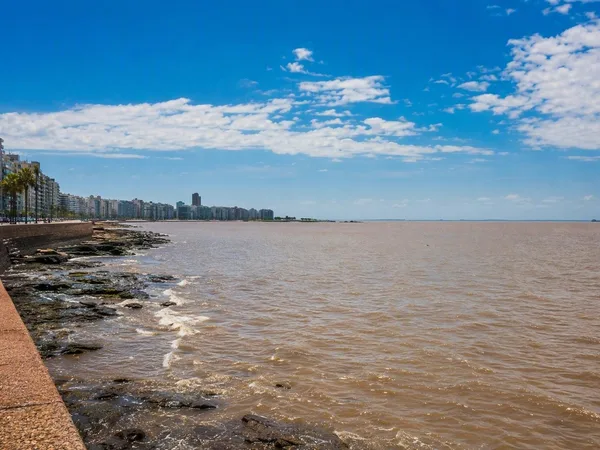
The Río de la Plata is not a narrow urban river. It is a shallow, funnel-shaped estuary where fresh and Atlantic waters mix, and it is already about 100 kilometres wide along the Montevideo–Punta Piedras line. The far bank does not frame this view.
Wind has more effect here than the modest tides. It can alter water level, shift suspended sediment, and move the boundary between fresher and saltier water. Fine silt and clay make the estuary naturally turbid, while waves can lift more sediment from the bottom. Its colour and clarity change with the conditions instead of holding a fixed postcard blue.
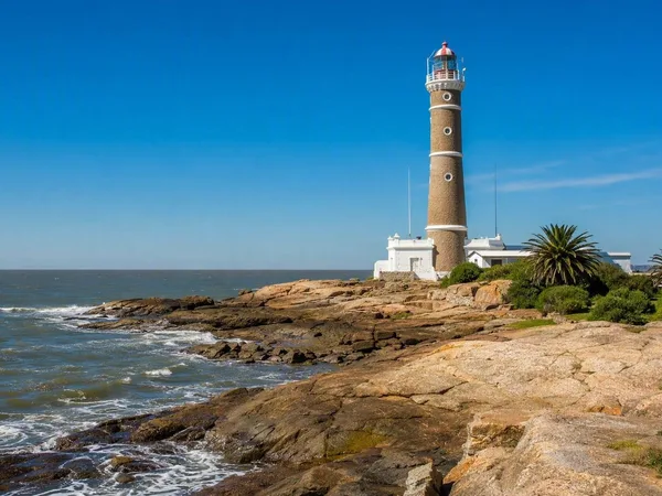
The coast changes as the rambla heads east. Rocky capes and reefs interrupt sandy beaches; piers, harbour basins, and the Rambla Sur wall create harder edges to the water. A cup and thermos can move from a wall to grass, sand, or a promenade without needing a table. Wind can remain noticeable even in summer, which makes the flask useful rather than merely emblematic.
Parque Rodó and the shared waterfront
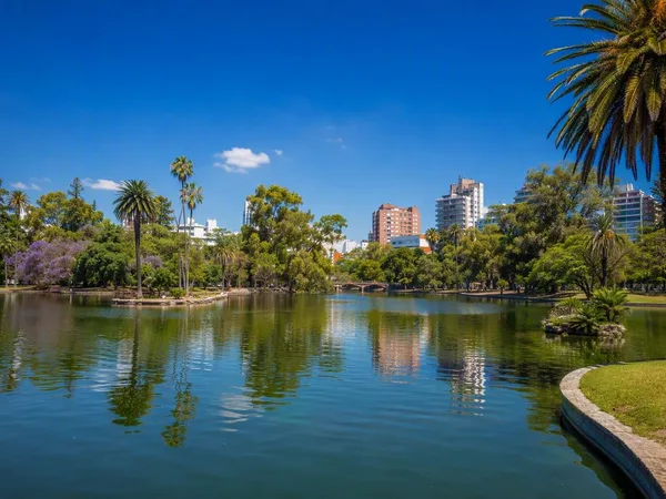
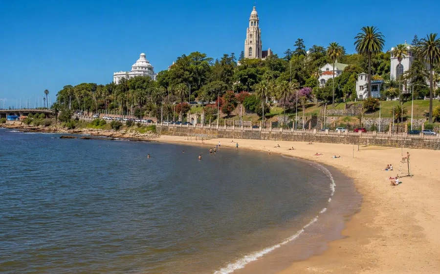
At Parque Rodó, Playa Ramírez, the park, the former quarries, and the Teatro de Verano sit close to the promenade. Walkers and cyclists use the same coastal strip as people who pause by the water.
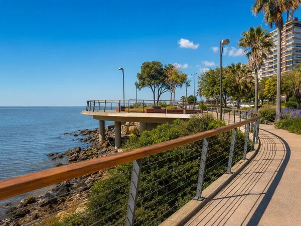
The former Paseo de los Pescadores reopened as Paseo Verde in 2024. A widened coastal path, planting, lighting, and a projecting urban balcony give pedestrians, cyclists, fishers, and small groups more room along Rambla Presidente Wilson. The nearby park, beach, and open water explain why people can stay outside with a thermos rather than stopping only briefly on a route through the city.
A shared ronda makes that use visible. One person pours, and the same cup moves through the group; someone alone can carry an individual set just as easily. Mate can accompany company or solitude. Neither requires a café terrace, and neither turns the rest of the rambla into an audience.
Practical note. Escollera Sarandí gives the clearest view of the port and fishing activity, while Parque Rodó and Punta Carretas bring promenade, green space, rocky shore, and Playa Ramírez close together. The rambla is an open part of the city, with access from adjoining neighbourhoods at many points.
Pocitos, Buceo and the eastern shore
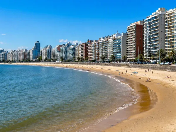
Farther east, the rambla passes Pocitos and continues towards Buceo, Malvín, Punta Gorda, and Carrasco. Granite walls and rocky points give way at intervals to sand, grass, marina activity, and broad pavement. People use this coast for walking, running, cycling, skating, fishing, and sitting.
At Pocitos, mate has been documented beside the skatepark while football continued on the beach. In summer, groups bring folding chairs to the boulevard; conversation and shared mate take their place beside sport and beach activity rather than inside a separate ritual space.
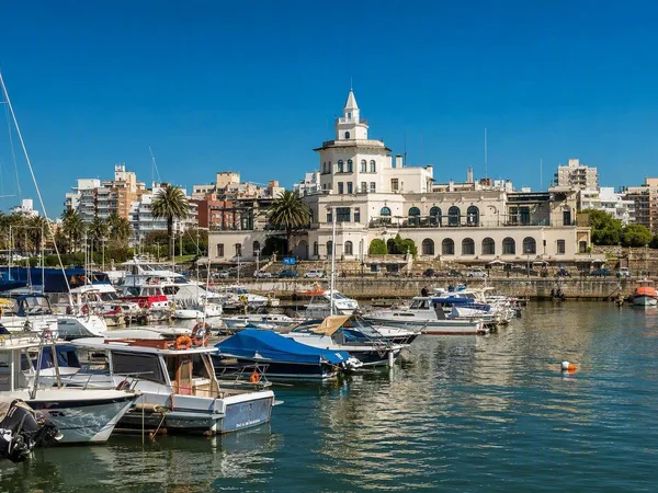
The long coastal route also serves runners, cyclists, and skaters. Rambla Sur gained a cycle path in 2024 from Escollera Sarandí to the fishing clubs opposite the Teatro de Verano. Near Punta Carretas, fishing clubs and a small community of artisanal fishers occupy another stretch of coast; Buceo adds harbour life, sport fishing, and watersports.
Late in the day, some people stop after moving along the coast while others keep going. On the wall, beach, or grass, a cup may pass from hand to hand while the thermos supplies the next pour. Beyond the pavement, wind crosses the broad, sediment-coloured estuary; beside it, the small cup and thermos keep mate in public without fixing it to any one place.
Keep exploring
Places in this story
Montevideo
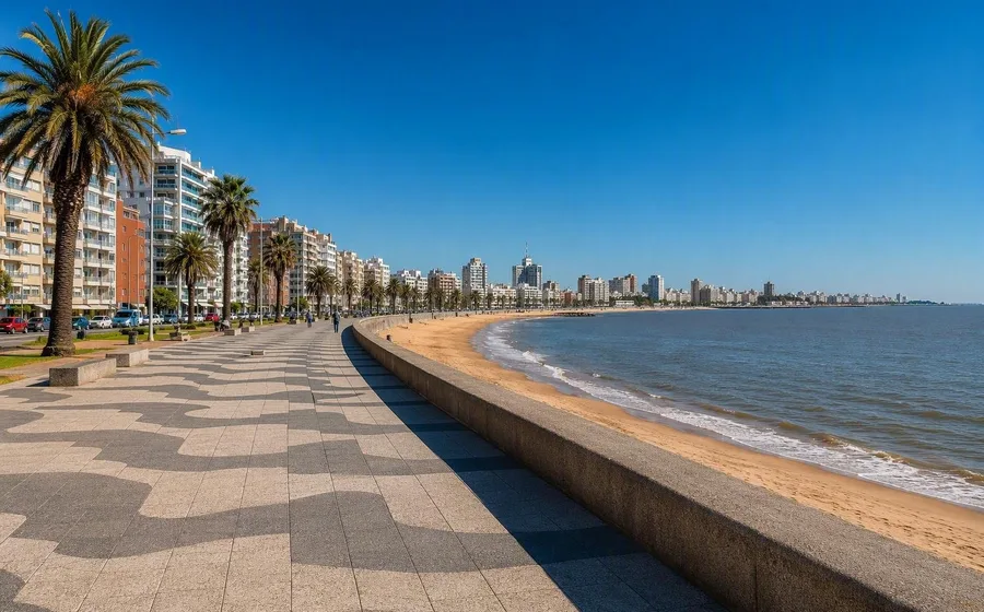
Montevideo, Uruguay’s capital, sits on the Río de la Plata between a historic port district and a long public waterfront. Its essentials are compact Ciudad Vieja, the Rambla and beachside neighbourhoods such as Pocitos.
Río de la Plata
Escollera Sarandí
Ciudad Vieja, Montevideo’s Old City
Rambla Sur
Parque Rodó
Playa Ramírez
Playa Ramírez is a city beach on the Río de la Plata in Montevideo, directly below Parque Rodó. Its sandy bay and waterfront rambla make it a practical stop for a swim, a walk or beach sport close to the centre.
Paseo Verde
Pocitos
Punta Carretas
Buceo, Montevideo