
Mountain · Montenegro
Durmitor Massif
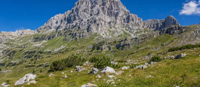
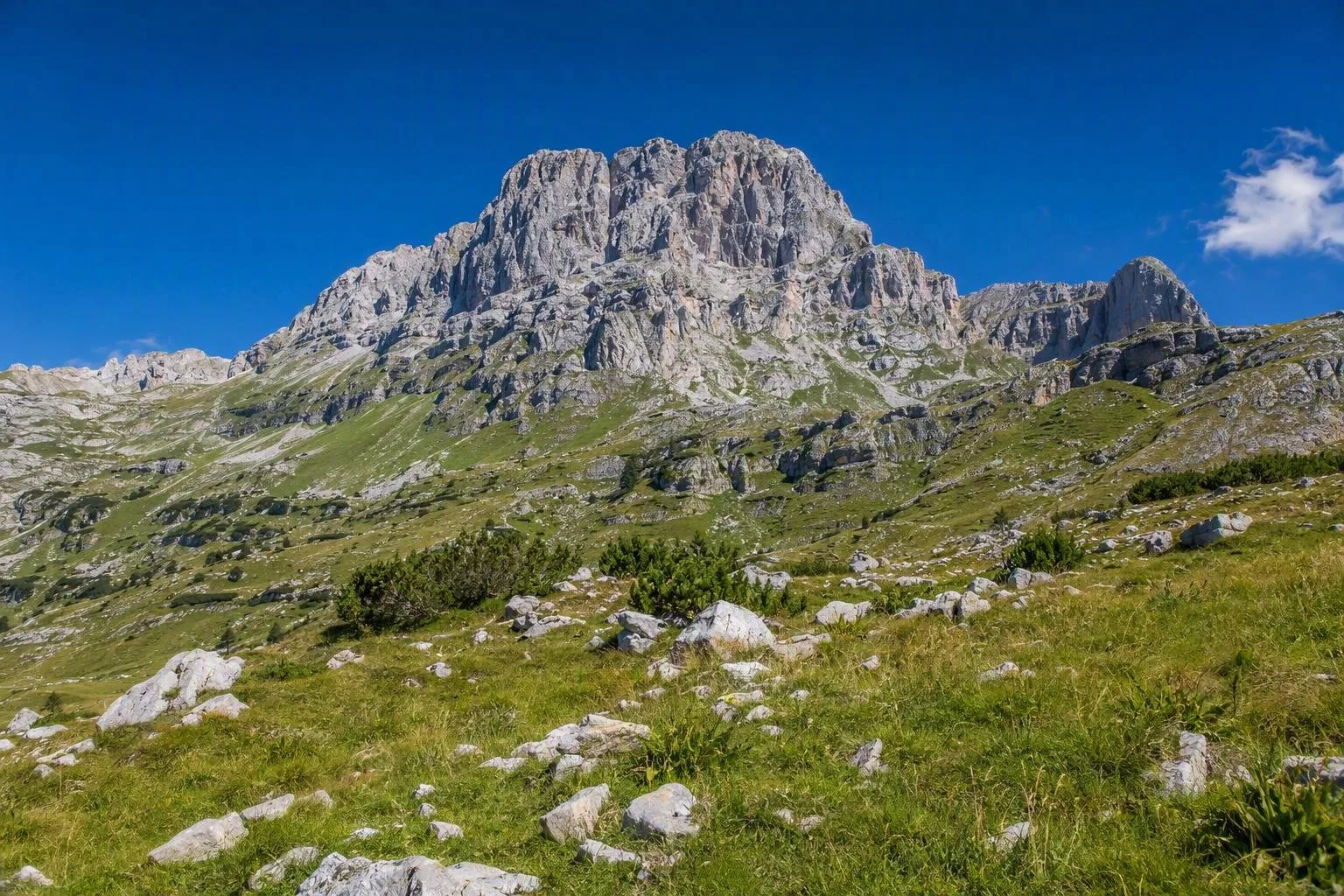
Durmitor is a high limestone massif in northwestern Montenegro, centred on the mountain country above Žabljak. Its serrated peaks, glacial lakes and deep river canyons form the core of Durmitor National Park.
The mountain at a glance
Durmitor is part of the Dinaric Alps, a compact but rugged massif of limestone ridges, high pastures and glacial basins. Bobotov Kuk, at 2,523 metres, is its highest summit. Around 50 peaks rise above 2,000 metres, so this is mountain terrain rather than a single roadside viewpoint.
The massif gives its name to the national park, established in 1952 and inscribed as a UNESCO World Heritage site in 1980. The protected landscape extends beyond the high ground to the Tara, Sušica, Draga and Komarnica canyons.
Read the landscape
Glaciers shaped the sharp cirques, lakes and broad upland hollows; water continues to work through the karst underground. Eighteen glacial lakes are scattered across Durmitor and the adjoining Jezerska Površ plateau. Locally they are known as gorske oči — mountain eyes.
The accessible introduction is Black Lake (Crno jezero), close to Žabljak. It is a two-basin lake framed by conifers and the massif’s steep walls. For a larger-scale contrast, the Tara River cuts the northern side of the mountain landscape in Europe’s deepest gorge, with dense forest on its slopes.
Walking and mountain objectives
Žabljak is the practical base for Durmitor: accommodation, supplies and access to the most-used approaches are concentrated there. The park has a marked hiking network, from lakeside walks to long mountain days.
- Black Lake: the low-commitment choice for a first look at the massif.
- High lakes and passes: routes lead into quieter cirques, meadows and limestone basins.
- Bobotov Kuk: the defining summit objective; treat it as a full mountain outing, not an extension of a lake walk.
- Tara Canyon: a separate lower-elevation experience, suited to canyon viewpoints or organised river trips.
A car is useful for reaching dispersed trailheads and canyon access points. Žabljak is also the centre for winter skiing around Savin Kuk.
Conditions and care
Durmitor’s altitude range runs from canyon floors around 450 metres to the summit zone above 2,500 metres. Conditions therefore change quickly with elevation. Snow can persist on high routes well beyond winter, while cloud, wind and thunderstorms can make exposed ridges unsafe even after a clear start.
Stay on marked paths, carry water, warm and waterproof layers, and use proper mountain footwear. Do not start a summit route if visibility or weather is deteriorating. Respect closures and protected habitats; Durmitor’s forests, alpine grasslands, lakes and rivers support endemic plants as well as brown bear, wolf, chamois and birds of prey.
From the magazine
Stories about Durmitor Massif
Editorial stories linked directly to Durmitor Massif.
No stories about Durmitor Massif have been published yet.
Routes from our editors
Travel through Durmitor Massif
Editorial routes connecting Durmitor Massif with other countries, cities and hotspots.
No routes through Durmitor Massif have been published yet.
More in Montenegro
Related hotspots
Other cities, nature areas and places within Montenegro.
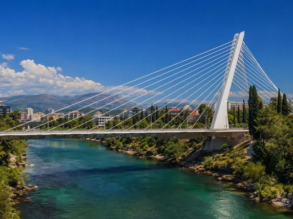
Podgorica
5 linked stories and routes
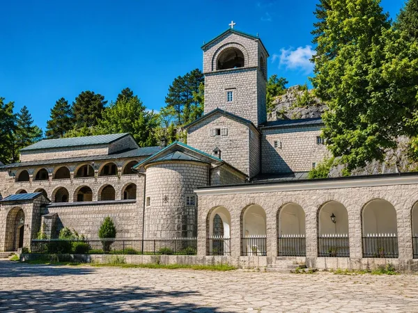
Cetinje
4 linked stories and routes
Lovćen
4 linked stories and routes
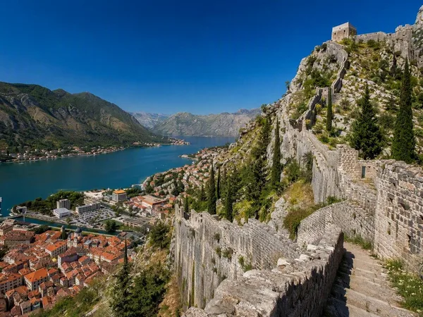
Kotor
2 linked stories and routes
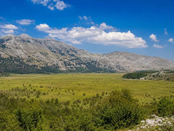
Cetinjsko polje
2 linked stories and routes
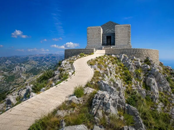
Jezerski vrh
1 linked stories and routes
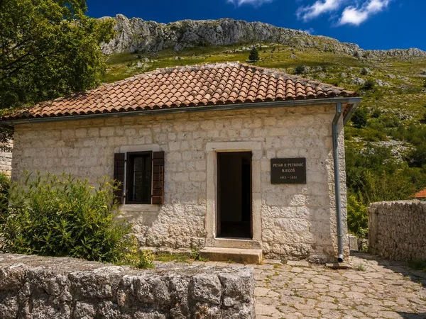
Njeguši
1 linked stories and routes
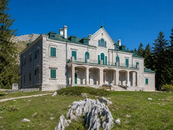
Ivanova Korita
1 linked stories and routes
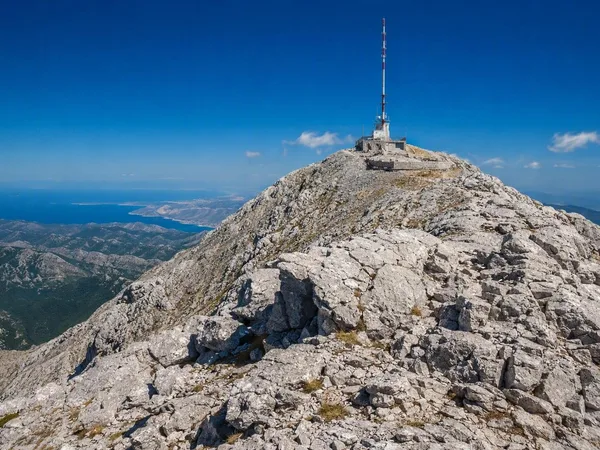
Štirovnik
1 linked stories and routes
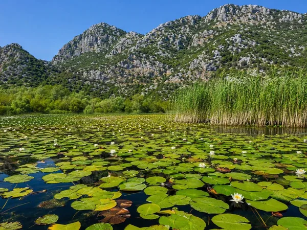
Skadar Lake
1 linked stories and routes
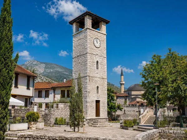
Stara Varoš, Podgorica
1 linked stories and routes
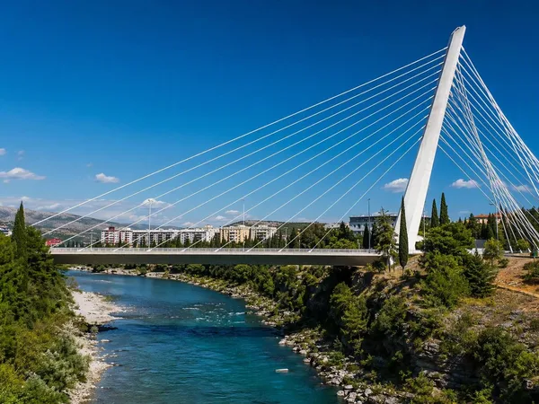
New Podgorica
1 linked stories and routes
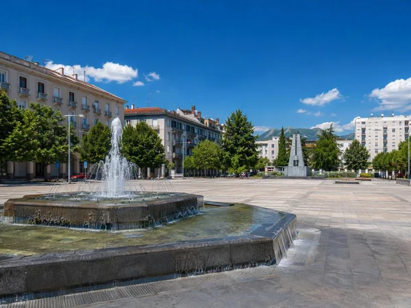
Nova Varoš, Podgorica
1 linked stories and routes
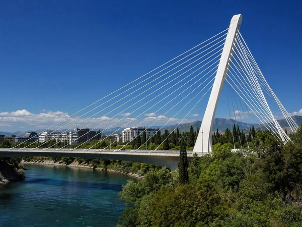
Millennium Bridge
1 linked stories and routes
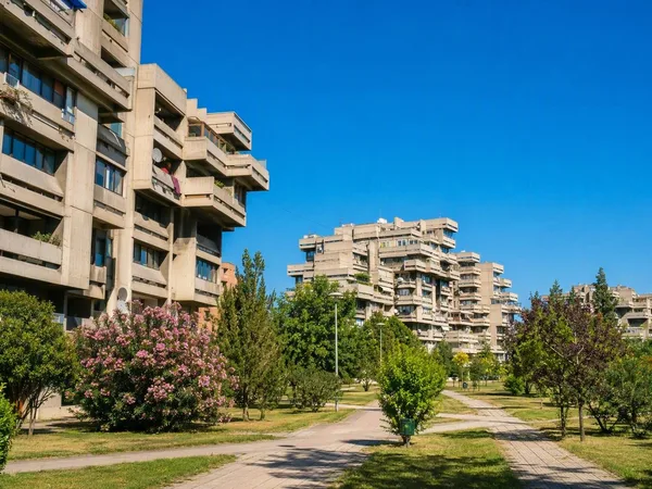
Blok 5
1 linked stories and routes
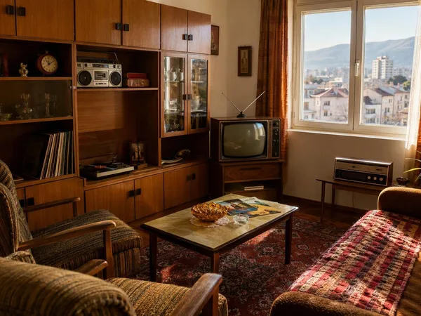
Titograd 80s Museum
1 linked stories and routes
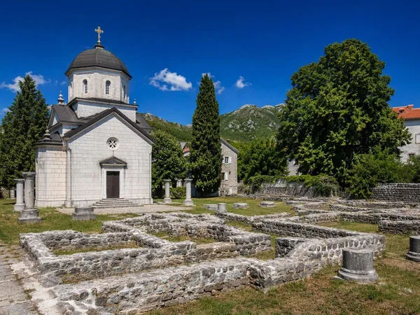
Ćipur, Cetinje
1 linked stories and routes
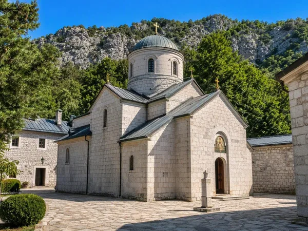
Cetinje Monastery
1 linked stories and routes
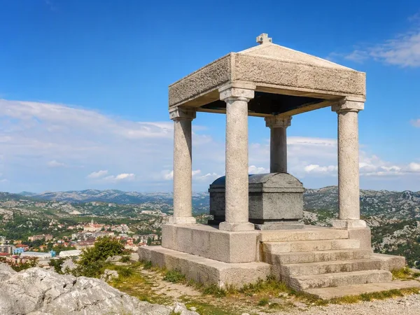
Orlov krš
1 linked stories and routes
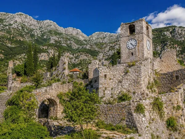
Bar
0 linked stories and routes