
Nature area · Montenegro
Cetinjsko polje
Cetinjsko polje is the long karst basin in and around Cetinje, central Montenegro, immediately east of the Lovćen massif. Its unusually level floor explains why Cetinje could develop in an otherwise steep limestone landscape.
Read the landscape
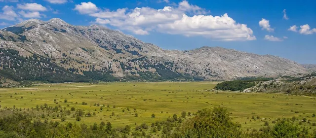
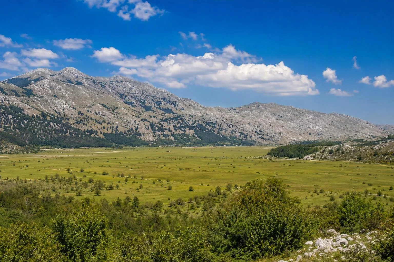
Cetinjsko polje is a karst polje: a long, enclosed basin rather than an open valley. It runs roughly northwest to southeast east of Lovćen, at about 660 to 760 metres above sea level. The basin is around six kilometres long and only about 0.5 to 1.25 kilometres wide, so the limestone ridges always remain close.
Cetinje occupies part of its floor. From the city, look beyond the streets and buildings to understand the setting: a level strip of ground contained by steep, bare grey hills. This contrast—flat basin against fractured limestone—is the essential view.
Why it matters
The polje supplied the usable, relatively level ground that was scarce in the surrounding high karst. Cetinje grew here below Lovćen, and its districts extend across sections of the basin. The field is commonly divided into areas including Bajićko polje, Umčko polje, Bogdanov kraj, Donji kraj and Donje polje–Gruda.
A river called Cetina once crossed the basin and left alluvial material on parts of its floor. By the 17th century, the surface flow had disappeared underground—a defining karst process. Water still drains through fissured limestone rather than forming a dependable visible river.
How to experience it
Treat Cetinjsko polje as the geographical framework for exploring Cetinje, not as a separate monument with a single entrance. The most useful approach is to walk or drive through the city and its edges, pausing where the built-up area gives way to open ground and the limestone walls become visible.
For a clear reading of scale, seek a broad outward view rather than a close-up of individual rocks. Notice how little room there is between the urban floor and the enclosing slopes. The terrain also explains the presence of caves around the basin’s margins, including Cetinje Cave in town and Lipa Cave nearby.
Practical ground rules
The basin includes streets, settled areas and agricultural land. Stay on public roads and established paths; do not cross cultivated plots or private ground for a shortcut.
The floor can look dry even after wet weather because drainage is largely underground. Wear footwear suitable for uneven limestone if leaving paved surfaces, and carry water: karst terrain does not guarantee surface water.
Pair it with Cetinje
Use the polje first, then explore Cetinje’s historic core. The town’s monasteries, former royal institutions and civic streets make more sense once you have seen the constrained, level ground on which they stand. Lovćen rises to the west; the plain is the physical link between the town and that mountain landscape.
From the magazine
Stories about Cetinjsko polje
Editorial stories linked directly to Cetinjsko polje.
No stories about Cetinjsko polje have been published yet.
Routes from our editors
Travel through Cetinjsko polje
Editorial routes connecting Cetinjsko polje with other countries, cities and hotspots.
No routes through Cetinjsko polje have been published yet.
More in Montenegro
Related hotspots
Other cities, nature areas and places within Montenegro.
Podgorica
5 linked stories and routes
Cetinje
4 linked stories and routes
Lovćen
4 linked stories and routes
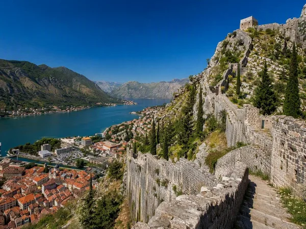
Kotor
2 linked stories and routes
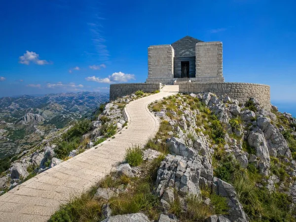
Jezerski vrh
1 linked stories and routes
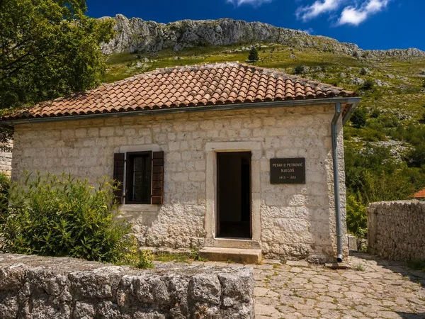
Njeguši
1 linked stories and routes
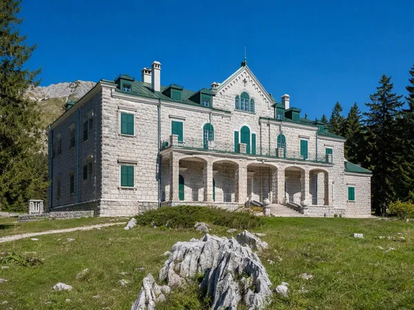
Ivanova Korita
1 linked stories and routes
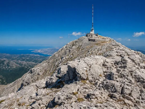
Štirovnik
1 linked stories and routes
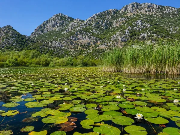
Skadar Lake
1 linked stories and routes
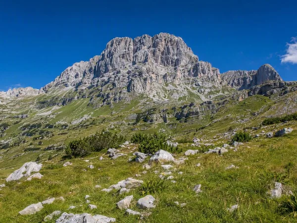
Durmitor Massif
1 linked stories and routes
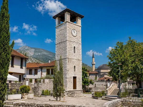
Stara Varoš, Podgorica
1 linked stories and routes
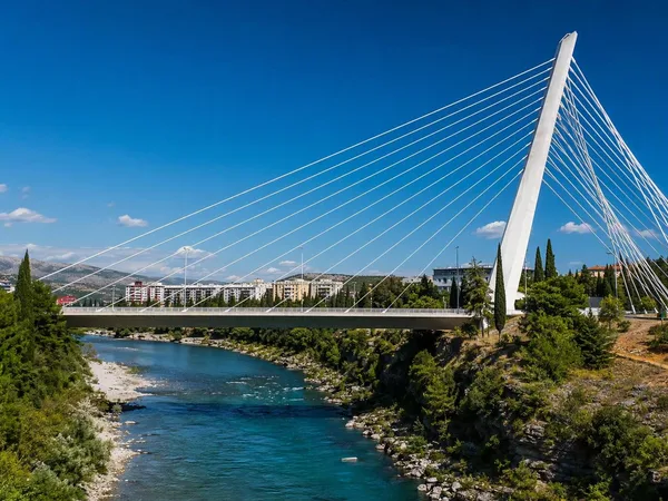
New Podgorica
1 linked stories and routes
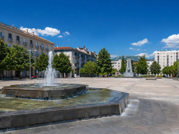
Nova Varoš, Podgorica
1 linked stories and routes
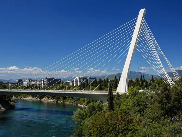
Millennium Bridge
1 linked stories and routes
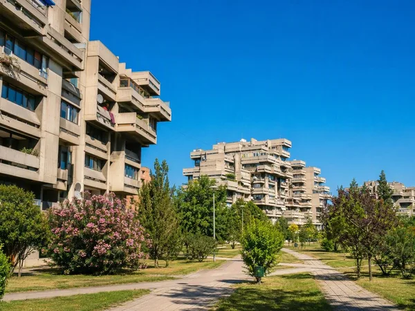
Blok 5
1 linked stories and routes
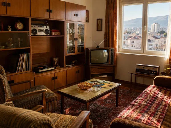
Titograd 80s Museum
1 linked stories and routes
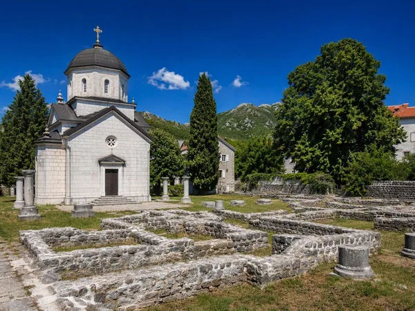
Ćipur, Cetinje
1 linked stories and routes
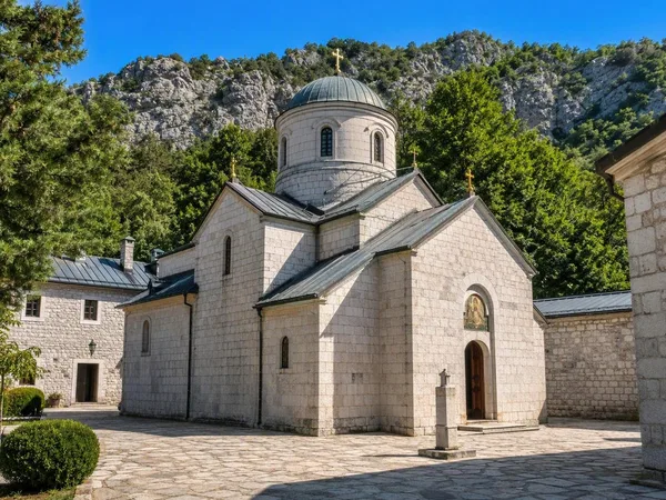
Cetinje Monastery
1 linked stories and routes
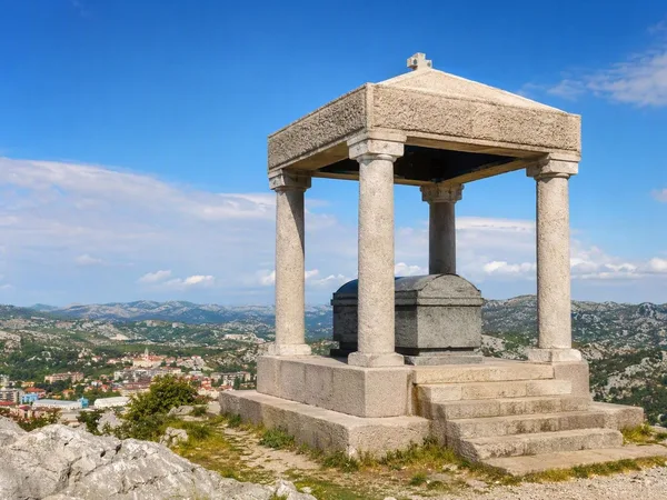
Orlov krš
1 linked stories and routes
Bar
0 linked stories and routes