
State · India
Maharashtra
Maharashtra is a vast state in west-central India, stretching from the Arabian Sea and the Sahyadri range across the Deccan plateau. Mumbai is its capital; its travel map runs from rock-cut cave temples and Maratha forts to coastal towns and forested hills.
The lay of the state
Maharashtra is too large for a single-base trip. The narrow Konkan coast lies between the Arabian Sea and the Sahyadri, or Western Ghats; east of the range, the land opens into the Deccan plateau. Mumbai anchors the west, while Pune, Nashik, Chhatrapati Sambhajinagar and Nagpur make useful inland bases.
The contrast matters when planning. The coast and Sahyadri receive heavy monsoon rain, while parts of the interior sit in a rain shadow and can be much drier. Marathi is the state language; Hindi and English are widely useful in cities and established visitor areas.
Choose a route, not a checklist
Build a trip around one or two connected areas rather than attempting the whole state.
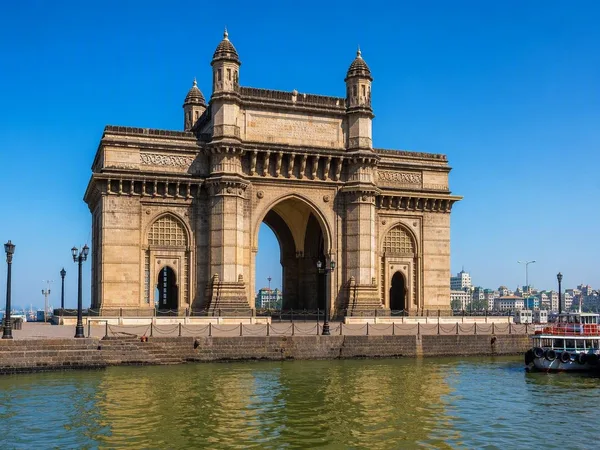
- Mumbai and harbour: Start with the city’s historic architecture and seafront, then take the ferry to Elephanta Island for its Shiva cave temples.
- Pune and the western hills: Use Pune for urban culture and for access toward Lonavala, Mahabaleshwar and hill forts.
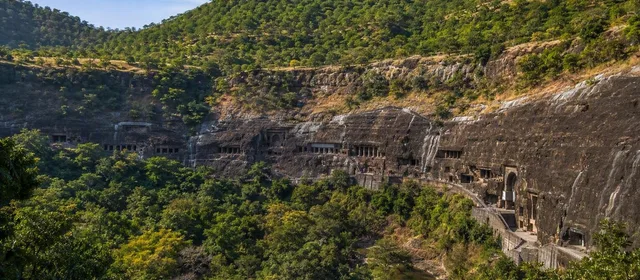
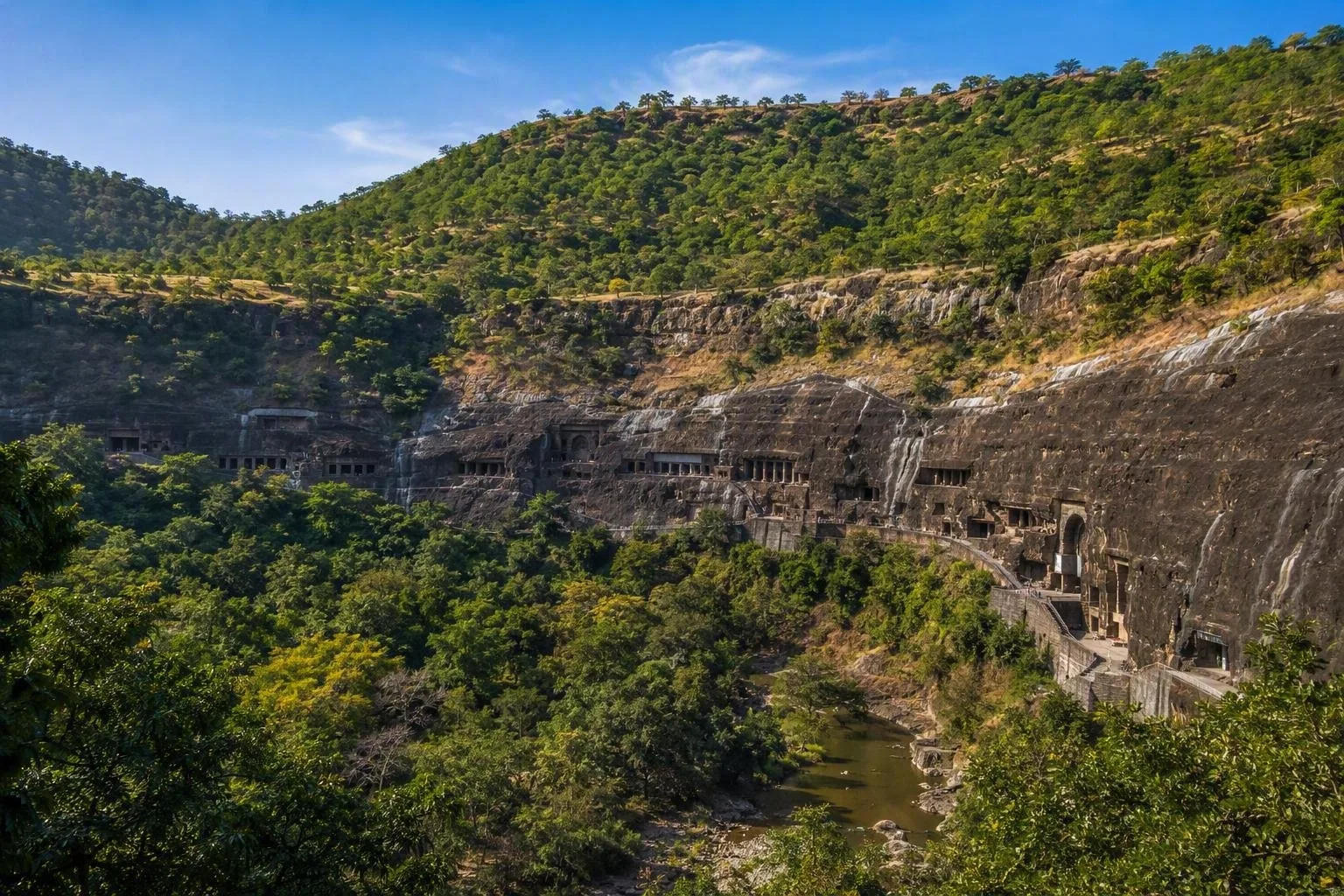
- Chhatrapati Sambhajinagar: The practical base for Ajanta and Ellora. Ajanta is known for Buddhist murals in rock-cut caves; Ellora combines Buddhist, Hindu and Jain monuments, including the monolithic Kailasa Temple.
- Konkan: Follow the coast south for beaches, fishing settlements and sea forts; allow time, as distances and roads make this a slower route than the Mumbai–Pune corridor.
Stone, forts and living cities
The state’s strongest historic thread is carved basalt. At Ellora, 34 caves extend along a cliff and span three faith traditions. Ajanta occupies a horseshoe-shaped ravine above the Waghora River. In Mumbai, Chhatrapati Shivaji Maharaj Terminus remains a working railway station as well as a major heritage building.
Forts are not interchangeable viewpoints. Choose one that suits your route: Raigad for the Maratha capital, Pratapgad near Mahabaleshwar, or coastal strongholds such as Sindhudurg and Vijaydurg. Their terrain—ridge, plateau or sea—is part of the point.
Getting around
Mumbai is the main international gateway and the state’s biggest rail and road hub. Long-distance trains connect major cities, but they do not remove the need for road transfers to caves, forts, hill stations and much of the coast. A hired car is most efficient for a multi-stop inland or Konkan itinerary; use local rail and city transport within Mumbai and other large cities.
Do not judge travel by map distance alone. Ghats, traffic and monsoon conditions can turn short-looking roads into long journeys.
Seasons and practical timing
November to February is generally the easiest period for city walks, caves and long road days. March to June brings intense heat, particularly inland. The monsoon usually runs from June to September: it transforms the Sahyadri and Konkan, but heavy rain affects visibility, road conditions and outdoor access.
At religious sites and active temples, dress modestly and remove footwear where required. At cave complexes, keep clear of barriers and do not touch painted or carved surfaces.
From the magazine
Stories about Maharashtra
Editorial stories linked directly to Maharashtra.
Routes from our editors
Travel through Maharashtra
Editorial routes connecting Maharashtra with other countries, cities and hotspots.
No routes through Maharashtra have been published yet.
More in India
Related hotspots
Other cities, nature areas and places within India.
Mumbai
1 linked stories and routes
Dadar
1 linked stories and routes
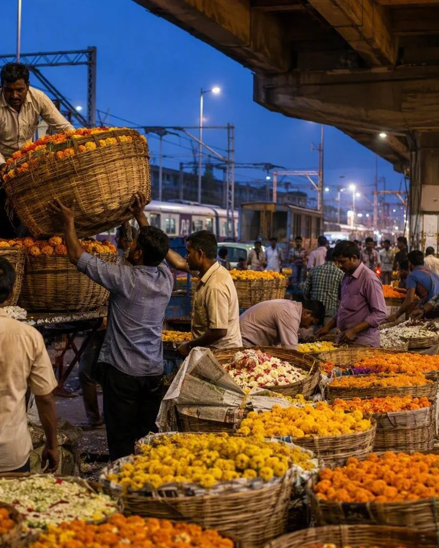
Phool Gully
1 linked stories and routes
Radhanagar Beach
1 linked stories and routes
Gujarat
1 linked stories and routes
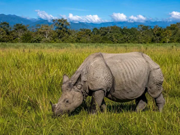
Kaziranga National Park
1 linked stories and routes
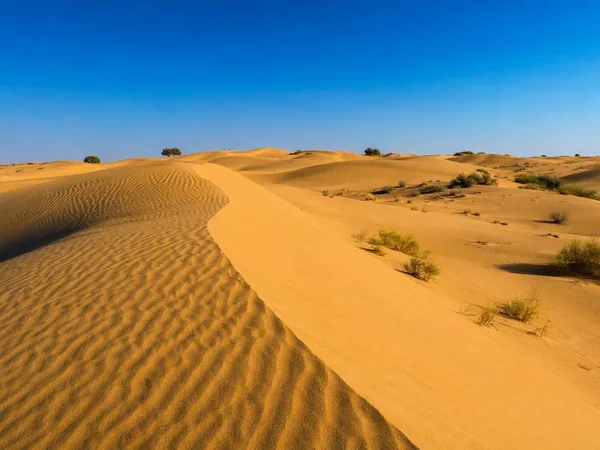
Thar Desert
1 linked stories and routes