
National park · India
Kaziranga National Park
Kaziranga National Park is a UNESCO-listed floodplain reserve in Assam, northeast India, on the south bank of the Brahmaputra. It is the world’s principal stronghold for the Indian one-horned rhinoceros.
The floodplain
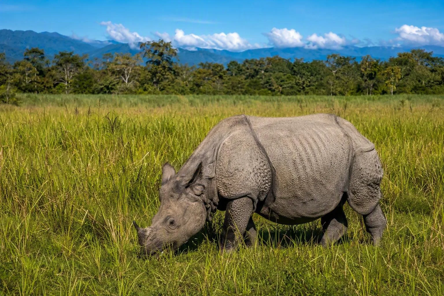
Kaziranga is not a static forest. It is a 42,996-hectare Brahmaputra floodplain of tall grass, reed-fringed shallow pools, wetlands and patches of deciduous and semi-evergreen woodland. The river erodes banks, lays down silt and creates new water bodies; annual flooding and managed burning keep much of the grassland open.
That moving landscape is why the park is a World Heritage site. It lies in Assam, with the Karbi Anglong hills rising to the south: vital higher ground when floodwater covers the lowlands.
Wildlife: look beyond the rhino
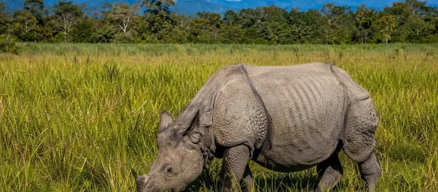
The Indian one-horned rhinoceros is the central reason to come. Kaziranga holds the species’ largest population, with more than 2,600 animals recorded in recent assessments. Its folded, armour-like skin and single horn are unmistakable in open grass or at a wetland edge.
The same habitat also supports Asian elephants, wild water buffalo, eastern swamp deer and Bengal tigers. Tigers are present but hard to see in dense grass; treat any sighting as a bonus, not an itinerary item. Wetlands draw migratory birds, while some oxbow lakes hold Ganges river dolphins.
Choose a safari range
Tourism is organised through four main entry ranges:
- Central, Kohora: the main access area, combining grassland, wetland and woodland.
- Western, Bagori: open floodplain habitat with rhinos and wild buffalo.
- Eastern, Agoratoli: a strong choice for wetlands and birdlife.
- Burapahar, Ghorakati: a more wooded, hilly contrast to the main floodplain.
Use an authorised jeep; private vehicles are not allowed inside. Safari circuits run on designated tracks, with an escort. Stay in the vehicle except at approved stopping points, keep quiet near animals, and never feed or approach wildlife.
Season and access
The main visiting season is November to April. The park normally closes from 1 May to 31 October during the monsoon period, when flooding can reshape access and wildlife movements.
Jeep safaris operate during daytime in regulated morning and afternoon windows; exact range timings vary with conditions. Elephant safaris run only in the early morning from Mihimukh in the Central Range and Bagori in the Western Range. They last about an hour and are unsuitable for visitors with back or spinal problems, stiff joints, or limited mobility.
Kohora is the practical base for the Central Range. Furkating Junction is about 75 km away by road; Guwahati Airport is roughly 230 km from Kohora. Carry identification for permits and expect uneven, bumpy tracks on jeep safaris.
A park shaped by water
Flooding is essential to Kaziranga’s grasslands, but severe floods also push animals towards the Karbi Anglong hills and across roads on the southern edge. This is not a spectacle to chase. During flood alerts, follow park restrictions and avoid adding traffic around wildlife corridors.
From the magazine
Stories about Kaziranga National Park
Editorial stories linked directly to Kaziranga National Park.
Routes from our editors
Travel through Kaziranga National Park
Editorial routes connecting Kaziranga National Park with other countries, cities and hotspots.
No routes through Kaziranga National Park have been published yet.
More in India
Related hotspots
Other cities, nature areas and places within India.
Mumbai
1 linked stories and routes

Dadar
1 linked stories and routes
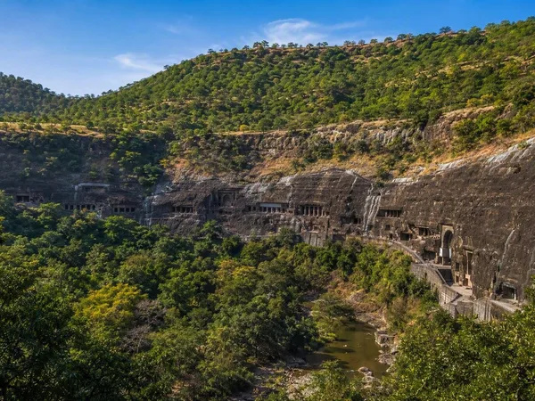
Maharashtra
1 linked stories and routes
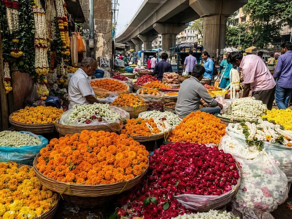
Phool Gully
1 linked stories and routes
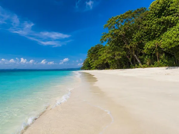
Radhanagar Beach
1 linked stories and routes
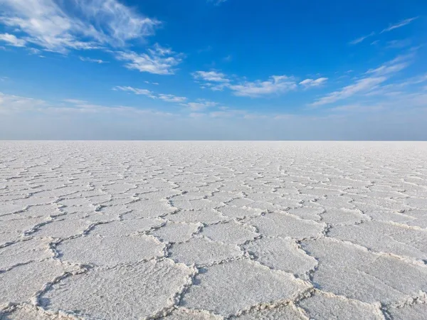
Gujarat
1 linked stories and routes
Thar Desert
1 linked stories and routes