
Island · Portugal
São Miguel
São Miguel is the largest island in Portugal’s Azores, in the North Atlantic. Its volcanic calderas, crater lakes, geothermal Furnas valley and black-basalt coast make it the archipelago’s most varied island base.
Read the island
São Miguel runs roughly east to west, with major volcanic landscapes at its western, central and eastern ends. Ponta Delgada, on the south-west coast, is the main city, airport gateway and most practical base for first stays. The island’s roads connect a great deal, but lakes, thermal sites and lookouts sit on different branches: treat west, centre/north and east as separate days.
The weather changes fast with altitude. A clear coast does not guarantee a clear crater rim, so keep high viewpoints flexible and have a lower-altitude alternative.
The volcanic essentials
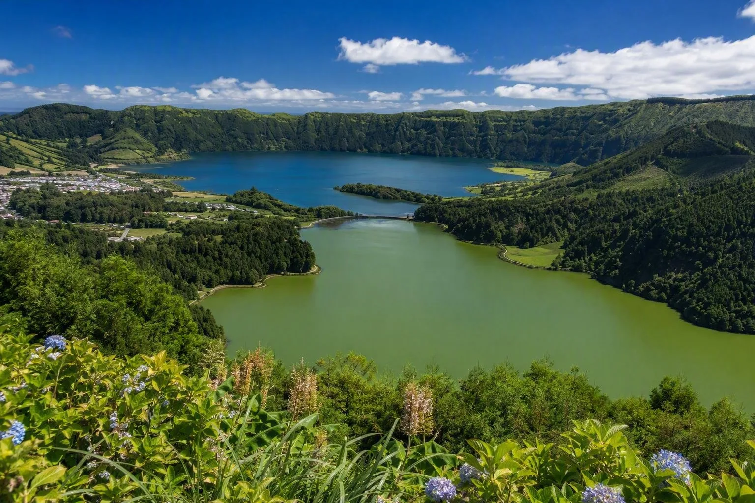
Sete Cidades, west. The island’s defining view is the paired Lagoa Azul and Lagoa Verde inside a broad caldera. Take in the panorama from Vista do Rei, then use the marked Mata do Canário–Sete Cidades route for a longer rim-and-lake walk.
Lagoa do Fogo, centre. This high crater lake in the Água de Pau massif is São Miguel at its least built-up. Use it for a viewpoint stop or a proper hike when visibility holds.
Furnas, east. This is the geothermal core: fumaroles, mineral springs, Lagoa das Furnas and thermal bathing. At the lakeside caldeiras, cozido das Furnas is cooked underground using volcanic heat. The signed circular Lagoa das Furnas walk is 9.4 km and rated easy; it links the village, lake shore and caldeiras.
Water, coast and cultivation
Thermal water appears in several forms. Caldeira Velha has a warm waterfall and pools set among dark volcanic rock; Furnas has bathing pools and gardens; Ponta da Ferraria mixes geothermal water with the Atlantic. Choose one bathing stop rather than trying to combine it with every major lake in a day.
On the north coast, tea fields add a distinctly São Miguel landscape. Continue east for Nordeste’s steep green slopes, waterfalls and planted lookouts. The south coast is more settled, with volcanic-sand beaches including Pópulo, Vinha da Areia and Ribeira Quente.
Getting around and walking well
Fly into João Paulo II Airport (PDL) at Ponta Delgada. A rental car gives the best reach to dispersed trailheads, viewpoints and bathing areas; allow extra time for narrow roads, elevation and fog. Guided day trips are the workable alternative for the main west, central and east circuits.
For walks, use marked official trails and stay on them. In protected areas, do not cut corners; close gates after passing through. Carry waterproof layers even on a bright morning, and turn back from exposed high ground if cloud or wind removes safe visibility.
Practical rhythm
Allow four to seven days to give Sete Cidades, Lagoa do Fogo and Furnas their own time, with space to move a crater day when cloud closes in. Base in Ponta Delgada for services and broad road access; choose Furnas for a slower thermal-focused stay, or Ribeira Grande for the north coast, tea country and central island.
From the magazine
Stories about São Miguel
Editorial stories linked directly to São Miguel.
Routes from our editors
Travel through São Miguel
Editorial routes connecting São Miguel with other countries, cities and hotspots.
No routes through São Miguel have been published yet.
More in Portugal
Related hotspots
Other cities, nature areas and places within Portugal.
Lisbon
3 linked stories and routes
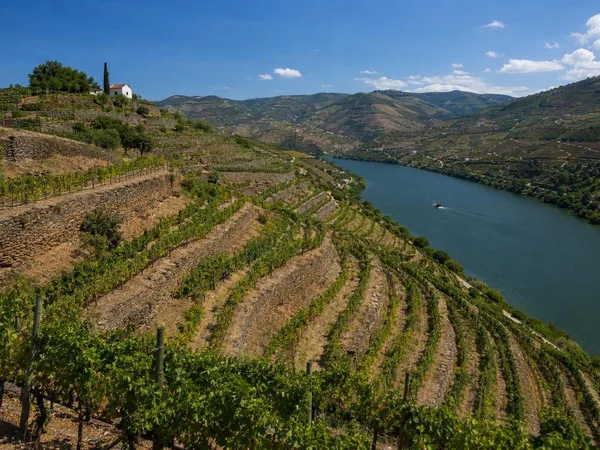
Douro
3 linked stories and routes
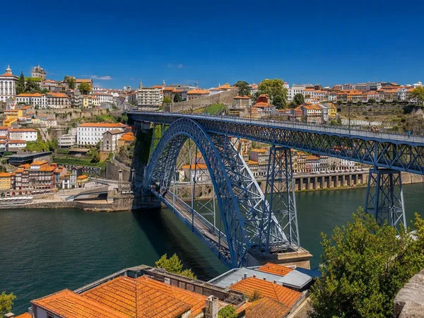
Porto
2 linked stories and routes
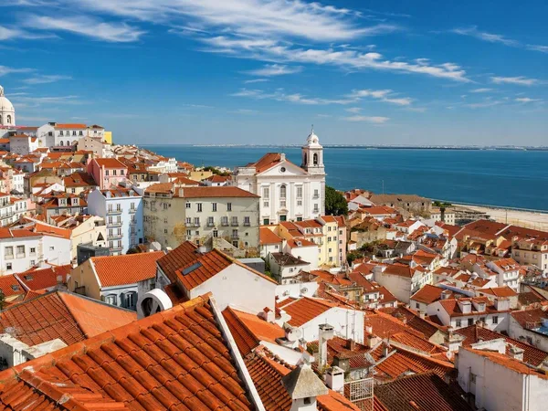
Alfama
1 linked stories and routes
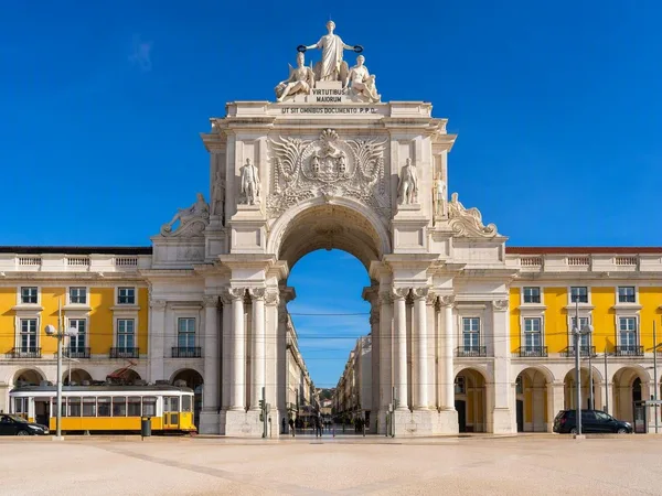
Baixa
1 linked stories and routes
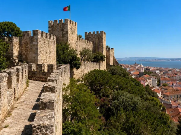
Castelo de São Jorge
1 linked stories and routes
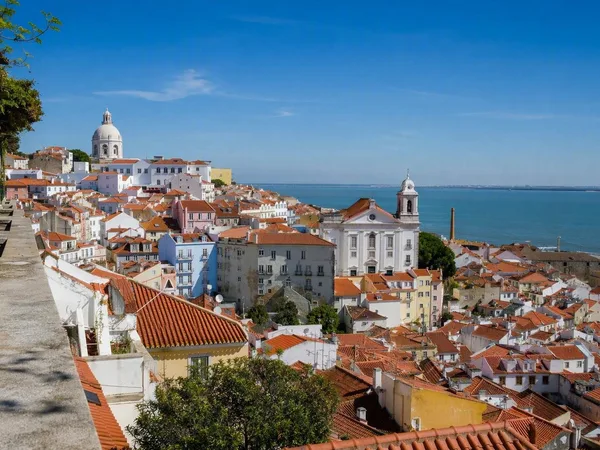
Miradouro das Portas do Sol
1 linked stories and routes
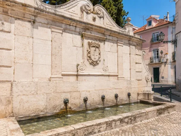
Largo do Chafariz de Dentro
1 linked stories and routes
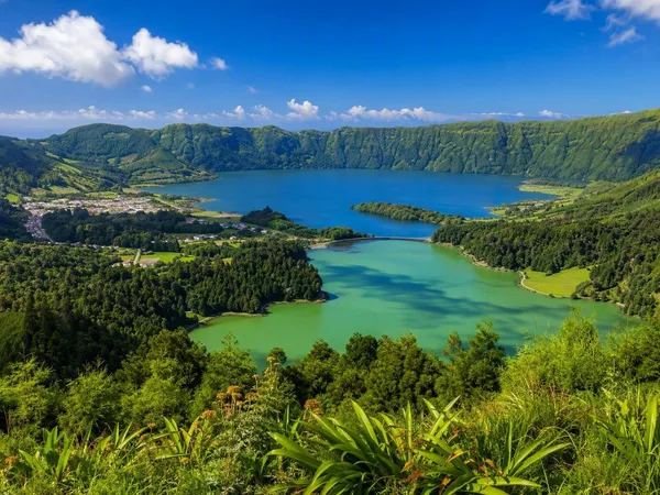
Azores
1 linked stories and routes
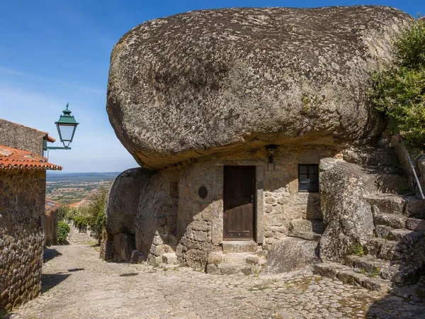
Monsanto
1 linked stories and routes
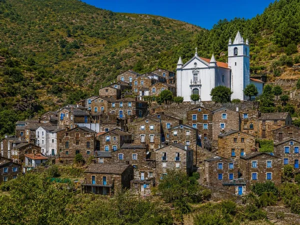
Piódão
1 linked stories and routes
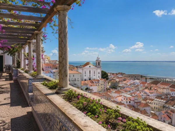
Santa Luzia
0 linked stories and routes