
Island · Netherlands
Saba
Saba is a steep volcanic island in the Dutch Caribbean, southwest of St. Maarten. Its four villages, cloud-forest trails and protected dive waters make it a destination for active days rather than beach time.
The island at a glance
Saba is a compact, mountainous island in the northeastern Caribbean Sea. It rises sharply from the water, so cliffs, ravines and winding roads define the landscape; broad Caribbean beaches do not. The island’s four main villages are The Bottom (the capital), Windwardside, St. John’s and Zion’s Hill, also called Hell’s Gate.
Windwardside is the most useful base for visitors: it has the trail shop, small hotels, places to eat and the start of the Mount Scenery route. The Bottom is the administrative centre and a practical stop when travelling between the harbour and the island interior. Look for the characteristic white wooden cottages with red roofs and green shutters in every village.
Walk Mount Scenery
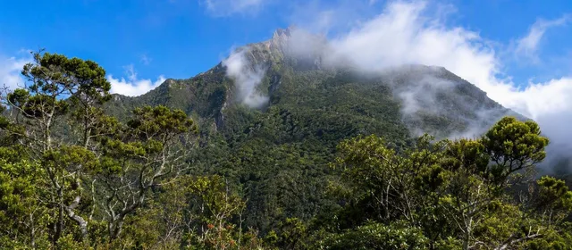
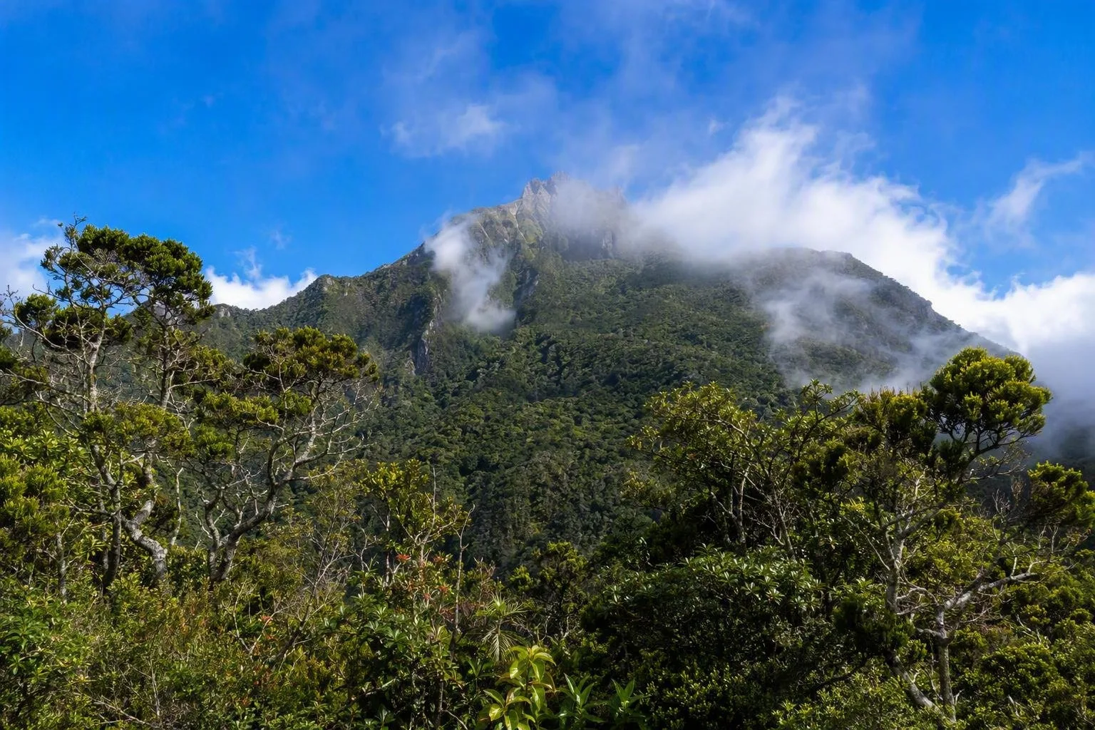
At 877 metres, Mount Scenery is the highest point in the Kingdom of the Netherlands. The main trail begins opposite the Trail Shop in Windwardside and climbs 1,064 steps through rainforest to the cool, wet cloud forest near the summit. Allow about 2½ hours for the strenuous route.
The island has 20 marked trails, ranging from short coastal walks to demanding ridge routes. Good alternatives include:
- The Ladder: a historic stepped route between The Bottom and Ladder Bay.
- Sandy Cruz Trail: a longer, moderate hike through rainforest and former farmland.
- Flat Point Tide Pools: a short coastal walk over old lava flows.
Wear footwear with grip, carry water, and check the current trail advisory before setting out. Upper Mount Scenery steps can stay slippery even after dry weather, and mobile coverage is limited on parts of the network. Do not enter a closed trail or descend to the tide pools in rough seas.
Dive and explore the coast
The Saba National Marine Park surrounds the island from the high-water mark to a depth of 60 metres. Its underwater volcanic terrain—reefs, walls, pinnacles and seamounts—is the main draw for divers. Diving is boat-based and conducted with licensed local dive centres; Fort Bay is the island’s harbour.
For a land-based coastal stop, Flat Point gives access to lava-formed tide pools and views across the sea. Conditions matter here: admire the pools from above when swell is strong.
Arrivals and getting around
Most international journeys connect through St. Maarten. The flight to Juancho E. Yrausquin Airport takes about 12 minutes; its runway is 400 metres long and used by small aircraft. Ferry crossings from St. Maarten take about 90 minutes and arrive at Fort Bay.
Taxis connect the airport, harbour, villages and trailheads. Saba’s steep terrain makes distances look shorter on a map than they feel on foot; use a taxi for airport and harbour transfers, then explore Windwardside and The Bottom on foot.
From the magazine
Stories about Saba
Editorial stories linked directly to Saba.

Routes from our editors
Travel through Saba
Editorial routes connecting Saba with other countries, cities and hotspots.
No routes through Saba have been published yet.
More in Netherlands
Related hotspots
Other cities, nature areas and places within Netherlands.
Amsterdam
3 linked stories and routes
Rotterdam
1 linked stories and routes
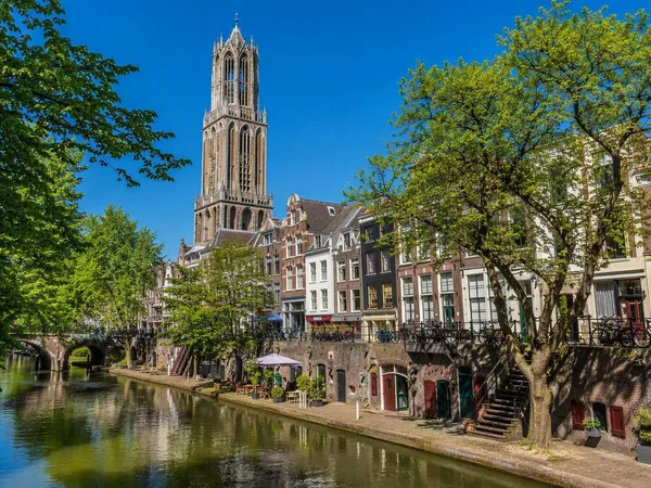
Utrecht
1 linked stories and routes
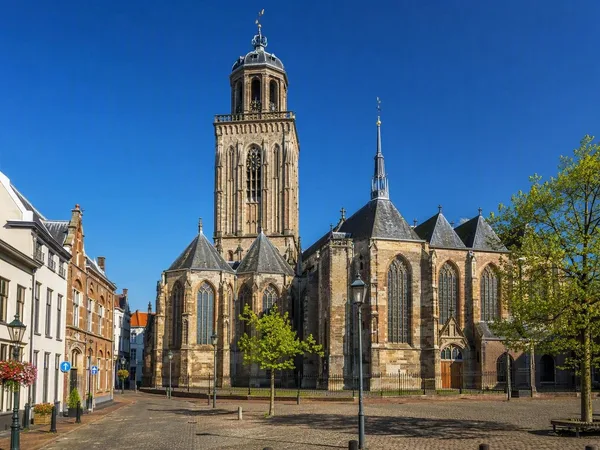
Deventer
1 linked stories and routes
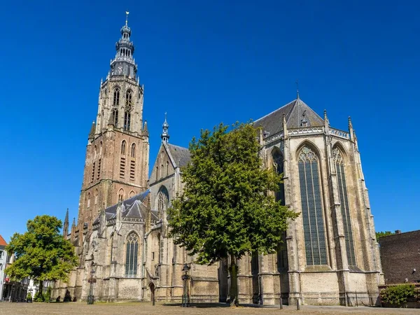
Zutphen
1 linked stories and routes
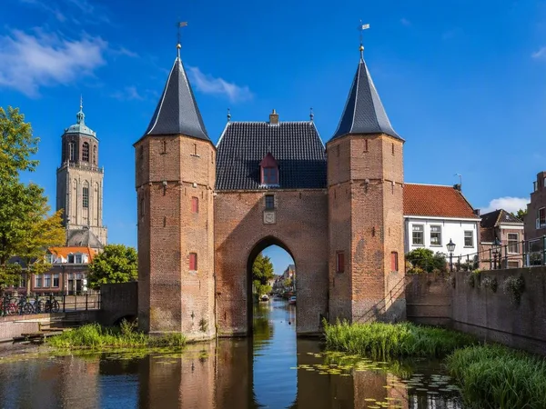
Zwolle
1 linked stories and routes
Biesbosch
1 linked stories and routes
Curaçao
1 linked stories and routes
Bonaire
1 linked stories and routes
Schiermonnikoog
1 linked stories and routes
Veluwe
0 linked stories and routes