
Island · Netherlands
Bonaire
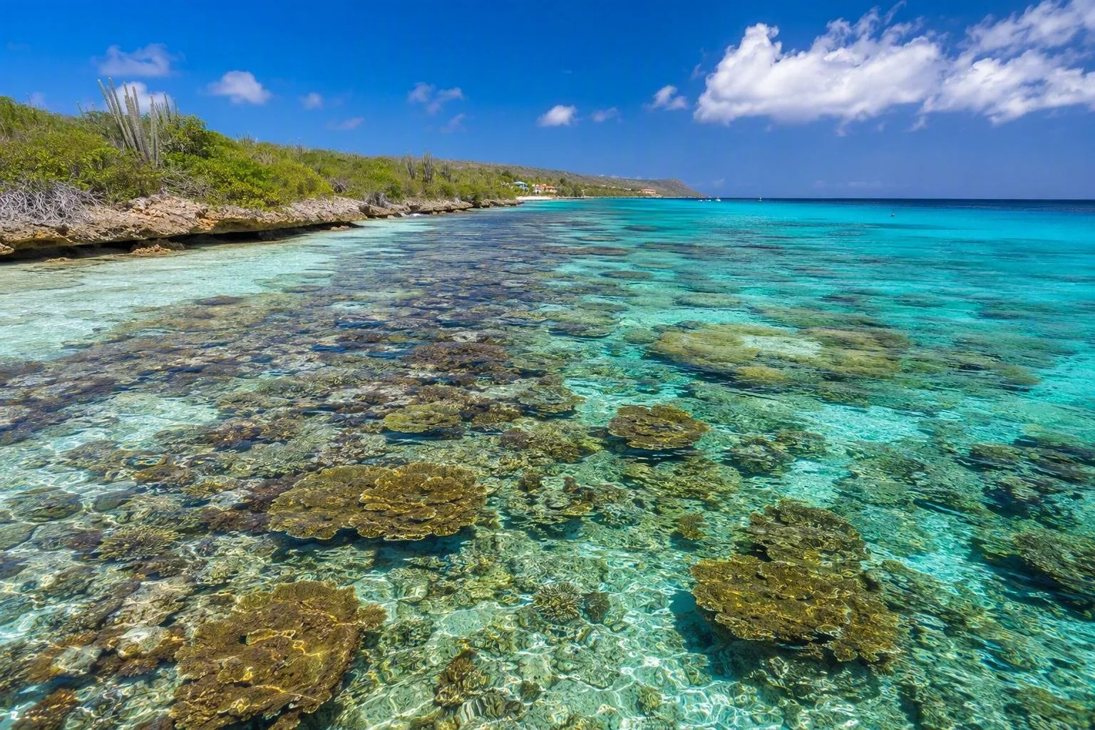
Bonaire is a dry Caribbean island and public body of the Netherlands, about 80 kilometres north of Venezuela. Its defining feature is a protected coastline where reef, mangroves, salt flats and cactus country sit within a short drive of Kralendijk.
Orientation
Bonaire is one of the ABC islands in the southern Caribbean. Kralendijk, on the sheltered west coast, is the practical base: it is the main town, close to Flamingo International Airport, and the departure point for many boat trips.
The island is compact but its character changes quickly. The west coast is the usual base for shore access to the sea; the east is windier and more exposed. Inland, dry scrub and cacti replace beach scenery. Papiamentu and Dutch are official languages; English and Spanish are also widely used. The US dollar is the local currency.
Reef first
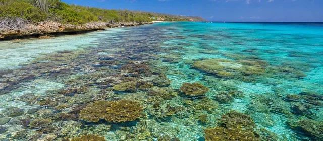
The Bonaire National Marine Park runs around Bonaire and Klein Bonaire, from the high-water line to 60 metres deep. It covers the island’s central experience: fringing reef, seagrass, mangroves and coastal wetlands.
Many west-coast sites allow direct shore entry for snorkelling or diving. Choose an entry point suited to your experience and use a local operator for diving. Klein Bonaire, the low uninhabited islet off Kralendijk, is reached by water taxi; bring drinking water, food and shade because there are no services there.
Marine-park rules matter:
- Pay the applicable nature fee before using park waters.
- Do not touch, stand on or remove coral.
- Boats must use moorings rather than anchor on the reef.
- Keep clear of marked turtle-nesting areas and take all rubbish away.
Land routes and nature
Make time for more than the coast. In the north, Washington Slagbaai National Park combines cactus-covered hills, bays, salt pans and bird habitat across two former plantations. The routes are rough and remote: carry water and food, and use a vehicle with adequate ground clearance.
South of Kralendijk, the salt landscape is a striking contrast to the reef: broad evaporation ponds, salt works and a flat, open coastline. Drive slowly and keep to public roads and designated stopping places around sensitive habitats.
Getting around
A rental car is the most flexible way to cover the island, particularly for the national park, southern salt pans and dispersed shore entries. Taxis work for airport and town journeys, but there is no regular public-bus network for island touring.
Kralendijk’s centre is walkable. Elsewhere, distances are modest but the heat, limited pavement and scattered attractions make walking impractical. For Klein Bonaire, use the water taxi rather than attempting the channel independently.
Timing and access
Bonaire is warm throughout the year. Plan water time around wind, swell and current rather than a fixed itinerary; the leeward coast is generally the calmer side. Start exposed outdoor routes early, carry more water than you expect to need, and protect yourself from the sun.
After heavy rain, Washington Slagbaai routes may close. Marine conditions and site restrictions can also change, so confirm access on the day before heading to a remote entry or taking a boat out.
From the magazine
Stories about Bonaire
Editorial stories linked directly to Bonaire.
Routes from our editors
Travel through Bonaire
Editorial routes connecting Bonaire with other countries, cities and hotspots.
No routes through Bonaire have been published yet.
More in Netherlands
Related hotspots
Other cities, nature areas and places within Netherlands.
Amsterdam
3 linked stories and routes
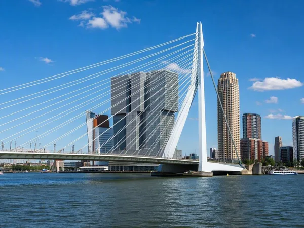
Rotterdam
1 linked stories and routes
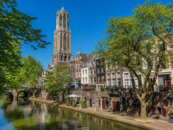
Utrecht
1 linked stories and routes
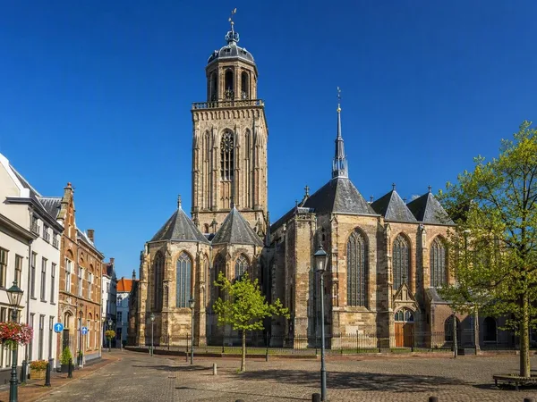
Deventer
1 linked stories and routes
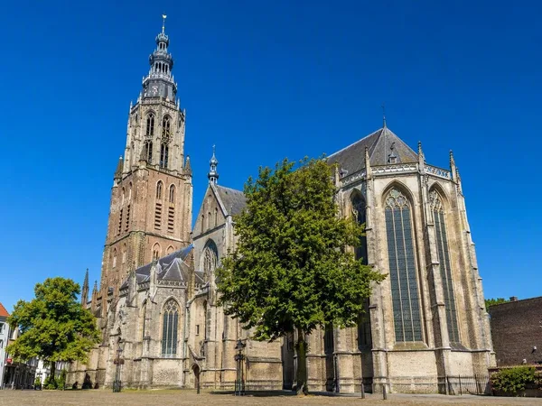
Zutphen
1 linked stories and routes
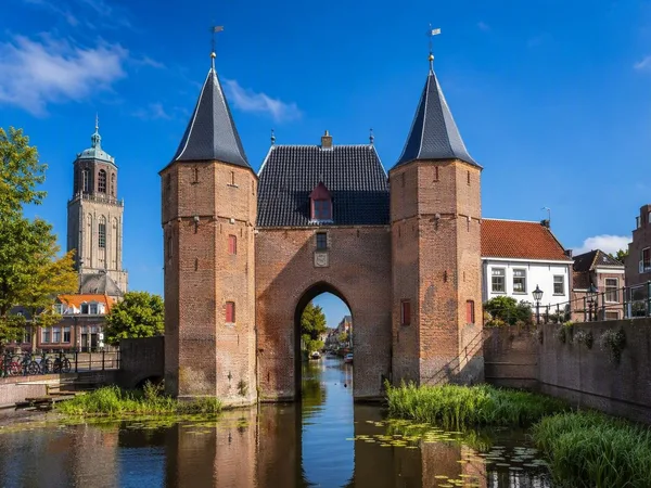
Zwolle
1 linked stories and routes
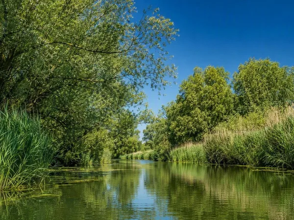
Biesbosch
1 linked stories and routes
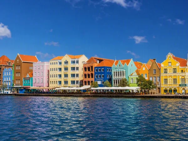
Curaçao
1 linked stories and routes
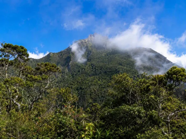
Saba
1 linked stories and routes
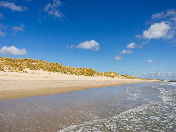
Schiermonnikoog
1 linked stories and routes
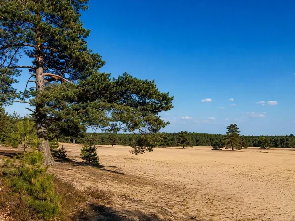
Veluwe
0 linked stories and routes