
Nature area · Netherlands
Wadden Sea, Netherlands
The Dutch Wadden Sea is the tidal coast between Den Helder and the Dollard in Groningen, sheltered by the Wadden Islands. Twice daily, retreating water exposes a working landscape of mudflats, channels and salt marshes.
Read the landscape
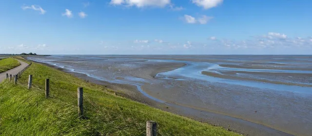
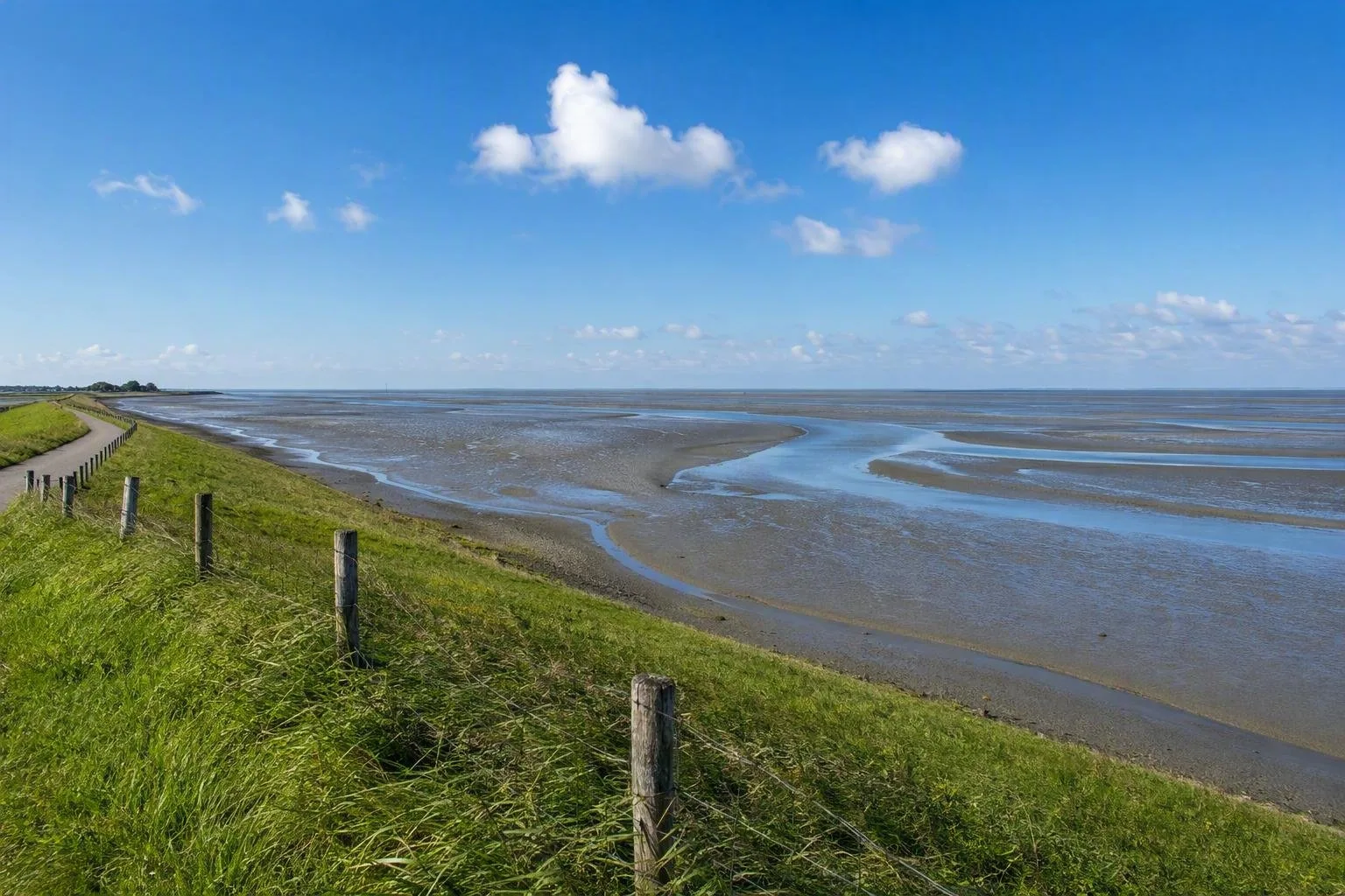
The Wadden Sea is not a conventional beach or a fixed strip of water. It is a vast intertidal system: at low tide, broad sand and mud flats emerge; at high tide, channels refill and the visible ground disappears. Wind and tides continually reshape sandbanks, gullies and marshes.
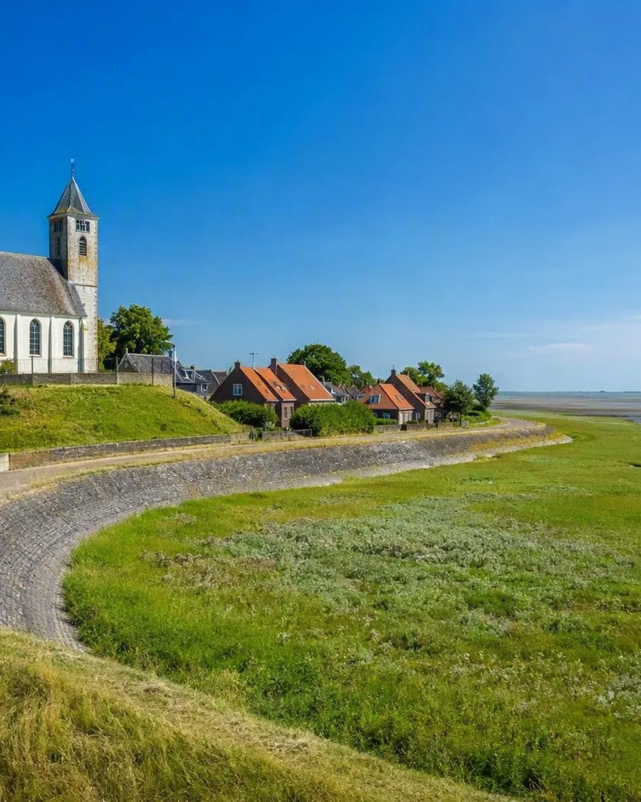
The Dutch section runs along North Holland, Fryslân and Groningen, with the islands forming a barrier between the Wadden Sea and the North Sea. Dikes make the contrast unusually clear: land, farm fields and mound villages lie on one side; salt marsh, tidal flats and open water lie on the other.
What to look for
A dike-top walk is the most reliable way to understand the scale. Look seaward at low tide for the branching channels and exposed flats; look inland for the engineered edge that made settlement possible.
The flats are feeding grounds for migratory birds, while exposed sandbanks provide resting places for seals. Keep binoculars useful rather than trying to get close. The key features are often distance, movement and an unobstructed horizon.
- Mudflats and sandbanks: exposed around low water, then submerged again.
- Salt marshes: vegetation adapted to regular flooding and salt.
- Tidal channels: shifting waterways that carry water across the flats.
- Dikes and terps: the human response to a coast that was once regularly flooded.
Ways to experience it
Use public dikes, coastal paths and designated viewing points for an independent visit. Cycling the mainland coast works especially well because the dike gives long, uninterrupted views. Ferries to Texel, Vlieland, Terschelling, Ameland and Schiermonnikoog cross the Wadden Sea and reveal the flats from water level, particularly near low tide.
For the tidal floor itself, join a guided mudflat walk. It is the proper way to experience the seabed, sediments and channels without turning a landscape lesson into a navigation problem.
Tide, access and care
Tide determines the visit. Low water exposes the flats; high water concentrates birds and covers much of the ground. Water can return quickly, and channels can be deep or fast-moving. Do not set out across the mudflats independently.
Stay on marked paths in protected areas and observe temporary closures, especially during breeding periods. Give birds and seals space: if animals react to your presence, you are too close. Keep dogs leashed where required, do not use drones, and stay out of closed zones.
Best timing
Spring and autumn bring major bird movements. Summer offers the easiest conditions for guided mudflat walks, while winter makes the exposed, weather-driven character of the coast particularly apparent. For any season, plan the day around the local tide table rather than the clock.
From the magazine
Stories about Wadden Sea, Netherlands
Editorial stories linked directly to Wadden Sea, Netherlands.
Routes from our editors
Travel through Wadden Sea, Netherlands
Editorial routes connecting Wadden Sea, Netherlands with other countries, cities and hotspots.
No routes through Wadden Sea, Netherlands have been published yet.
More in Netherlands
Related hotspots
Other cities, nature areas and places within Netherlands.
Amsterdam
6 linked stories and routes
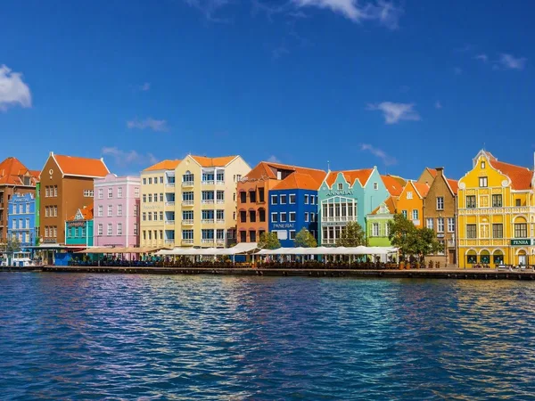
Curaçao
2 linked stories and routes
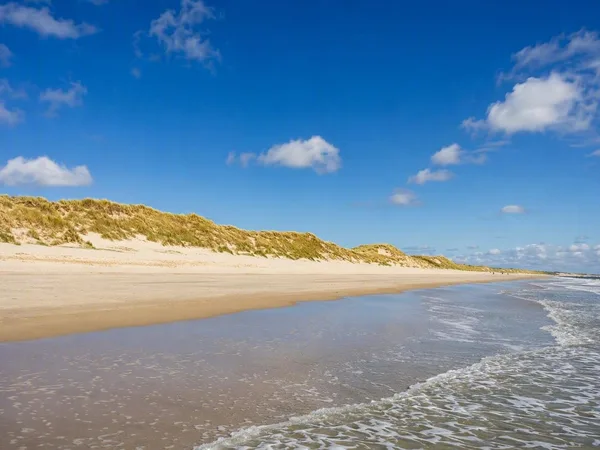
Schiermonnikoog
2 linked stories and routes
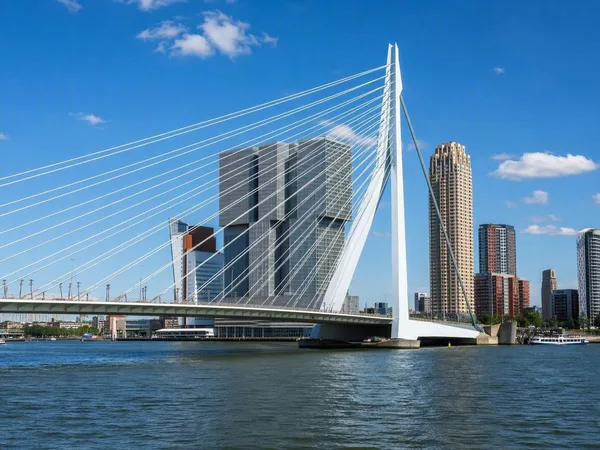
Rotterdam
1 linked stories and routes
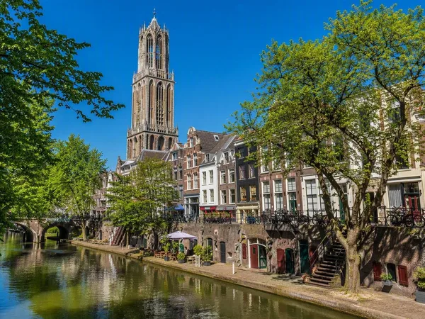
Utrecht
1 linked stories and routes
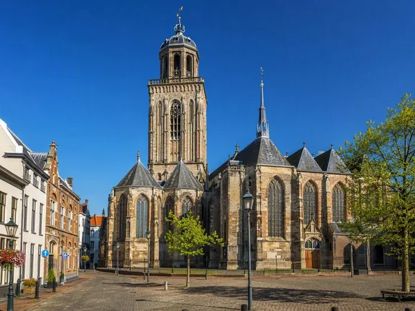
Deventer
1 linked stories and routes
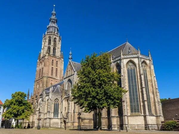
Zutphen
1 linked stories and routes
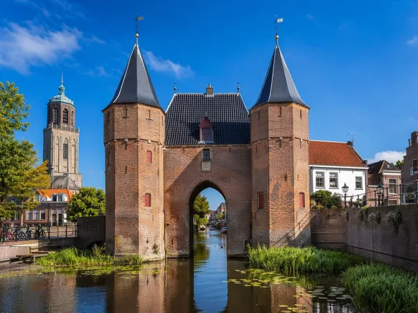
Zwolle
1 linked stories and routes
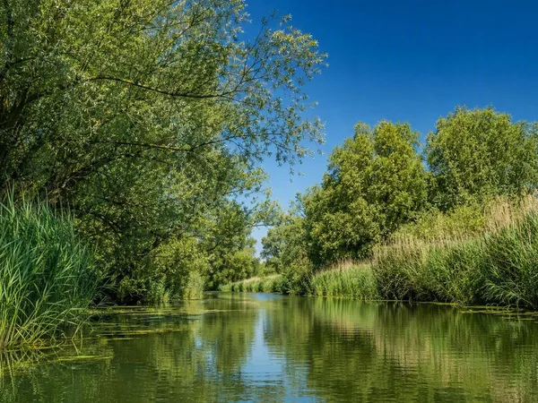
Biesbosch
1 linked stories and routes
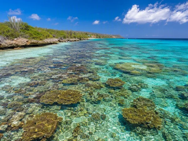
Bonaire
1 linked stories and routes
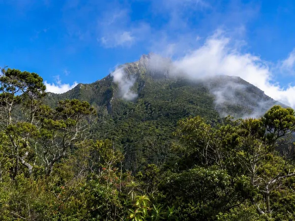
Saba
1 linked stories and routes
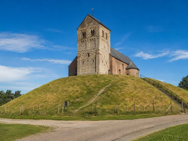
Hegebeintum
1 linked stories and routes
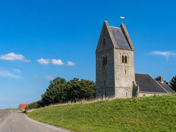
Wierum
1 linked stories and routes
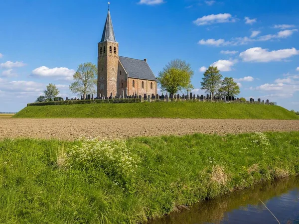
Friesland
1 linked stories and routes
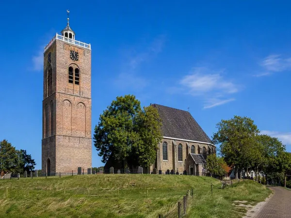
Holwerd
1 linked stories and routes
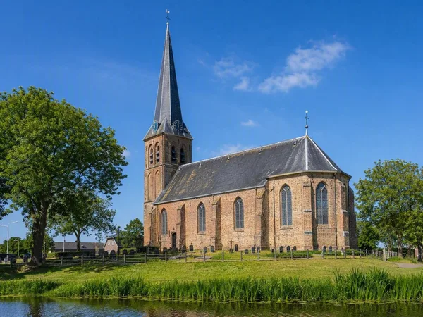
Ternaard
1 linked stories and routes
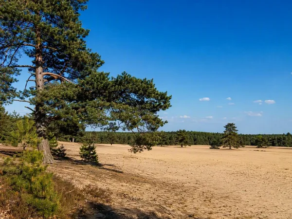
Veluwe
0 linked stories and routes