
Island · Netherlands
Curaçao
Curaçao is a Caribbean island and constituent country within the Kingdom of the Netherlands, just north of Venezuela. Its compact scale combines Willemstad’s historic harbour city with sheltered southwestern coves and a drier, rugged west.
Start with the island’s shape
Curaçao is a low, semi-arid Caribbean island with Willemstad concentrated on the south coast. The capital is the practical base for accommodation, restaurants and urban exploring; the west is where the landscape opens into limestone country, coves and protected areas.
The island is manageable by road, but its sights are spread out. Treat Willemstad and the western coast as separate days rather than trying to fit everything into one outing.
Willemstad: read the harbour city on foot
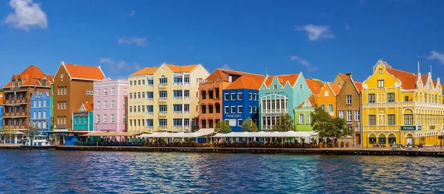
Willemstad grew around Sint Anna Bay, a natural harbour. Its historic core is formed by four distinct districts:
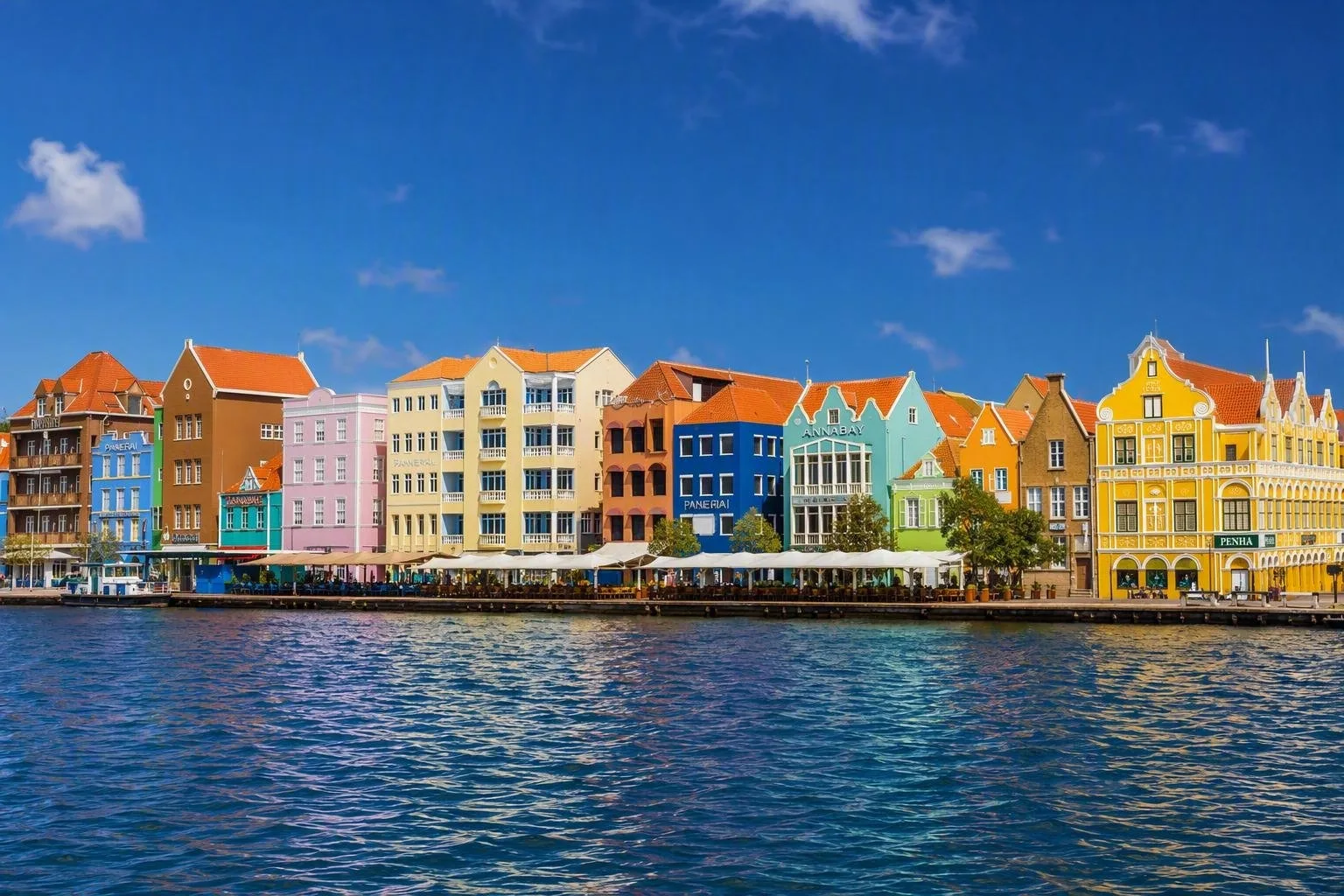
- Punda: the original fortified town, with Handelskade’s waterfront merchant houses, shops and Fort Amsterdam.
- Otrobanda: across the bay, with tighter lanes, murals, Rif Fort and Kurá Hulanda Village.
- Pietermaai: streets of historic houses, hotels and restaurants east of Punda.
- Scharloo: former merchant residences and street art around the Waaigat side of town.
Cross between Punda and Otrobanda on the Queen Emma Pontoon Bridge. It opens for harbour traffic, so allow for a pause rather than planning a timed connection. The historic area and harbour have World Heritage status; the architecture is best understood as a working port city, not a stage set.
For a direct local lunch, head to Plasa Bieu in Punda, where counters serve dishes such as karni stoba, fresh fish and kadushi soup.
Beaches, coast and inland
Most swimming beaches sit on the calmer southwestern shore. Playa Kenepa Grandi is a free public beach on the west coast; Playa Lagun is a small cove used by swimmers, snorkellers and divers; Cas Abao and Playa Porto Mari are established beach stops. Facilities and access conditions vary by beach.
For a rougher coast, visit Shete Boka, where walking trails run past inlets, caves, natural bridges and cliffs. Inland, Christoffel Park is the island’s largest protected reserve and includes Sint Christoffelberg, Curaçao’s highest point. Go early for a hike: exposed trails heat up quickly.
Getting around
A rental car is the most flexible way to reach beaches, parks and western villages. Most of the island can be reached in roughly 30–45 minutes by road, though traffic can extend journeys.
Buses include larger Konvoi buses and smaller vans; their main terminals are at Waaigat in Punda and in Otrobanda. Taxis are widely available, but fares are generally set rather than metered—agree the fare before leaving.
Timing and essentials
Use mornings for town walks and exposed nature. Keep water, sun protection and footwear for rocky entries or trails. Papiamentu, Dutch and English are official languages; Spanish is also widely encountered. On the coast, stay out of rough water and observe local warnings, especially around the wave-battered north side.
From the magazine
Stories about Curaçao
Editorial stories linked directly to Curaçao.
Routes from our editors
Travel through Curaçao
Editorial routes connecting Curaçao with other countries, cities and hotspots.
No routes through Curaçao have been published yet.
More in Netherlands
Related hotspots
Other cities, nature areas and places within Netherlands.
Amsterdam
3 linked stories and routes
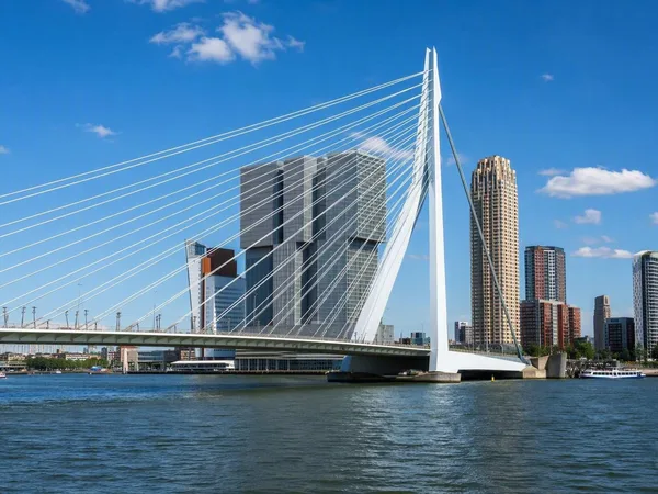
Rotterdam
1 linked stories and routes
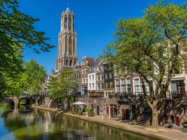
Utrecht
1 linked stories and routes
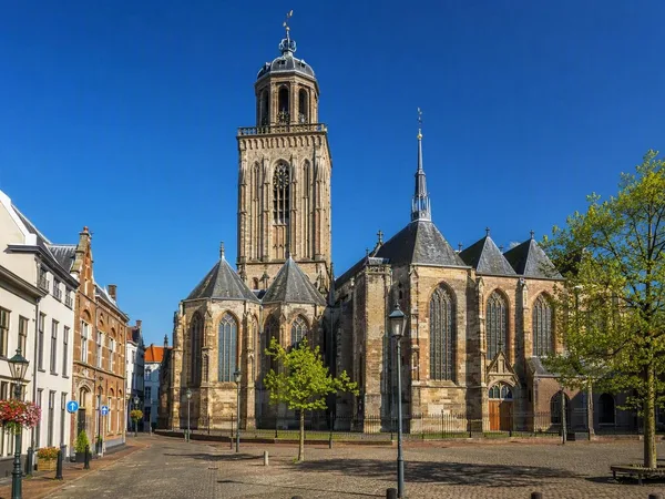
Deventer
1 linked stories and routes
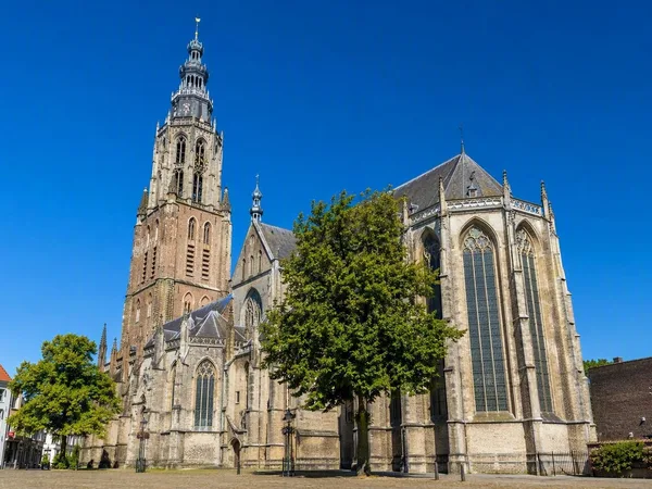
Zutphen
1 linked stories and routes
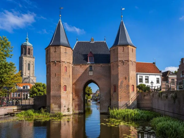
Zwolle
1 linked stories and routes
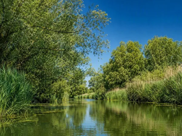
Biesbosch
1 linked stories and routes
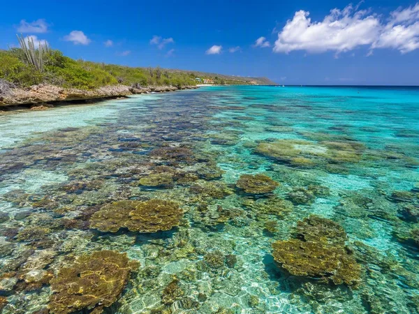
Bonaire
1 linked stories and routes
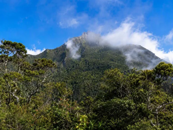
Saba
1 linked stories and routes
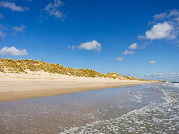
Schiermonnikoog
1 linked stories and routes
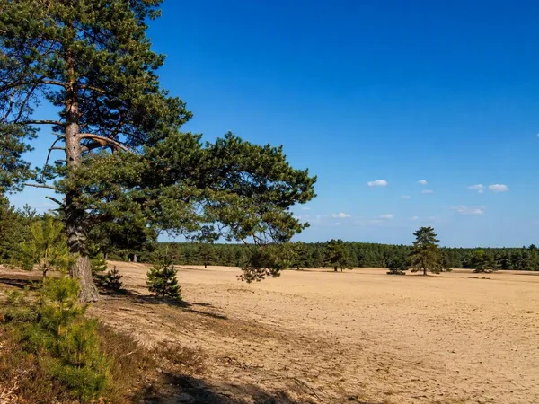
Veluwe
0 linked stories and routes