
Nature area · Bosnia and Herzegovina
Sarajevsko polje
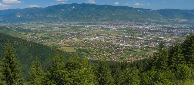
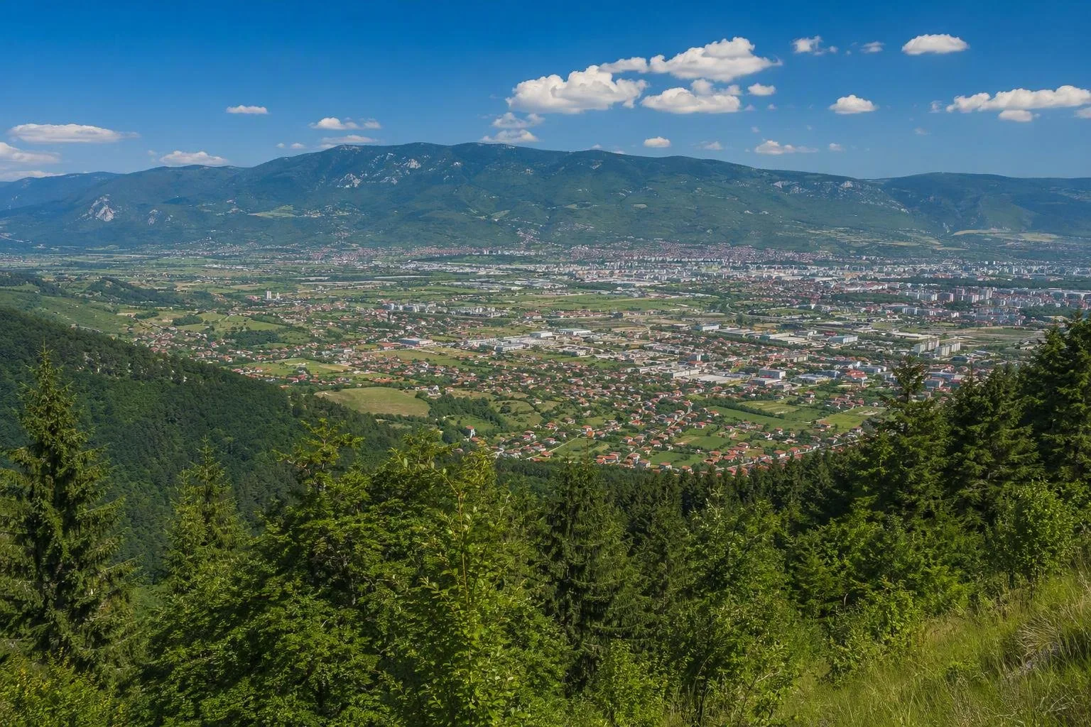
Sarajevsko polje is the broad intermontane plain beneath Sarajevo, where the city opens westward beyond its older, tighter valley. Its flat floor and mountain rim explain the scale and direction of modern Sarajevo.
What Sarajevsko polje is
Sarajevsko polje is the plain and basin on which Sarajevo developed. It is not a single park, square or attraction with an entrance: it is the large geographic setting that becomes most legible in western Sarajevo, around Novi Grad and Ilidža.
The basin sits at roughly 500 metres above sea level. Bjelašnica and Igman rise to the southwest, Trebević stands to the southeast, and lower mountains and ridges close the north and northwest. The terrain is markedly broader and flatter here than in the confined historic core.
Read the shape of the city
The named plain extends broadly from Blažuj in the west towards Bentbaša in the east. Its northern limit reaches Reljevo; its southern limit lies south of Vojkovići. Within Sarajevo, use the westbound journey from the centre to see the transition: the valley widens, long traffic corridors appear, and large residential districts occupy the level ground.
This is the practical key to Sarajevo’s urban geography. The old city follows the narrow Miljacka valley; the later city could spread across the plain. Mountains remain constantly present, but the field gave planners room for housing, workplaces and transport.
The modernist expansion
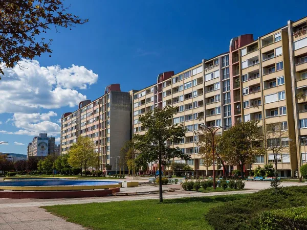
Sarajevo’s 1965–1986 General Urban Plan directed growth east–west, from the narrow Miljacka valley into Sarajevsko polje. Alipašino Polje, in Novi Grad, is the clearest large-scale result: a planned late-1970s residential district of tower blocks and lower slab buildings.
Look for the contrast between its perimeter towers and lower buildings within the estate. This is not an isolated architectural monument but a working neighbourhood. Read it as part of the plain’s larger pattern: apartment districts, broad roads, rail and tram infrastructure set against steep mountain edges.
Getting oriented
The tram is the simplest way to cross Sarajevo’s main east–west axis. Line 3 links Baščaršija and Ilidža and stops at Alipašino Polje, placing you directly in the western urban section of the basin.
For a short field lesson, get off around Alipašino Polje or Otoka and walk the public streets rather than searching for a formal viewpoint. Keep the skyline in view: broad level ground, dense post-war and socialist-era development, and the slopes of Igman make the geography immediately clear.
What to expect
There is no single trail, ticket office or defined visit duration. Sarajevsko polje is best treated as a lens for understanding Sarajevo while moving between its centre and western districts.
The plain includes residential, commercial and transport landscapes, not a protected scenic reserve. Use pavements and marked crossings on the main corridors; traffic is heavy and distances are larger than they appear on a city-centre map.
From the magazine
Stories about Sarajevsko polje
Editorial stories linked directly to Sarajevsko polje.
No stories about Sarajevsko polje have been published yet.
Routes from our editors
Travel through Sarajevsko polje
Editorial routes connecting Sarajevsko polje with other countries, cities and hotspots.
No routes through Sarajevsko polje have been published yet.
More in Bosnia and Herzegovina
Related hotspots
Other cities, nature areas and places within Bosnia and Herzegovina.
Sarajevo
6 linked stories and routes
Baščaršija, Sarajevo
4 linked stories and routes
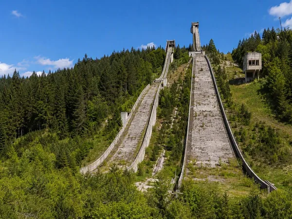
Igman
2 linked stories and routes
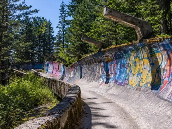
Trebević
2 linked stories and routes
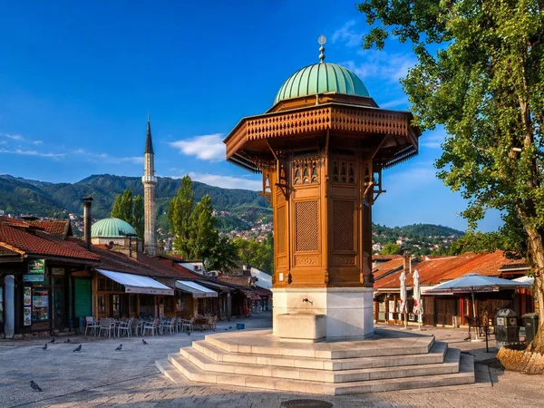
Stari Grad, Sarajevo
2 linked stories and routes
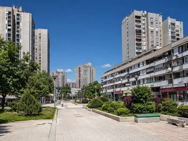
Alipašino Polje
2 linked stories and routes
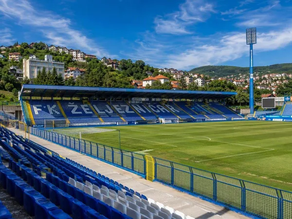
Novo Sarajevo
2 linked stories and routes
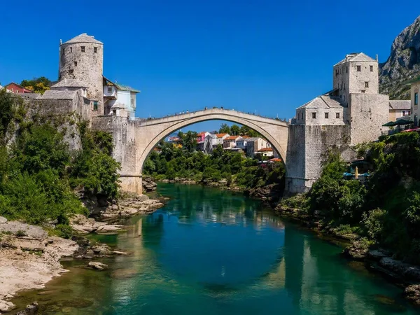
Stari Most (Old Bridge)
1 linked stories and routes
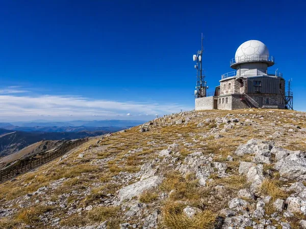
Bjelašnica Mountain
1 linked stories and routes
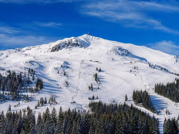
Jahorina
1 linked stories and routes
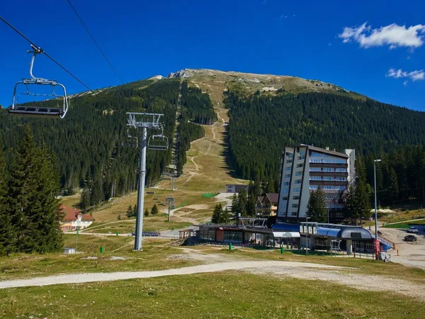
Babin Do, Bjelašnica
1 linked stories and routes
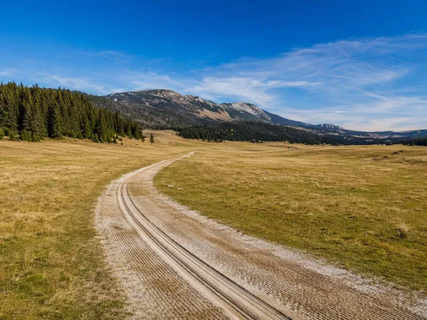
Veliko Polje, Igman
1 linked stories and routes
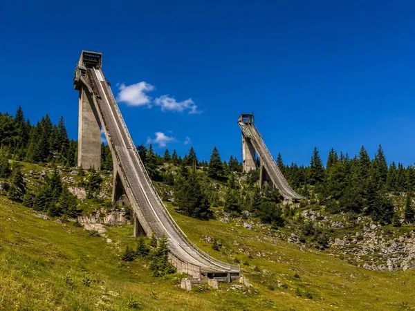
Malo Polje Ski Jumps
1 linked stories and routes
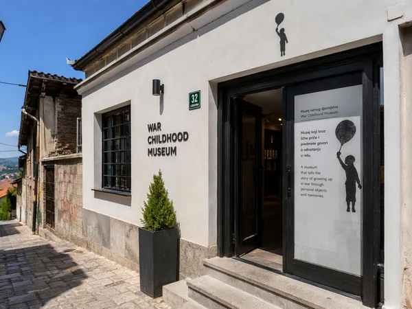
War Childhood Museum
1 linked stories and routes
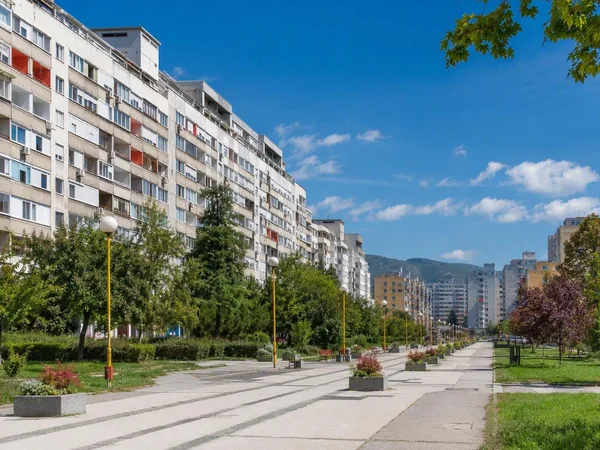
Dobrinja
1 linked stories and routes
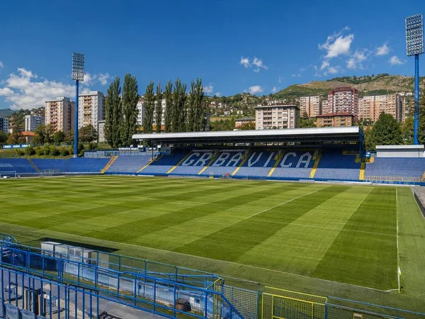
Grbavica
1 linked stories and routes
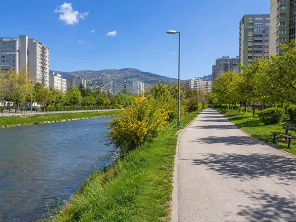
Hrasno, Sarajevo
1 linked stories and routes
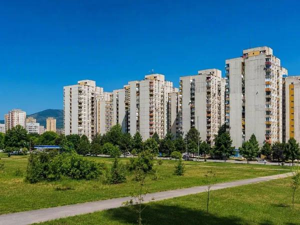
Novi Grad, Sarajevo
1 linked stories and routes
Mojmilo
1 linked stories and routes
Vijećnica (Sarajevo City Hall)
1 linked stories and routes
Latin Bridge
1 linked stories and routes
Vrelo Bosne
1 linked stories and routes
Marijin Dvor
1 linked stories and routes
Ilidža
1 linked stories and routes
Mostar
0 linked stories and routes