
City · Bosnia and Herzegovina
Novi Grad, Sarajevo
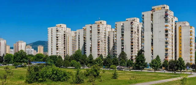
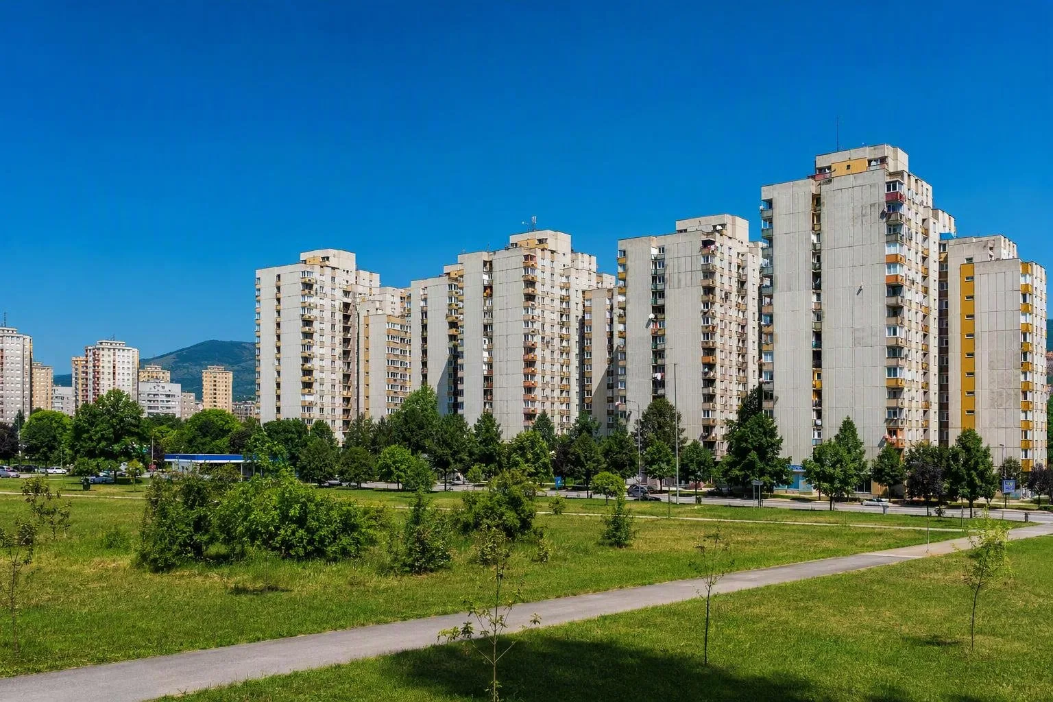
Novi Grad is Sarajevo’s western constituent municipality, spread across the Sarajevo plain beyond the historic centre. Its large postwar-rebuilt housing districts—including Alipašino Polje, Mojmilo, Saraj Polje and Dobrinja—make it the city’s clearest introduction to late-Yugoslav urban expansion.
What Novi Grad is
Novi Grad is not an old-town sightseeing quarter. It is a large, lived-in section of Sarajevo shaped by rapid late-20th-century growth: broad roads, tram corridors, schools, shops, sports grounds and extensive apartment housing. The municipality was formed in 1978 during Sarajevo’s expansion onto the Sarajevo plain.
This is the right place to read Sarajevo as a modern city rather than as an Ottoman or Austro-Hungarian centre. The scale is substantial: the municipality covers about 47 square kilometres and had 118,553 residents at the 2013 census.
Read the planned housing estates
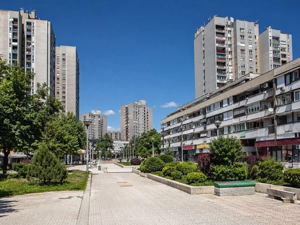
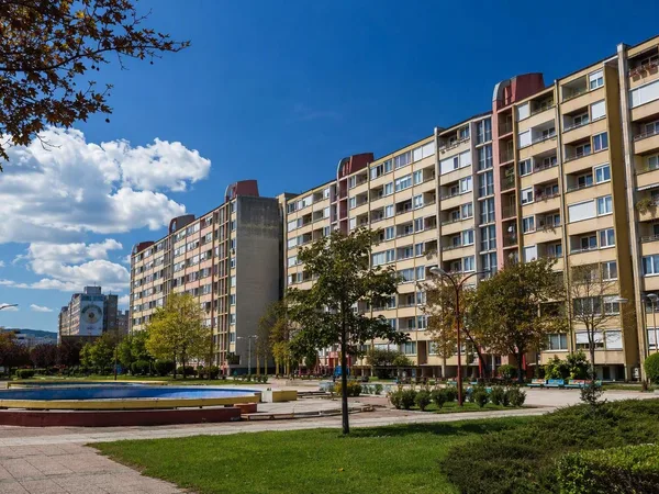
Start with Alipašino Polje, the most coherent large-scale ensemble in Novi Grad. Its A, B and C phases organise repeated residential blocks around pedestrian spaces, local services and greenery. Look for the contrast between long, low horizontal slabs, taller towers and the open space between them.
Continue through the wider residential fabric rather than treating one block as a monument. Novi Grad’s interest lies in the network:
- Alipašino Polje for its three-phase planned layout and dense collective housing.
- Mojmilo and Olimpijsko Selo for housing climbing towards the slopes.
- Saraj Polje for another broad section of the plain.
- Dobrinja for a major district on the municipality’s western side.
These are working neighbourhoods. The useful experience is a measured walk: follow the paths through courtyards, note the schools and small commercial units, then look back towards the basin’s surrounding hills.
War, repair and the present city
Novi Grad was heavily damaged during the 1992–95 war, affecting homes, public buildings, roads and infrastructure. Reconstruction since 1996 is part of what you see: repaired façades beside older concrete fabric, renewed public areas and later development inserted into the original urban plan.
Do not reduce the area to its wartime history. It is primarily residential Sarajevo: people commuting, shopping, attending school and using parks and local facilities. That everyday function is central to understanding why these estates were built at such scale.
Getting oriented
Use the central city as your reference point, then move west along Sarajevo’s valley into Novi Grad. The municipality is broad, so choose one or two districts rather than attempting to cross it entirely on foot. Alipašino Polje is the most efficient first stop; its public spaces make the planning legible without needing access to residential buildings.
Keep to public paths and streets. Courtyards, entrances and playgrounds are part of active residential communities, not open-air museum displays.
Best way to visit
Go in daylight, when the relationship between buildings, paths and green space is easiest to see. Allow two to three hours for Alipašino Polje and its immediate surroundings; add time if continuing towards Mojmilo or Dobrinja. The point is observation, not a checklist: move slowly enough to see how a mass-housing plan has been adapted, repaired and inhabited over decades.
From the magazine
Stories about Novi Grad, Sarajevo
Editorial stories linked directly to Novi Grad, Sarajevo.
No stories about Novi Grad, Sarajevo have been published yet.
Routes from our editors
Travel through Novi Grad, Sarajevo
Editorial routes connecting Novi Grad, Sarajevo with other countries, cities and hotspots.
No routes through Novi Grad, Sarajevo have been published yet.
More in Bosnia and Herzegovina
Related hotspots
Other cities, nature areas and places within Bosnia and Herzegovina.
Sarajevo
6 linked stories and routes
Baščaršija, Sarajevo
4 linked stories and routes
Igman
2 linked stories and routes
Trebević
2 linked stories and routes
Stari Grad, Sarajevo
2 linked stories and routes
Alipašino Polje
2 linked stories and routes
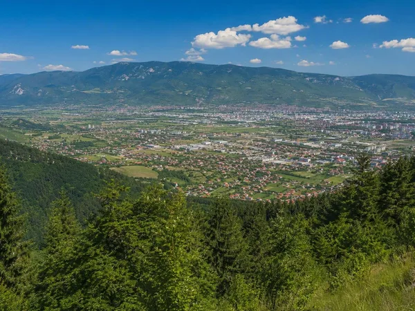
Sarajevsko polje
2 linked stories and routes
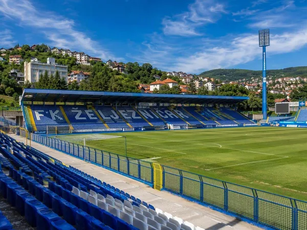
Novo Sarajevo
2 linked stories and routes
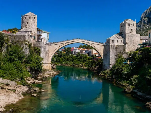
Stari Most (Old Bridge)
1 linked stories and routes
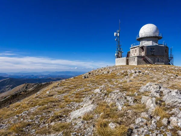
Bjelašnica Mountain
1 linked stories and routes
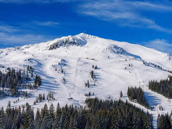
Jahorina
1 linked stories and routes
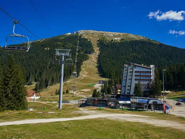
Babin Do, Bjelašnica
1 linked stories and routes
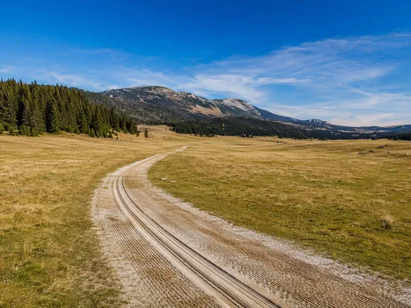
Veliko Polje, Igman
1 linked stories and routes
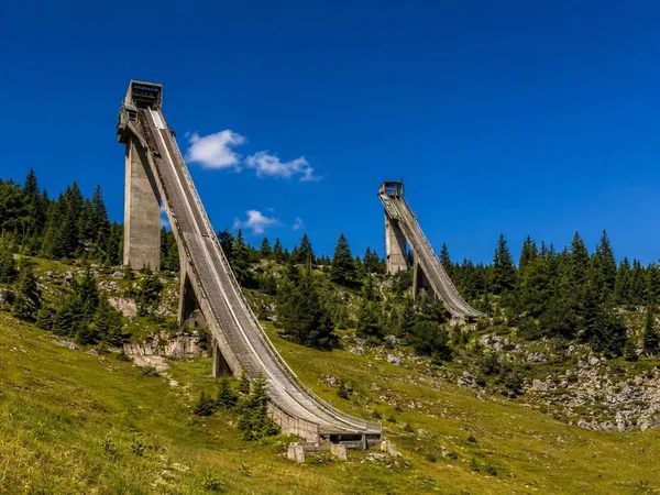
Malo Polje Ski Jumps
1 linked stories and routes
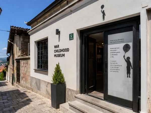
War Childhood Museum
1 linked stories and routes
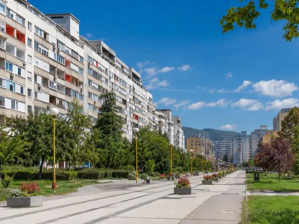
Dobrinja
1 linked stories and routes
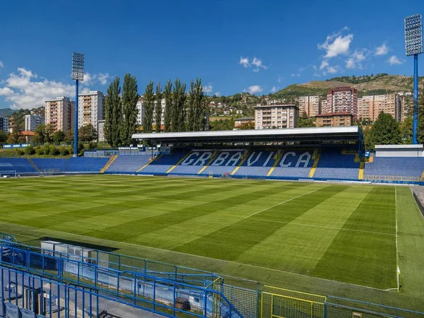
Grbavica
1 linked stories and routes
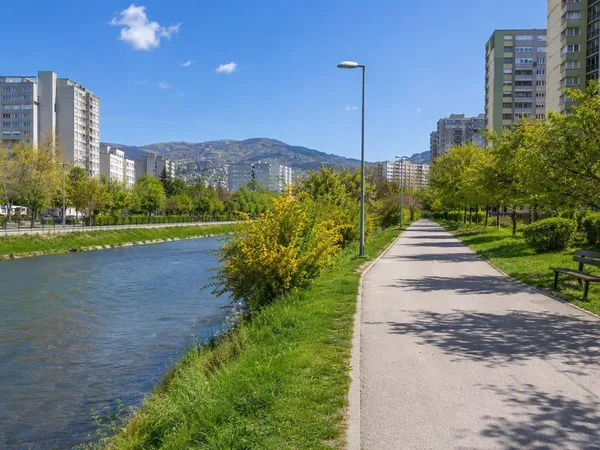
Hrasno, Sarajevo
1 linked stories and routes
Mojmilo
1 linked stories and routes
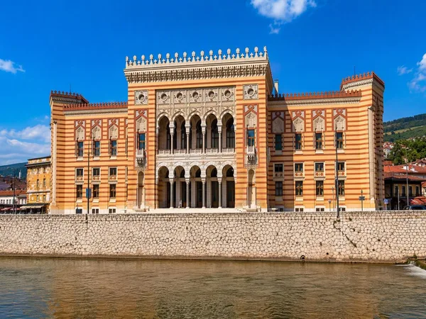
Vijećnica (Sarajevo City Hall)
1 linked stories and routes
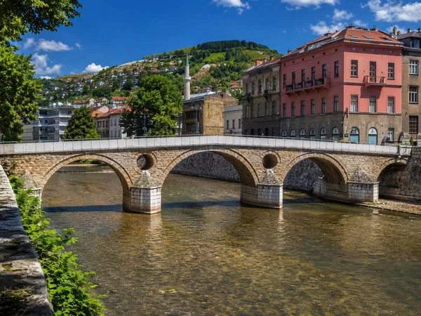
Latin Bridge
1 linked stories and routes
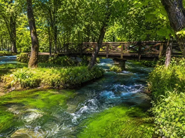
Vrelo Bosne
1 linked stories and routes
Marijin Dvor
1 linked stories and routes
Ilidža
1 linked stories and routes
Mostar
0 linked stories and routes