
Mountain · Bosnia and Herzegovina
Bjelašnica Mountain
Bjelašnica is a 2,067-metre Dinaric mountain southwest of Sarajevo, with the Babin Do ski area on its northern side. It hosted the men’s alpine events at the 1984 Winter Olympics and remains a working ski and hiking mountain.
Know the mountain
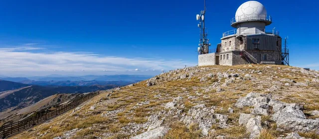
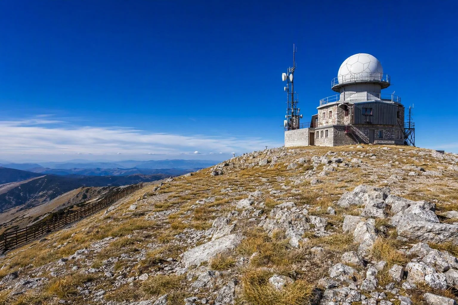
Bjelašnica rises southwest of Sarajevo to 2,067 metres at Opservatorij, the summit weather station. The mountain is exposed, with open upper slopes above the forest line and conditions that can turn quickly from clear to foggy, windy or wintry.
For the conventional ski-resort visit, head to Babin Do at about 1,266 metres. This is the practical base for lifts, pistes, equipment rental, food and accommodation. It is not the summit; the top lies roughly 800 vertical metres higher.
The 1984 Olympic slopes
Bjelašnica staged the men’s downhill, giant slalom and slalom at the Sarajevo Winter Olympics in 1984. Its steep, high and weather-exposed terrain was chosen for the men’s races, while Jahorina held the women’s alpine events.
The Olympic downhill ran from near the summit to Babin Do. The mountain is not an open-air museum: its legacy is most legible in the line of the pistes, lift infrastructure and the steep fall towards the base. The summit observatory, first established in 1894, remains the clearest landmark at the top.
Skiing from Babin Do
The Olympic Centre’s Babin Do area has marked ski runs, children’s runs, chairlifts and surface lifts, with routes reaching toward the summit. The centre also operates snowmaking and selected illuminated terrain for night skiing when conditions and the programme allow.
- Best fit: confident skiers looking for a compact, steeper mountain rather than a large resort network.
- Passes: a Bjelašnica ski pass also covers the Olympic Centre’s Igman area; an Igman-only pass does not cover Bjelašnica.
- On the day: lift openings and upper-mountain access depend on snow, wind and visibility. Confirm the current piste and lift status before buying a pass.
Hiking and summer access
In snow-free months, marked routes lead from Babin Do through forest and onto the open high ground toward the summit observatory. Mountain biking is also established across the Bjelašnica–Igman area.
Treat the summit route as a mountain outing, not a resort stroll. Carry water, warm layers and offline navigation; fog and wind can make the open plateau disorienting even in summer. Stay on marked paths and roads. Some unmarked parts of the wider mountain area retain residual mine risk from the 1990s war.
Getting there
Bjelašnica is about 25 kilometres from Sarajevo. A car, taxi or arranged transfer is the most dependable way to reach Babin Do; seasonal ski buses may operate in winter. In snowy weather, use properly equipped transport and allow extra time for the mountain road.
From the magazine
Stories about Bjelašnica Mountain
Editorial stories linked directly to Bjelašnica Mountain.
No stories about Bjelašnica Mountain have been published yet.
Routes from our editors
Travel through Bjelašnica Mountain
Editorial routes connecting Bjelašnica Mountain with other countries, cities and hotspots.
No routes through Bjelašnica Mountain have been published yet.
More in Bosnia and Herzegovina
Related hotspots
Other cities, nature areas and places within Bosnia and Herzegovina.
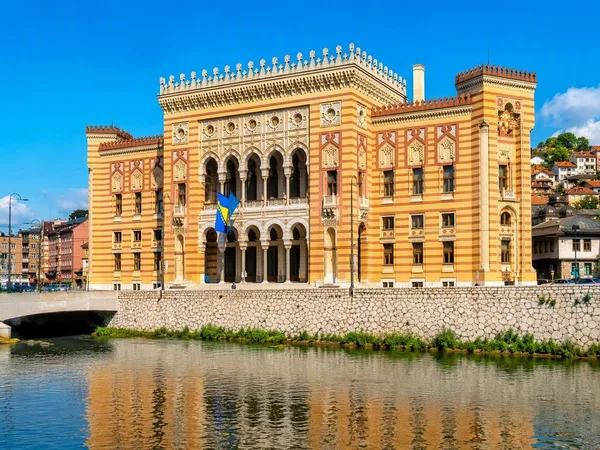
Sarajevo
3 linked stories and routes
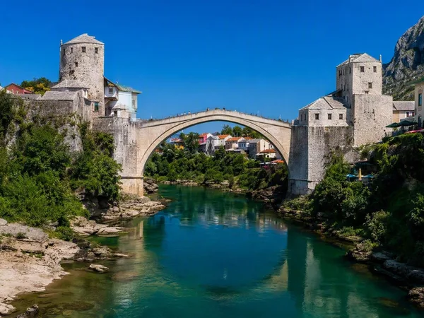
Stari Most (Old Bridge)
1 linked stories and routes
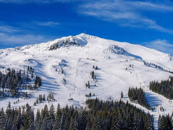
Jahorina
1 linked stories and routes
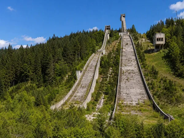
Igman
1 linked stories and routes
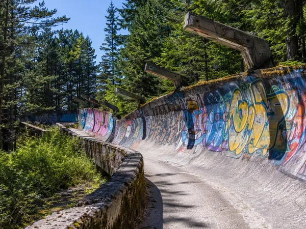
Trebević
1 linked stories and routes
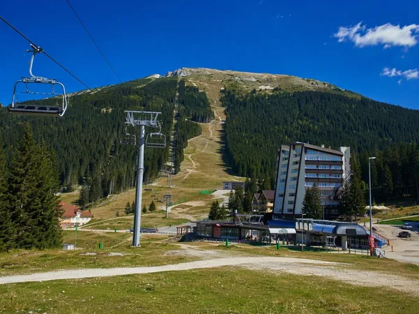
Babin Do, Bjelašnica
1 linked stories and routes
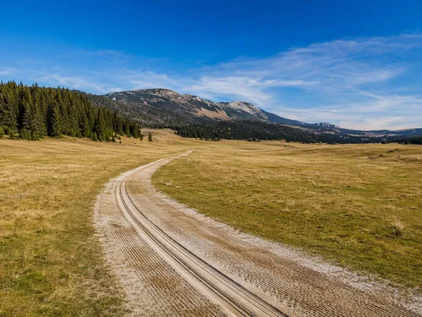
Veliko Polje, Igman
1 linked stories and routes
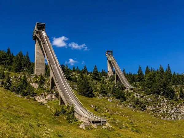
Malo Polje Ski Jumps
1 linked stories and routes

War Childhood Museum
1 linked stories and routes
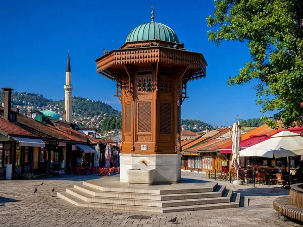
Baščaršija, Sarajevo
1 linked stories and routes
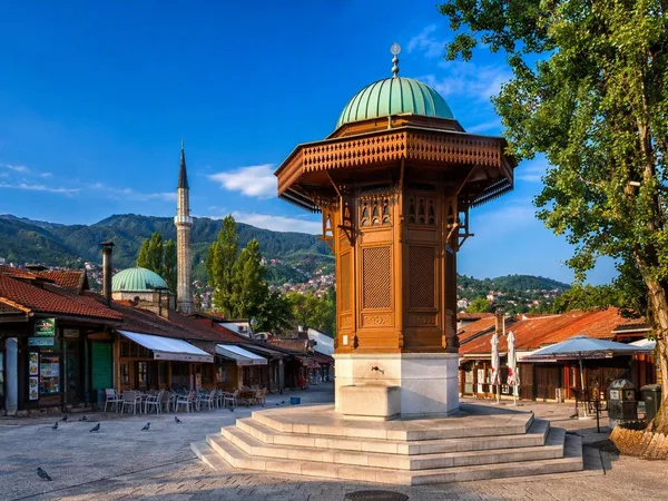
Stari Grad, Sarajevo
1 linked stories and routes
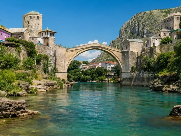
Mostar
0 linked stories and routes