
Neighbourhood · Bosnia and Herzegovina
Dobrinja
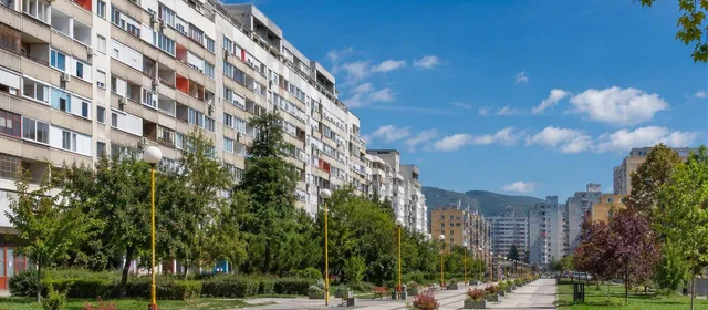
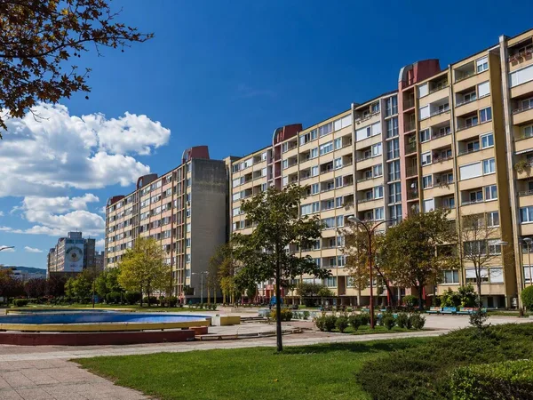
Dobrinja is Sarajevo’s planned residential district beside the airport, built around the 1984 Winter Olympics and shaped by the siege that followed. Its long housing blocks, green courts and pedestrian spine reveal a different Sarajevo from the Ottoman-era centre.
Orientation
Dobrinja lies on Sarajevo’s south-western edge, north of the airport, in the flat Sarajevo Field. It is a substantial residential district rather than a collection of visitor sights. Come to read the city’s late-Yugoslav expansion in the street plan: long apartment blocks, separated pedestrian routes, planted strips and shared green space.
The district developed in five phases, Dobrinja I to V. Its physical fabric remains coherent even though the post-war inter-entity boundary affects parts of Dobrinja I and IV.
Olympic housing, still inhabited
The first phases were completed in 1983 as accommodation for the international press during the 1984 Winter Olympics. Afterwards, the flats became permanent homes. This was not a temporary Olympic compound: it was designed as a working neighbourhood, with schools, shops and transport built into the plan.
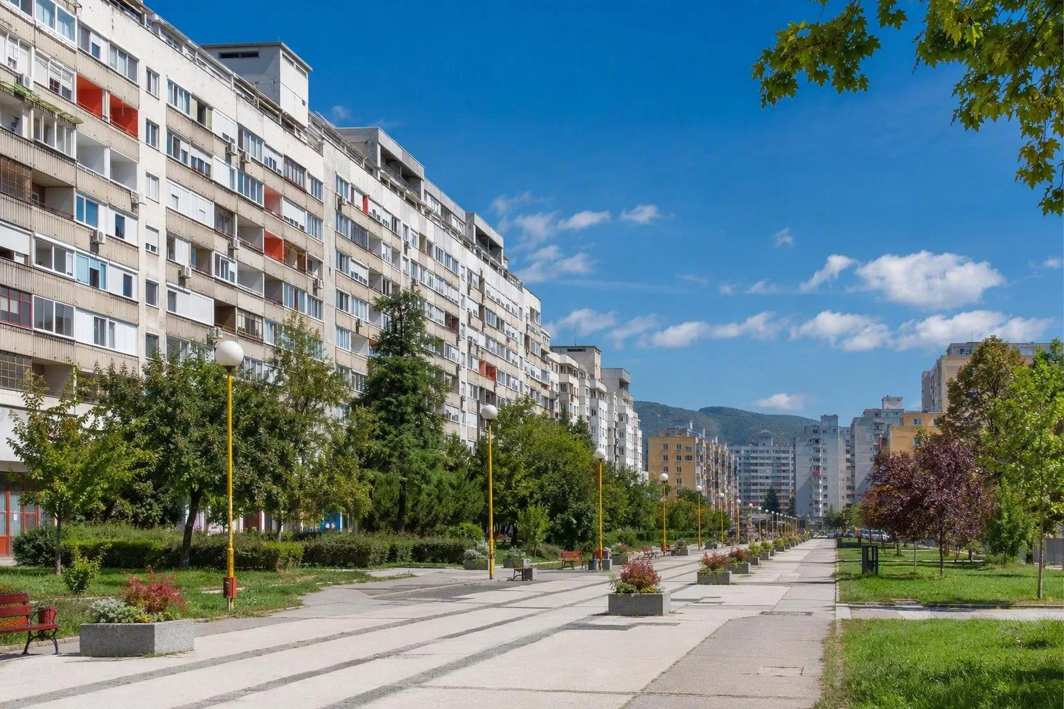
Walk slowly through the residential courts rather than treating the area as a monument. Look for:
- linked entrance sections and linear blocks set back from the road;
- façades broken by geometric concrete details;
- ground-floor shops and small services in central stretches;
- the broad pedestrian axis of Bulevar branilaca Dobrinje.
The boulevard is roughly a kilometre-long pedestrian route. Vehicle access is restricted in parts of the day, so it works best as the district’s walking spine.
Siege and the boundary line
Dobrinja’s position beside the airport and Lukavica made it a frontline district during the siege of Sarajevo. The damage and isolation of the 1990s are essential context for the rebuilt blocks and everyday life seen now.
After the Dayton Agreement, the inter-entity boundary line ran through Dobrinja I and IV, at points cutting across apartment buildings. A binding arbitration in 2001 established its final course. This is an administrative boundary, not a visitor attraction; treat memorials and residential streets with restraint.
Getting there and moving around
Use trolleybus 103 between Dobrinja and Trg Austrije, near the old centre. It is the most direct public-transport link for a visit from central Sarajevo. Trolleybus 108 links Dobrinja with Otoka via Mojmilo and Alipašino Polje.
Get off at the Dobrinja terminal or one of the Dobrinja stops, then continue on foot. The district is large but level, and its pedestrian paths make walking more useful than trying to see it from a vehicle. Tram 3 does not reach Dobrinja; use it for the Sarajevo east-west corridor, then change at Otoka if required.
A practical visit
Allow 60 to 90 minutes for the boulevard and surrounding courts. This is a lived-in neighbourhood: keep entrances, school grounds and private courtyards clear. Dobrinja is most rewarding when paired with Novi Grad and other post-war Sarajevo districts, not as a substitute for the historic centre.
From the magazine
Stories about Dobrinja
Editorial stories linked directly to Dobrinja.
No stories about Dobrinja have been published yet.
Routes from our editors
Travel through Dobrinja
Editorial routes connecting Dobrinja with other countries, cities and hotspots.
No routes through Dobrinja have been published yet.
More in Bosnia and Herzegovina
Related hotspots
Other cities, nature areas and places within Bosnia and Herzegovina.
Sarajevo
6 linked stories and routes
Baščaršija, Sarajevo
4 linked stories and routes
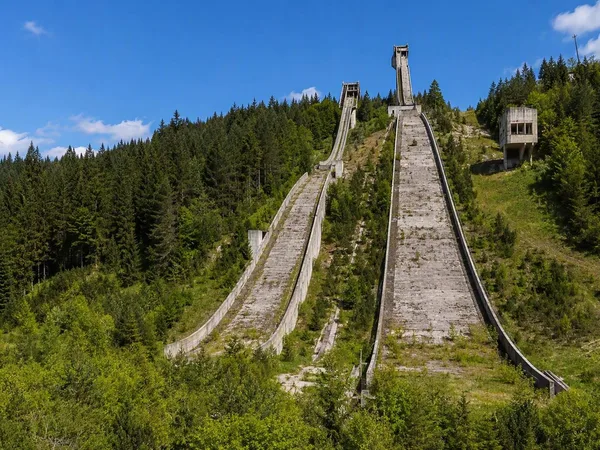
Igman
2 linked stories and routes
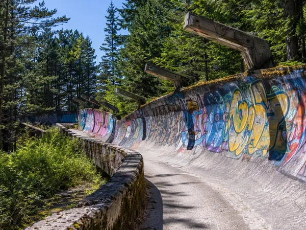
Trebević
2 linked stories and routes
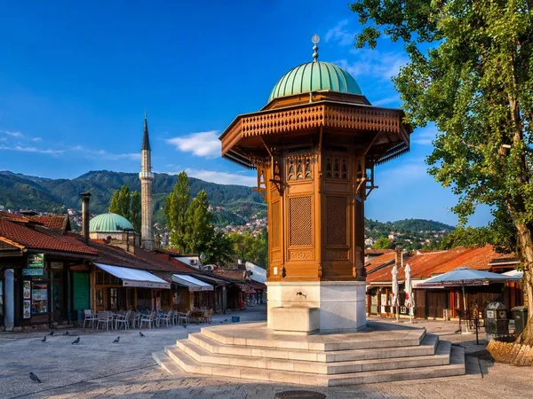
Stari Grad, Sarajevo
2 linked stories and routes
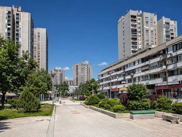
Alipašino Polje
2 linked stories and routes
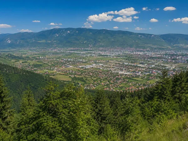
Sarajevsko polje
2 linked stories and routes
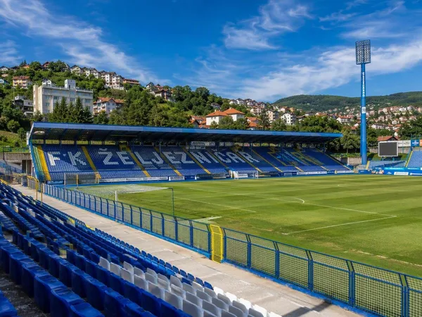
Novo Sarajevo
2 linked stories and routes
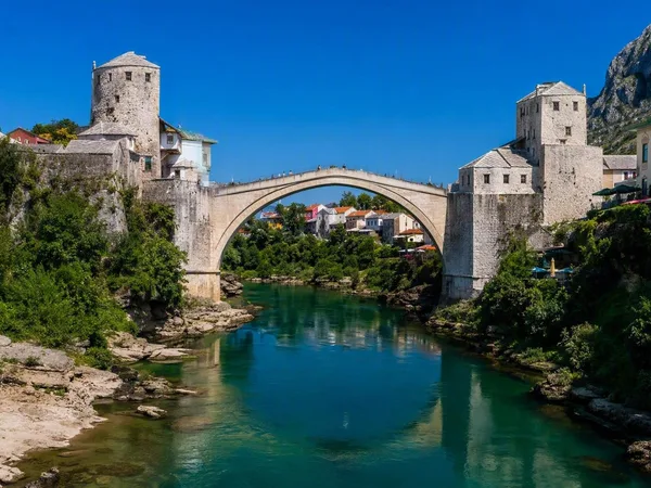
Stari Most (Old Bridge)
1 linked stories and routes
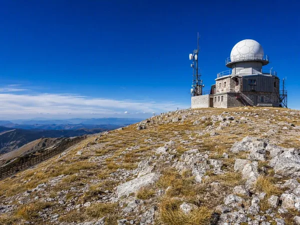
Bjelašnica Mountain
1 linked stories and routes
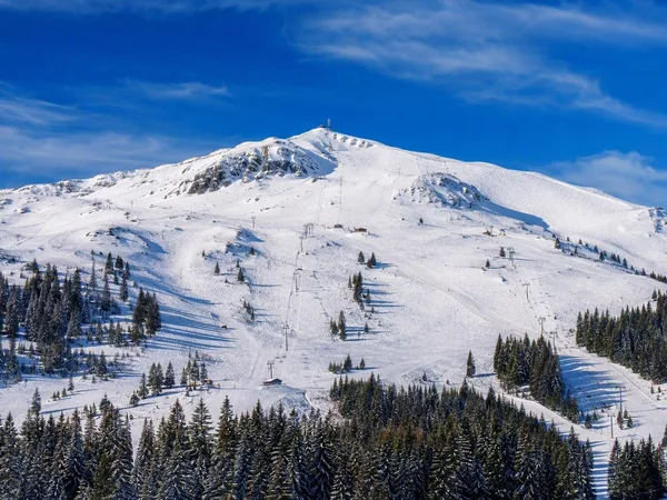
Jahorina
1 linked stories and routes
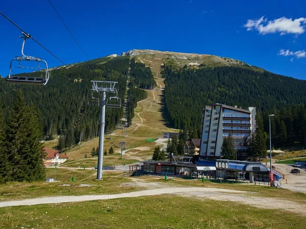
Babin Do, Bjelašnica
1 linked stories and routes
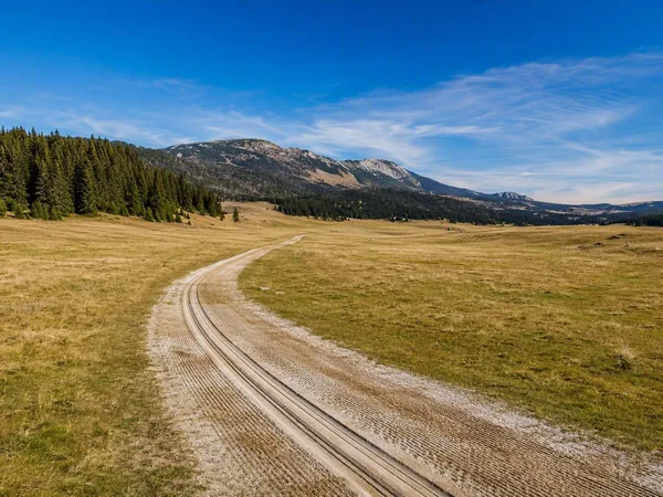
Veliko Polje, Igman
1 linked stories and routes
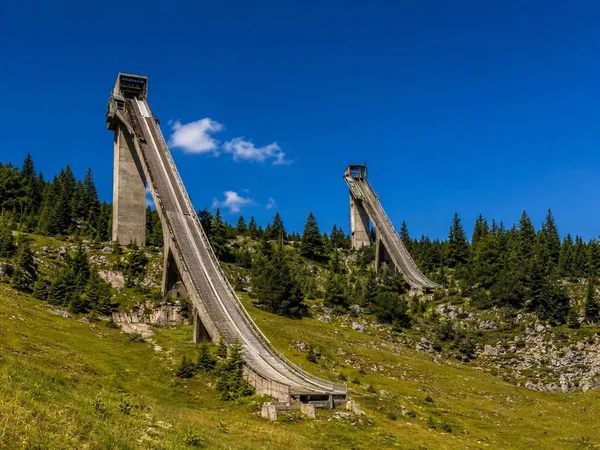
Malo Polje Ski Jumps
1 linked stories and routes
War Childhood Museum
1 linked stories and routes
Grbavica
1 linked stories and routes
Hrasno, Sarajevo
1 linked stories and routes
Novi Grad, Sarajevo
1 linked stories and routes
Mojmilo
1 linked stories and routes
Vijećnica (Sarajevo City Hall)
1 linked stories and routes
Latin Bridge
1 linked stories and routes
Vrelo Bosne
1 linked stories and routes
Marijin Dvor
1 linked stories and routes
Ilidža
1 linked stories and routes
Mostar
0 linked stories and routes