
Neighbourhood · Bosnia and Herzegovina
Alipašino Polje
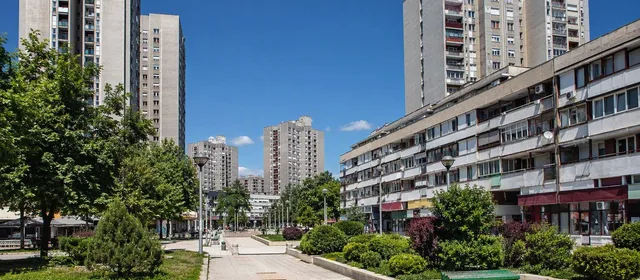
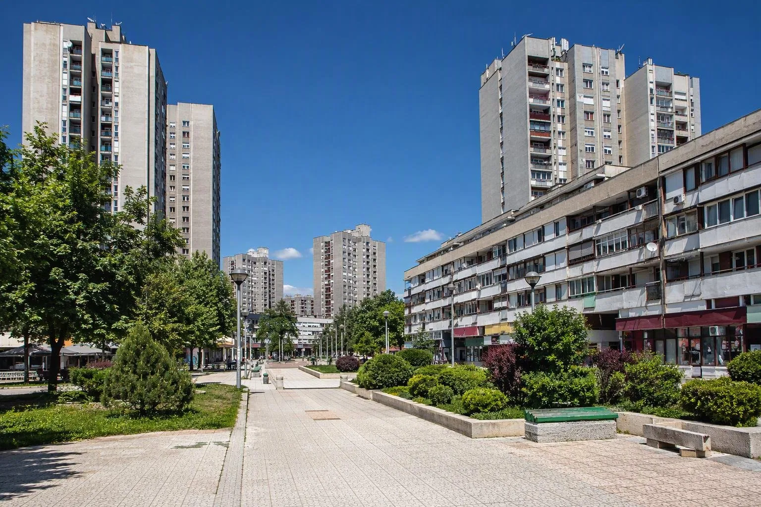
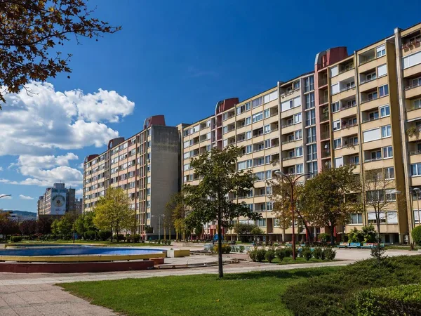
Alipašino Polje is a large planned residential neighbourhood in Novi Grad, western Sarajevo. Built largely in the late 1970s, it is a clear lesson in the scale, concrete systems and pedestrian layout of socialist-era Sarajevo.
Orientation
Alipašino Polje occupies the flat western side of Sarajevo, in the municipality of Novi Grad. This is a lived-in residential district rather than a monument quarter: come to understand a major piece of the city’s late-socialist expansion, not to tick off individual sights.
The estate was laid out in phases A, B and C. Its 1974 regulatory plan turned a large tract of Sarajevo field into a self-contained housing district with schools, local services, open space and transport connections.
Read the urban design
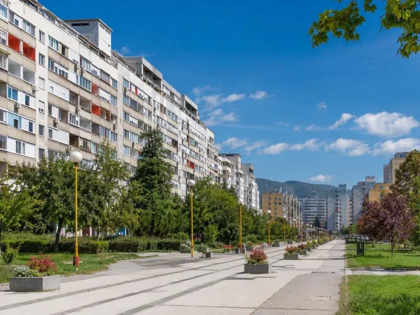
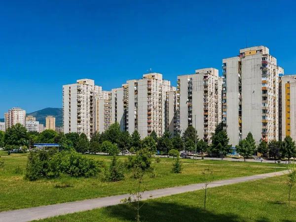
Start at the outer edge, along the main tram corridor. The tall residential towers make the strongest first impression. Walk inward and the scale drops: long, lower slab blocks frame pedestrian routes, planted spaces and local squares.
That transition is the point of the plan. The perimeter carries the visual weight; the middle is more sheltered and walkable. Look for the separation of through traffic from internal paths rather than treating the district as a collection of isolated concrete buildings.
A useful walking sequence:
- Arrive at the Alipašino Polje tram stop.
- Cross into the internal pedestrian network and follow it through the A, B and C phases.
- Compare the high outer blocks with the lower buildings and open spaces towards the centre.
- Pause at the local squares to see how shops, schools and everyday services were integrated into the housing plan.
Layers after socialism
The original housing fabric remains the essential draw, but the neighbourhood has accumulated later additions. Commercial premises and religious buildings sit beside the schools and apartment blocks. This mix makes the estate more legible as a working Sarajevo neighbourhood than as a frozen modernist scheme.
The district was exposed to the violence of the 1992–95 siege. Memorials and school names can carry serious local associations; treat them as places of remembrance, not photo backdrops.
Getting there and around
Tram line 3 serves the Alipašino Polje stop on the Baščaršija–Ilidža corridor, linking the district with the centre and west Sarajevo. Trolleybus routes 107 and 108 also call at Alipašino Polje, connecting it with Dobrinja, Mojmilo and other residential districts.
On foot: allow at least an hour to grasp the layout. The point is the walk between the blocks, not a quick stop from the tram platform. Internal pedestrian areas are designed for walking; use marked routes and keep clear of service access.
Best use of your time
Visit in daylight, when the relationship between towers, lower blocks and public space reads most clearly. Combine Alipašino Polje with nearby Otoka or continue by trolleybus towards Dobrinja if you are tracing Sarajevo’s post-war urban growth westward.
From the magazine
Stories about Alipašino Polje
Editorial stories linked directly to Alipašino Polje.
No stories about Alipašino Polje have been published yet.
Routes from our editors
Travel through Alipašino Polje
Editorial routes connecting Alipašino Polje with other countries, cities and hotspots.
No routes through Alipašino Polje have been published yet.
More in Bosnia and Herzegovina
Related hotspots
Other cities, nature areas and places within Bosnia and Herzegovina.
Sarajevo
6 linked stories and routes
Baščaršija, Sarajevo
4 linked stories and routes
Igman
2 linked stories and routes
Trebević
2 linked stories and routes
Stari Grad, Sarajevo
2 linked stories and routes
Sarajevsko polje
2 linked stories and routes
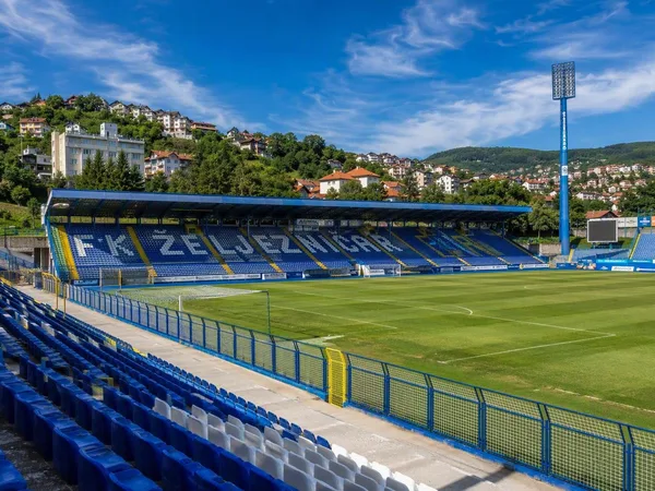
Novo Sarajevo
2 linked stories and routes
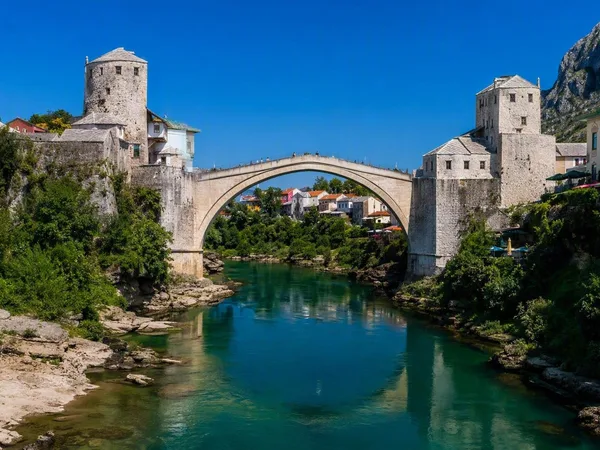
Stari Most (Old Bridge)
1 linked stories and routes
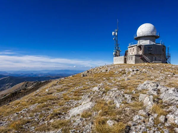
Bjelašnica Mountain
1 linked stories and routes
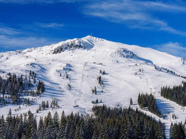
Jahorina
1 linked stories and routes
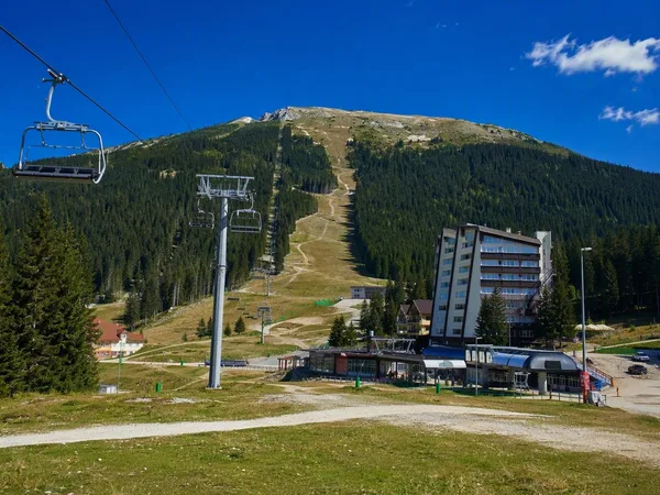
Babin Do, Bjelašnica
1 linked stories and routes
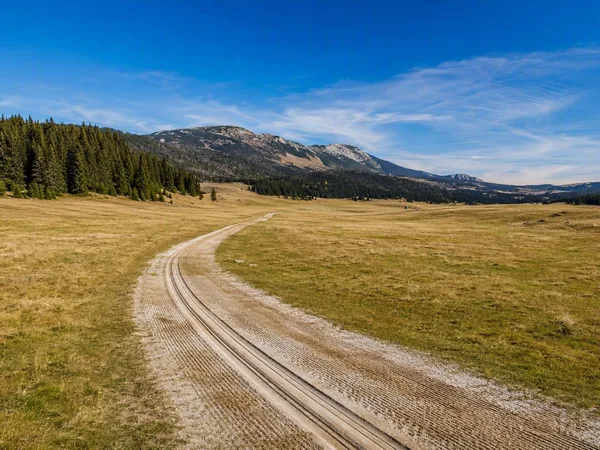
Veliko Polje, Igman
1 linked stories and routes
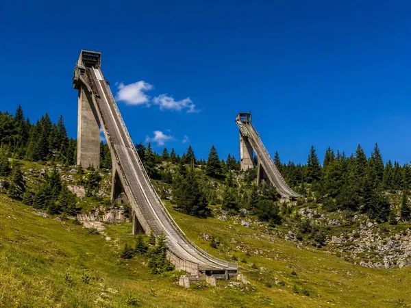
Malo Polje Ski Jumps
1 linked stories and routes
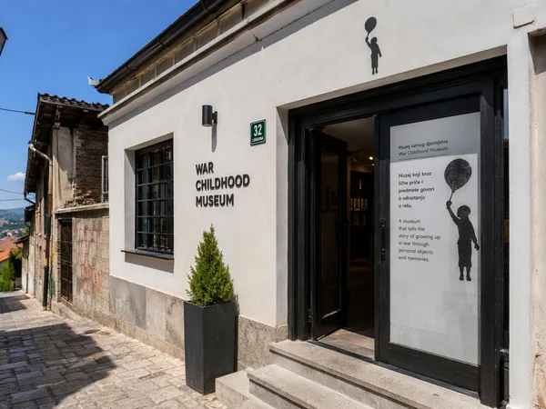
War Childhood Museum
1 linked stories and routes
Dobrinja
1 linked stories and routes
Grbavica
1 linked stories and routes
Hrasno, Sarajevo
1 linked stories and routes
Novi Grad, Sarajevo
1 linked stories and routes
Mojmilo
1 linked stories and routes
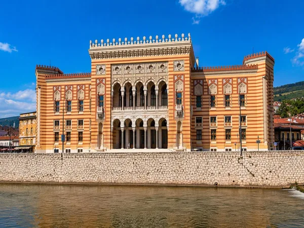
Vijećnica (Sarajevo City Hall)
1 linked stories and routes
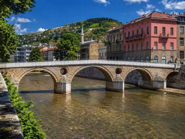
Latin Bridge
1 linked stories and routes
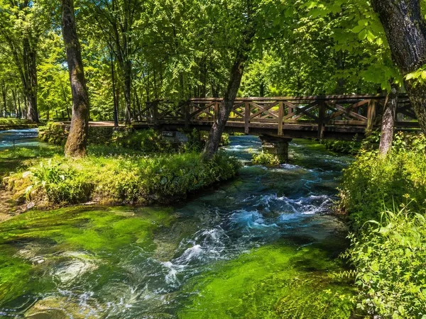
Vrelo Bosne
1 linked stories and routes
Marijin Dvor
1 linked stories and routes
Ilidža
1 linked stories and routes
Mostar
0 linked stories and routes