
City · Pakistan
Rawalpindi
Rawalpindi is a major commercial and garrison city on Punjab’s Potohar Plateau, immediately southwest of Islamabad. Its old-city markets and cantonment streets reveal the older half of Pakistan’s twin-city pair.
Read the city correctly
Rawalpindi is not a suburb of Islamabad. It is the older, denser city: a long-standing trading and military centre on the Potohar Plateau, about 14 km southwest of the national capital. The two cities work as a connected urban pair, but Rawalpindi’s character is set by its markets, railway and cantonment rather than Islamabad’s planned sectors.
The present town was restored by the Gakhar chief Jhanda Khan after the Mongol invasions. It grew as a trading centre under Sikh rule, then became a major British garrison after Punjab was annexed in 1849. Pakistan used Rawalpindi as its capital from 1959 to 1969 while Islamabad was being built.
Start in the old city
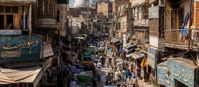
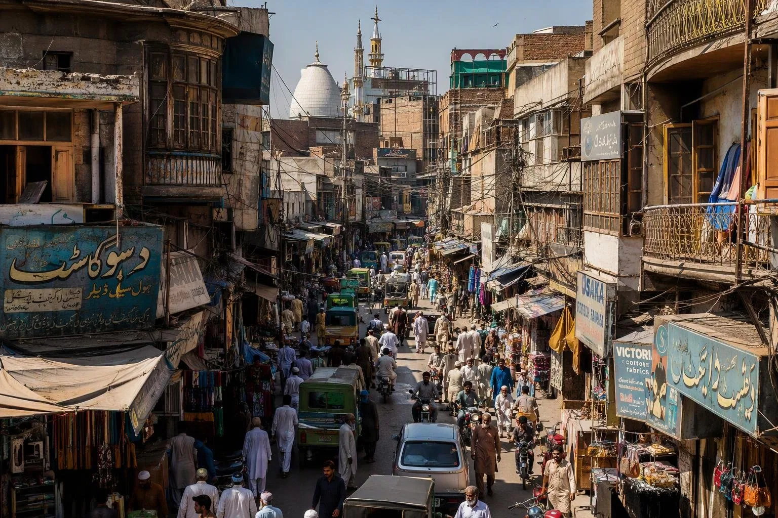
Begin at Raja Bazaar, the commercial core near Fawara Chowk. It is a working wholesale market, not a heritage precinct: lanes branch into specialist areas for textiles, jewellery, books, wood goods, spices, produce and household items.
- Walk, do not drive: the lanes are narrow and traffic-heavy. A rickshaw or taxi drop-off at the edge is more practical.
- Look up: older commercial buildings and havelis survive among modern shopfronts.
- Give it time: this is a place to understand Rawalpindi’s trade economy, browse specific goods or eat, rather than tick off monuments.
Liaquat Bagh on Murree Road is the city’s important political public space. It marks the site where Prime Minister Liaquat Ali Khan was assassinated in 1951 and where Benazir Bhutto was killed in 2007.
Cantonment and Saddar
South of the old city, the cantonment has wider roads and a distinct colonial-era layout. The Leh River separates this military district from the older city. Saddar is its principal shopping area; use it for a more open street layout and everyday retail.
Rawalpindi remains the headquarters of Pakistan’s army. Treat military premises, checkpoints and installations as restricted: do not assume entry or photography is permitted. For civilian colonial fabric, look for public-facing streets and the exterior of Christ Church near the General Headquarters area.
Parks and practical movement
Ayub National Park is the main green break within Rawalpindi, with gardens and a lake. It is a useful counterpoint to the old city’s compact streets.
Rawalpindi is a rail and road hub, linked historically by the Grand Trunk Road and by rail to Lahore, Peshawar and Karachi. Within the twin-city area, the Metrobus corridor follows Murree Road between Saddar and central Islamabad. Use it for the Islamabad connection; take a taxi or rickshaw for the final approach to Raja Bazaar and other old-city streets.
Timing and street etiquette
Cooler months make market walking easier; summer heat and monsoon rain can make a long old-city circuit hard work. Dress conservatively in market and religious settings, and ask before photographing people or shop interiors. Keep valuables secure in the bazaar’s crowded lanes.
From the magazine
Stories about Rawalpindi
Editorial stories linked directly to Rawalpindi.
No stories about Rawalpindi have been published yet.
Routes from our editors
Travel through Rawalpindi
Editorial routes connecting Rawalpindi with other countries, cities and hotspots.
No routes through Rawalpindi have been published yet.
More in Pakistan
Related hotspots
Other cities, nature areas and places within Pakistan.
Lahore
3 linked stories and routes
Sindh
2 linked stories and routes
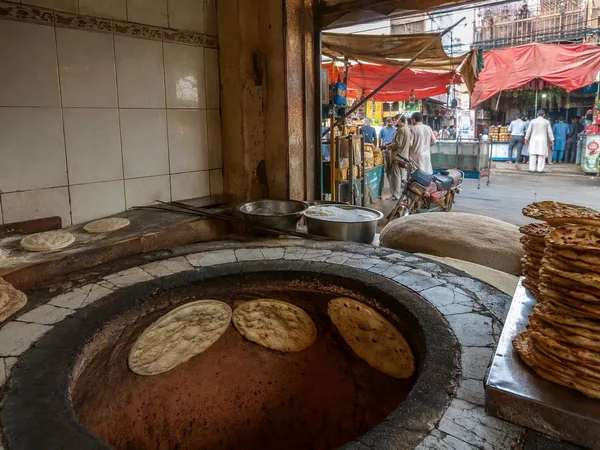
Mozang Bazaar
1 linked stories and routes
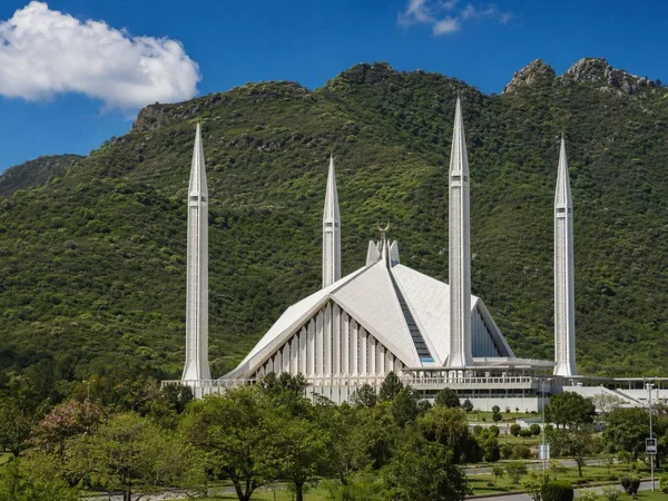
Islamabad
1 linked stories and routes
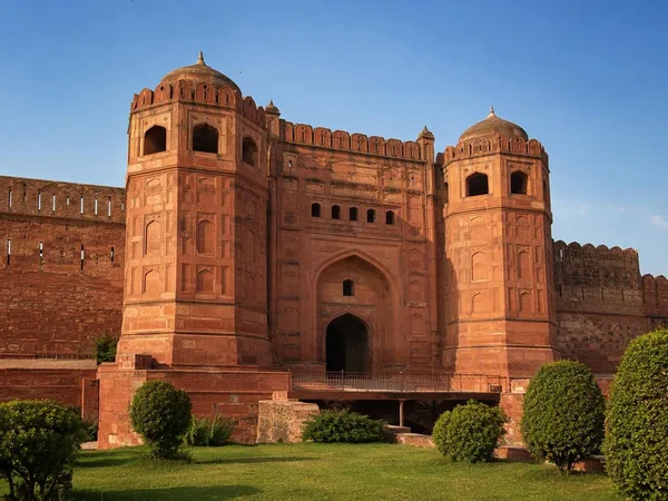
Punjab, Pakistan
1 linked stories and routes
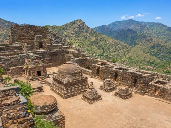
Khyber Pakhtunkhwa
1 linked stories and routes
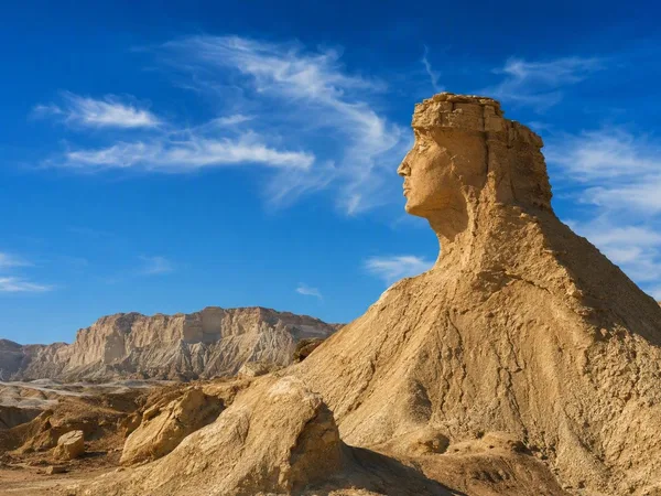
Balochistan
1 linked stories and routes
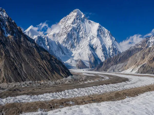
Gilgit-Baltistan
1 linked stories and routes
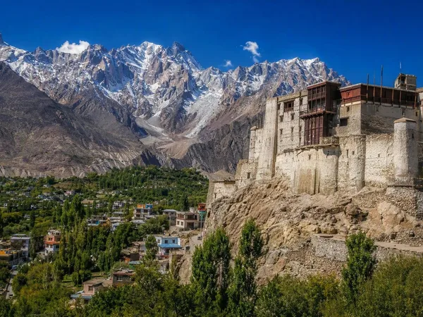
Hunza, Gilgit-Baltistan
1 linked stories and routes
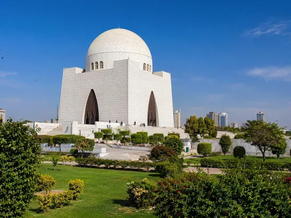
Karachi
1 linked stories and routes
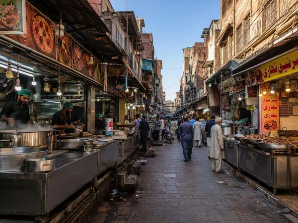
Gawalmandi
0 linked stories and routes
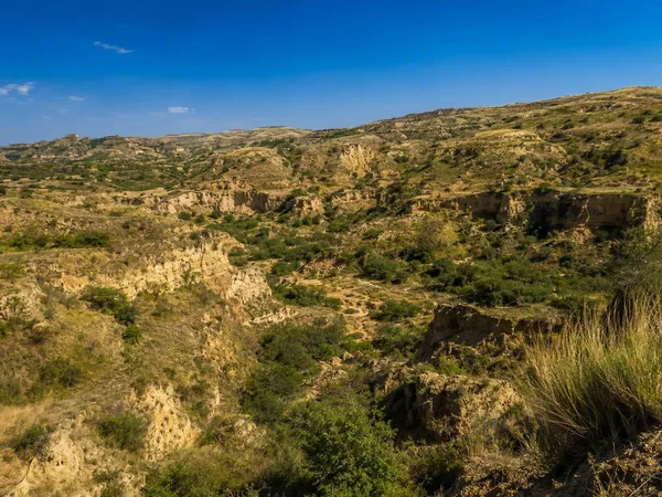
Potohar Plateau
0 linked stories and routes
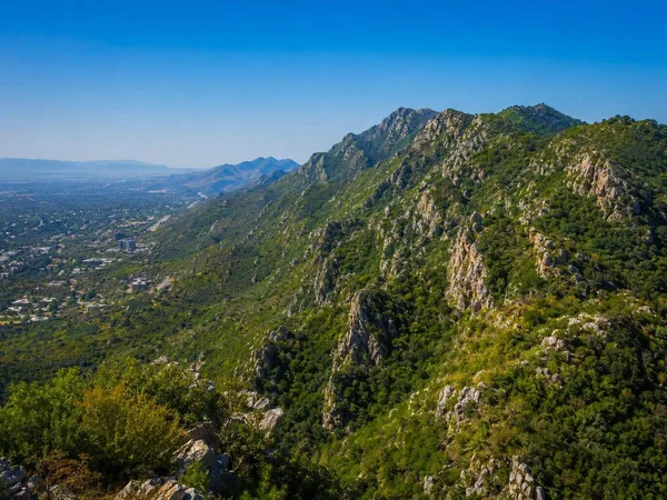
Margalla Hills
0 linked stories and routes
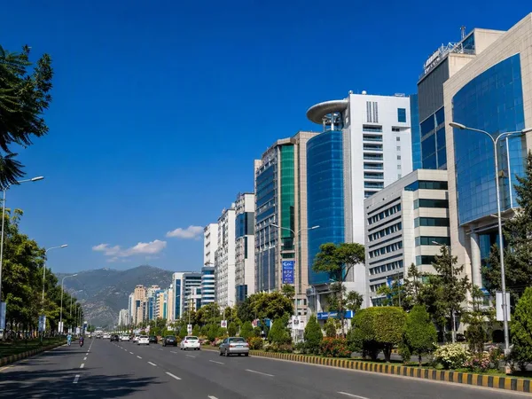
Blue Area, Islamabad
0 linked stories and routes
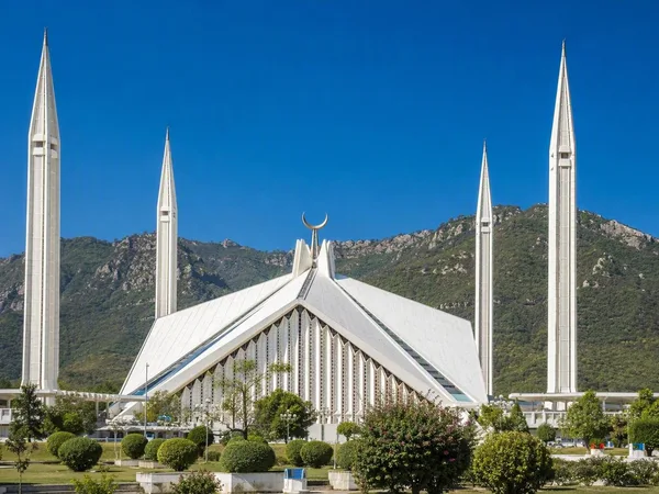
Faisal Mosque
0 linked stories and routes
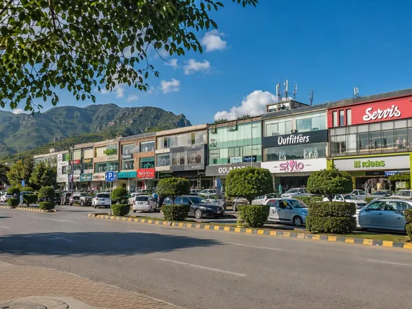
F-6, Islamabad
0 linked stories and routes