
Region · Pakistan
Gilgit-Baltistan
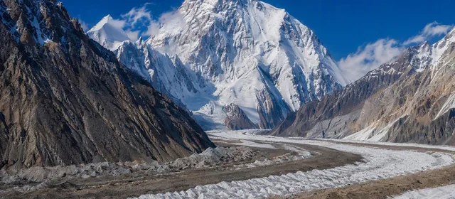
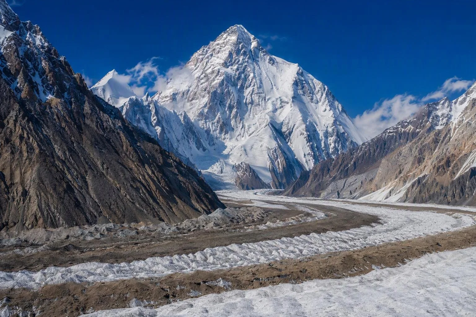
Gilgit-Baltistan is Pakistan-administered high mountain territory in the country’s far north, spanning the Karakoram, western Himalaya and Hindu Kush. It is the base region for K2, major glaciers, high passes and distinct valley cultures.
The region at a glance
Gilgit-Baltistan is a vast, sparsely populated mountain region administered by Pakistan. Its capital is Gilgit; Skardu is the principal hub for Baltistan and Karakoram expeditions. The terrain is not one continuous destination: deep river valleys, high deserts, glaciers and passes divide journeys into separate routes.
The region contains five of Pakistan’s peaks above 8,000 metres, including K2. Local languages include Shina, Balti, Burushaski and Wakhi; Urdu is the practical shared language.
Choose a corridor
Plan around one area rather than trying to cross the whole region quickly.
- Hunza and Gojal: Karakoram Highway travel, Karimabad’s historic forts, Attabad Lake, Passu and Khunjerab Pass.
- Gilgit and Ghizer: the regional capital, Naltar side valley, and the valleys west toward Gupis, Phander and Yasin.
- Skardu and Baltistan: Skardu, Shigar, Khaplu, lakes and the road approach to Askole—the trailhead settlement for Concordia and K2 trekking.
- Diamer and Astore: Nanga Parbat approaches, Fairy Meadows and the Astore Valley.
Deosai National Park lies between the Skardu and Astore sides of the region. Its high plateau is a summer-only addition, not a quick detour.
Getting in and moving around
Gilgit and Skardu are the two useful air gateways, with flights from Islamabad. Mountain weather can interrupt schedules, so do not build an inflexible connection around a flight. By road, the Karakoram Highway is the main north–south spine; it reaches Gilgit and continues through Hunza toward the Chinese border.
Public transport links major towns but is limited for side valleys and trailheads. Use a local driver or a registered operator for rough roads, remote valleys and trekking logistics. A 4x4 is needed for many unpaved approaches.
Season and altitude
May to October is the broad travel season, when most roads are open. Spring brings blossom to lower valleys; summer is the main trekking period; September and October bring clearer weather and autumn colour. Winter closes or complicates many high routes.
Altitude is the practical constraint. Build in an easy first day after flying or climbing from lowland Pakistan, ascend gradually and carry warm layers in every season. High passes and plateaux can be cold even when valley towns are warm.
Food and local conduct
The food is shaped by short growing seasons and winter storage: wheat, potatoes, apricots, walnuts and livestock are central ingredients. Look for chapshuro, a sealed meat-filled bread, alongside local breads, dumplings and dried fruit.
Dress modestly in villages and around religious places, and ask before photographing people. Carry cash beyond the principal towns; card acceptance and mobile coverage thin out quickly in the valleys.
From the magazine
Stories about Gilgit-Baltistan
Editorial stories linked directly to Gilgit-Baltistan.
No stories about Gilgit-Baltistan have been published yet.
Routes from our editors
Travel through Gilgit-Baltistan
Editorial routes connecting Gilgit-Baltistan with other countries, cities and hotspots.
No routes through Gilgit-Baltistan have been published yet.
More in Pakistan
Related hotspots
Other cities, nature areas and places within Pakistan.
Lahore
3 linked stories and routes
Sindh
2 linked stories and routes
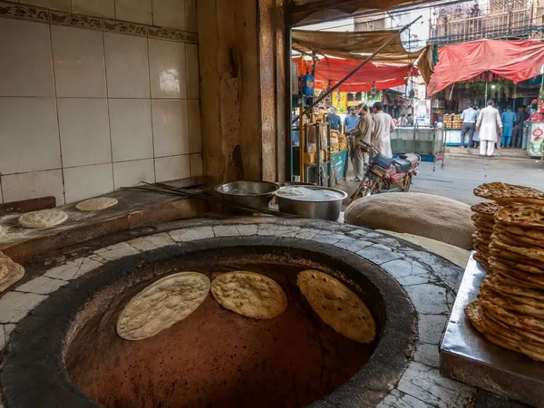
Mozang Bazaar
1 linked stories and routes
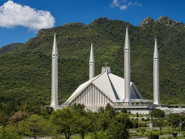
Islamabad
1 linked stories and routes
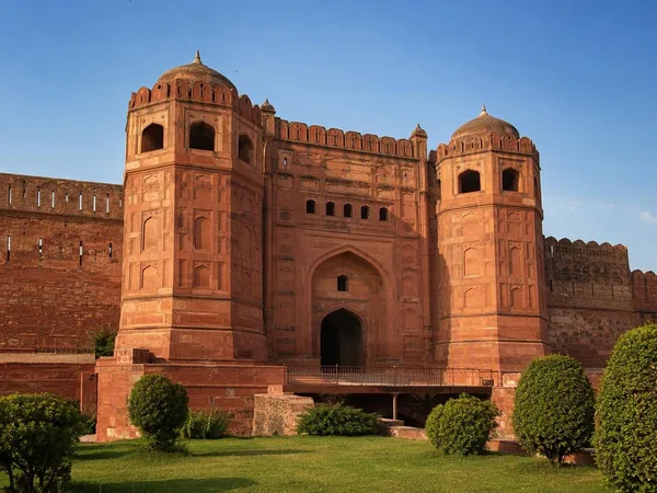
Punjab, Pakistan
1 linked stories and routes
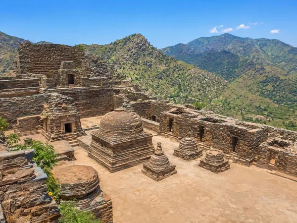
Khyber Pakhtunkhwa
1 linked stories and routes
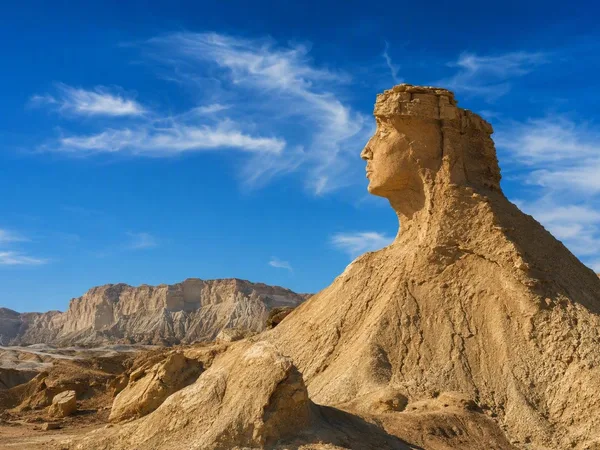
Balochistan
1 linked stories and routes
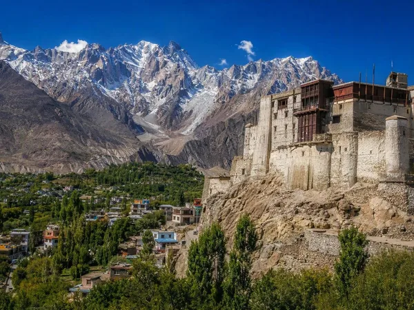
Hunza, Gilgit-Baltistan
1 linked stories and routes
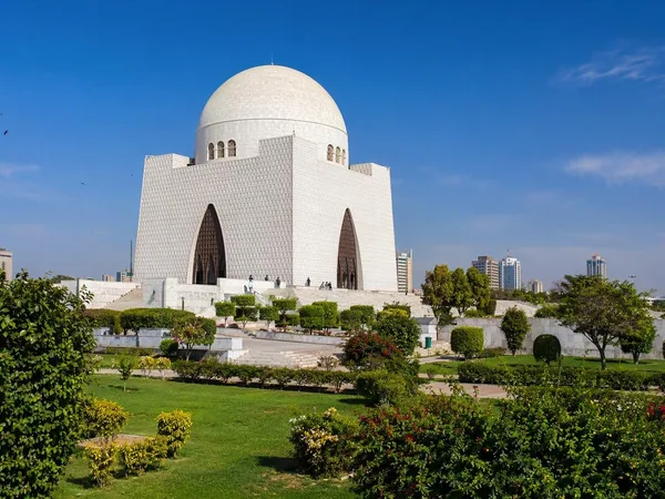
Karachi
1 linked stories and routes
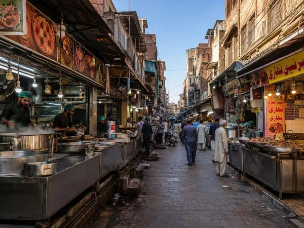
Gawalmandi
0 linked stories and routes
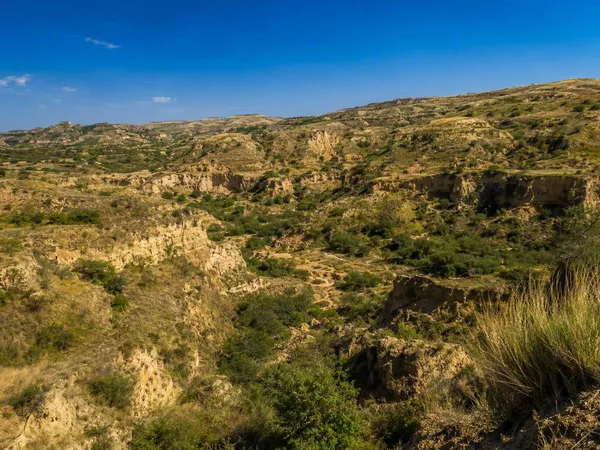
Potohar Plateau
0 linked stories and routes
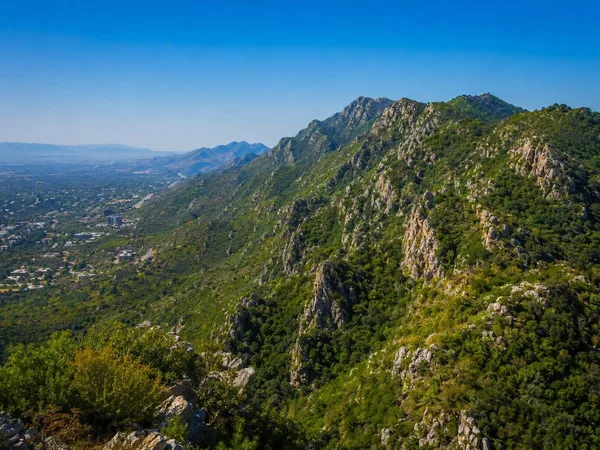
Margalla Hills
0 linked stories and routes
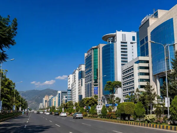
Blue Area, Islamabad
0 linked stories and routes
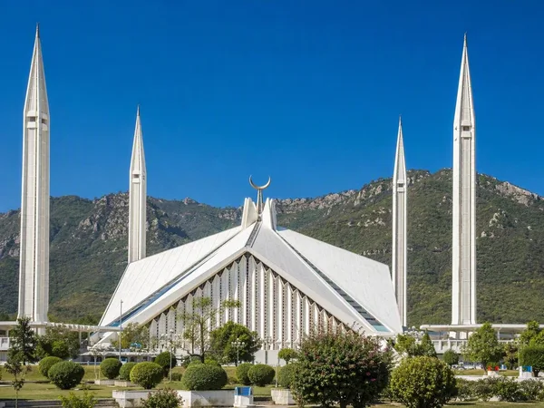
Faisal Mosque
0 linked stories and routes
Rawalpindi
0 linked stories and routes
F-6, Islamabad
0 linked stories and routes