
Nature area · Pakistan
Potohar Plateau
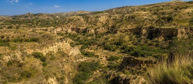
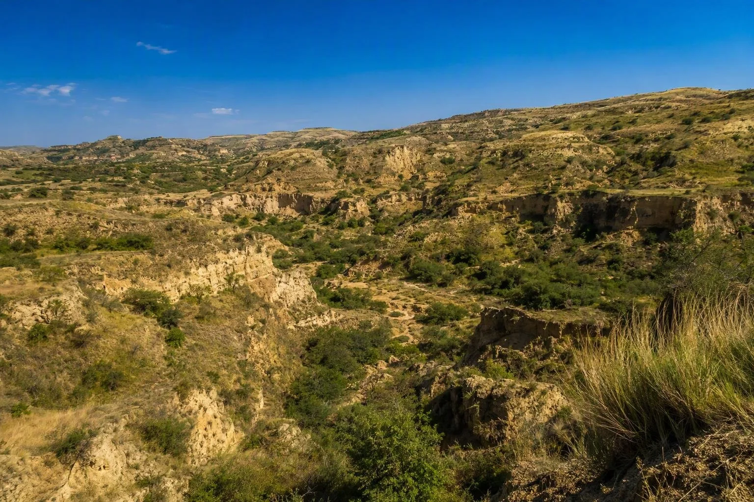
The Potohar Plateau is the dissected upland of northern Punjab, Pakistan, between the Indus and Jhelum rivers. Its rolling hills, seasonal watercourses and ravines form the wider landscape around Rawalpindi, Islamabad and the Salt Range.
Orientation
Potohar—also spelled Potwar or Pothohar—is a broad plateau rather than a single park or viewpoint. It lies in northern Punjab between the Indus to the west and the Jhelum to the east, with the Margalla and Hazara hills to the north and the Salt Range to the south.
Expect a landscape of low residual hills, open cultivated ground and deeply cut drainage lines. Most of the plateau sits roughly 300 to 600 metres above sea level. Rawalpindi and Islamabad occupy its northern side, making them practical urban bases rather than substitutes for the plateau itself.
Read the landscape
The plateau is shaped as much by erosion as by elevation. The Soan and Haro river valleys cross it, while smaller seasonal streams cut ravines into the soft ground. From a road or ridge, look for the repeating pattern of broad interfluves, gullies and narrow cultivated pockets.
This is a semi-arid, rain-dependent landscape. Fields are most legible after rain and in the cooler growing season; in the hotter, drier months, exposed slopes and dusty tracks dominate. Do not assume a blue line on a map means a year-round stream.
What the plateau holds
Potohar is best understood as the setting that connects several distinct places rather than as one ticketed attraction.
- Soan Valley: the most direct introduction to the plateau’s eroded terrain and river-cut landform.
- Northern edge: Islamabad and Rawalpindi show how a modern capital and major city sit against the plateau’s hills and drainage corridors.
- Southern edge: the Salt Range rises as the plateau’s southern terrace, bringing salt hills, lakes and archaeological sites into the same wider landscape.
- Historic routes and sites: Taxila and Rohtas Fort are separate destinations within the Potohar region; give each its own visit rather than treating either as a quick roadside stop.
Getting across it
The area is extensive. Plan by sector—Rawalpindi/Islamabad and Taxila in the north, Chakwal and the Salt Range farther south—rather than trying to “see the plateau” in one outing. Paved roads link major towns, but the most revealing country roads descend and climb through gullies, so travel times can be longer than map distances suggest.
Use a city base for accommodation and supplies. For rural stops, carry water and fuel before leaving town; services are not continuous between settlements.
Timing and ground conditions
October to March is generally the most comfortable period for looking at the landscape and visiting exposed heritage sites. Summer heat is hard on open ground, while monsoon rain can rapidly turn gullies and unpaved approaches muddy or hazardous.
Take care near ravines: their edges can be undercut and unstable after rain. Stay on established paths and roadside viewpoints, especially where loose sediment drops sharply into a gully.
From the magazine
Stories about Potohar Plateau
Editorial stories linked directly to Potohar Plateau.
No stories about Potohar Plateau have been published yet.
Routes from our editors
Travel through Potohar Plateau
Editorial routes connecting Potohar Plateau with other countries, cities and hotspots.
No routes through Potohar Plateau have been published yet.
More in Pakistan
Related hotspots
Other cities, nature areas and places within Pakistan.
Lahore
3 linked stories and routes
Sindh
2 linked stories and routes
Mozang Bazaar
1 linked stories and routes
Islamabad
1 linked stories and routes
Punjab, Pakistan
1 linked stories and routes
Khyber Pakhtunkhwa
1 linked stories and routes
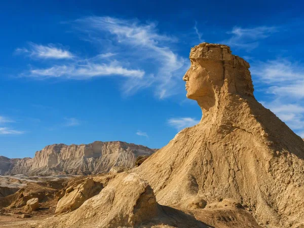
Balochistan
1 linked stories and routes
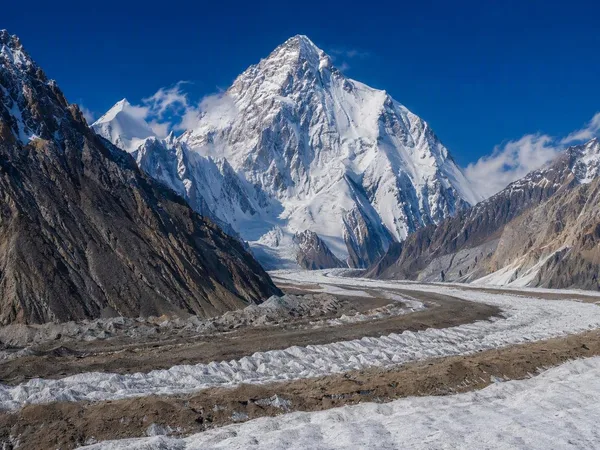
Gilgit-Baltistan
1 linked stories and routes
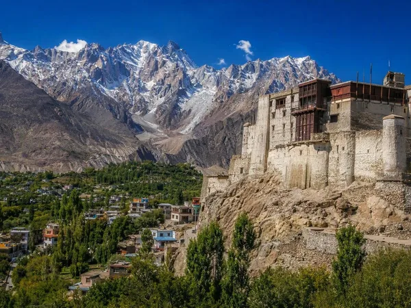
Hunza, Gilgit-Baltistan
1 linked stories and routes
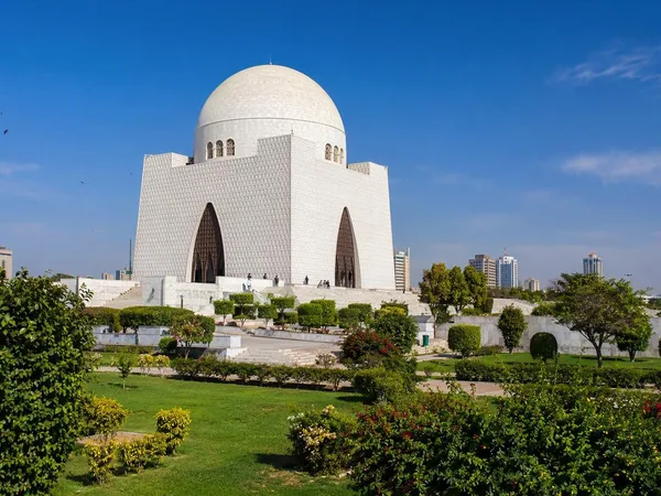
Karachi
1 linked stories and routes
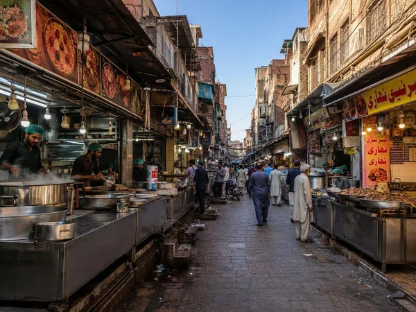
Gawalmandi
0 linked stories and routes
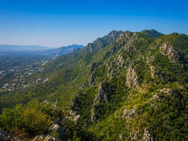
Margalla Hills
0 linked stories and routes
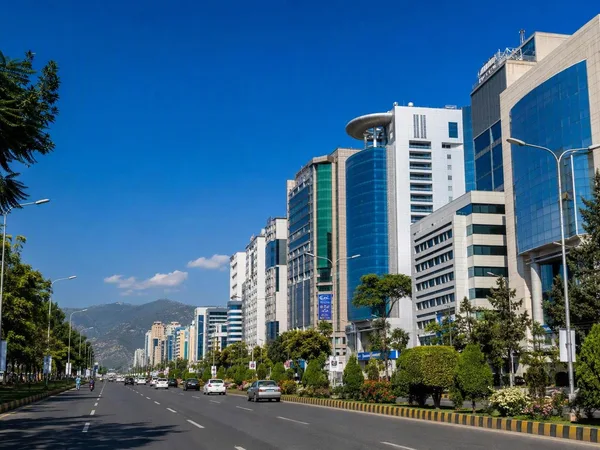
Blue Area, Islamabad
0 linked stories and routes
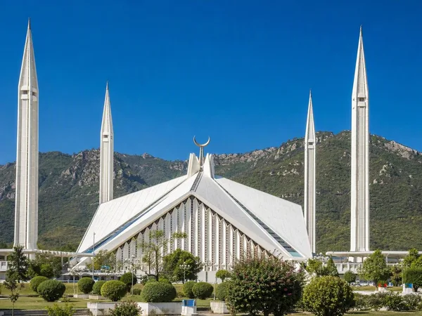
Faisal Mosque
0 linked stories and routes
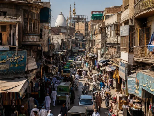
Rawalpindi
0 linked stories and routes
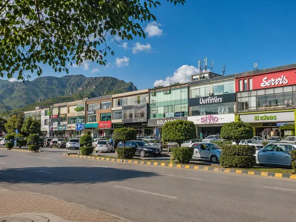
F-6, Islamabad
0 linked stories and routes