
Region · Pakistan
Hunza, Gilgit-Baltistan
Hunza is a high-mountain river valley in Gilgit-Baltistan, northern Pakistan, running along the Hunza River and the Karakoram Highway. It combines terraced settlements, historic forts and stark Karakoram landscapes.
Orientation
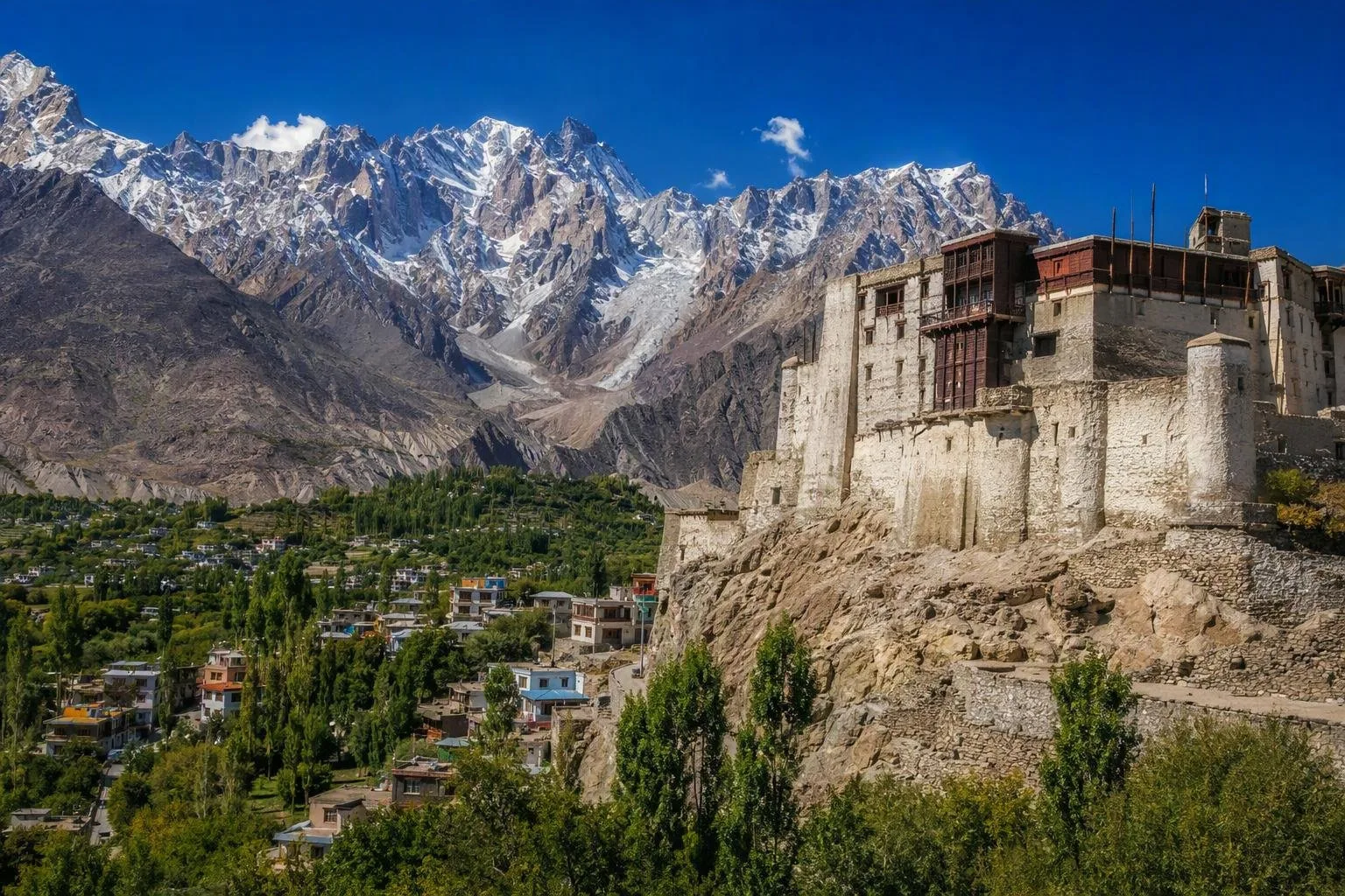
Hunza is a long, high-altitude valley in the Karakoram, north of Gilgit. The Hunza River, irrigated terraces and settlements form a narrow inhabited corridor below severe rock slopes and high peaks. The valley floor is around 2,438 metres above sea level.
Think of Hunza in three broad sections:
- Lower Hunza: the approach from Gilgit, including Aliabad and Ganish.
- Central Hunza: Karimabad, Baltit and Altit—the main heritage and accommodation base.
- Upper Hunza (Gojal): the higher stretch towards Attabad, Gulmit, Passu and the Chinese border.
Karimabad is the most practical base for a first stay; Aliabad is the main service town on the Karakoram Highway.
Forts and old settlements
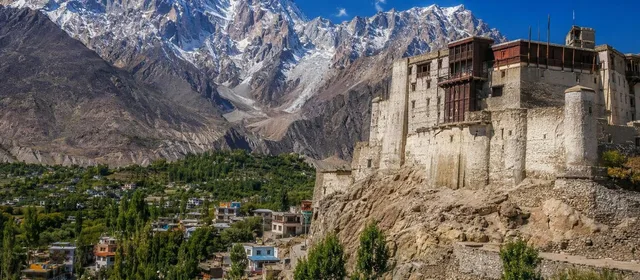
Start in Karimabad with Baltit Fort, the former seat of Hunza’s rulers. Its timber-and-stone structure stands on a spur below the Ultar Glacier and looks across the valley. The fort is on Pakistan’s UNESCO Tentative List.
Continue to Altit Fort and Altit village for another restored stronghold and a more intimate settlement setting. In Lower Hunza, Ganish Historical Settlement adds watchtowers, mosques and old lanes to the itinerary. These places explain the valley’s strategic role on routes between South and Central Asia far better than a roadside viewpoint.
Mountains, lake and road corridor
Hunza’s headline landscapes are spread out; do not treat them as a short walk from Karimabad. Drive north along the Karakoram Highway for Attabad Lake, created when a landslide blocked the Hunza River in 2010. Continue through Gojal for Gulmit and the jagged Passu Cones.
The road itself is the link between the valley’s places, but mountain travel is slow. Build in time for stops rather than attempting Karimabad, Attabad and Passu as a rushed day trip.
Food and local character
Apricots, apples, mulberries, cherries and grapes are central to Hunza’s orchards and dried-fruit stalls. Local languages include Burushaski, Shina and Wakhi; Urdu and English are also widely used.
Order chapshuro, a filled bread made from two thin layers of dough around cooked meat, onion, ginger, garlic and green chilli. Traditional versions use walnut oil. It is a substantial snack or light meal, especially useful on a driving day.
Getting there and timing
The usual approach is by road on the Karakoram Highway from Gilgit. Gilgit Airport is the nearest airport; Karimabad is roughly 100 km beyond Gilgit by road. May to October is the standard visiting window, when weather is generally more workable and more mountain routes are open.
Mountain-road warning: snowfall, rain, rockfall and landslides can close or delay the Karakoram Highway and upper roads. Carry warm layers, allow schedule slack, and confirm the current official road and weather status before setting out.
From the magazine
Stories about Hunza, Gilgit-Baltistan
Editorial stories linked directly to Hunza, Gilgit-Baltistan.
No stories about Hunza, Gilgit-Baltistan have been published yet.
Routes from our editors
Travel through Hunza, Gilgit-Baltistan
Editorial routes connecting Hunza, Gilgit-Baltistan with other countries, cities and hotspots.
No routes through Hunza, Gilgit-Baltistan have been published yet.
More in Pakistan
Related hotspots
Other cities, nature areas and places within Pakistan.
Lahore
3 linked stories and routes
Sindh
2 linked stories and routes
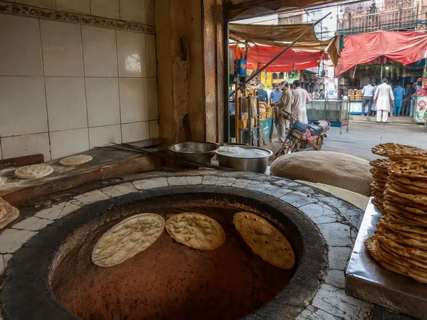
Mozang Bazaar
1 linked stories and routes
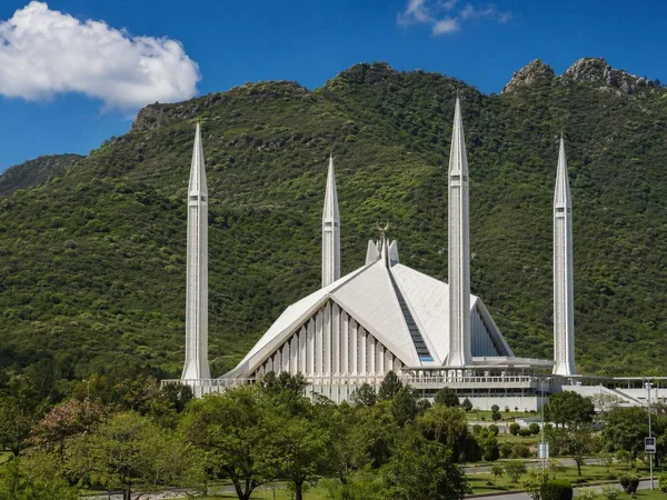
Islamabad
1 linked stories and routes
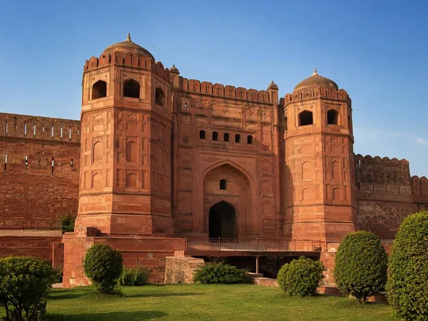
Punjab, Pakistan
1 linked stories and routes
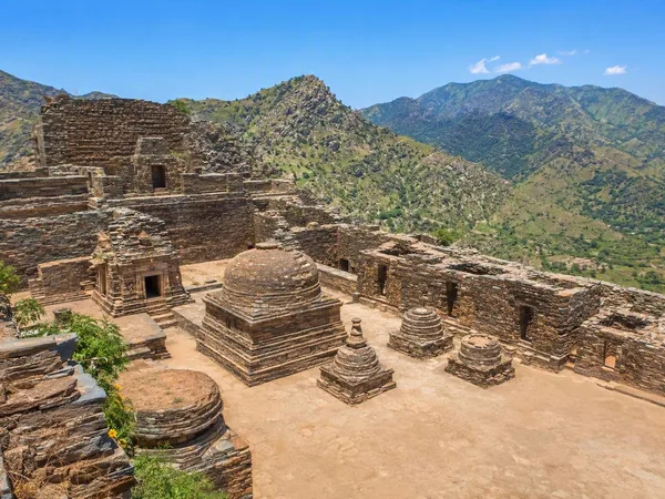
Khyber Pakhtunkhwa
1 linked stories and routes
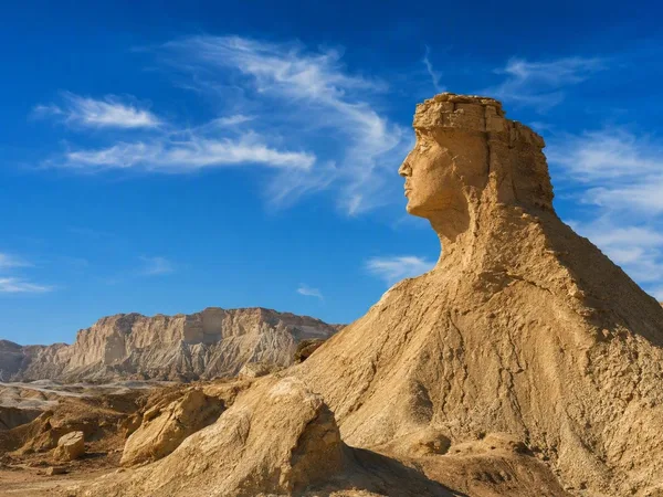
Balochistan
1 linked stories and routes
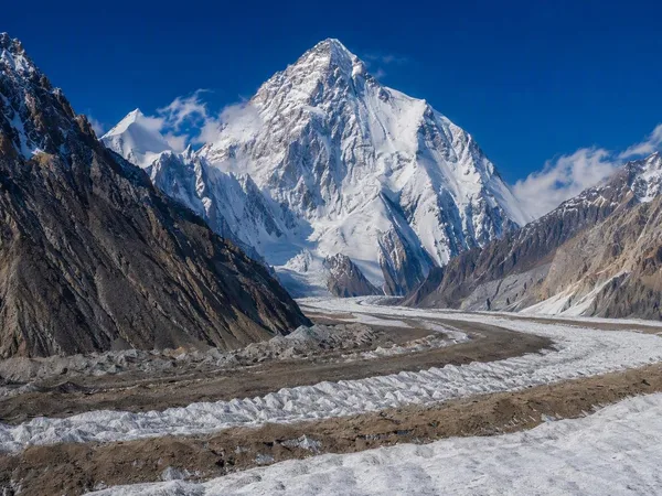
Gilgit-Baltistan
1 linked stories and routes
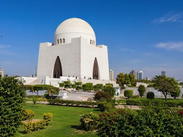
Karachi
1 linked stories and routes
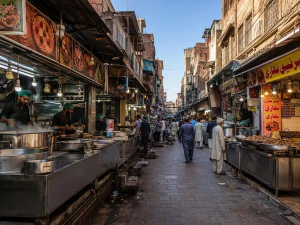
Gawalmandi
0 linked stories and routes
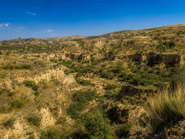
Potohar Plateau
0 linked stories and routes
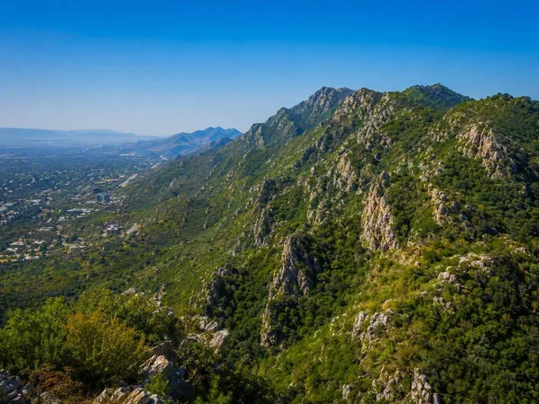
Margalla Hills
0 linked stories and routes
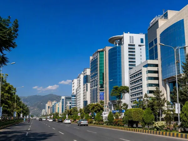
Blue Area, Islamabad
0 linked stories and routes
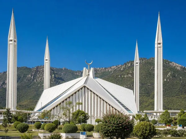
Faisal Mosque
0 linked stories and routes
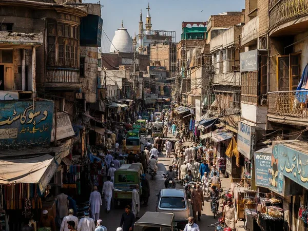
Rawalpindi
0 linked stories and routes
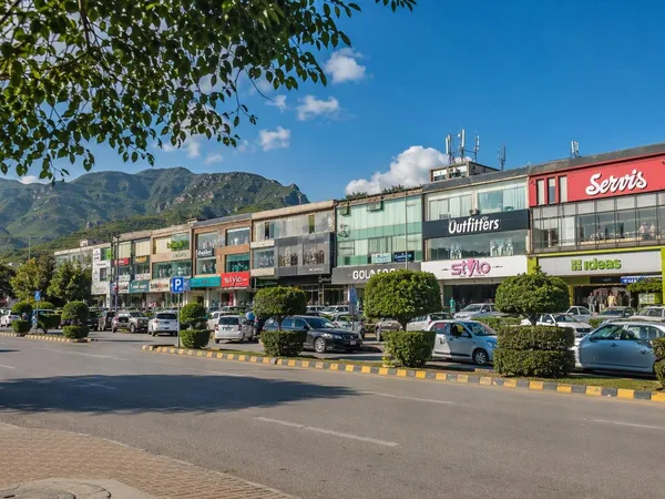
F-6, Islamabad
0 linked stories and routes