
Province · Pakistan
Khyber Pakhtunkhwa
Khyber Pakhtunkhwa is Pakistan’s northwestern province, stretching from Peshawar’s plains and historic frontier routes to the high valleys of Swat, Kaghan and Chitral. It combines Gandhara archaeology, Pashtun urban culture and sharply varied mountain landscapes.
Orientation
Khyber Pakhtunkhwa, usually shortened to KP, is Pakistan’s northernmost province. Peshawar is the capital and the practical urban gateway; beyond it, the province spreads across river plains, foothills and high mountain valleys. The Kabul River cuts west to east through the province, while the Indus forms part of its eastern edge.
This is not a destination to treat as one compact circuit. Peshawar and Mardan suit heritage and city travel; Swat, Kaghan and Chitral require separate mountain itineraries and generous travel time.
Heritage and cities
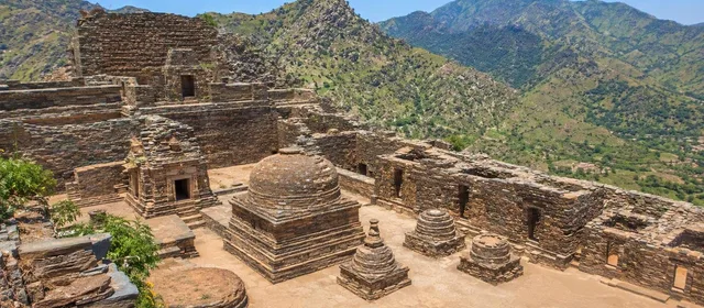
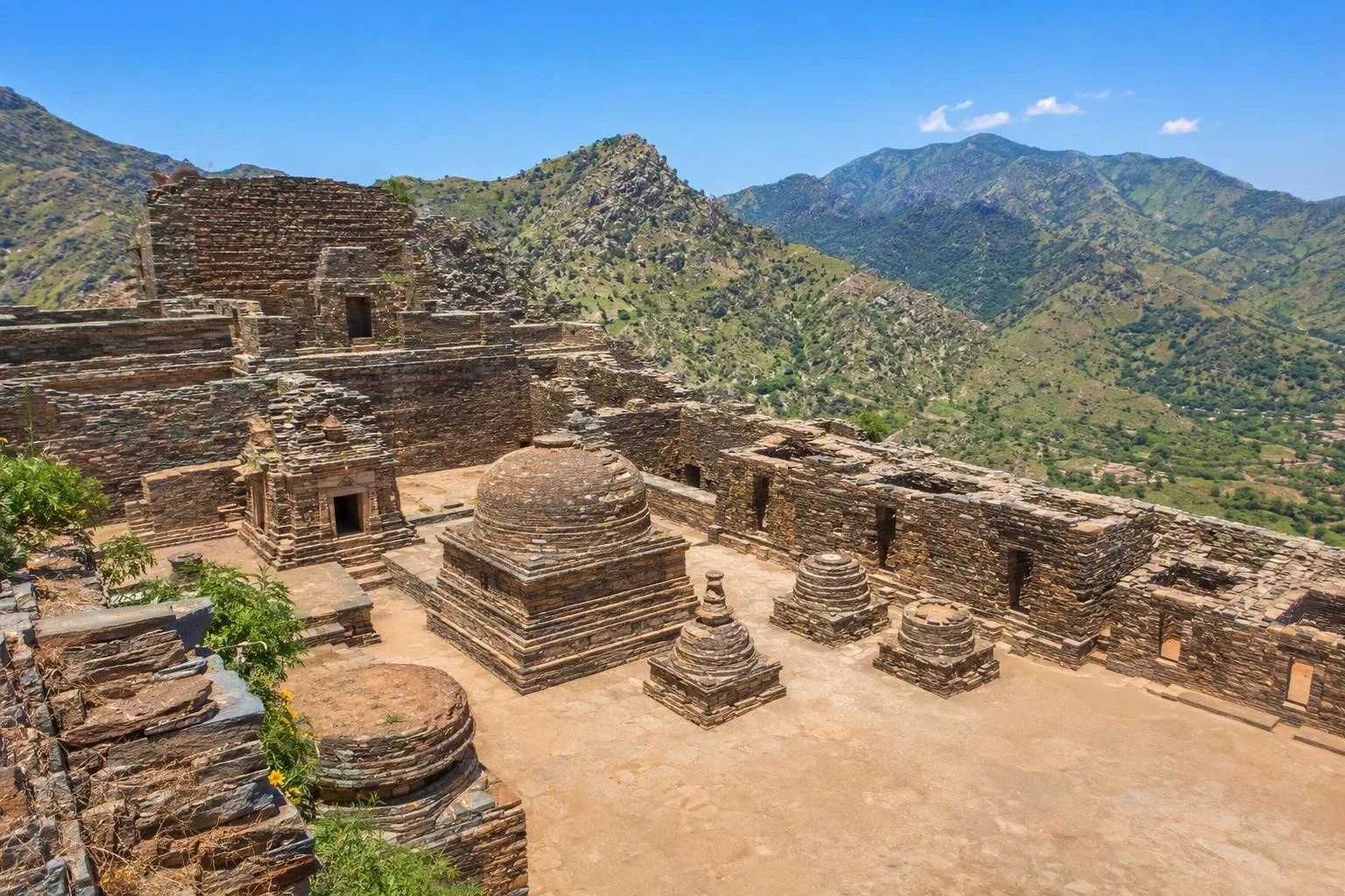
Start in Peshawar for the province’s historic urban side: the old city, bazaars, museums and the route towards the Khyber Pass. Around Mardan, Takht-i-Bahi is the essential archaeological stop. This Buddhist monastic complex was founded in the early 1st century and remained in use until the 7th century. Its stone stupa courts, monastic quadrangle, meditation cells and covered passages occupy a hilltop setting.
The province formed a major part of ancient Gandhara. That history is visible in archaeological sites rather than in a single museum display, so give Takht-i-Bahi time rather than treating it as a roadside photo stop.
Mountains, valleys and seasons
The north is defined by cold, snowy winters and milder summers. Swat, Kalam, Kaghan and Naran are the better-known valley landscapes for forests, rivers and high-country travel. Chitral belongs to the Hindu Kush and provides access to Chitral’s mountain valleys and the Kalash valleys.
Plan by elevation:
- Spring to autumn: the most workable period for valley travel; high routes open progressively as snow retreats.
- Winter: suitable for lower cities and selected snow destinations, but high valleys and passes can be restricted.
- Summer: Peshawar and the southern lowlands are much hotter than the mountain districts.
Food and local character
Pashto is widely heard, alongside Hindko, Saraiki, Khowar and other regional languages; Urdu and English are useful in cities. Dress conservatively, particularly in rural districts and religious settings, and ask before photographing people.
Eat chapli kebab in Peshawar: a broad, flattened minced-meat patty, commonly served with naan or rice. Also look for pulao, grilled meat, bread and tea. Food is strongly regional; do not expect Chitral’s mountain cooking or Swat trout to be interchangeable with Peshawar street food.
Getting around
Peshawar is connected by road and rail to major Pakistani cities and has the province’s main airport. From Islamabad, road access feeds into Hazara, Swat and Peshawar, but mountain distances are deceptive: roads follow rivers, climbs and valley contours.
Use a local driver or jeep where mountain roads demand it. Build buffer time into routes to Chitral and high valleys; weather and road conditions shape access more than map distance.
From the magazine
Stories about Khyber Pakhtunkhwa
Editorial stories linked directly to Khyber Pakhtunkhwa.
No stories about Khyber Pakhtunkhwa have been published yet.
Routes from our editors
Travel through Khyber Pakhtunkhwa
Editorial routes connecting Khyber Pakhtunkhwa with other countries, cities and hotspots.
No routes through Khyber Pakhtunkhwa have been published yet.
More in Pakistan
Related hotspots
Other cities, nature areas and places within Pakistan.
Lahore
3 linked stories and routes
Sindh
2 linked stories and routes
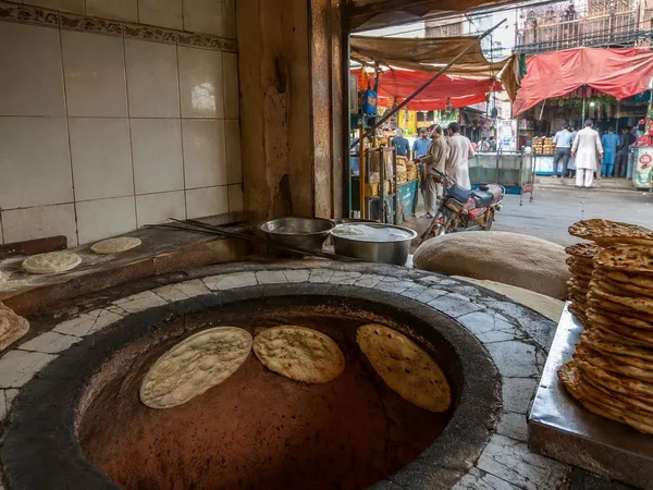
Mozang Bazaar
1 linked stories and routes
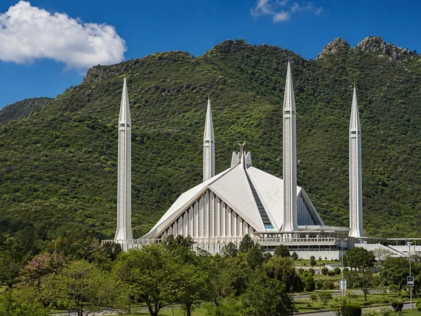
Islamabad
1 linked stories and routes
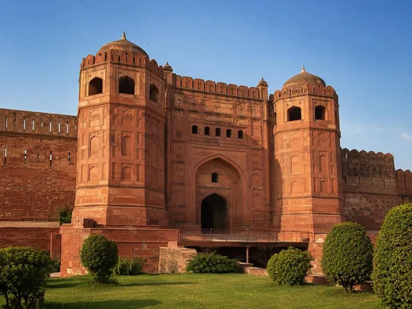
Punjab, Pakistan
1 linked stories and routes
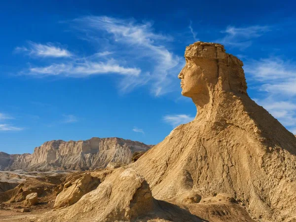
Balochistan
1 linked stories and routes
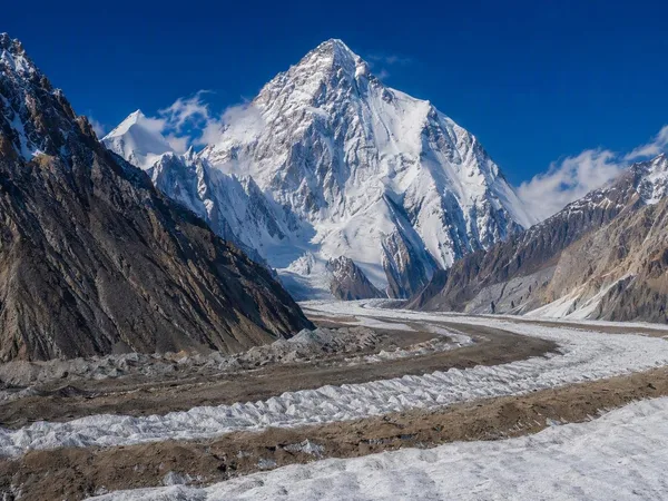
Gilgit-Baltistan
1 linked stories and routes
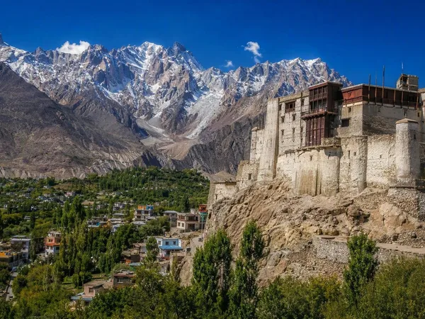
Hunza, Gilgit-Baltistan
1 linked stories and routes
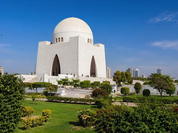
Karachi
1 linked stories and routes
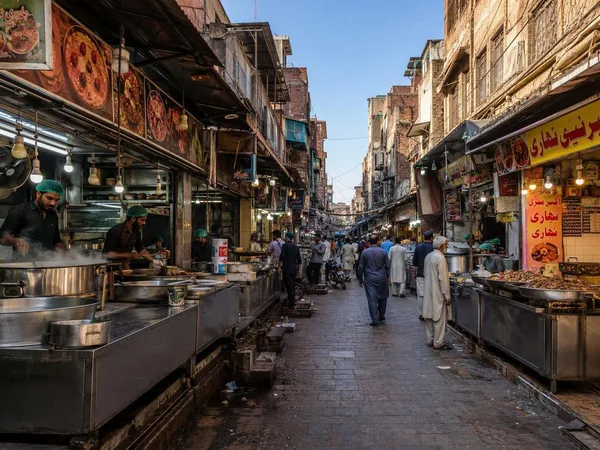
Gawalmandi
0 linked stories and routes
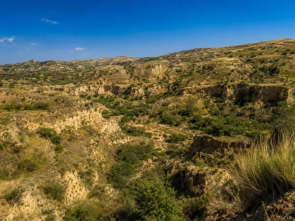
Potohar Plateau
0 linked stories and routes
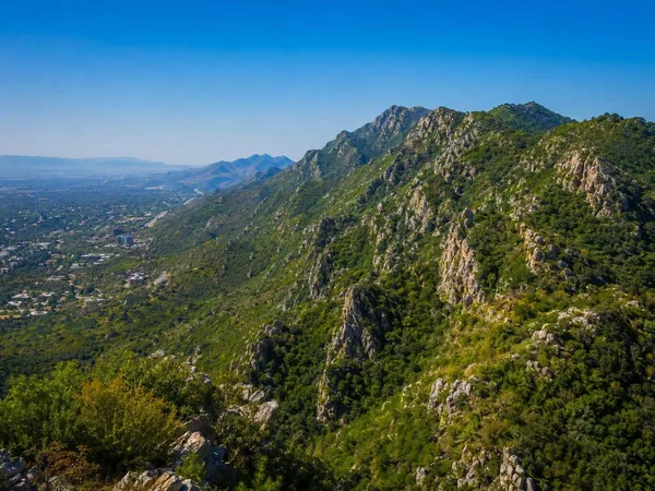
Margalla Hills
0 linked stories and routes
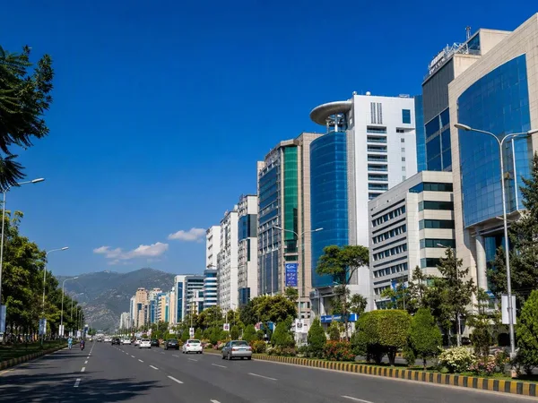
Blue Area, Islamabad
0 linked stories and routes
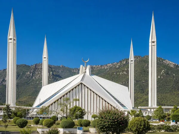
Faisal Mosque
0 linked stories and routes
Rawalpindi
0 linked stories and routes
F-6, Islamabad
0 linked stories and routes