
Nature area · Brazil
Capibaribe River
The Capibaribe is Recife’s defining urban river, running through the historic centre before meeting the Atlantic. At Cais de Santa Rita, it reveals the city as a tight arrangement of quays, islands and bridge crossings.
Orientation
The Capibaribe runs across Pernambuco for roughly 280 km and reaches its mouth in Recife. In the centre, it is not a scenic detour from the city: it is the waterway that separates and connects the central districts.
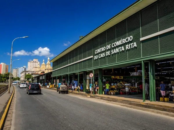
For the clearest close-up from São José, walk from Praça Dom Vital past Mercado de São José along Rua da Praia to Cais de Santa Rita. The route is short. Dense market streets give way directly to the quay and the river.
Read the waterline
This is estuarine water linked to the Atlantic, so the level at the central quays changes with the tide. Expect a hard quay wall rather than a riverbank; the visible strip of water can look markedly different across the day.
The river meets the Beberibe near the centre before the combined waterways reach the ocean and port area. That geography explains Recife’s channels, low-lying islands and repeated bridge crossings.
Bridges and viewpoints
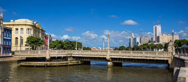
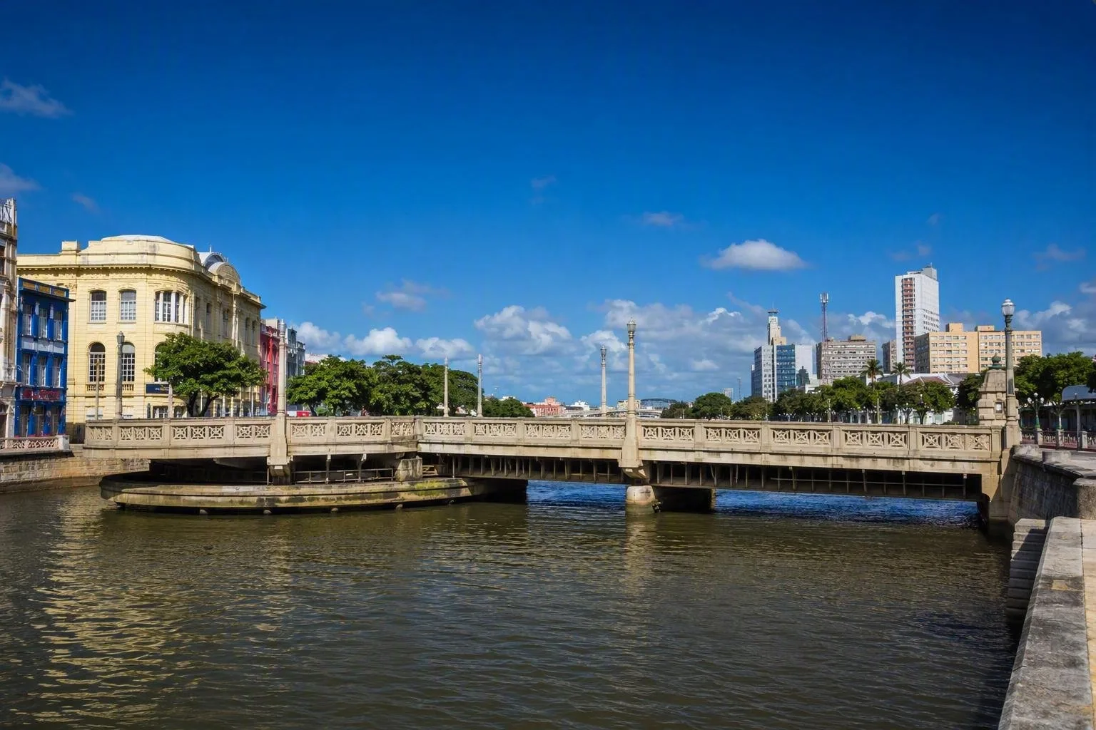
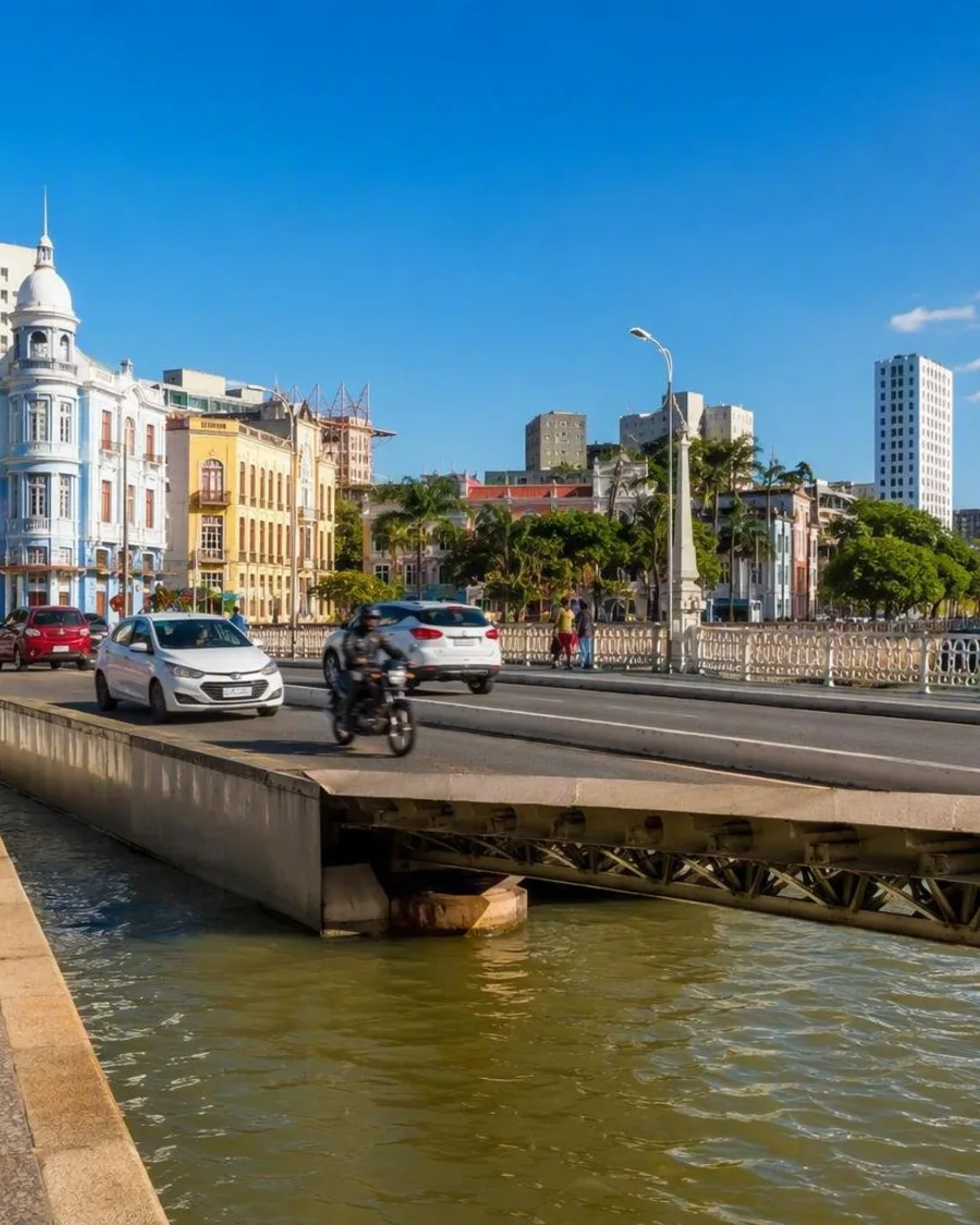
At the end of Rua da Praia, look towards Ponte Giratória, officially Ponte 12 de Setembro. It connects São José with Bairro do Recife and has pedestrian pavements on both sides. The present fixed concrete bridge retains the popular name of an earlier swing bridge that once opened for navigation.
From this stretch of quay, the useful visual sequence is simple:
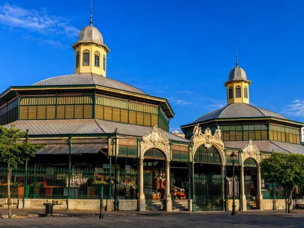
- Mercado de São José behind the street wall;
- the Capibaribe below the quay;
- Ponte Giratória towards Bairro do Recife;
- harbour-bound water beyond the bridge.
For broader central views, boat trips on the Capibaribe pass beneath bridges and through the waterways around Boa Vista, Santo Antônio and Bairro do Recife. On land, pair the Cais de Santa Rita approach with the bridge crossings and waterfronts of Recife Antigo.
Practical access
Cais de Santa Rita is part of the central street network and lies beside the terminal area in São José. Approach on foot from Mercado de São José or continue from the historic centre across the bridge.
Take care at the edge: the quays are built walls above tidal water, not access points for entering the river. Use designated piers and crossings, and keep clear of traffic around the bridge and terminal.
The wider river
The Capibaribe’s upper and middle reaches are intermittent; it becomes perennial farther downstream from Limoeiro. Recife is its final urban landscape: a working estuary where river flow, tides, bridges and port infrastructure meet.
From the magazine
Stories about Capibaribe River
Editorial stories linked directly to Capibaribe River.
Routes from our editors
Travel through Capibaribe River
Editorial routes connecting Capibaribe River with other countries, cities and hotspots.
No routes through Capibaribe River have been published yet.
More in Brazil
Related hotspots
Other cities, nature areas and places within Brazil.
Recife
1 linked stories and routes
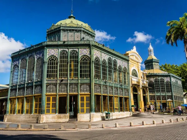
São José
1 linked stories and routes
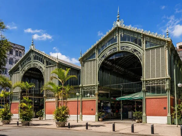
Mercado de São José
1 linked stories and routes
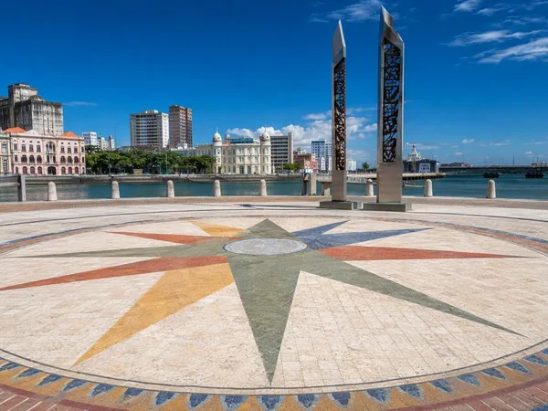
Bairro do Recife (Recife Antigo)
1 linked stories and routes
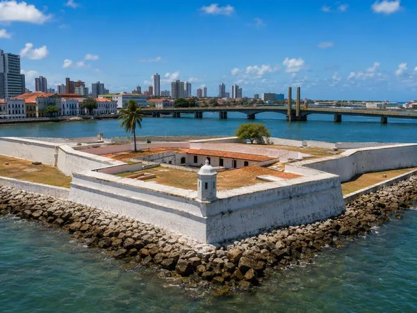
Ilha de Antônio Vaz, Recife
1 linked stories and routes
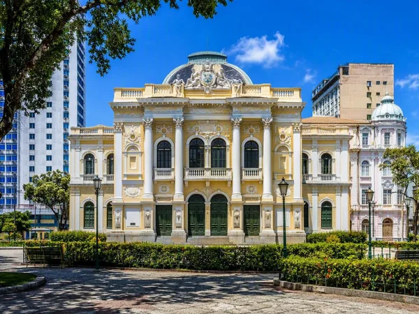
Santo Antônio, Recife
1 linked stories and routes
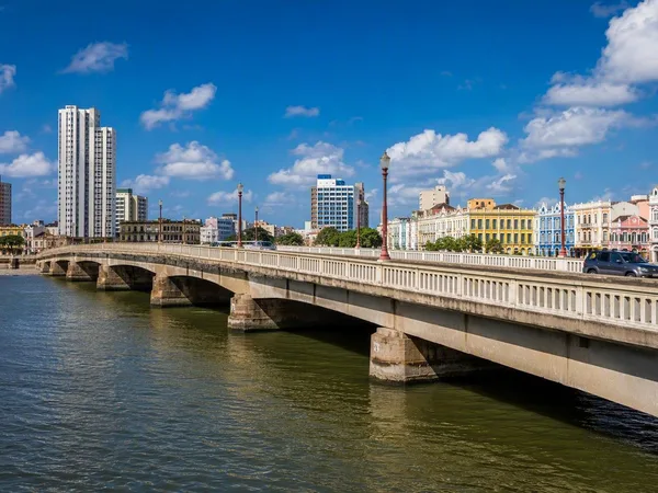
Ponte Giratória
1 linked stories and routes
Cais da Alfândega
1 linked stories and routes
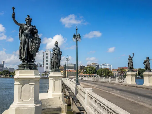
Ponte Maurício de Nassau
1 linked stories and routes
Boa Vista, Recife
1 linked stories and routes
Cais de Santa Rita
1 linked stories and routes
Pantanal, Brazil
1 linked stories and routes
Encontro das Águas State Park
1 linked stories and routes
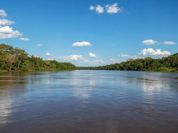
Porto Jofre
1 linked stories and routes
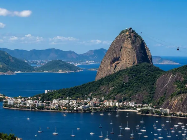
Rio de Janeiro
1 linked stories and routes
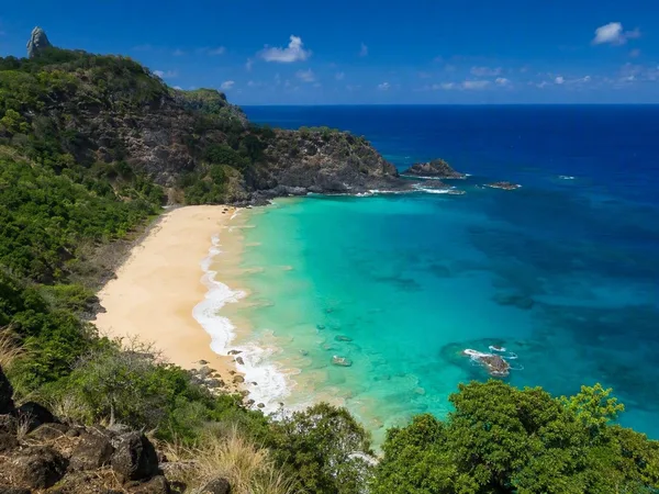
Praia do Sancho
1 linked stories and routes
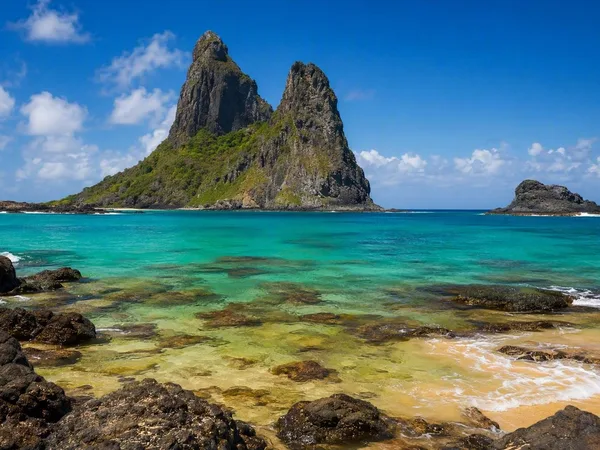
Fernando de Noronha
0 linked stories and routes
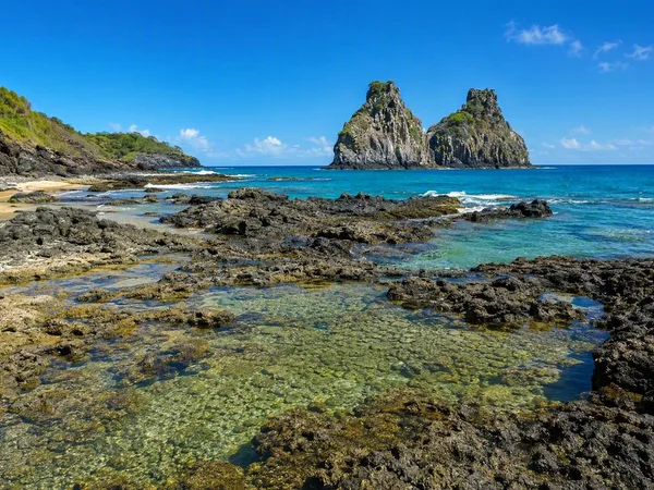
Baía dos Porcos
0 linked stories and routes
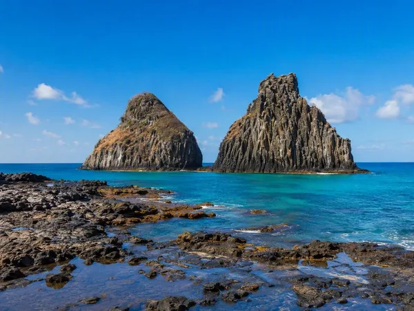
Morro Dois Irmãos
0 linked stories and routes
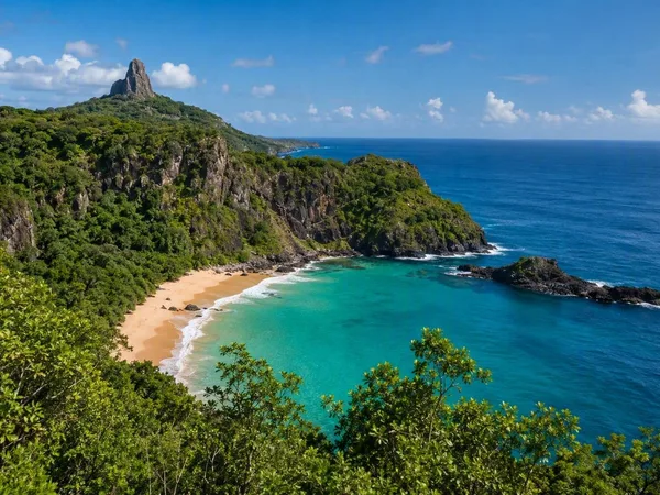
Fernando de Noronha Marine National Park
0 linked stories and routes