
Nature area · Peru
Quebrada Demanda
Quebrada Demanda is a high-Andean valley and stream in Áncash’s Cordillera Blanca, within Huascarán National Park. It forms the walking corridor from Cebollapampa towards Laguna 69.
The valley at a glance
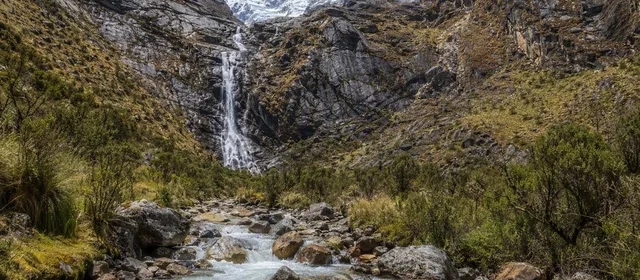
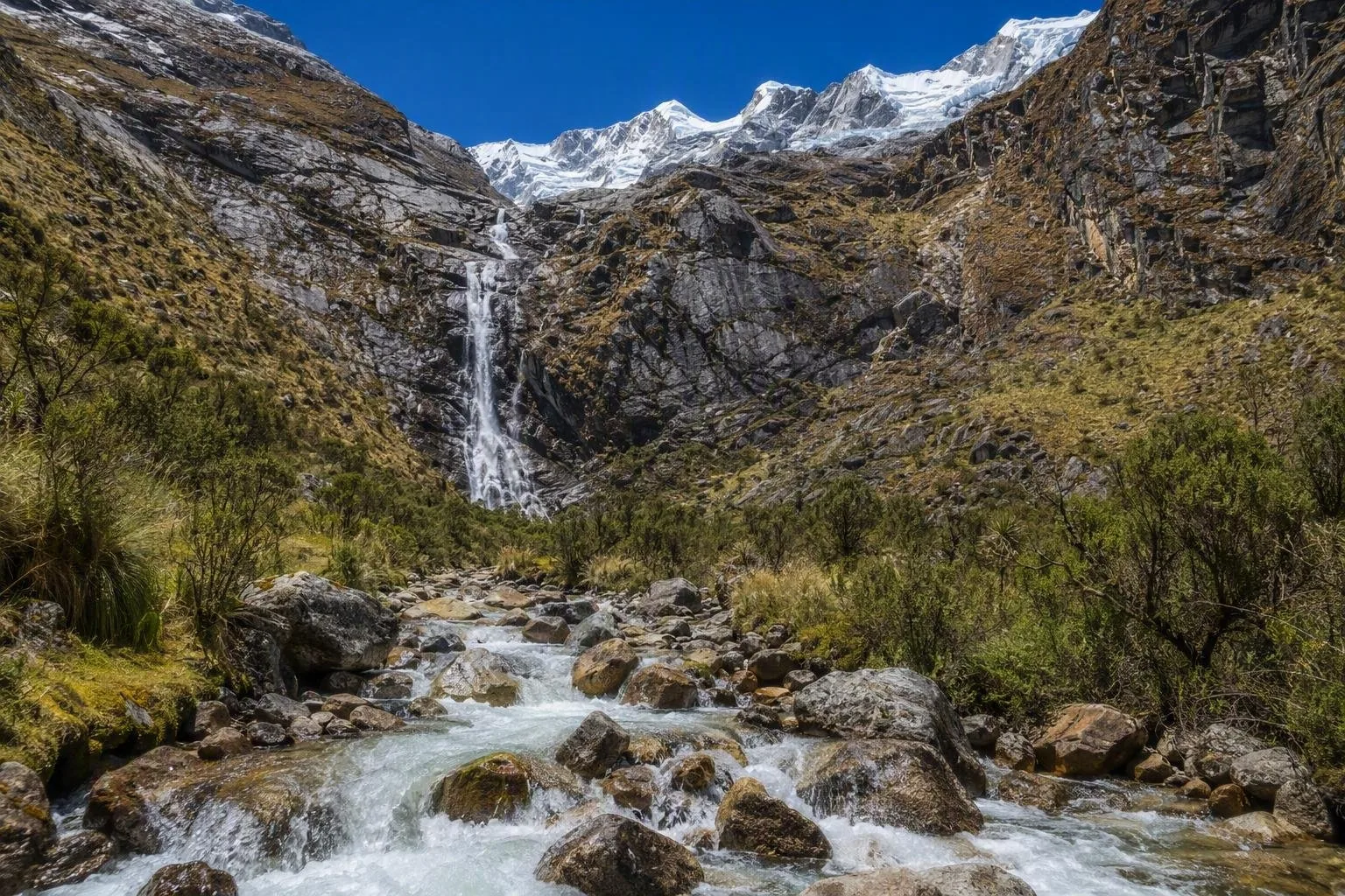
Quebrada Demanda is a glacial valley in the Yungay area of Áncash, at roughly 3,900 metres. Its stream drains the upper valley below Laguna 69, while steep slopes, waterfalls and high peaks frame the route. This is not a separate roadside attraction: it is the landscape you cross on the hike from Cebollapampa.
The valley sits in Huascarán National Park. The route climbs from open grassland and queñual woodland into wetter, rockier terrain beneath the higher Cordillera Blanca.
Walking through Quebrada Demanda
The established trail starts at Cebollapampa, a camping area at about 3,915 metres. It initially follows the valley beside the meltwater stream on relatively gentle ground.
- Early section: broad pasture, low vegetation, queñual trees and views up the valley.
- Middle section: the path gains height in switchbacks; waterfalls become more prominent and small lakes appear.
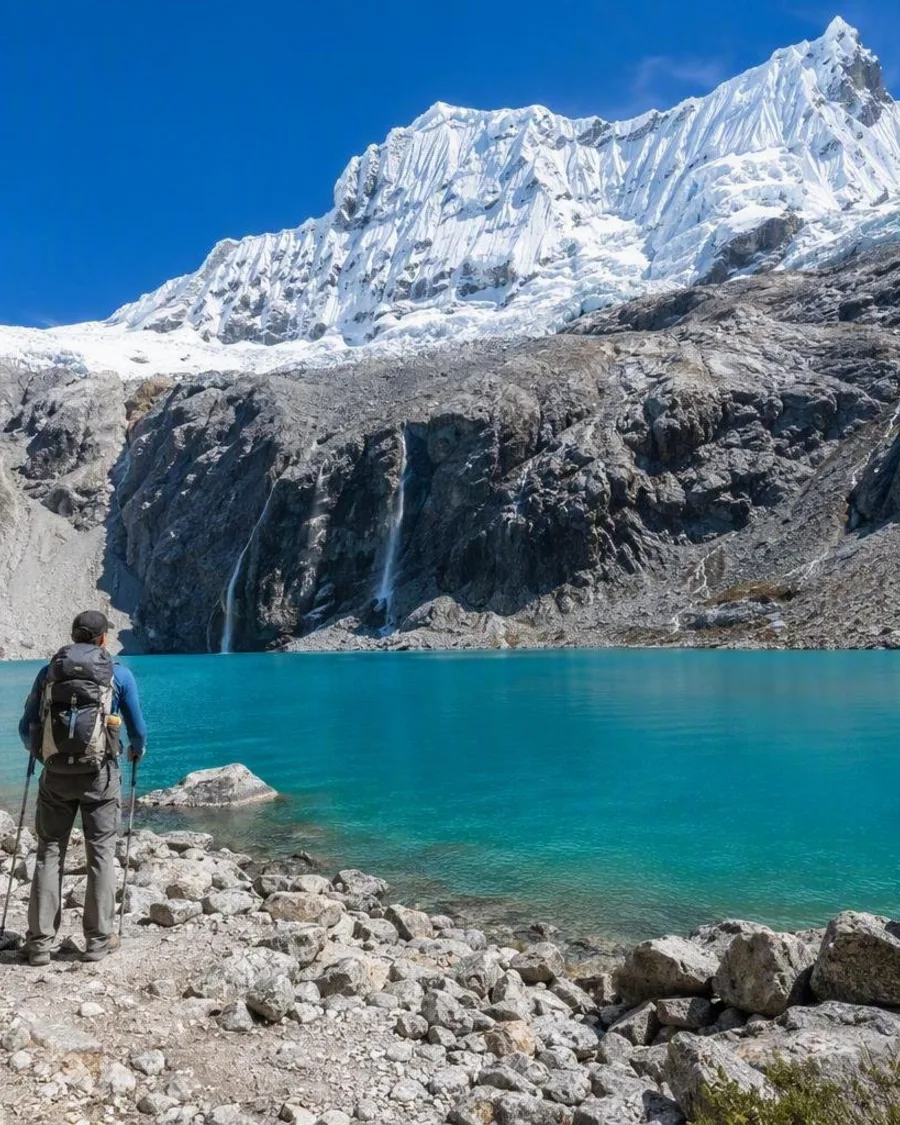
- Upper section: the final climb is steeper and rockier, leading to Laguna 69 at 4,604 metres.
Allow a full day for the return walk from Cebollapampa. The commonly used route is about 14 km return, with roughly 700–740 metres of ascent. It is a hiking route, not a technical climb, but the elevation makes the effort substantial.
Landscape and wildlife
The valley’s defining features are moving water and changing scale: a narrow glacial stream on the valley floor, waterfalls falling from higher slopes, and snowy summits appearing more fully as you climb. Queñual trees grow along parts of the route, alongside high-altitude vegetation.
Keep to the formed trail. The watercourses, wet ground and lake margins are part of a protected mountain environment; avoid shortcuts across vegetation and take all rubbish back out.
Access and mountain conditions
Approach Cebollapampa via the Llanganuco Valley from Yungay or Huaraz. The trailhead is remote, so arrange transport that also covers your return from Cebollapampa.
Altitude is the key constraint. The walk begins close to 3,900 metres and climbs above 4,600 metres. Spend time acclimatising in Huaraz before attempting it, set a slow steady pace, and turn back if symptoms worsen rather than pushing toward the lake.
Weather changes quickly in this terrain. Carry warm layers, waterproof protection, sun protection, water and food. Dry-season months generally bring steadier conditions; rain can make the trail wetter and obscure the mountain views.
From the magazine
Stories about Quebrada Demanda
Editorial stories linked directly to Quebrada Demanda.
Routes from our editors
Travel through Quebrada Demanda
Editorial routes connecting Quebrada Demanda with other countries, cities and hotspots.
No routes through Quebrada Demanda have been published yet.
More in Peru
Related hotspots
Other cities, nature areas and places within Peru.
Callao
2 linked stories and routes
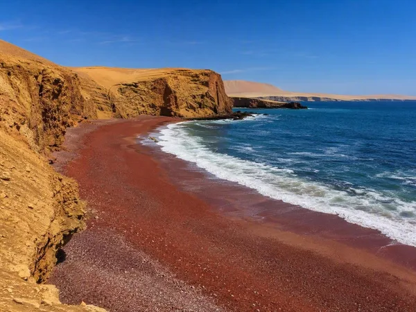
Playa Roja, Paracas
1 linked stories and routes
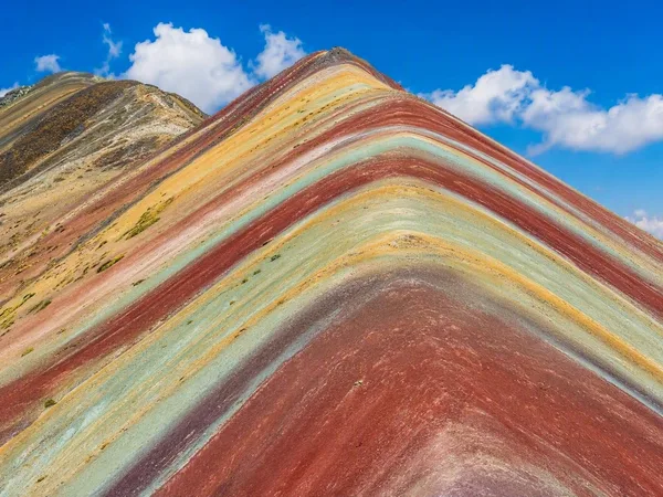
Vinicunca
1 linked stories and routes
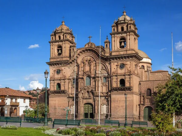
Plaza de Armas, Cusco
1 linked stories and routes
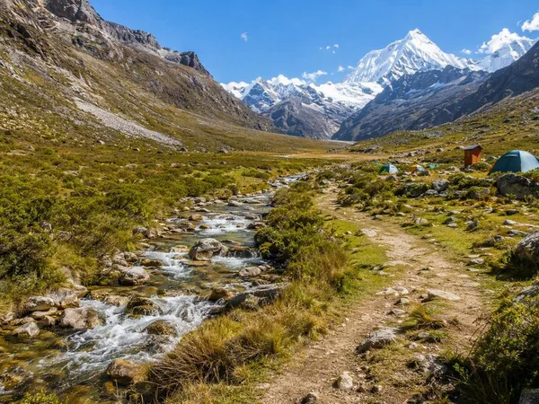
Cebollapampa
1 linked stories and routes
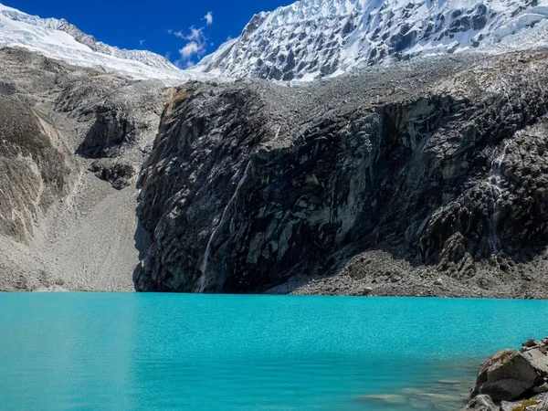
Laguna 69
1 linked stories and routes
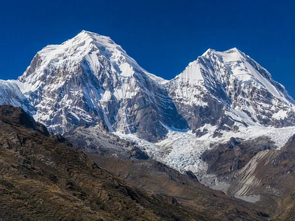
Cordillera Blanca
1 linked stories and routes
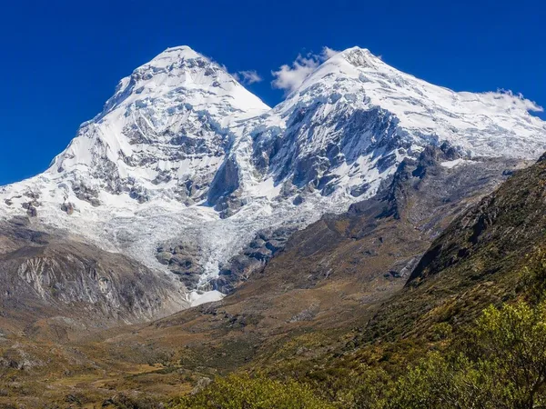
Huascarán National Park
1 linked stories and routes
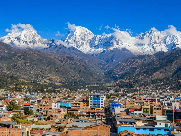
Huaraz
1 linked stories and routes
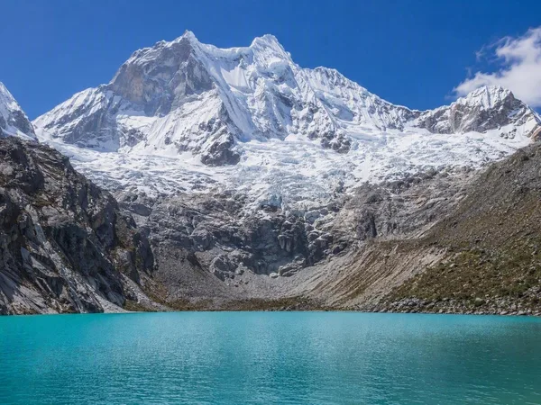
Chacraraju
1 linked stories and routes
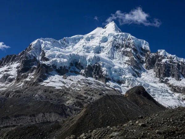
Pisco
1 linked stories and routes
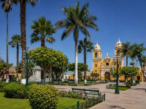
Chincha
1 linked stories and routes
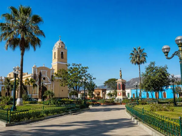
Cañete (San Vicente de Cañete)
1 linked stories and routes
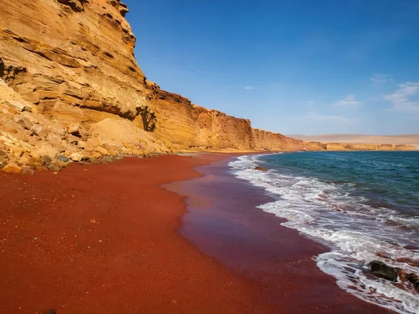
Paracas National Reserve
0 linked stories and routes
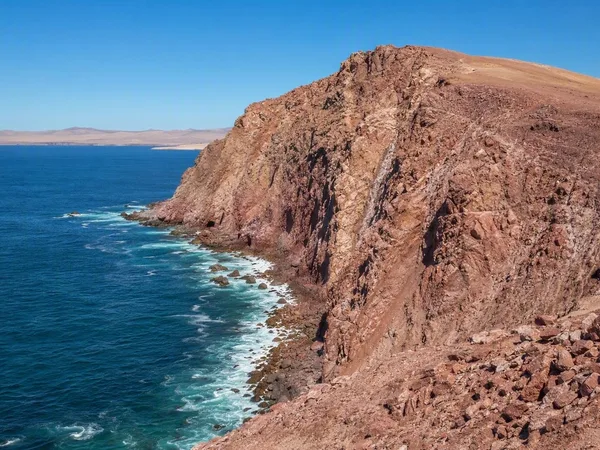
Punta Santa María, Paracas
0 linked stories and routes
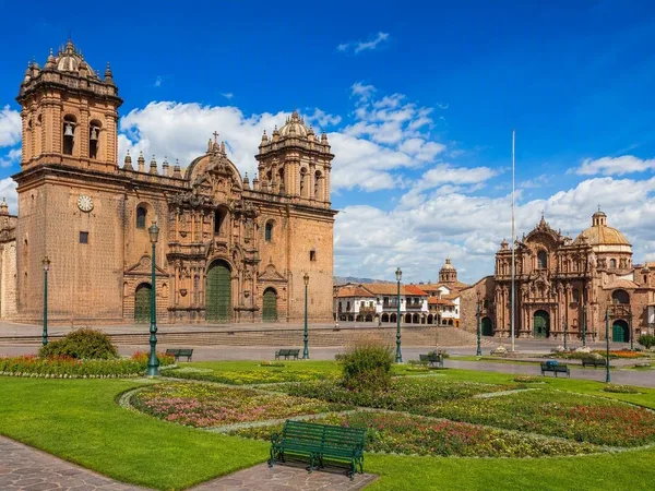
Cusco
0 linked stories and routes
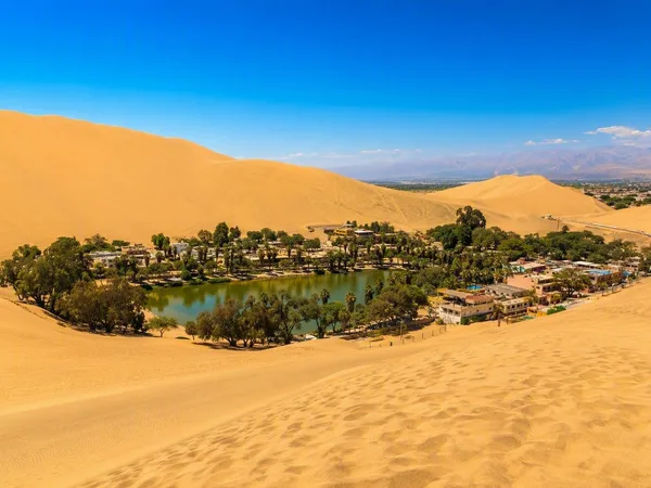
Ica desert
0 linked stories and routes