
City · Peru
Huaraz
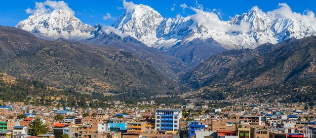
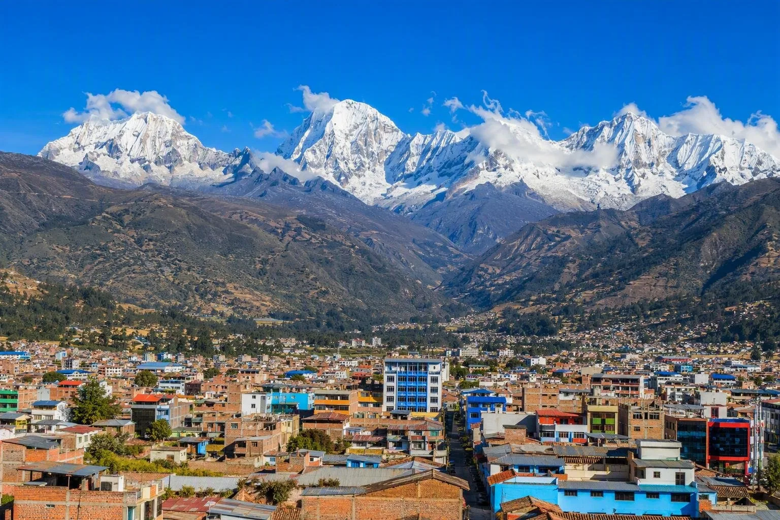
Huaraz is the high-altitude capital of Áncash, set at about 3,050 metres in Peru’s Callejón de Huaylas. It is the practical city base for the Cordillera Blanca’s lakes, trekking routes and mountaineering terrain.
Orientation
Huaraz sits where the Quilcay meets the Santa River in the Callejón de Huaylas, with the Cordillera Blanca rising to the east. At roughly 3,050 metres, this is a real altitude destination before you even leave town. The city is the capital of Áncash and the working base for the surrounding mountains rather than a resort inside Huascarán National Park.
The compact centre is where to sort cash, food, equipment, transport and guides. Use it as a staging point, then plan outings into the valleys and park rather than trying to cover the region from one rushed overnight stop.
First 48 hours: acclimatise
Arriving from low altitude calls for restraint. Keep the first two days easy: walk the centre, eat and hydrate regularly, and save hard climbs for later. A headache, nausea, unusual fatigue or breathlessness are reasons to stop gaining altitude and rest.
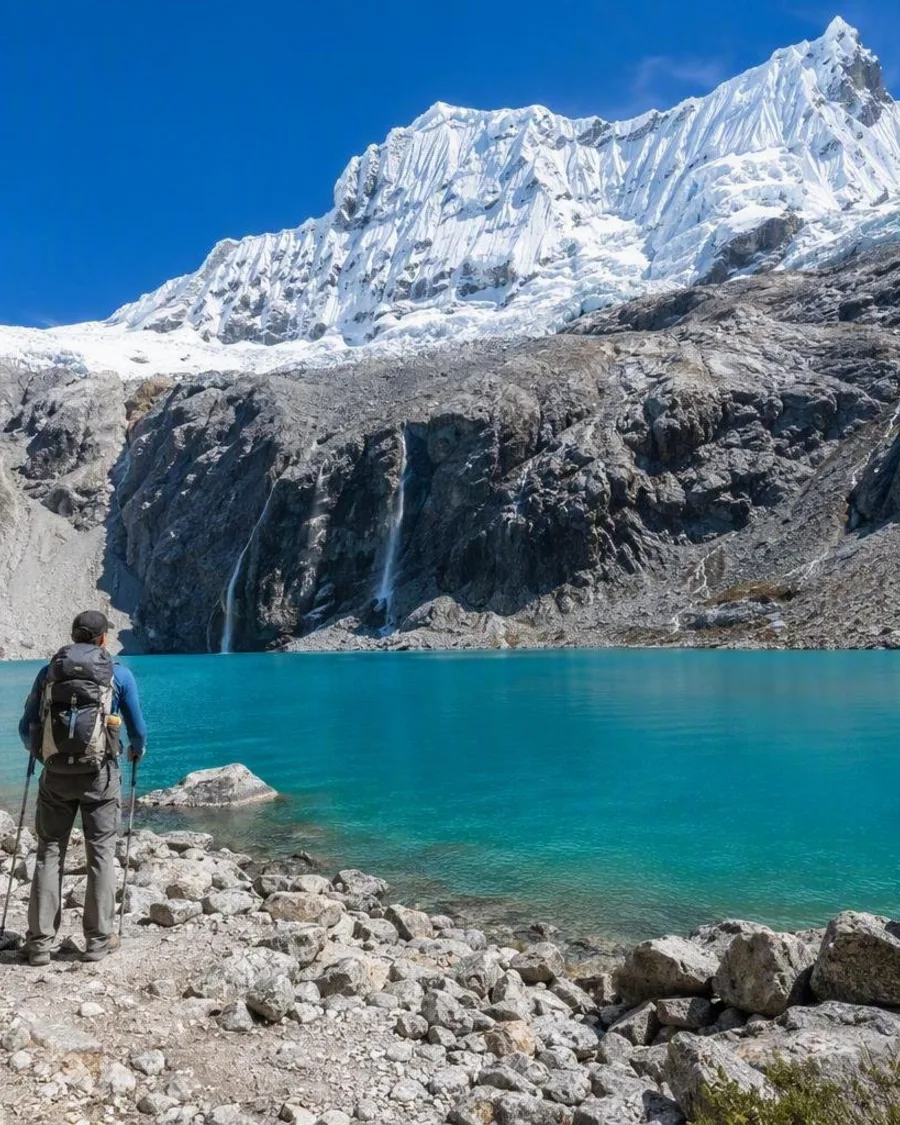
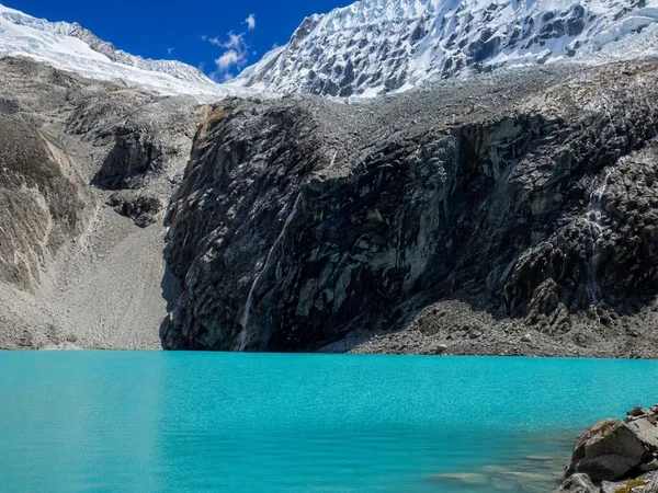
Build up deliberately. Laguna 69 is not a sensible first full-day outing from Huaraz. Spend at least two nights in town before attempting it; allow longer if you have previously struggled at altitude or have arrived directly from the coast.
What Huaraz is for
Huaraz is the launch point for landscapes and routes across the Cordillera Blanca:
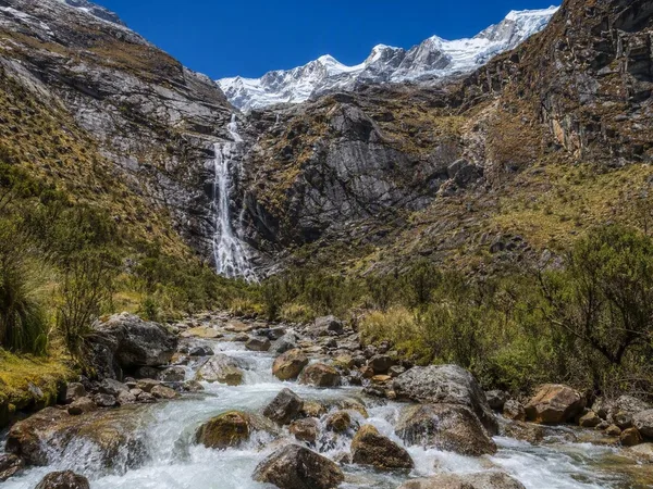
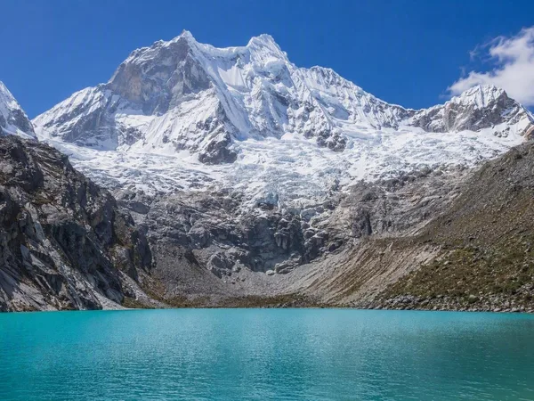
- Laguna 69: a demanding day hike to a vivid blue glacial lake beneath snowy peaks and waterfalls.
- Laguna Churup: a closer high-altitude hike with steep sections and rope-assisted passages.
- Llanganuco: the quieter trail between Chinancocha and Orconcocha lakes, through queñual woodland with views towards Huascarán.
- Santa Cruz Trek: a multi-day route through valleys, lakes and high passes, including Punta Unión above 4,700 metres.
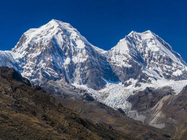
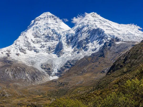
For the larger park landscape, expect glaciated peaks, ravines and lakes rather than urban sightseeing. May to October is generally the dry, cooler period for mountain travel.
Getting out of town
Road transport links Huaraz with Lima; the road distance is about 348 km. Flights can use Anta in Áncash, followed by an overland transfer. In town, arrange transport and licensed guides before heading to trailheads; distances on a map underestimate slow mountain roads.
For Laguna 69, access currently requires an authorised operator holding a valid park contract. The operator arranges the digital entry ticket and transport to Cebollapampa. Day trips commonly leave Huaraz around 5am. Confirm whether the park fee is included, and carry water, food, sun protection, warm layers, a waterproof shell and shoes with firm grip.
City context
Huaraz was virtually levelled in the 1970 earthquake and rebuilt with national and international assistance. That explains its largely modern urban fabric. The useful cultural counterweight to the mountain programme is close at hand: traditional villages, markets and regional dishes including pachamanca, chocho ceviche, llunca kashki and picante de cuy.
From the magazine
Stories about Huaraz
Editorial stories linked directly to Huaraz.
Routes from our editors
Travel through Huaraz
Editorial routes connecting Huaraz with other countries, cities and hotspots.
No routes through Huaraz have been published yet.
More in Peru
Related hotspots
Other cities, nature areas and places within Peru.
Callao
2 linked stories and routes
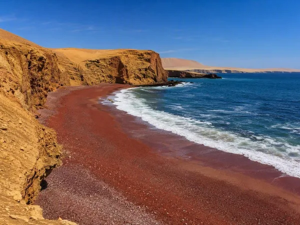
Playa Roja, Paracas
1 linked stories and routes
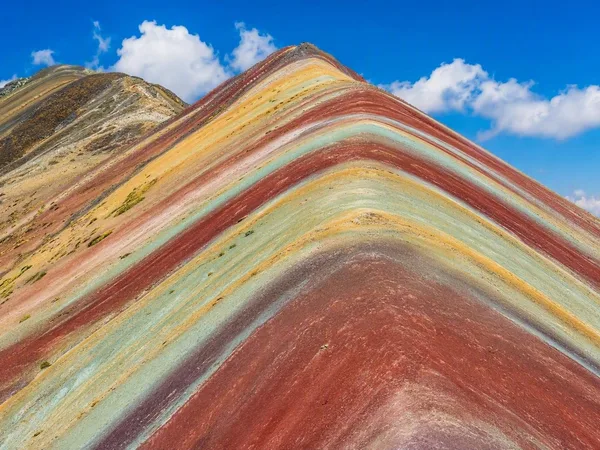
Vinicunca
1 linked stories and routes
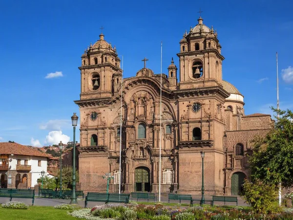
Plaza de Armas, Cusco
1 linked stories and routes
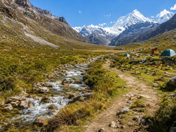
Cebollapampa
1 linked stories and routes
Laguna 69
1 linked stories and routes
Quebrada Demanda
1 linked stories and routes
Cordillera Blanca
1 linked stories and routes
Huascarán National Park
1 linked stories and routes
Chacraraju
1 linked stories and routes
Pisco
1 linked stories and routes
Chincha
1 linked stories and routes
Cañete (San Vicente de Cañete)
1 linked stories and routes
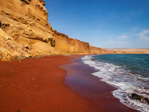
Paracas National Reserve
0 linked stories and routes
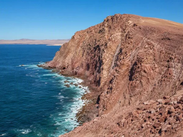
Punta Santa María, Paracas
0 linked stories and routes
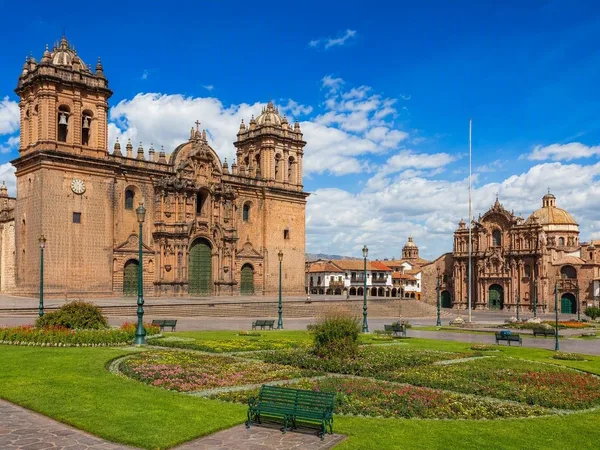
Cusco
0 linked stories and routes
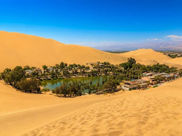
Ica desert
0 linked stories and routes