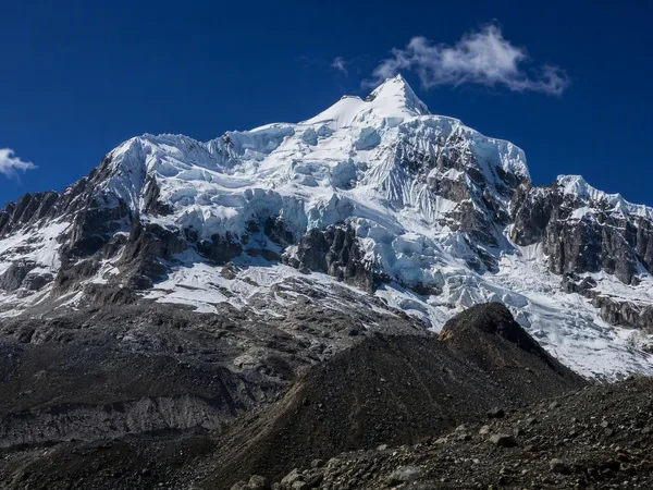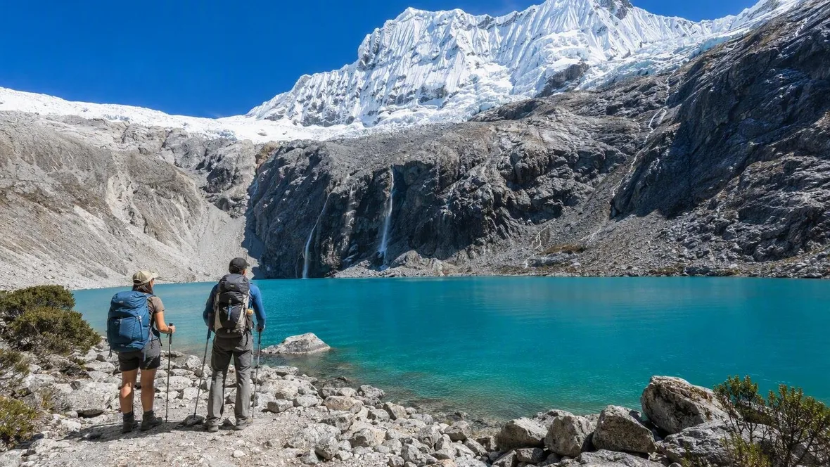
The High Path from Cebollapampa to Laguna 69
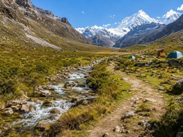
At Cebollapampa, the trail follows a stream across the green floor of a glacial valley. The hard climbing comes later, when grass gives way to loose rock and Laguna 69 waits above a second wall of switchbacks.
Cebollapampa and the green valley
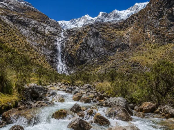
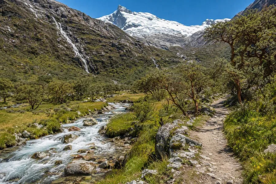 The Laguna 69 trail follows a stream through Quebrada Demanda’s green valley floor.
The return walk from Cebollapampa to Laguna 69 covers about 14 kilometres and gains roughly 700 metres, from around 3,915 metres to 4,610 metres. Allow about seven hours. It is not a technical climb, but its height and the steep final slopes set the pace.
The first stretch feels notably mild. A clear trail runs beside the stream through the Quebrada Demanda, across a broad green valley floor with low vegetation and queñual trees. Waterfalls come down from the higher slopes, and snowy peaks and glaciers fill more of the view as the valley rises.
Glaciers cut this valley long before the present trail crossed it. Ice scoured broad U-shaped troughs into the granite and granodiorite core of the Cordillera Blanca, leaving steep walls and sharp ridges above the valley floor. The stream beside the path and the waterfalls on the slopes carry meltwater down through that old glacial ground.
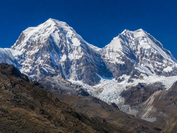
Huascarán National Park covers 340,000 hectares on both flanks of the Cordillera Blanca, the world’s largest tropical ice-covered mountain range. Its deep quebradas hold about 660 glaciers and around 300 glacial lakes. On this trail, that scale shows plainly: grass and running water lie low in the valley, while snow, ice and bare rock hold the upper ground.
The first climb above Quebrada Demanda
After about an hour, the easy profile ends. Stone switchbacks climb away from the stream towards a small lake, and the route reaches roughly 4,300 metres after a flatter section above the first ascent.
This is where altitude stops being a number on a map. Fitness helps with the walking, but it does not reliably prevent altitude illness; ascent rate and individual sensitivity also matter. A steady pace that still allows conversation makes more sense than a quick start. The flatter ground after the first climb gives tired legs and breathing room before the last ascent.
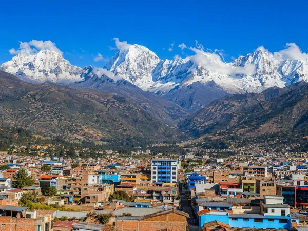
Laguna 69 is not a good choice for the first full day after arriving in Huaraz. Spending at least two nights there beforehand, keeping the first 48 hours easy and taking only light walks gives the body time to adjust before this climb. People arriving from low altitude, or those who have had altitude problems before, may need more time and a gentler build-up.
Headache with nausea, dizziness, loss of appetite or marked exhaustion means it is time to stop ascending. Symptoms that worsen at rest call for descent. Confusion, poor coordination, breathlessness at rest or coughing require immediate descent and medical help.
Weather on the open slopes
The ground above the first climb lies open to sun, wind and fast-changing cloud. May through October is generally the cold, dry season in Huascarán National Park, when clearer views and firmer trails are more likely. October through April is the wetter season.
Dry season still brings no guarantee of clear skies. Rain has been recorded in the Cordillera Blanca during June to August, and cloud can hide Chacraraju and Pisco. Rain or wet snow makes earth, stones and streamside sections slicker. Loose ground slows the descent most of all.
Temperature can shift with the pace. The climb creates heat, while a pause by the lake can cool a walker quickly in Laguna 69’s cold, damp high-altitude climate. Warm layers and a windproof or waterproof shell suit that change better than one heavy garment.
Practicalities. Laguna 69 currently requires a visit through a travel operator authorised by SERNANP and holding a valid contract; the operator arranges the digital entry ticket and transport to Cebollapampa. Park entry costs S/30 for non-Peruvian residents and S/15 for Peruvian residents; check whether the quoted tour price includes it. Official park information lists visiting hours from Monday to Friday, 8.30am to 3pm. Organised day trips commonly leave Huaraz around 5am, drive to Cebollapampa and collect walkers there after the descent. Book an authorised operator at least a day ahead. Carry water, sun protection, warm layers, a weatherproof outer layer and shoes with reliable grip.
The last switchbacks to Laguna 69
The second climb decides the day. The trail rises in tight zigzags over looser, rockier ground, while the air thins towards Laguna 69 at 4,604 metres. The slope is not technical, but it comes at the highest point of the walk, where steady effort asks most of lungs and legs.
Small steps work well here. So does refusing to chase lost time. The final rise combines sustained climbing with the lowest oxygen levels of the route. A short, flatter section follows above the slope before the water comes into view.
The rougher terrain has a clear source. Steep granodiorite walls shed rock and debris into valleys and lake basins, while retreating ice exposes fresh slopes and hollows. The upper trail has left the grassy valley floor far below.
Laguna 69 beneath Chacraraju
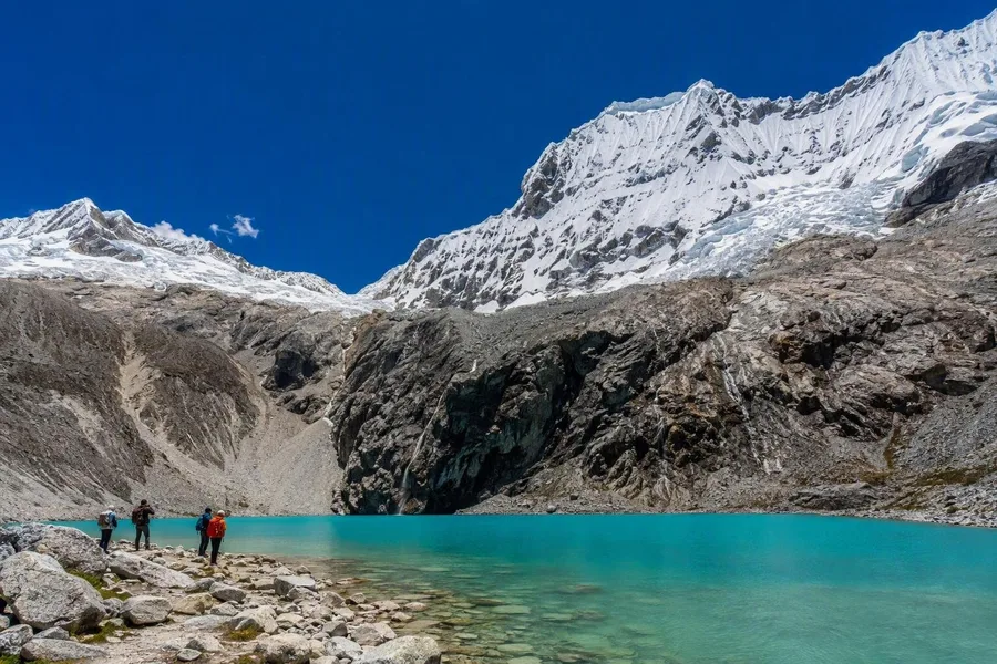 Walkers reach Laguna 69’s stony shore beneath Chacraraju in Huascarán National Park.
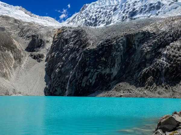
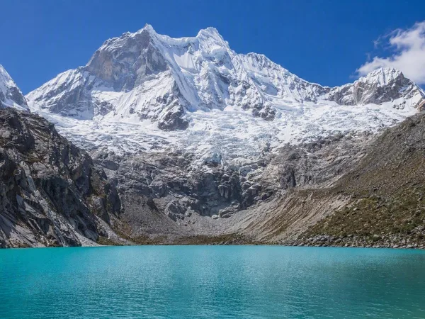
Laguna 69 lies beneath steep walls below Chacraraju, with Pisco among the snowy peaks around the basin. Light-blue to turquoise water fills the hollow between dark rock faces, fed by snow and glacial meltwater.
The colour is not simply a reflection of the sky. Fine mineral particles from glacial meltwater remain suspended in the lake and scatter light through the water. Waterfalls descend from the glaciated slopes into a basin that earlier ice carved from the mountain.
The trail finishes at the stony edge of the lake. Above the cold water, Chacraraju’s snow and dark rock frame the moving meltwater that feeds Laguna 69.
Keep exploring
Places in this story
South America
3 landen en gebieden
Peru
Cebollapampa
Laguna 69
Quebrada Demanda
Cordillera Blanca
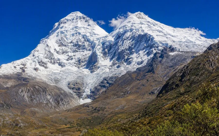
Huascarán National Park
Huascarán National Park protects 340,000 hectares of Peru’s Cordillera Blanca in Áncash. It is a vast high-Andean landscape of snow peaks, glaciers, glacial lakes and deeply cut valleys, centred on Peru’s highest mountain.
Huaraz
Chacraraju