
Region · Colombia
Sabana de Bogotá
The Sabana de Bogotá is the high Andean plain around Bogotá in Cundinamarca, Colombia. Its cool altitude, working farmland, wetlands and flower greenhouses make it the agricultural landscape behind much of the capital’s flower trade.
The high plain around Bogotá
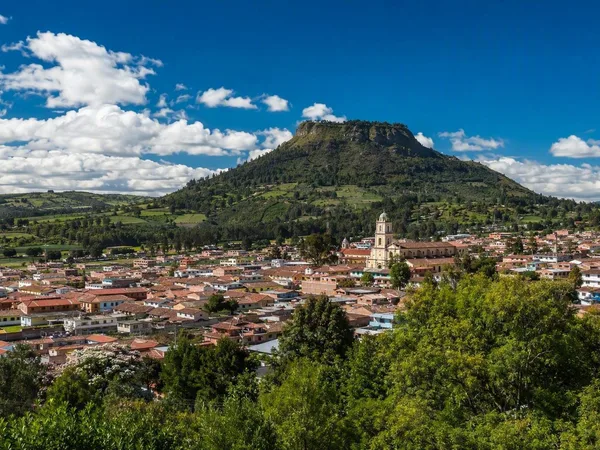
The Sabana de Bogotá is a broad highland region in Colombia’s Eastern Cordillera, forming the southern part of the Altiplano Cundiboyacense. Bogotá occupies its eastern side; towns and farmland extend across the plain toward municipalities including Funza, Mosquera, Madrid, Chía and Zipaquirá.
This is not a single park or a destination with one entrance. It is a working, inhabited landscape at roughly 2,650 metres above sea level, where urban expansion, agriculture, water and mountain edges meet.
Read the landscape
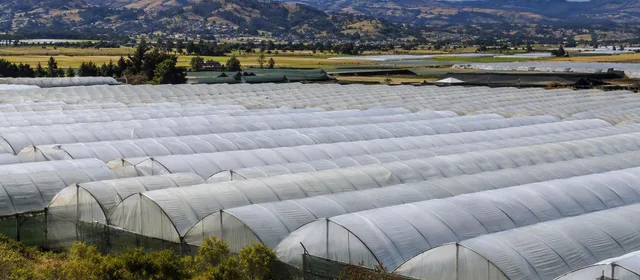
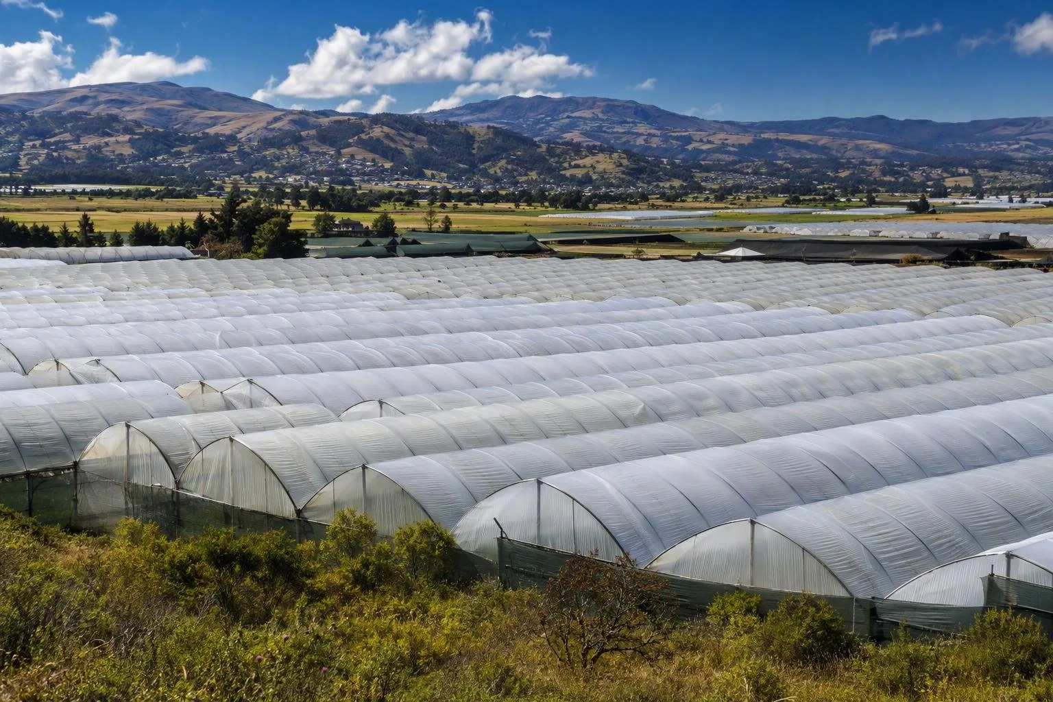
Look west from Bogotá or travel across the plain and the defining forms are clear: a remarkably level basin, the enclosing Andes, agricultural fields and long runs of plastic-roofed greenhouses. The Bogotá River crosses the region, while tributaries and remnant wetlands shape the low ground.
Wetlands are essential rather than incidental scenery. They hold and regulate water, but many surviving sites sit beside dense urban and industrial development. The region’s environmental importance now places water, wetland restoration, rural soils and forested mountain areas at the centre of land-use planning.
Flower country
The Sabana is Colombia’s principal cut-flower-growing landscape. Cool highland conditions and greenhouse cultivation support a large flower economy, especially on the western plain. Rows of greenhouses are the most legible visual marker of that industry.
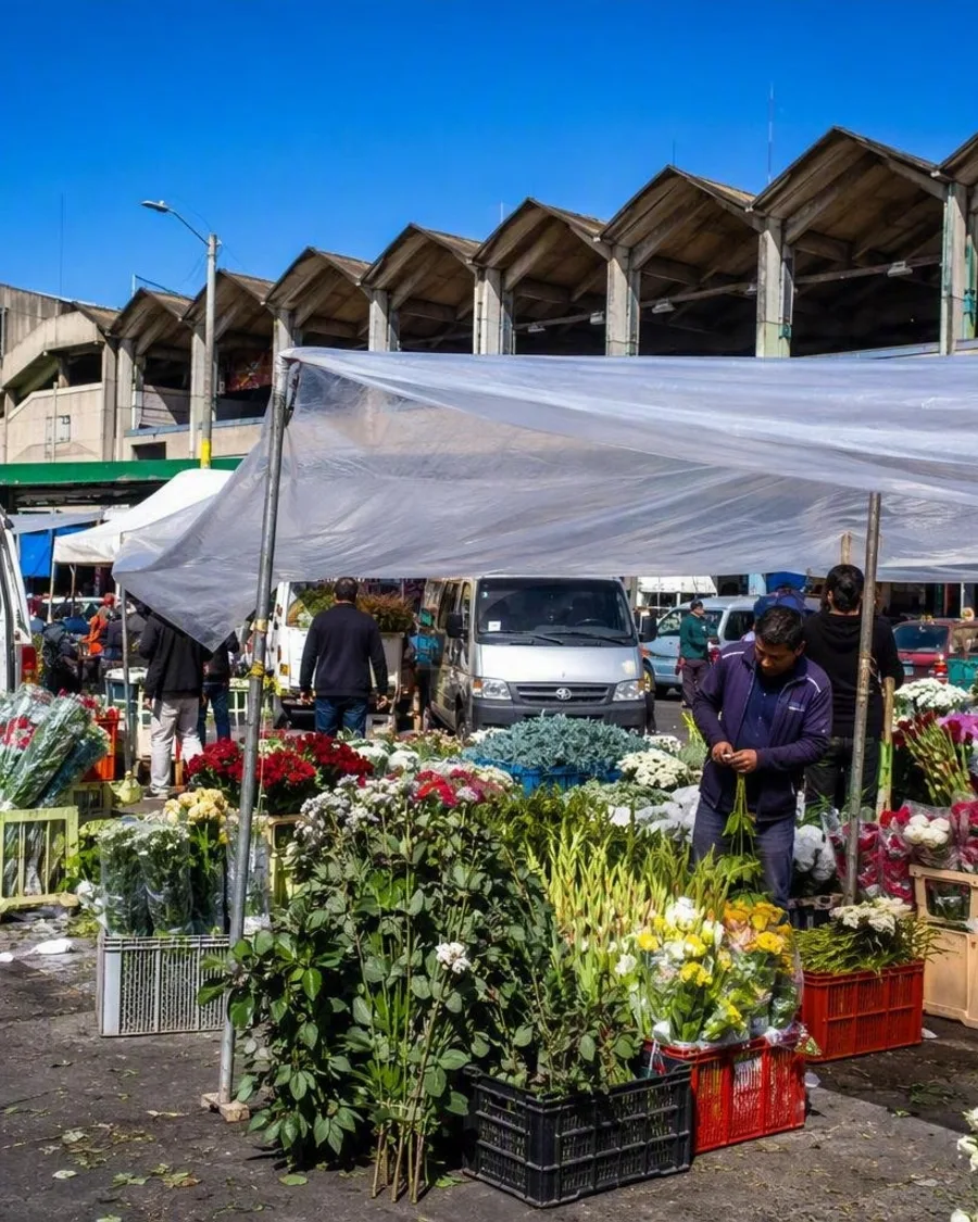
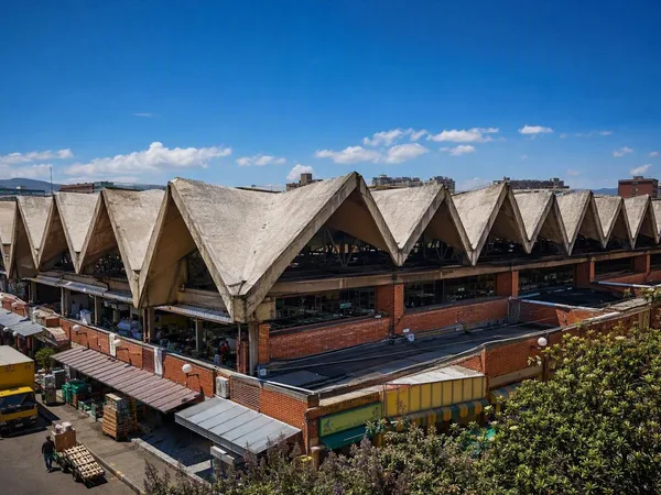
The connection reaches into Bogotá itself: flowers sold at Mercado de Paloquemao commonly begin at farms on the Sabana, then arrive in vans and small trucks before the market opens. Treat the market as the urban end of the landscape, not as a substitute for it.
What to notice
- Greenhouse belts against open fields and mountain horizons
- Dairy and crop land alongside fast-growing urban edges
- Water channels, marshes and wetland vegetation in low areas
- The contrast between Bogotá’s built-up west and rural municipalities beyond it
Getting a useful view
Use Bogotá as the practical base, then travel by road toward the western and northern municipalities. The plain is extensive, so pick a direction and a specific town, wetland or rural stop rather than trying to “do” the Sabana in one outing.
Road journeys are better for reading the landscape than city-centre sightseeing: sit by a window, especially on routes heading west toward Funza, Mosquera and Madrid. For flowers, ask for an authorised farm visit; the greenhouses are workplaces and are not generally open for casual entry.
Weather and ground rules
Altitude keeps temperatures cool despite the equatorial setting. Dry and rainy periods alternate through the year; rain, wind, hail and sharp temperature changes can all affect a day outdoors. Bring warm layers and rain protection.
At wetlands and rural edges, remain on public paths or designated access routes. Do not enter cultivated plots, greenhouse compounds or water-management areas without permission. The Sabana is a productive and environmentally sensitive region, not an open-access field system.
From the magazine
Stories about Sabana de Bogotá
Editorial stories linked directly to Sabana de Bogotá.
Routes from our editors
Travel through Sabana de Bogotá
Editorial routes connecting Sabana de Bogotá with other countries, cities and hotspots.
No routes through Sabana de Bogotá have been published yet.
More in Colombia
Related hotspots
Other cities, nature areas and places within Colombia.
Bogotá
1 linked stories and routes
Mercado de Paloquemao
1 linked stories and routes
Cota, Cundinamarca
1 linked stories and routes
Cabo San Juan del Guía
1 linked stories and routes
Plaza de la Trinidad, Cartagena
1 linked stories and routes
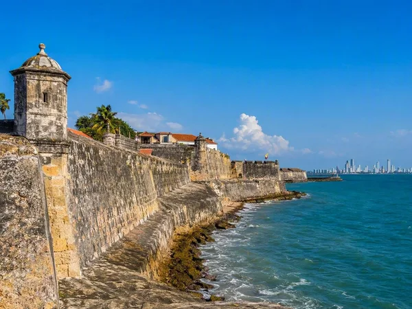
Cartagena
1 linked stories and routes
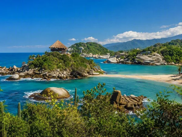
Tayrona National Natural Park
0 linked stories and routes
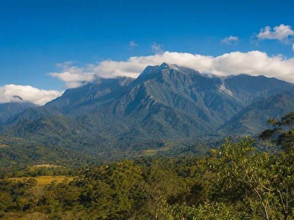
Línea Negra, Sierra Nevada de Santa Marta
0 linked stories and routes
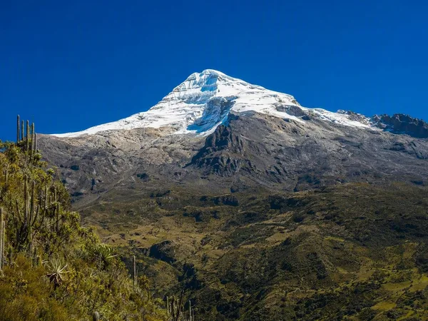
Sierra Nevada de Santa Marta
0 linked stories and routes